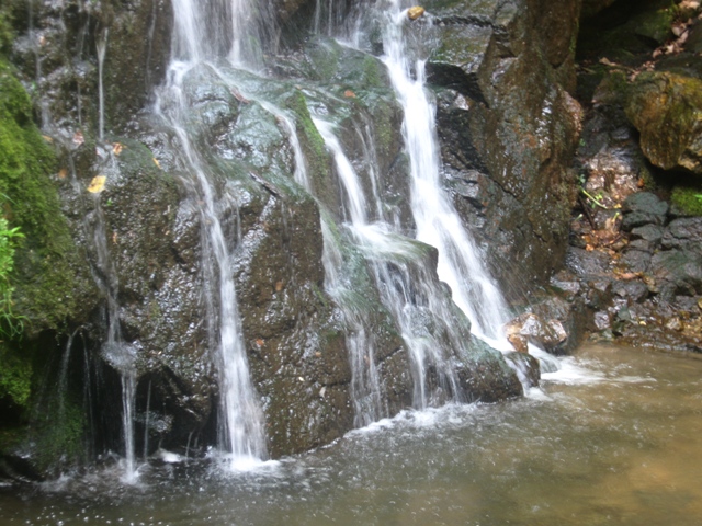
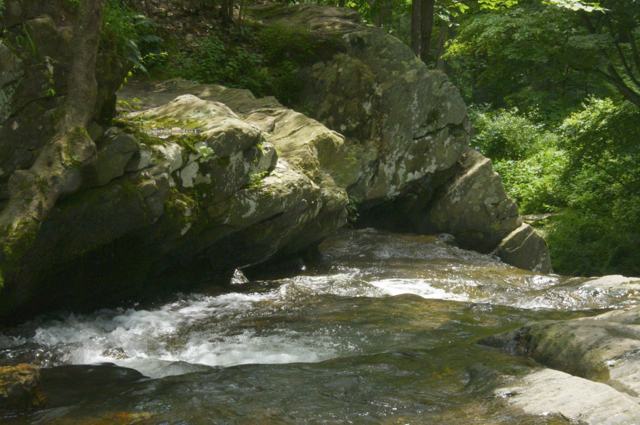
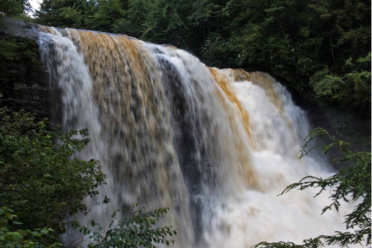
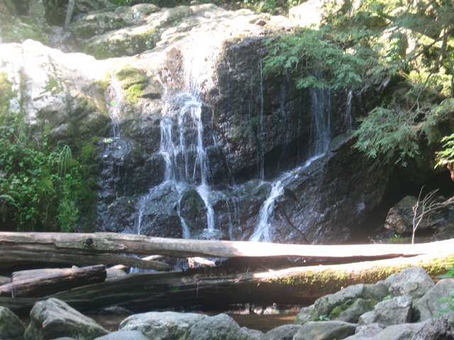
state route ranger badge
Maryland
1

Maryland State Parks

responsive menu icon
USA Parks
Maryland
Lower Eastern Shore Region
Find A Park
start slideshow
Patapsco State Park Cascade Falls © Jaganadha R Sastry Karra
This is the Cascade Falls in the State Park
Swallow Falls State Park Muddy Creek Falls © Kelly Russo
Muddy Creek Falls in summer
Patapsco State Park © Jaganadha R Sastry Karra
Deer Creek State Park Kilgore Falls © Lynn Cordell
Top of the falls in Deer Creek State Park
Oh Yell © stateparks.com
Cool Swim © stateparks.com
Picnic Table © stateparks.com
It is always a great day for a picnic in the park.
Keep On Leash © stateparks.com
Campfire and Hotdogs © stateparks.com
Roasting hot dogs over an open fire.
Spring Hike © stateparks.com
Afternoon Hike © stateparks.com
Search
Availability
Calendars
Availability Search
Maryland's Lower Eastern Shore Region Parks

1
National Seashore
5
State Wildlife Management Areas
2
National Wildlife Refuges
1
State Forest
5
State Parks
Parks in this region are near these Maryland Cities (click city name to see parks within 25 miles)
SALISBURY
EASTON
BERLIN
CAMBRIDGE
Assateague Island National Seashore
Storm tossed seas, as well as gentle breezes shape Assateague Island. This barrier island is a tale of constant movement and change. ltPgtBands of wild horses freely roam amongst plants and native animals that have adapted to a life of sand, salt and wind. Special thickened leaves and odd shapes reveal ........more >
Assateague State Park
Marylandaposs only ocean park is located on Assateague Island, a barrier island bordered on the east by the Atlantic Ocean and on the west by Sinepuxent Bay. Two miles of ocean beaches offer swimming, beachcombing, sunbathing, surfing and fishing. The islandaposs bayside offers canoeing to secluded ........more >
Blackwater National Wildlife Refuge
Blackwater National Wildlife Refuge, located 12 miles south of Cambridge, Maryland, was established in 1933 as a refuge for migratory waterfowl. The refuge includes more than 26,000 acres, composed mainly of rich tidal marsh characterized by fluctuating water levels and variable salinity. Other habitat ........more >
Cedar Island State Wildlife Management Area
Because of its nearly 3,000 acres of tidal marsh, ponds and creeks, black ducks flock to the island located in Tangier Sound near the town of Crisfield. Other tidal wetland wildlife species are also attracted to the area, but its attraction for black ducks is legendary. In the 1960s, wildlife biologists ........more >
Deal Island State Wildlife Management Area
Expanses of tidal marsh, frequently broken by open water, characterize most of the habitat of this WMA. The 13,000 acre property also contains forested wetlands and a 2,800-acre man-made pond or impoundment. The water insects and crustaceans, as well as the abundance of wigeongrass, horned pondweed ........more >
Fairmount State Wildlife Management Area
Typical of river habitat on the Chesapeake Bay, Fairmount WMA's 4,000 acres are mostly marshlands. It is located between the Manokin and Annemessex Rivers in Somerset County. Forested wetlands occupy a small portion of the area. Two man-made ponds, or impoundments, have been created. This habitat, as ........more >
Janes Island State Park
With two distinct areas, Janes Island State Park has a developed mainland section with cabins and camping areas, and a portion accessible only by boat. The original island inhabitants were Native Americans of the Annemessex Nation. The parkaposs marked water trails offer canoeing and kayaking in a natural ........more >
Linkwood State Wildlife Management Area
A remnant of a larger forest ecosystem, Linkwood WMA is predominantly a dense mixture of oaks, maple, black gum and loblolly pine. Located in Dorchester County, it's just shooting distance from the town of Linkwood. Its 313 acres include some of the most significant forests in the county and support ........more >
Martin National Wildlife Refuge
Martin National Wildlife Refuge includes the northern half of Smith Island, which lies 11 miles west of Crisfield, MD, and Watts Island, which is located between the eastern shore of Virginia and Tangier Island. Both islands are situated in the lower Chesapeake Bay. The Refuge was established in 1954 ........more >
Milburn Landing State Park
........more >
Pocomoke State Forest
The Pocomoke State Forest consists of 14,753 acres in Worcester County,and lies between Snow Hill and Pocomoke City. The forest is famous for its stands of loblolly pine trees. Cypress swamps border the Pocomoke River and the nearby waters provide good fishing. Five areas in the forest, including the ........more >
Shad Landing State Park
........more >
Vaughn State Wildlife Management Area
From the 1940s to the 1960s, E.A. Vaughn WMA was a game farm where a number of pheasant species were raised and released. It was also an area where wildlife biologists experimented with plants and planting arrangements which would most benefit wildlife. Today, these plantings and the mixture of forests, ........more >
Wye Oak State Park
The Wye Oak, Marylandaposs State Tree and the largest White Oak in the United States, toppled June 6, 2002 during a thunderstorm in the village of Wye in Talbot County on Marylandaposs Eastern Shore. Believed to be more than 460 years old, the beloved tree was purchased by the State Maryland in 1939, ........more >
Visit Another Maryland Region

state route ranger badge
Maryland
1

Maryland State Parks

X