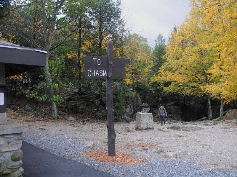
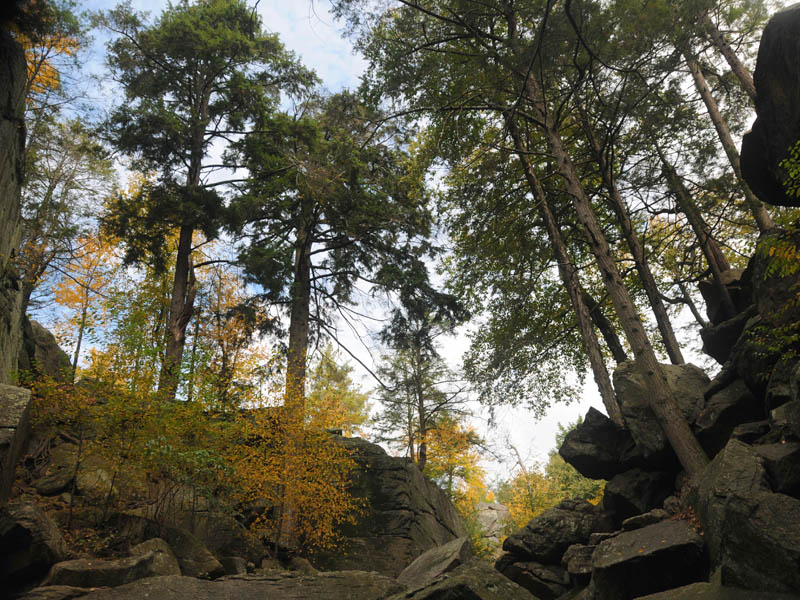
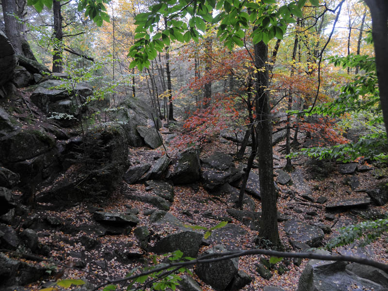
PURGATORY CHASM STATE PARK
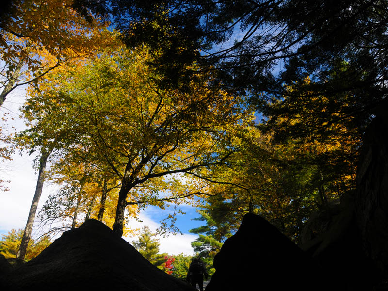
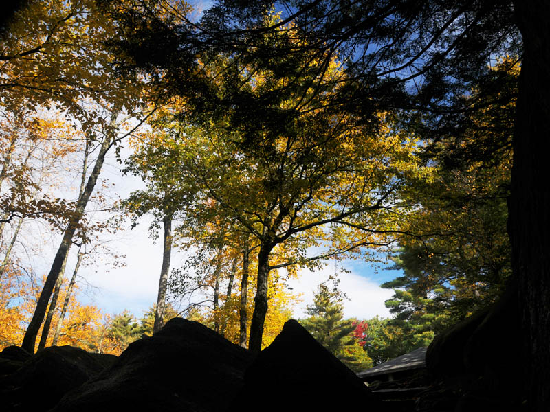
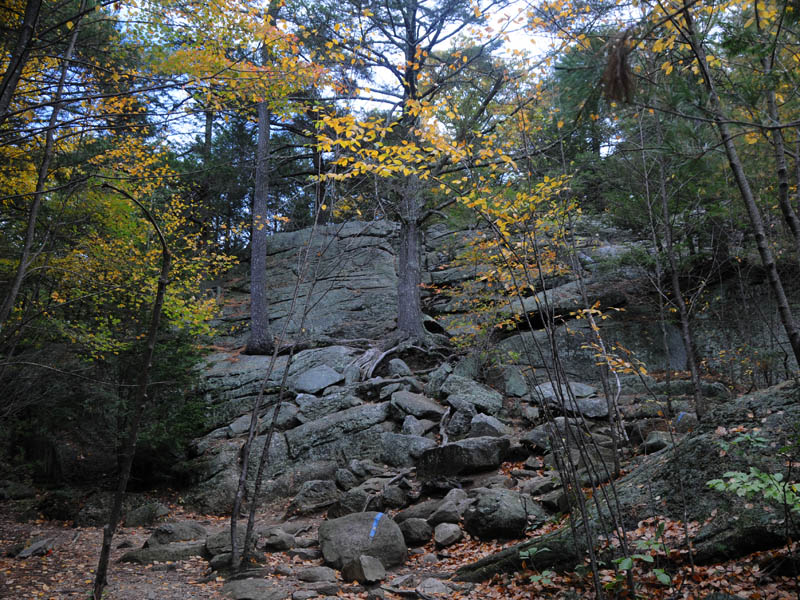
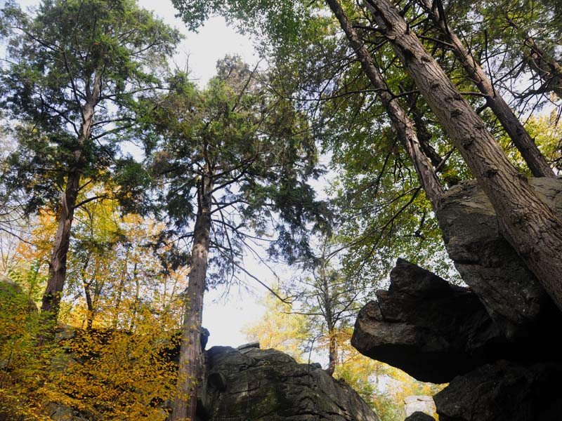
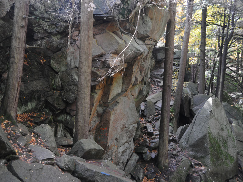
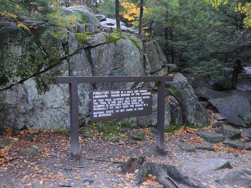
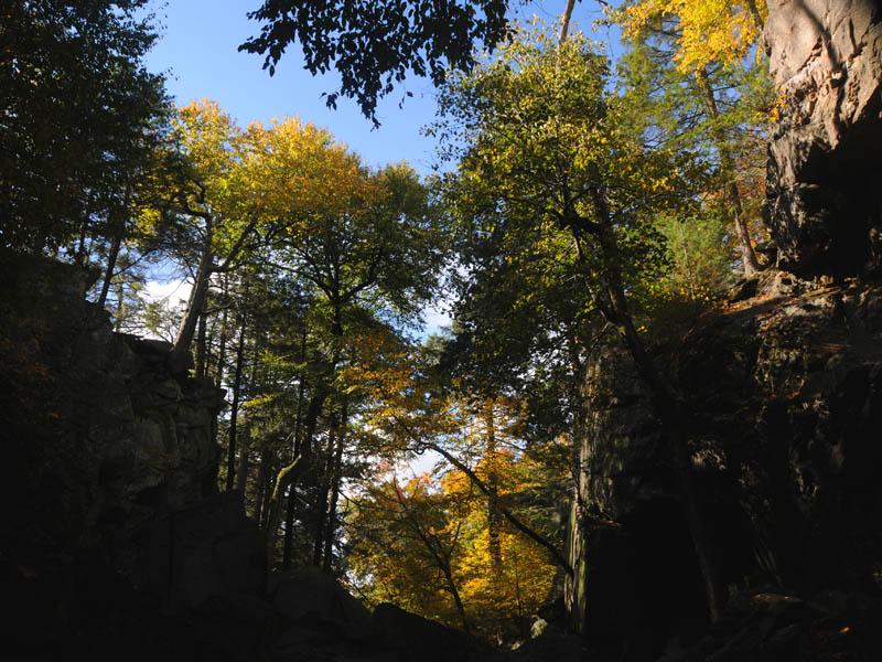
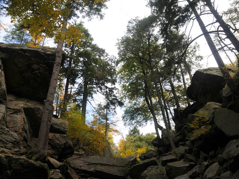
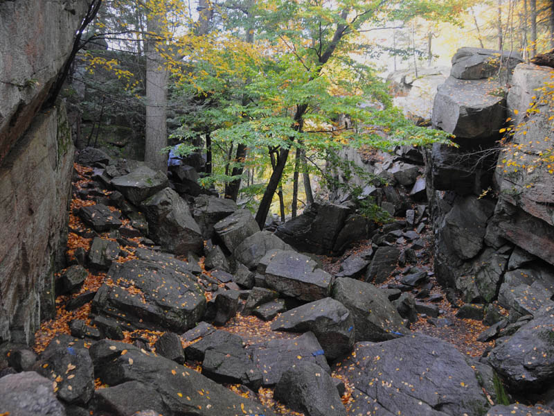
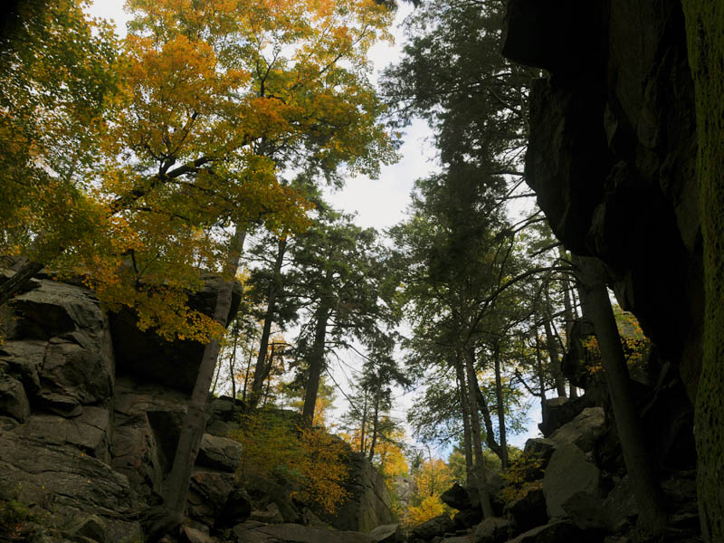
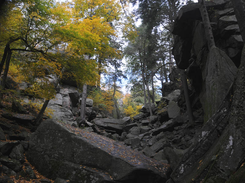
A unique natural landmark, Purgatory Chasm runs for a quarter of a mile between granite walls rising as high as 70 feet. Popular with picnickers and rock-climbers alike, the Chasm is believed to have its origin in the sudden release of dammed-up glacial meltwater near the end of the last Ice Age, approximately 14,000 years ago.
Trails lead to a wide variety of rock formations, with such romantic names as The Corn Crib, The Coffin, The Pulpit, Lovers' Leap and Fat Man's Misery.
Hotels/Motels
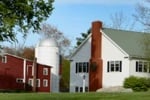
Located on over 100 wooded lakefront acres, overlooking Ashland State Park. Right out our front door you get to truly enjoy the great outdoors. Easy access to trails for hiking, and an area for swimming. Come and enjoy all that Ashland State Park has to offer, and stay at the Warren Center right next door.
15 miles from park*
Purgatory Chasm State Park is located near Ashland, Auburn and Bellingham
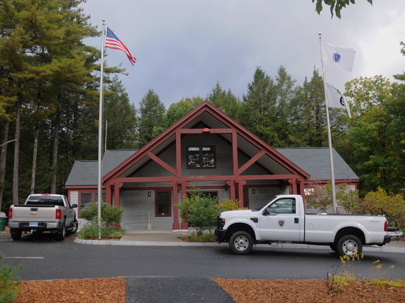
Purgatory Chasm State Park offers picnic tables and grills, perfect for family outings. No alcohol is allowed in the park.
Purgatory Chasm State Reservation is located in the south-eastern part of central Massachusetts.
From the east & west: Take Mass Pike to Exit 10A, take Rt.146 south about 4 miles into Town of Sutton, take Purgatory Road Exit, take right at end of ramp onto Purgatory Road, park is 1,000 feet up the road.
From the north and south: Take Rt. 495 to Mass Pike, head West on Mass Pike to Exit 10A, take Rt.146 south about 4 miles into Sutton, take Purgatory Road Exit, take right at end of ramp onto Purgatory Road, park is 1,000 feet up the road.
From the north: Take Rt I90 south to Rt 290 south into Worcester. Take Exit 12 at Brosnihan Square onto Rt. 146 -Millbury Street. Head south on Rt. 146 about 6 miles into the Town of Sutton. Take Purgatory Road Exit, take right at end of ramp onto Purgatory Road, park is 1,000 feet up the road.


 Share Your Purgatory Chasm State Park Photos (click here)