MOUNT GILEAD STATE PARK
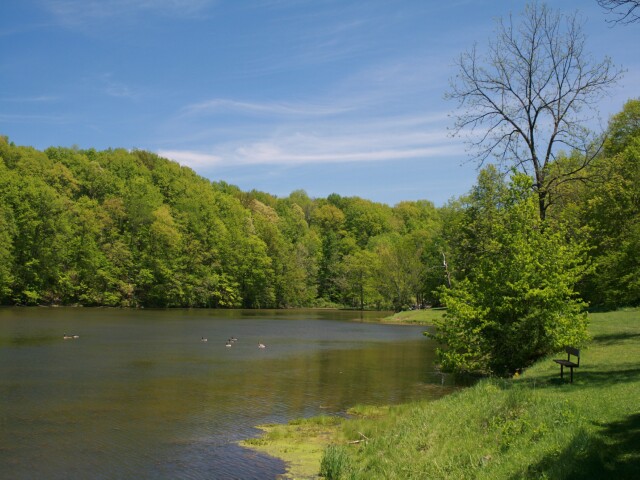
Mt. Gilead State Park is a quiet, small park centrally located in the state of Ohio. Picnicking, fishing and hiking can be enjoyed year-round at this beautiful location.
The wealth of natural wonders found at Mt Gilead State Park can be traced back to the Ice Age--a time when two-thirds of Ohio was frozen land covered with glacial ice, nearly a mile thick in places. During this age many changes occurred in the Ohio landscape: the stream systems were altered, topography changed and the Great Lakes were formed. The glaciers left Ohio a legacy of valuable natural resources.
In the vicinity of Mt. Gilead, three end moraines (linear ridges of glacial sediment deposited along the ice edge) converged and account for the rolling terrain seen today. A beautiful stand of second growth beech-maple forest exists at Mt. Gilead.
The mature woodlands provide a glimpse of what Ohio was to the early settlers. Wildflowers such as wild geranium, hepatica, trillium and bloodroot, carpet the spring forest floor. The leafy canopy is occupied by the woodthrush, white-breasted nuthatch, Carolina wren and other songbirds. Skunks, raccoons, white-tailed deer and a variety of other mammals make this park their home.
Mt. Gilead State Park is located in Morrow County near the center of the state. The first permanent settlers came into the county after the close of the War of 1812. The first gristmill and sawmill were built on Whetstone Creek in 1821. The town of Mt. Gilead, the county seat, served as a major stop on the underground railroad prior to the Civil War. In more recent history, an oil boom occurred in Morrow County. In 1961, a well was drilled on the Orrie Myers' property that produced 200 barrels a day. As a result of that wells success, 30-40 well are drilled in Morrow County annually.
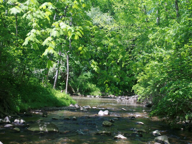
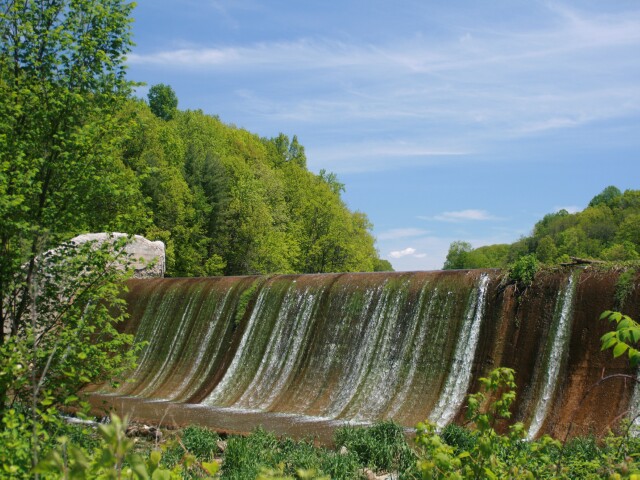
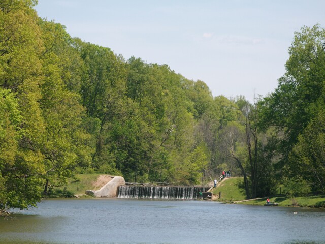
The first lake at Mt. Gilead was built in 1919 on the upper level of Sam's Creek. On July 10, 1930, a larger lake was completed below the first one on this same tributary of Whetstone Creek. The recreational area was originally under the supervision of the Bureau of Engineering. In 1949, it was turned over to the newly formed ODNR Division of Parks and Recreation to be maintained as a state park.
Ohio does not have an annual pass and does not charge entrance fees to state parks.
GeneralLand, acres181
Water, acres32
Day-UseFishingyes
Hiking Trail, miles6
Picnickingyes
Picnic Shelters, #3
Nature Programsyes
BoatingBoating Limits-1
Launch Ramps, #1
CampingElectric Sites, #59
Pets Permittedyes
Dumpstationyes
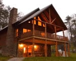
Camper Cabins, #2
Group Camp, capacity200
Youth Group Camp, capacity200
WinterSleddingyes
Cross-Country Skiingyes
Ice Skatingyes
Ice Fishingyes
AccommodationsGolf Courseyes
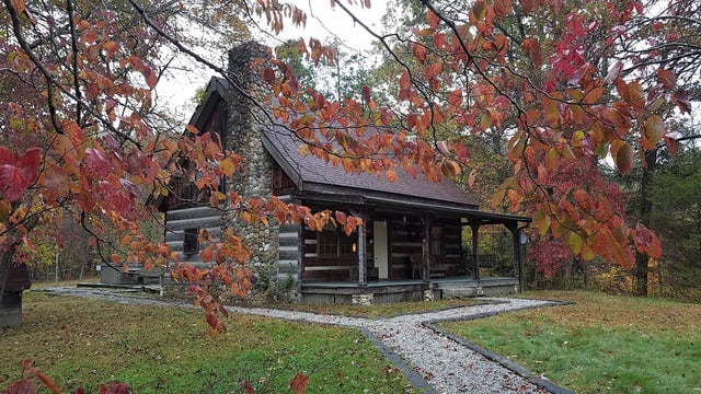
A scenic camping area, set in a pine forest, is open all year for camping enjoyment. Facilities include fire rings, picnic tables, waste-water drains and latrines. Four Rent-A-Camp sites which provide a tent, dining canopy, cookstove, sleeping cots and other gear are available near the west end of the park for organized groups. Pet camping is permitted on designated sites.


 Share Your Mount Gilead State Park Photos (click here)
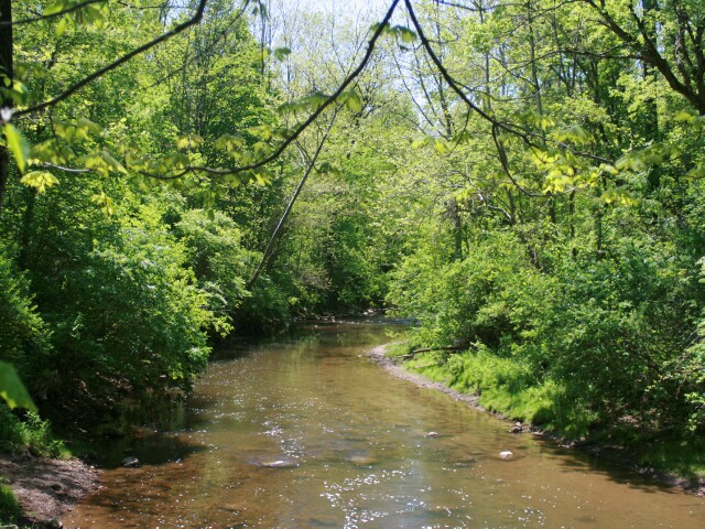