BENSON STATE RECREATION AREA
Simon Benson was a lumber magnate, philanthropist, and one of the principal promoters of the Historic Columbia River Gorge Highway. Located one mile west of Multnomah Falls on I-84 at milepost 30 (eastbound access only), picnickers love this park; there's even a disc golf course and a reservable shelter for groups.
Free Fishing Day is an annual event around the first weekend of June (call 1-800-551-6949 for details). Anyone can bring their own pole (or use equipment provided) to try their luck catching some of the thousands of rainbow trout stocked each month into the lake between March and October. This is a non-motorboat lake, so it's perfect for rowboats and swimmers.


 Share Your Benson State Recreation Area Photos (click here)
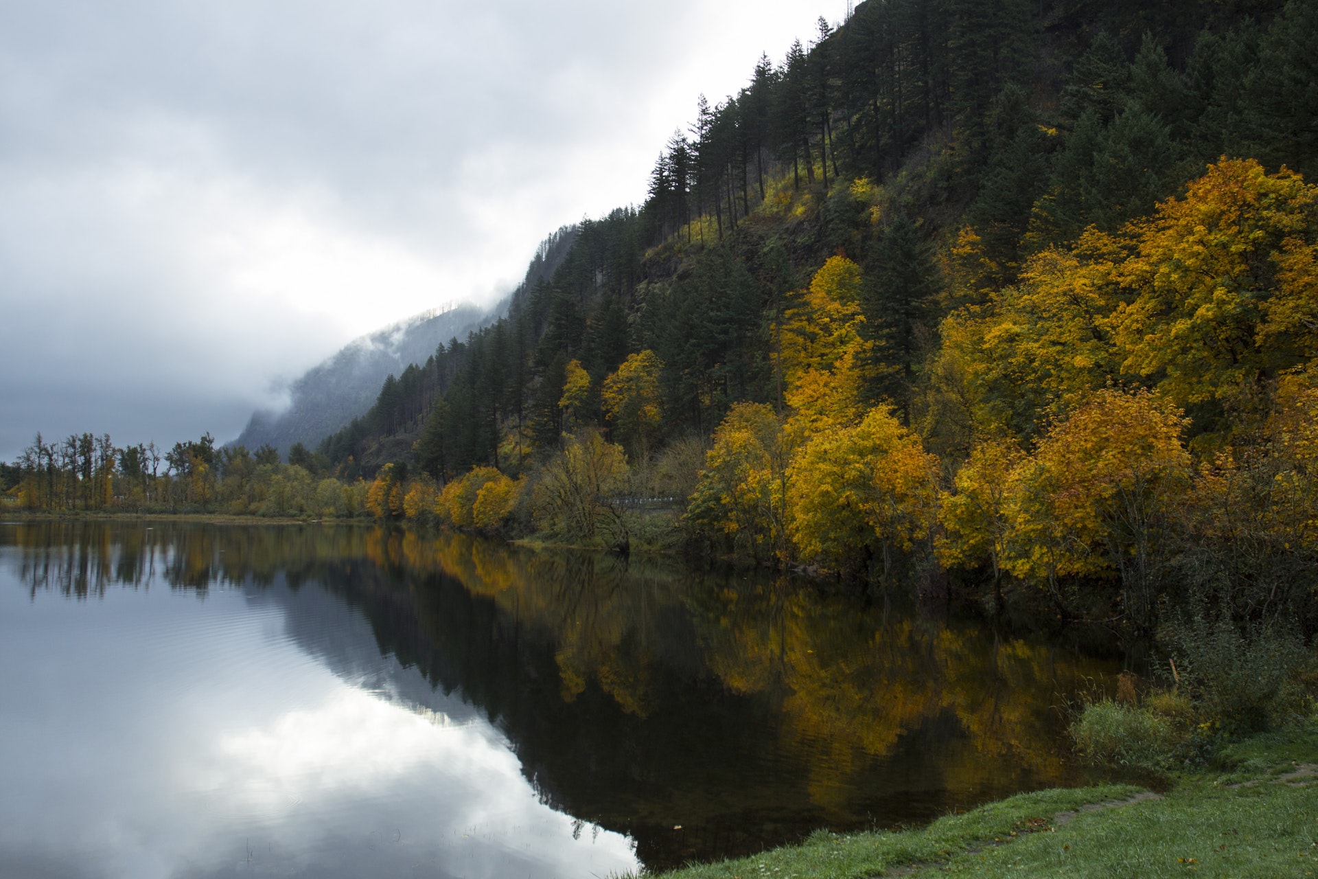