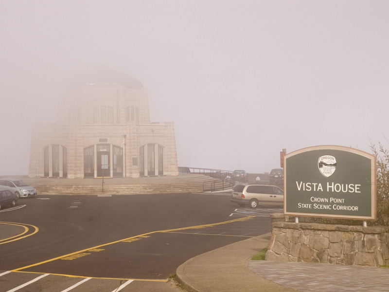
CROWN POINT STATE SCENIC CORRIDOR
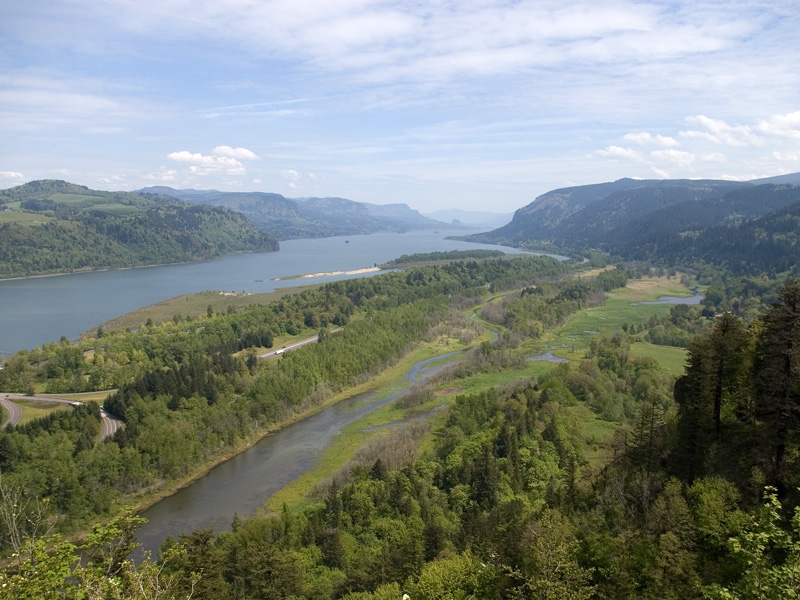
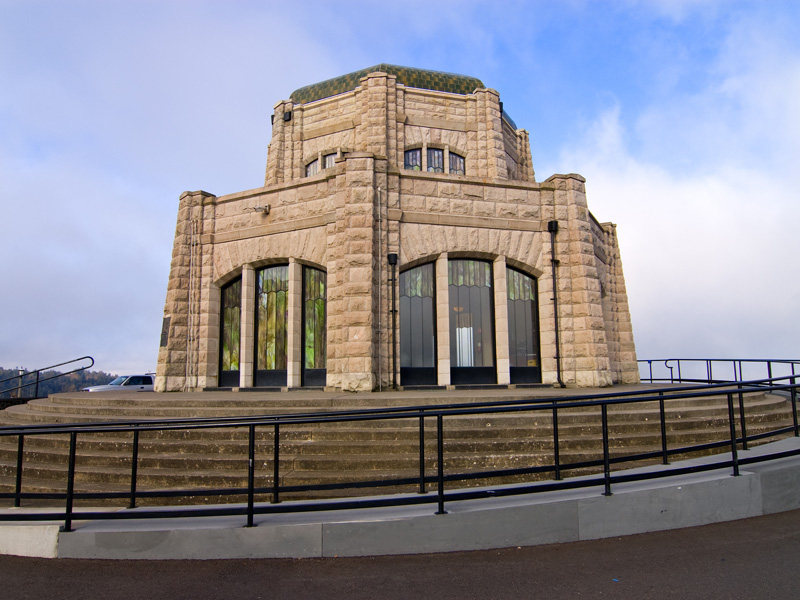
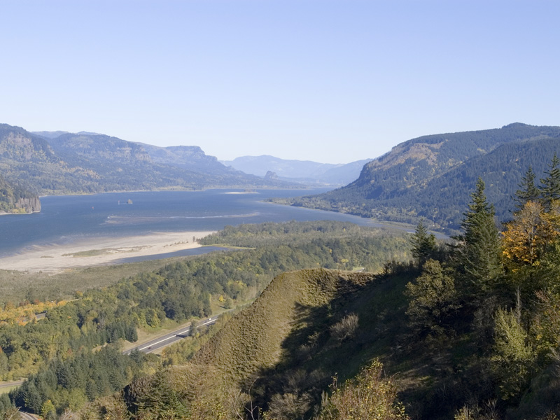
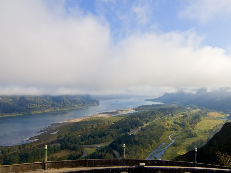
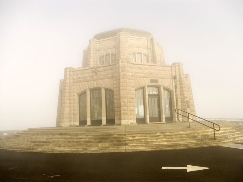
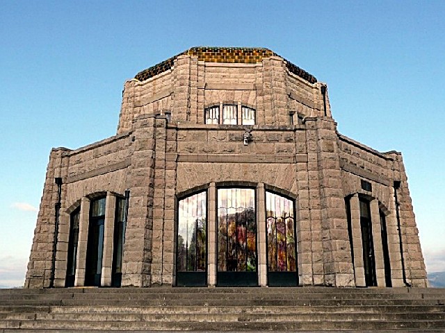
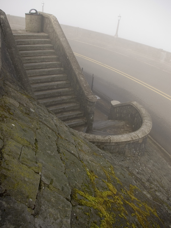
Millions of visitors driving from Portland through the Columbia River Gorge don't realize the full impact of its beauty until they come around the bend near Corbett at exit 22 and see the famous building on the top of the cliff to the right. This is Crown Point and the building is the Vista House.
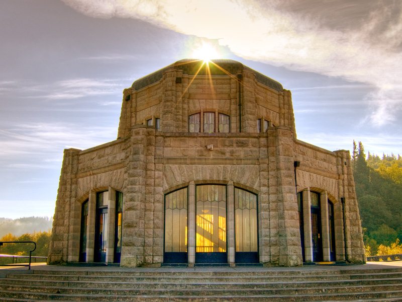
Just as the Statue of Liberty is a symbol of freedom, the Vista House serves as the symbol of the Columbia River Gorge. In fact, the architect of the Vista House -- Edgar Lazarus -- and Emma Lazarus (who wrote the poem of the Statue of Liberty), were brother and sister.
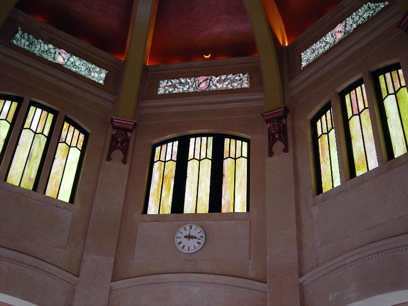
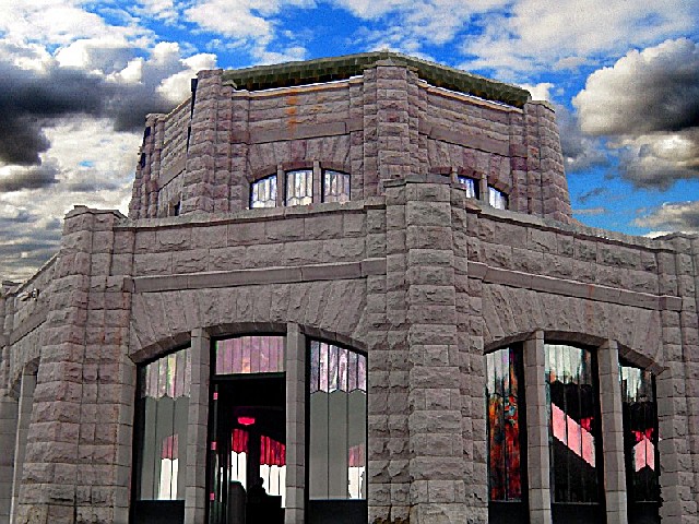
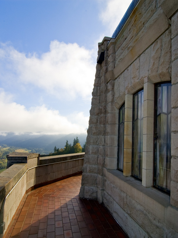
The Vista House was built in 1916 at the same time as Highway 30 (what is now the Historic Columbia River Gorge Highway, and the only way to reach Crown Point). The building was designed to be a place of refreshment and enjoyment of the Columbia Gorge. The popular clifftop viewpoint recently has undergone a $3.2 million restoration to repair and rejuvenate the building's key historic features.
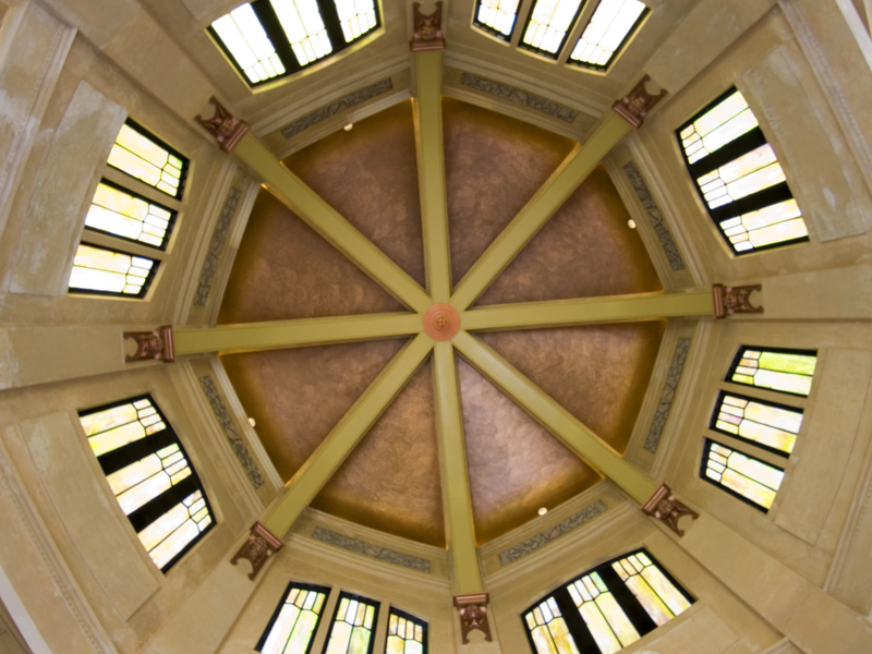
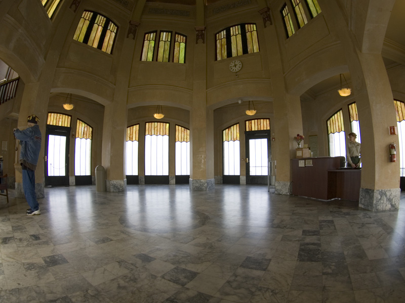
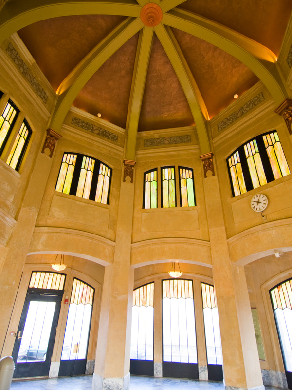
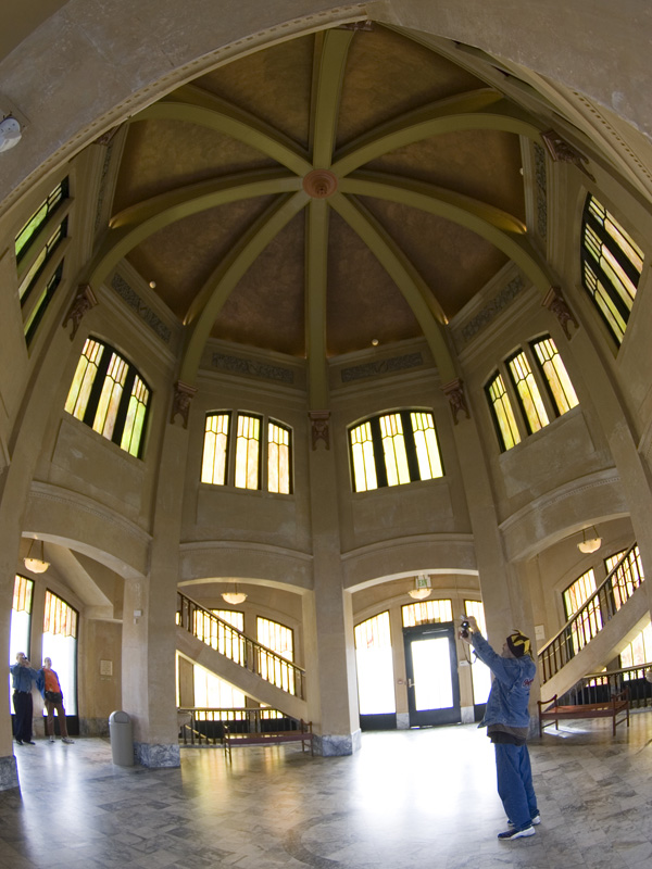
The octagonal building with its copper dome houses a museum, gift shop and interpretive display of historic and geologic points of interest in the Gorge (the building is open from March-October).


 Share Your Crown Point State Scenic Corridor Photos (click here)
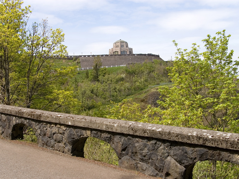