BRIDAL VEIL FALLS
BRIDAL VEIL FALLS 97010
(lat:45.5545 lon:-122.1802)

Bridal Veil Falls State Park is located near milepost 28 on the Historic Columbia River Scenic Highway and is accessed off I-84 at Exit 28.
Travel west on the Historic Columbia River Highway about 3/4 of a mile to the entrance of Bridal Veil Falls State Park. The park offers a nice parking area, picnic tables and restrooms all within easy walking distance from the parking area. Nice grassy areas afford visitors a chance to stretch a blanket in one of the laziest parts of the Columbia River Gorge. No day-use fee is charged; admission is free.
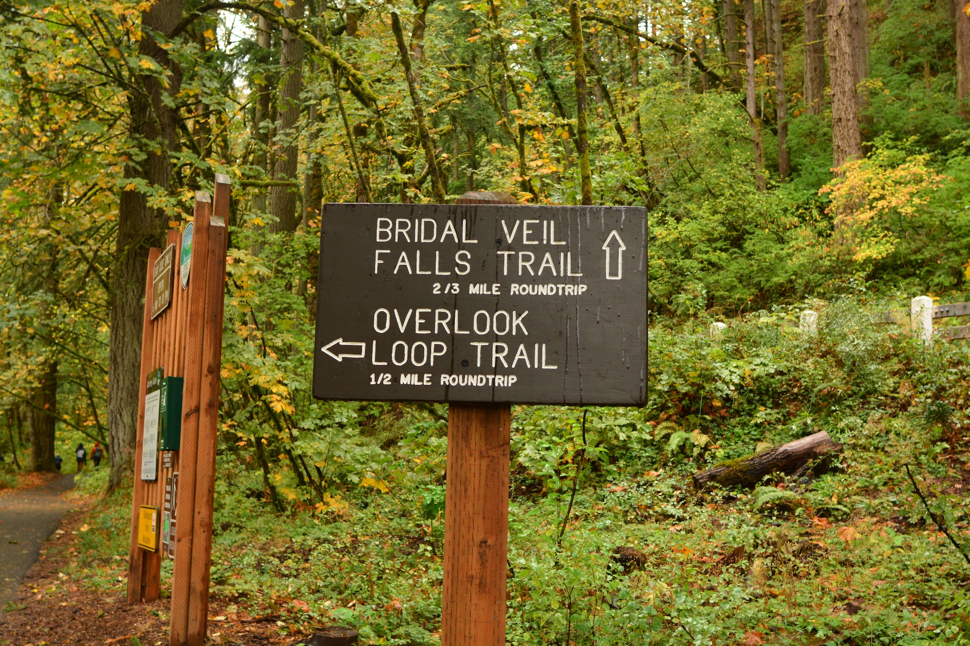
The park is situated in large timber stands; the area was a natural choice as a logging haven once upon a time. The park features two different trails: an upper walking/interpretive trail and a lower hiking trail to the falls (120' tall). Both are not to be missed.
The upper trail takes visitors around the precipice of the cliffs of the Gorge. Sign boards along the trail point out distinctive native wild plants that grow abundantly in this area such as camas, lupine, bead lilly, trillium and bleeding heart. The trail is fenced beautifully with logged beams and wire to protect visitors along the viewpoint while maximizing every vantage point of the magnificent view of the Gorge. The famous geologic edifice known as the Pillars of Hercules, a 120-foot basalt tower once used as a training site for mountain climbing, can be seen best from the upper trail at Bridal Veil.
The lower trail at Bridal Veil takes the visitor downhill to the base of Bridal Veil Falls and is about a mile round trip to the falls and back. Although short, this is a steep little trail full of switchbacks and is not wheelchair accessible. Along the way are a few unwanted wild plants of this area -- such as poison ivy -- so keep on the path. Do not attempt to walk along the bridge over the Historic Highway to view the falls. The road here is a narrow two-lane passage with absolutely no sidewalk. PLEASE view the falls from the trail.
Beautiful Bridal Veil Falls is an elegant and graceful lady that can be fully appreciated from the deck of a viewing platform rebuilt in 1996. The creek hustles down from the top of nearby Larch Mountain, tumbles over the cliff and eventually flows into the mighty Columbia River. No visit to the Columbia Gorge should be considered complete without a tour of the area of Bridal Veil and a visit to Bridal Veil Falls State Park.


 Share Your Bridal Veil Falls Photos (click here)
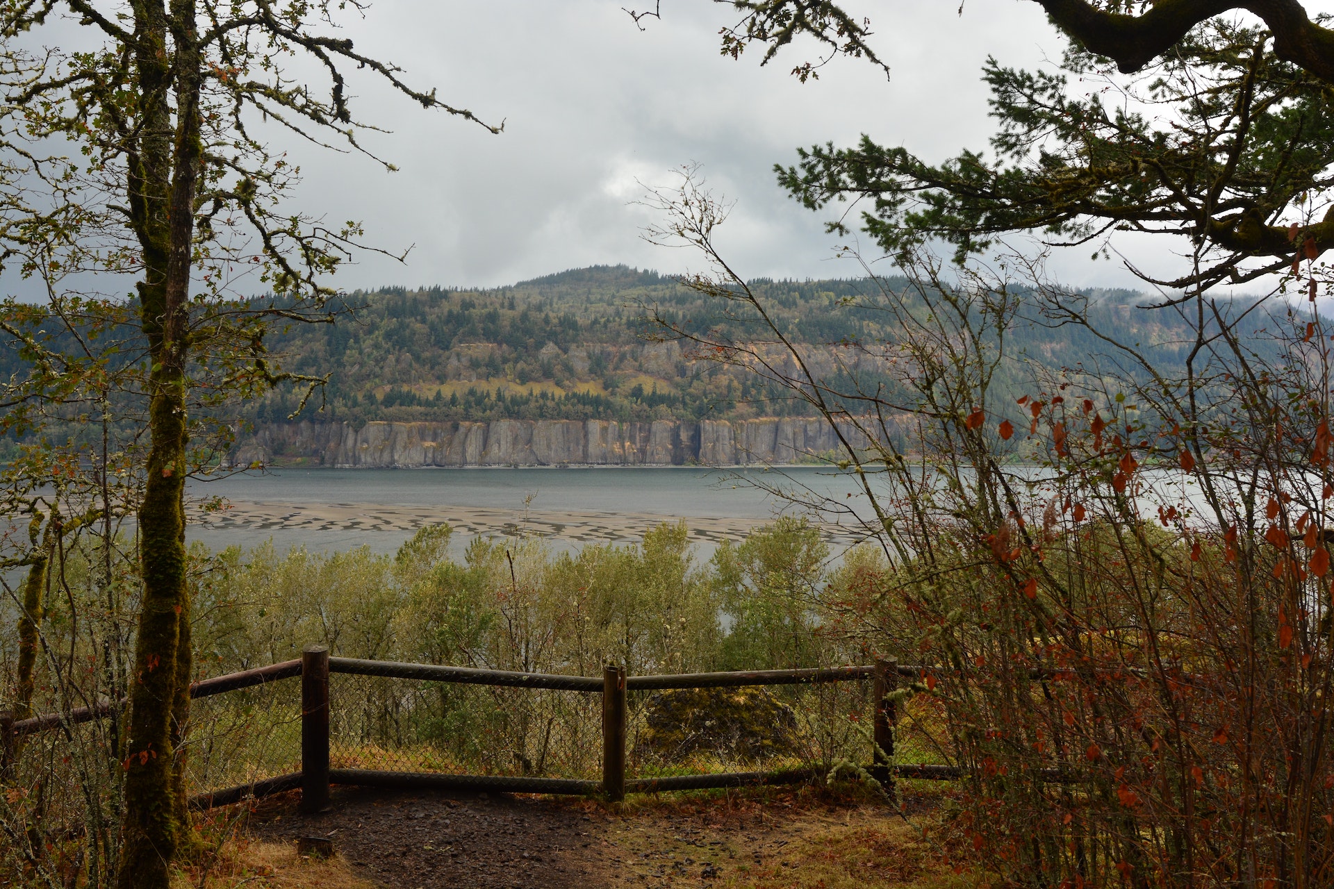