YELLOWWOOD STATE FOREST
Yellowwood State Forest was created in 1940 when federal land was leased to the State of Indiana. Theland was deeded to the state in 1956. Prior to that time, the Civilian Conservation Corps and WorksProject Administration completed three lakes, a shelterhouse and a residence, all presently in use. Othersuch buildings were sawn from the forest in kit form and shipped to other public properties.
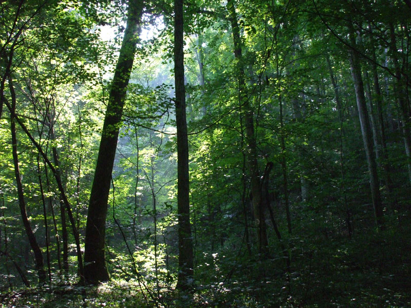
Over 2,000 abandonded and eroded acres were planted to pine (red, jack, shortleaf, white and scotch), black locust, black walnut, white and red oak. Red and white pines are the true northern pines and are still in good condition. The other pines are succumbing to insects, disease and extremely cold winters.
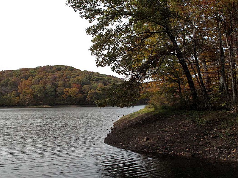
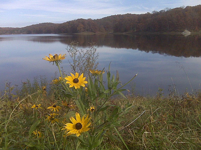
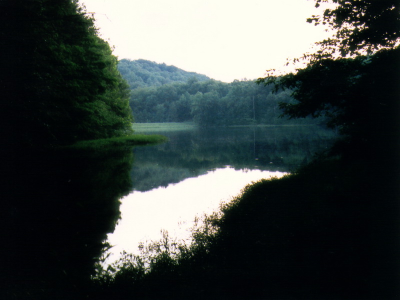
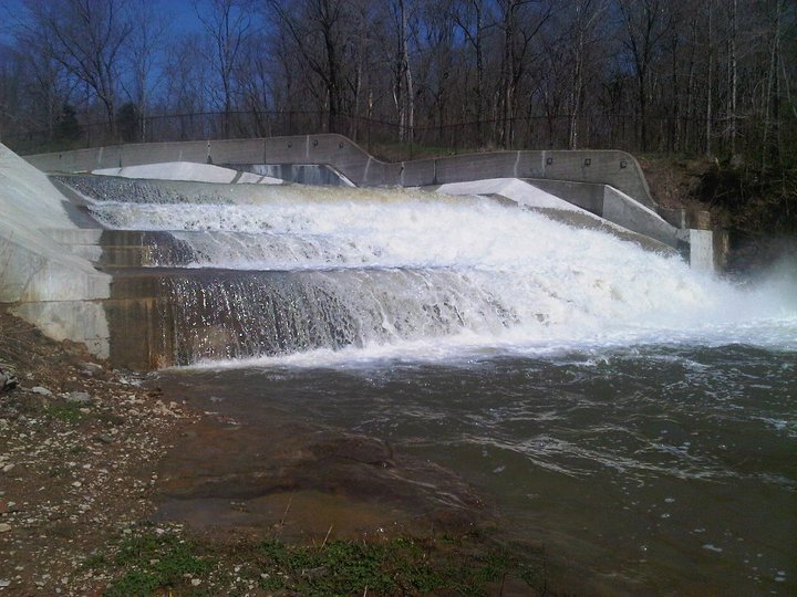
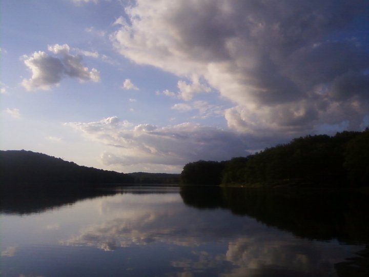
Yellowwood Lake was completed in 1939. The 133-acre lake is about 30 feet deep.
Yellowwood State Forest, along with several other state properties, has gained parcels of landthrough the Indiana Heritage Trust Program. In 1994, 30 acres slated for the construction of aradio tower were purchased and became part of Yellowwood State Forest. A 36-acreinholding adjoing a nature preserve was purchased and added to Yellowwood in 1995.
GeneralLand, acres23,326
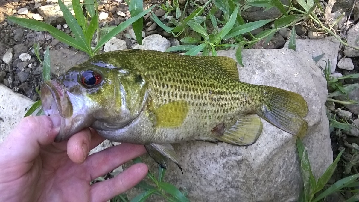
Day-UseFishingyes
Huntingyes
Hiking Trailyes
Picnickingyes
Picnic Shelters, #1
Bridle Trailsyes
BoatingBoat Rentalyes
Boating Limits-1
Launch Rampsyes
CampingPrimitive, #80
Horsemen Campsites, #10
Walk-In Campsitesyes
Primitive (Class C) campsites are centrally located within the forest and around Yellowwood Lake. Seethe fees page for a list of camping fees. There are 80 designated campsites south of the Forest Office anda carry-in tent site area north of the office. Vault toilets and drinking water are available near thecampsites. Two playgrounds are located within the campground area.
A Class C Horsemen's Camp with 10 sites is located south of the primitive campsites, and is convenientto the many miles of horse trails that wander through the forest. Please register for camping at the ForestOffice. Camping reservations are not taken.


 Share Your Yellowwood State Forest Photos (click here)
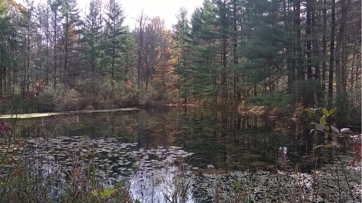