DEVILS HOPYARD STATE PARK
Could the round holes in the falls really be the work of the devil? Or, just nature and water making their mark for future generations? Visit Devil's Hopyard and find your own answer to this age-old mystery.
Geology
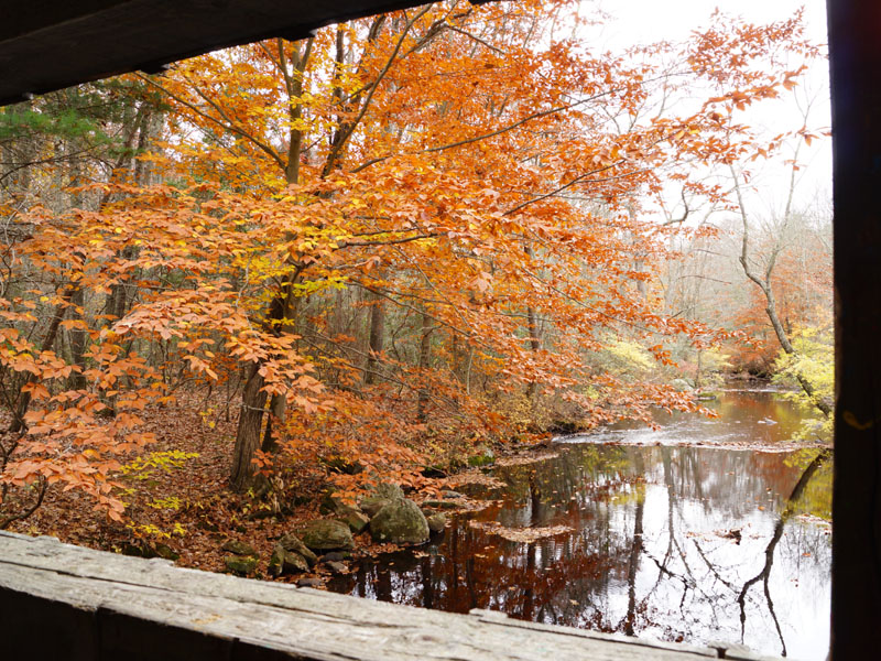
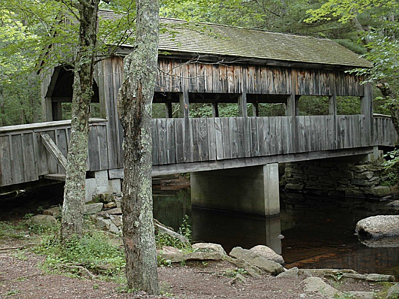
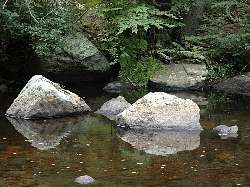
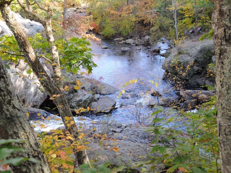
A good example of glacial plucking occurs along the orange trail. After crossing the covered bridge, follow the trail to the right. About 300 feet after entering a grove of hemlocks turn down toward the river and walk between the river and a ledge. The rock here is a gray, medium-grained layered gneiss and schist. Watch for small folds some places in the rocks. Large chunks of rock were broken off here by the glaciers as they froze to the rocks during the winter, and then broke the rock off as they started to move in the summer. Although this is on the east side of the ridge, plucking is a common occurrence on the south ends of hills, which formed many south-facing overhangs. Early Native Americans used these overhangs for shelters, as they were warmed by the lower sun in the winter and protected from the higher sun by the overhang in the summer. Some larger folds can be seen below the dry falls to the east of Chapman Falls. The dry falls are located by taking the orange trail to the left after crossing the covered bridge. A trail branches off of the orange trail to get to the falls. Although no water normally flows over this falls now, from the smoothness of the rocks, it is obvious water used to flow over this area.
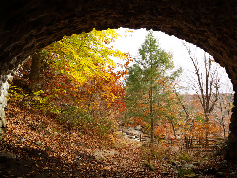
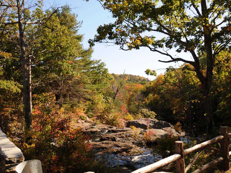
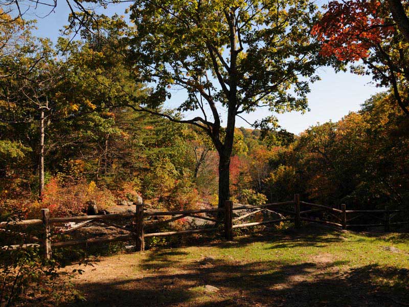
The overlook, reached from a short trail off of the orange trail, gives a spectacular view to the south along the valley. This is one of hundreds of north-south valleys formed all over Connecticut at the time Europe and Africa ran into North America, folding the rocks into north-south ridges perpendicular to the collision direction. This valley has been steepened and widened by the southward movement of glacial ice, giving the valley the characteristic U-shape of a glacially modified valley.
The green trail has nice examples of pegmatite boulders. The pegmatite boulders are spaced approximately 30 feet apart along the trail. Pegmatite is an igneous rock that formed from molten rock buried deep below the surface. Since the molten rock was well insulated beneath the surface of the Earth, it cooled very slowly, allowing the crystals to grow very large.
In addition to pegmatite you will also find schist boulders that are located directly across the trail from the pegmatite. Schist is a type of metamorphic rock that has undergone intense heat, pressure, and hot fluids. By definition, schist contains more than 50% platy and elongate minerals such as mica and amphibole. This high percentage of platy minerals allows schist to be easily split into thin flakes or slabs. Farther down the trail you will encounter a schist outcrop, this outcrop serves as the source for the several schist boulders along the trail. The schist boulders and outcrop contains large amounts of biotite mica, this gives the rocks their dark coloring.
In addition to seeing schist and pegmatite in Devil's Hopyard, you may also encounter gneiss Gneiss is a high grade metamorphic rock subjected to intense heat and pressure during formation. Gneiss is easily identifiable by the segregation of light and dark minerals giving it a banded texture. Gneiss usually consists of mostly elongated and granular, as opposed to platy, minerals. At Devil's Hopyard it is difficult to see the banded layers within the gneiss.
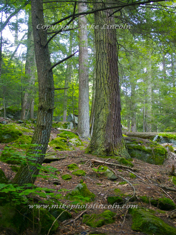
Just west of the Nature Center on Mitchell Road, a trail circles the pond. As you enter the woods, there is a vernal pool on the left. Vernal pools usually dry up during the summer, but you may see water in wetter periods.
Farther down the red and white trail a large boulder on the right has narrow bands of ridges parallel to the ground. These ridges demonstrate differential weathering. The rock is layered and the layers made up of more resistant minerals are weathering slower than the less resistant mineral layers, resulting in parallel ridges. This is a boulder that was moved to this location by a glacier from the north. A blind along the edge of the pond provides a good site for observing pond activities.
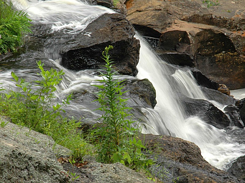
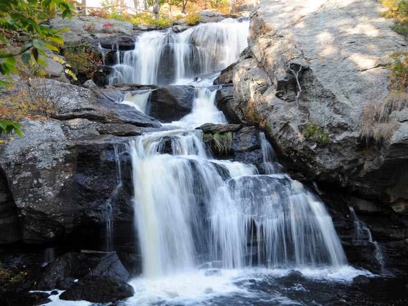
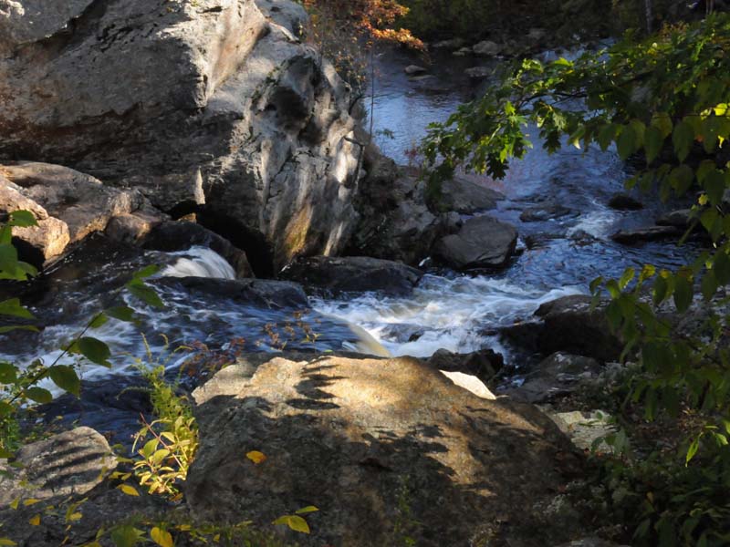
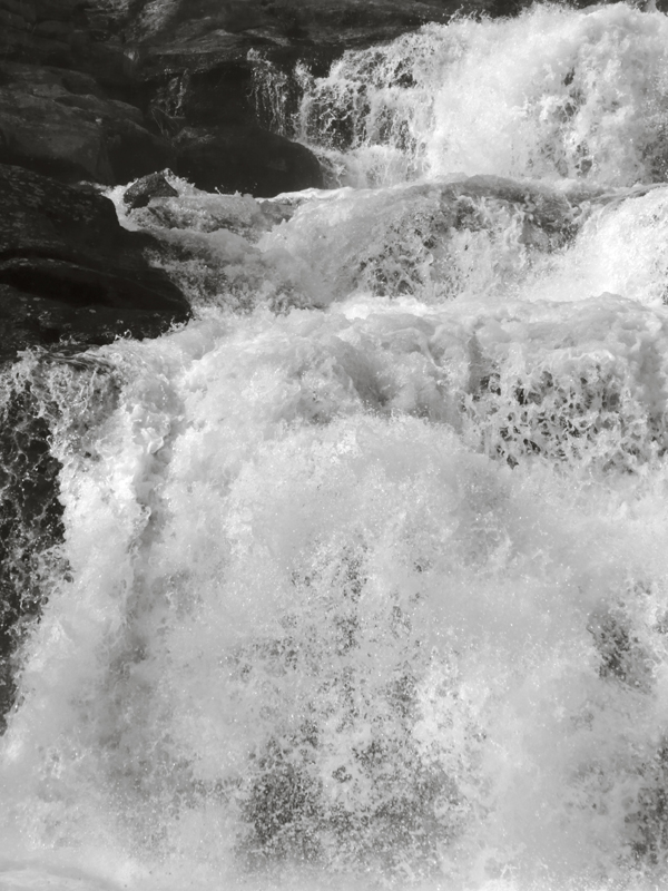
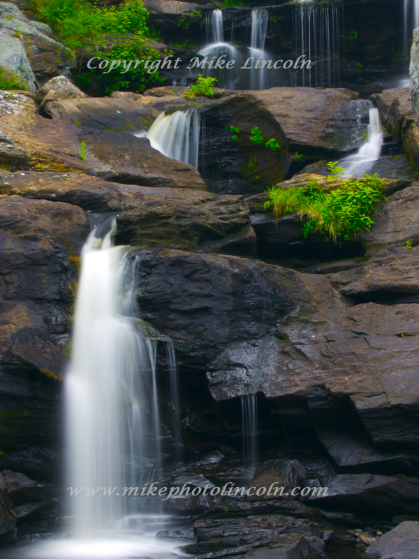
In 1919, the former State Park and Forest Commission obtained an 860 acre parcel located in the Millington section of Haddam. The principle feature of the park, Chapman Falls drops more than sixty feet over a series of steps in a Scotland Schist stone formation. The falls also once powered "Beebe's Mills" which were named after the original owner. The mills operated until the mid 1890's.A search for the origin of the name "Devil's Hopyard" reveals a wide variety of different stories; none of them are verifiable and all are likely to be more fiction than fact. One of the most popular of these stories is about a man named Dibble, who had a garden for growing hops used in the brewing of beer. It seems that through usage, Dibble's Hopyard became Devil's Hopyard. There are records of several farmers having hopyards in the area, but there is no mention of a landowner named Dibble. However, Dibble might have been a tenant.Another tale focuses on the potholes near the falls, which are some of the finest examples of pothole stone formations in this section of the country. Perfectly cylindrical, they range from inches to several feet in diameter and depth. These potholes were formed by stones moved downstream by the current and trapped in an eddy where the stone was spun around and around, wearing a depression in the rock. When the rock wore itself down, another would catch in the same hole and enlarge it. We know this now, but to the early settlers the potholes were a great mystery that they tried to explain with references to the supernatural. They thought that the Devil has passed by the falls, accidentally getting his tail wet. This made him so mad he burned holes in the stones with his hooves as he bounded away.
The park today offers some of the finest birding in the state and fishermen find the clear, cool stream water an excellent source of brook trout.
Connecticut has made state parks, forests, trails, historic sites and beaches more accessible to our residents so they can enjoy the many attractions and beauty they offer. Under the Passport to the Parks program, parking fees are now eliminated at Connecticut State Parks for those with Connecticut registered vehicles. You can view the
CONNECTICUT PASSPORT TO THE PARKS web page to learn more.
Day-UseFishingyes
Hiking Trailyes
Swimming Beachyes
CampingPrimitiveyes
WinterActivitiesyes
Devil's Hopyard Campground offers 21 sites in a wooded setting. Camping is available from mid-April through the end of September 30.
BBs / Inns
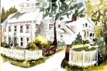
Located along the CT Shoreline midway between New York City and Boston, and only one hour from Hartford, with tons of local attractions both on the Long Island Sound and the Connecticut River.
5.1 miles from park*


 Share Your Devils Hopyard State Park Photos (click here)