CRANE CREEK STATE PARK
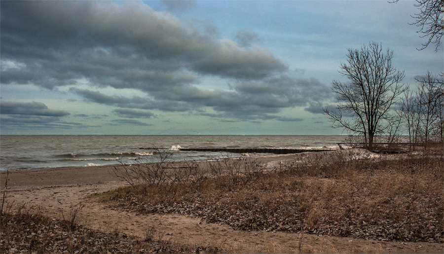
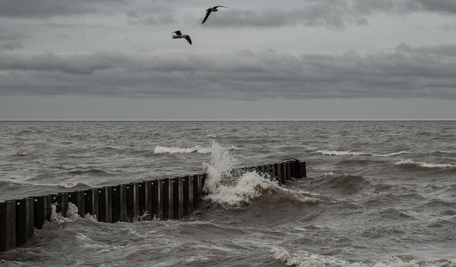
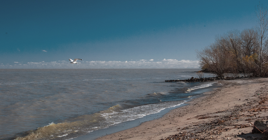
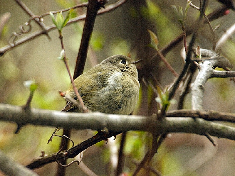
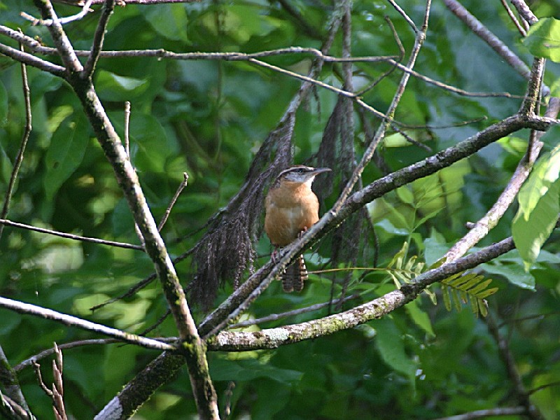
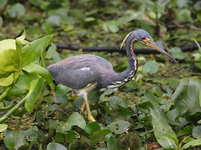
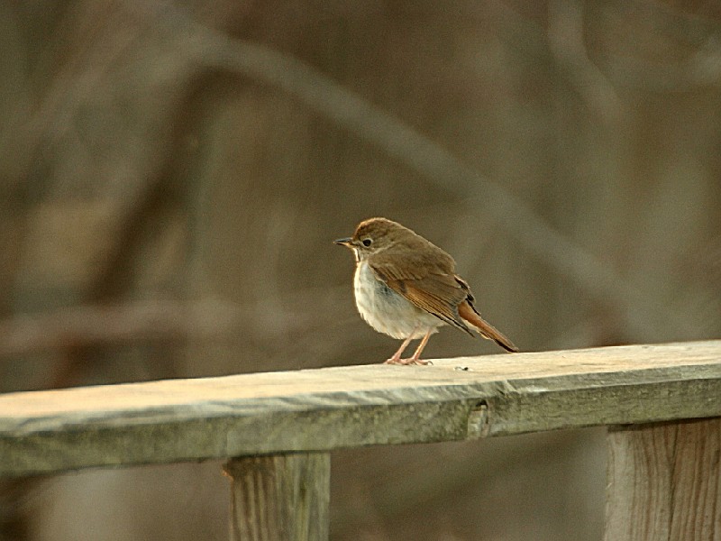
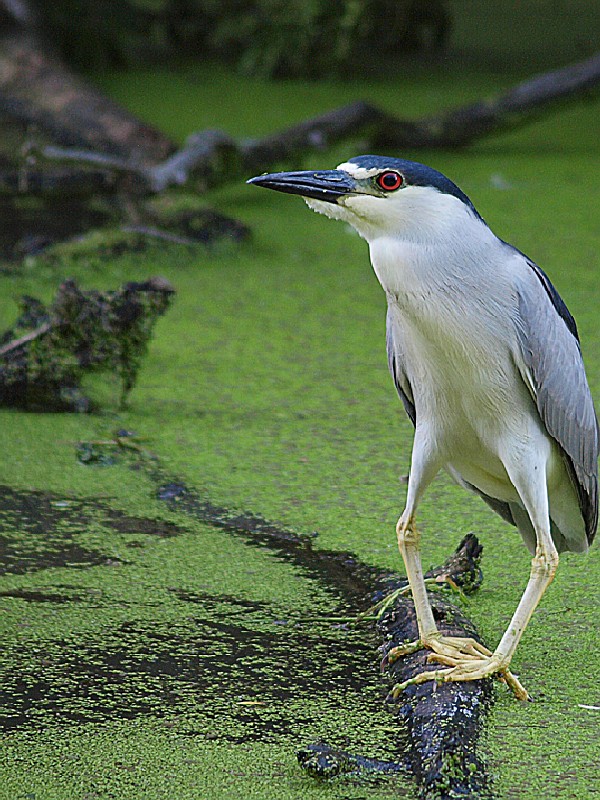
Located on the scenic shore of Lake Erie, Crane Creek State Park offers a vast freshwater marsh and spacious sandy beach for enjoyment. This coastal environment is home to more than 300 species of birds. Herons, waterfowl, warblers, gulls and the magnificent bald eagle make this park one of the best birdwatching areas in the country.
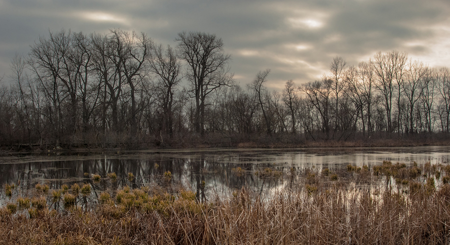
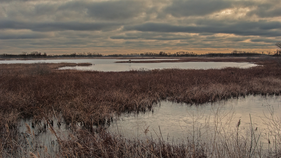
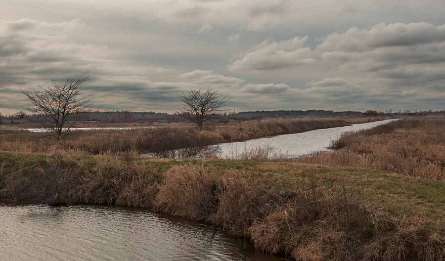
Crane Creek is located along the shores of Lake Erie, one of the largest freshwater bodies in the world. Lake Erie is the result of the massive ice sheets that entered Ohio during the ice age. As the ice melted, the area from Fort Wayne, Indiana to western New York was covered by a large lake. Eventually, the lake shrank in size as waters drained from the state leaving a vast area of swamps and marshes. The wetlands of the Crane Creek area are remnants of those ancient swamps.
These Lake Erie marshes provide food, shelter and nest sites for many species of waterfowl, birds-of-prey, songbirds and others. The bird population grows enormously during spring migration as weary migrants take refuge in the marsh and rest for a time before winging northward across Lake Erie into Canada. Known as one of the premier birdwatching areas in the country, it is not uncommon to observe more than one hundred species in a day's time. Throughout summer, swallows in flight delight the eye, while ducks, geese, coots and egrets are easily sighted in their natural habitat. In the winter, short-eared owls can be seen hunting over the open meadows and marshes. Careful observers may see the elusive bittern or horned grebe.
The Lake Erie shoreline provides one of the last strongholds of the bald eagle in Ohio. Several nesting pairs have been reported recently in the Crane Creek vicinity.
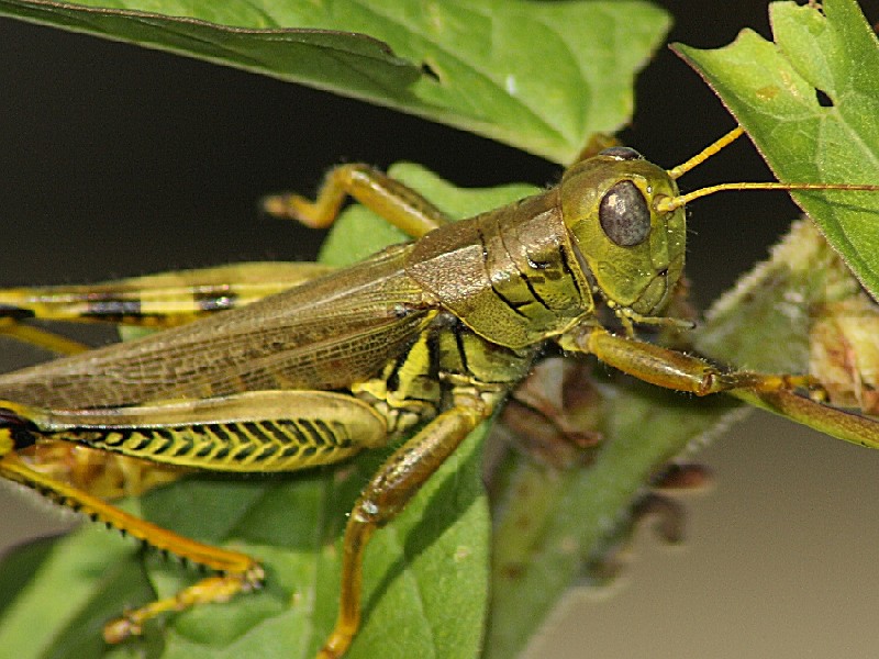
Numerous reptiles, amphibians, mammals, fish and insects inhabit the marshes including the fox snake, northern water snake, painted turtle, green frog, bullfrog, spotted salamander, raccoon, muskrat and a variety of wetland insects.
The Crane Creek area was originally part of the Great Black Swamp, an enormous flat plain 120 miles long and 30 to 40 miles wide. For many years, the swamp was a tremendous barrier to western settlement. In 1859, a law was passed providing for a system of ditches to drain the land. Eventually, after a period of intense lumbering and draining, the swamp nearly vanished as it became a major agricultural area. The area gained fame during the late 1800s as one of the best waterfowl hunting areas in the United States. Most of the land in the area was purchased by wealthy sportsmen, so that by as early as 1890, much of the wetland area was being operated for private shooting. By 1951, the entire 30,000 acres of marshlands along the Lake Erie shore from Toledo to Sandusky was under private club ownership.
In 1951, a total of 650 acres, which included a strip of marshlands and sand beach three miles long, was purchased by the ODNR Division of Parks and Recreation. The purchase was made in collaboration with the ODNR Division of Wildlife which purchased some of the marshlands behind the beach for the purpose of developing a public duck hunting area. A segment of the beach was opened to swimming in 1955.
Today, Crane Creek State Park comprises 79 acres of beach and marshlands adjoining the 2,600-acre Magee Marsh Wildlife Area and Ottawa National Wildlife Refuge. The park's name is borrowed from nearby Crane Creek which flows into Lake Erie just west of the park. Undoubtedly, the creek owes its name to the great blue herons and egrets--often misidentified as cranes--which are abundant in the marsh habitat.
Ohio does not have an annual pass and does not charge entrance fees to state parks.
GeneralLand, acres79
Water, acresGreat Lake
Nearby Wildlife Area, acres2,600
Day-UseFishingyes
Hiking Trail, miles1
Picnickingyes
Picnic Shelters, #1
Swimming Beach, feet3,500
WinterSnowmobilingyes
Ice Fishingyes
A spacious 3,500-foot, sandy beach graces the shore of Lake Erie. Latrines and changing booths are provided.
Lake Erie offers unlimited opportunities for boaters. Marinas near the park offer access to the lake.
Anglers will enjoy catches of walleye, yellow perch, bluegill, crappie, white bass, channel catfish and freshwater drum from Lake Erie, summer or winter. Controlled hunting is permitted on the adjacent Magee Marsh Wildlife Area. Waterfowl hunting is excellent in this area. A valid Ohio hunting and/or fishing license is required. All hunters and fishermen must comply with the rules and regulations established by the ODNR Division of Wildlife.


 Share Your Crane Creek State Park Photos (click here)
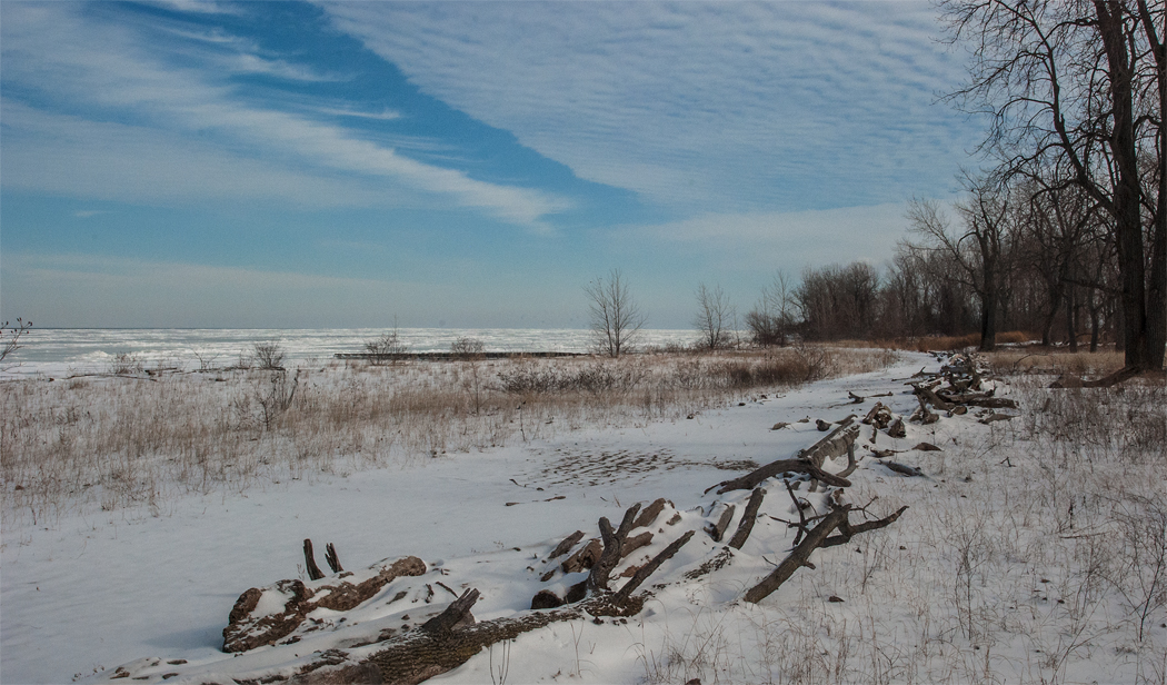