BLACKHAND GORGE STATE NATURE PRESERVE
Blackhand Gorge State Nature Preserve is a 956-acre area that was dedicated as an interpretive nature preserve in 1975. This dedication process ensures that the area's scientific, educational and aesthetic values will be preserved indefinitely for use by all Ohioans.
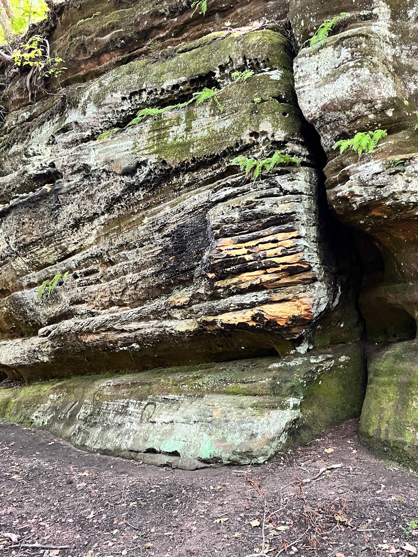
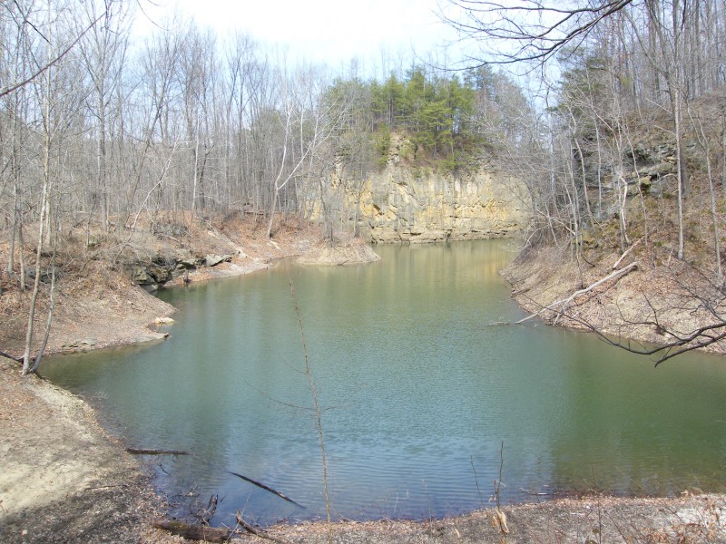
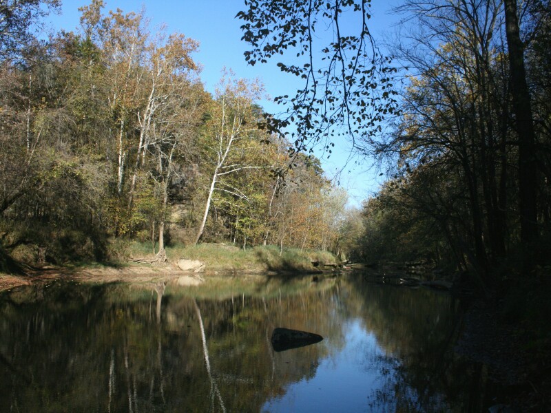
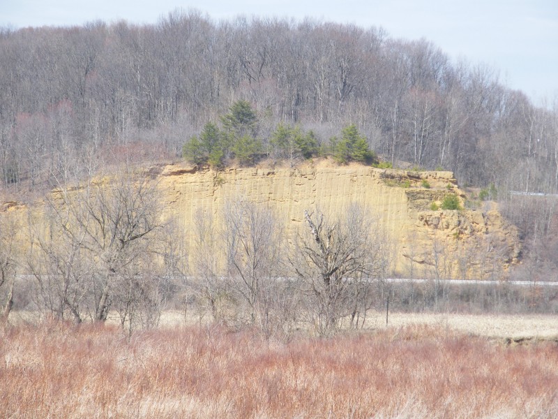
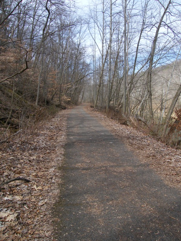
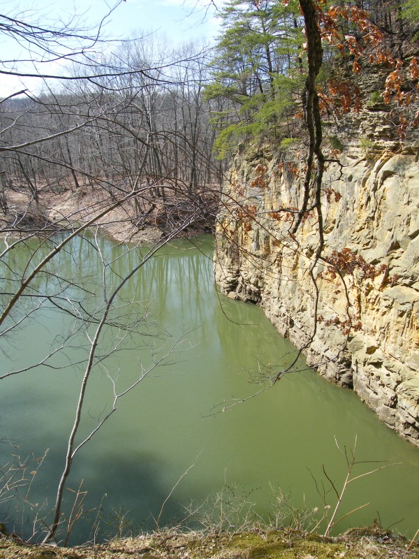
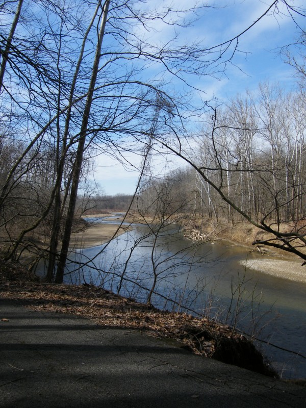
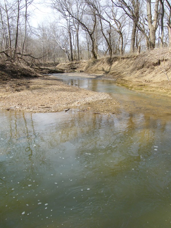
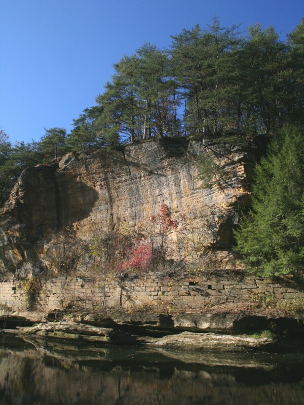
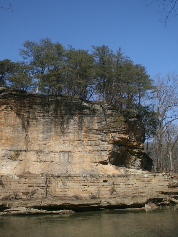
The prime feature of the preserve is a narrow east-west gorge cut by the Licking River through the Black Hand sandstone formation. This cross-bedded, conglomeratic sandstone, well exposed in many places, creates a rugged topography. The dry hilltops are dominated by oak, hickory, Virginia pine and mountain laurel. Mixed hardwoods and a lush spring flora abound on the wooded slopes and ravines. The floodplain is predominantly sycamore, cottonwood box elder.
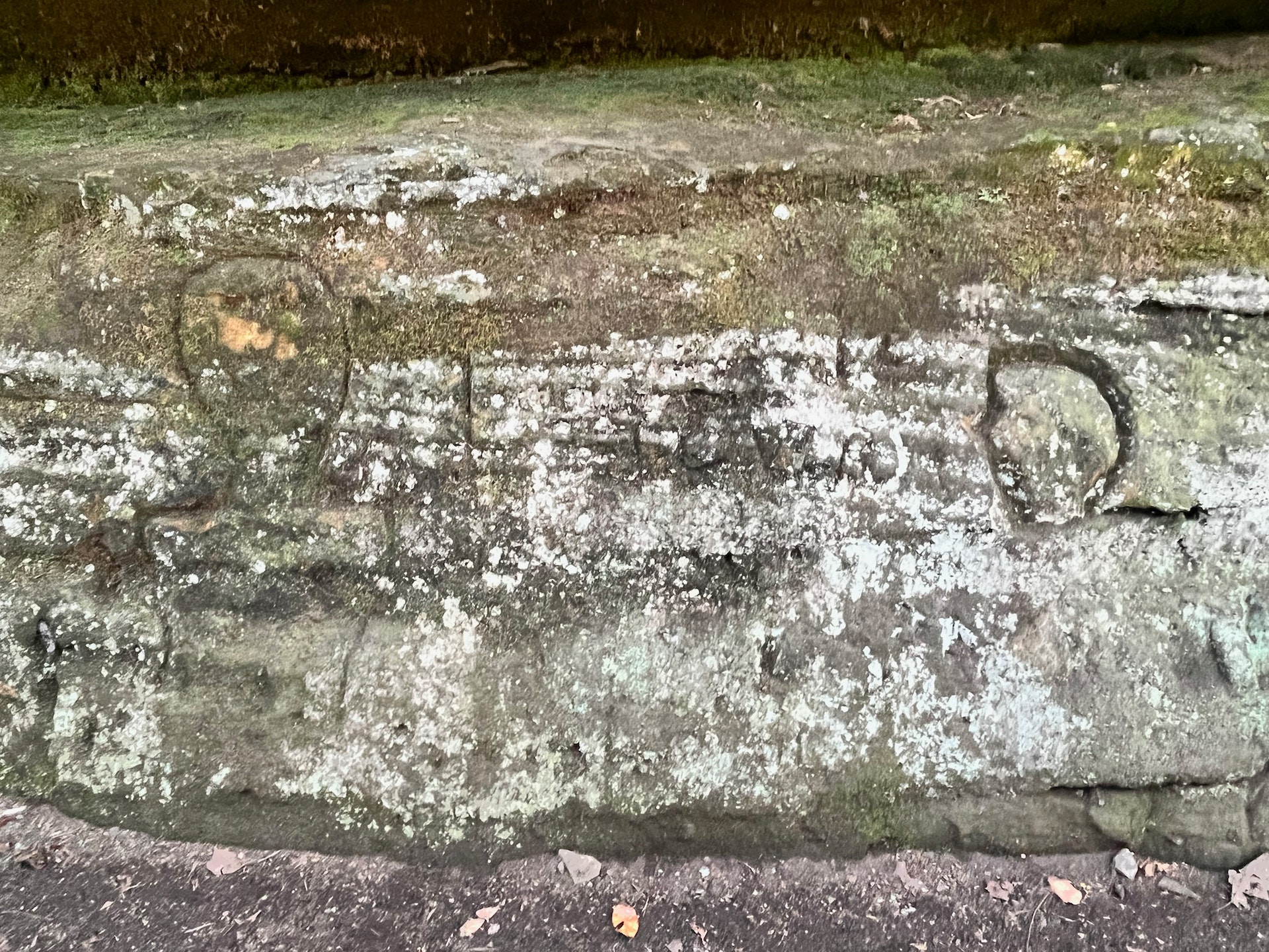
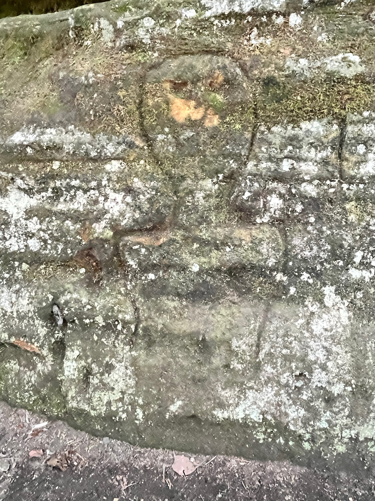
The name Blackhand, for which the preserve is known, originated from a large, dark hand-shaped petroglyph that was engraved on the face of the sandstone cliff. Many Indian legends were passed on to early pioneers about the origin of the black hand. Possibly the most prominent is the one that says it marked the boundary of a sacred Indian territory where no man was to raise his hand against another. The petroglyph was destroyed in the 1820s during the construction of the Ohio-Erie Canal towpath when canal builders blasted the cliff face.
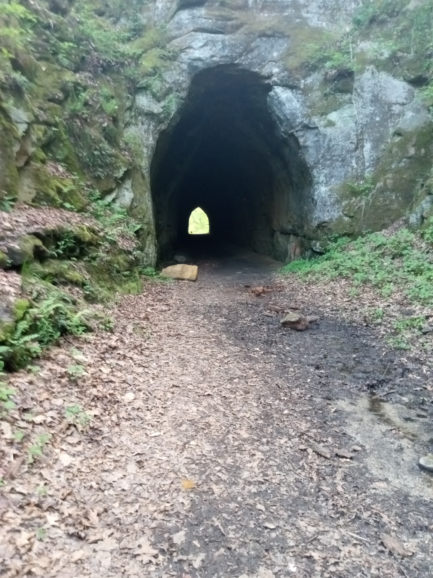
Historically, the area around the gorge was very important to both the modern Indian and the prehistoric Mound Builders. The rich deposits of flint found nearby at Flint Ridge made the Licking River system a strategically important transportation route even before the advance of white settlers.By 1929, the gorge had witnessed the passing of the Ohio-Erie Canal, the steam powered Central Ohio Railroad and the electric CN2 interurban trolley line.
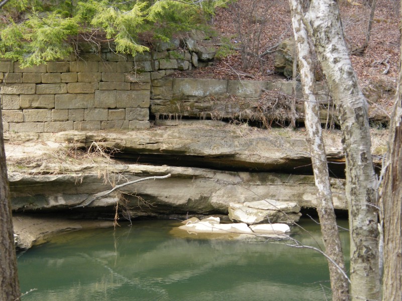
Today the canal boats, trolleys and steam locomotives are gone. A modern railroad has been relocated to higher ground, but the stark remains of old canal locks still dot the preserve.


 Share Your Blackhand Gorge State Nature Preserve Photos (click here)
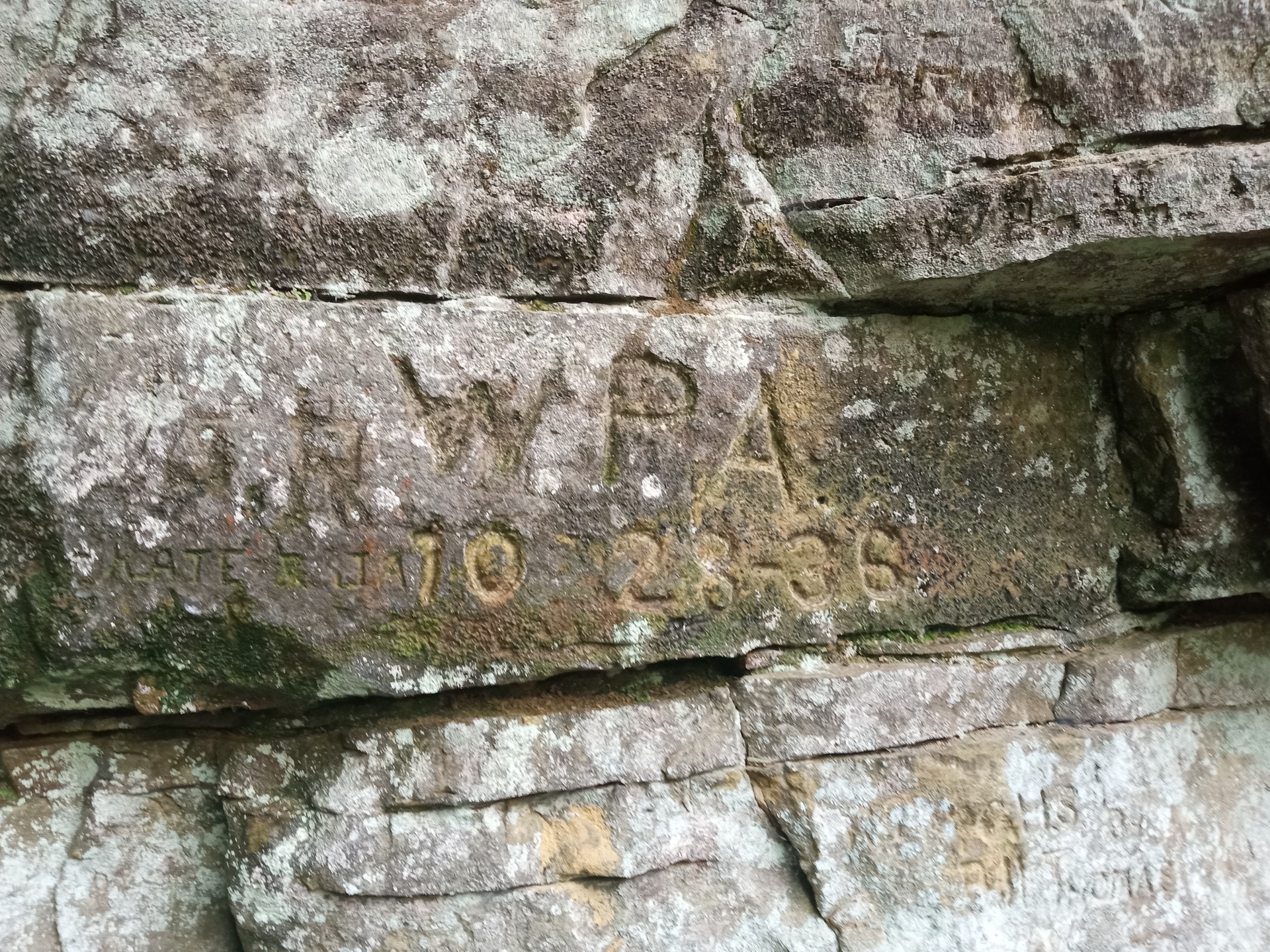