HAYSTACK MOUNTAIN STATE PARK
Travel the twisting mountain road or hike the rugged trail to the top, either way you will be astounded at the beauty of mountain laurel in June and the spectacular colors of foliage in the fall.
A road goes halfway up Haystack Mountain to a parking lot with a trail to the top. You can walk up the road, and then take the trail to the top. There is also a yellow trail that starts near the beginning of the road. This geologic description assumes you walk up the road, take the trail to the top, then walk back down the same trail to the yellow trail that takes you back to the park entrance.
The road is a gentle uphill walk, mostly through forest with nice views of a pond. After you walk around the pond, look for a tumble of rocks on the left. Although the rocks appear light-colored from a distance, they are actually fine-grained, black and white banded gneiss, with lichens covering most of the exposed surfaces.
This outcrop probably consists of glacially plucked rocks. Even when ice covered all of Connecticut, some ice melting occurred, especially in summer. The water worked its way down through ice fractures to the rocks below and into cracks in the rock. There it froze, expanding the cracks. As the ice moved, it was able to pull away these loosened blocks, leaving them strung down the hillside when the ice later melted.
up the road there is a similar outcrop of the same gneiss. A different rock appears at the end of the road, at the top of where the trail begins.This rock is very coarse-grained, and light in color. It is pegmatite, an igneous rock. It was once melted, then cooled so slowly that large grains were able to grow it. At lease don't try to climb this outcrop because the rocks are very unstable.
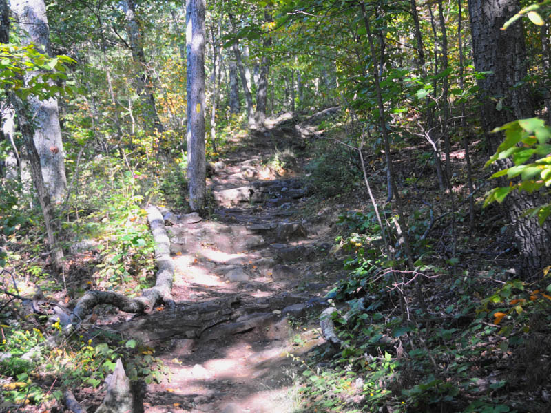
Walking along the trail, you will soon come to a smooth outcrop that crosses the trail (Figure 4). Glaciers probably polished this rock smooth. As the ice moved over it, fine rock material at the bottom of the ice continually rubbed across it like giant sandpaper, giving it the polish you now see. Continuing on toward the top of the mountain, you will pass an outcrop of black and white gneiss dipping steeply into the hillside. Although this rock is a gneiss, the same type you have been passing, it does not have obvious banding.
Farther along, look for a well-banded black and white gneiss in the trail.
Near the top of the trail, after the steps, notice a steeply dipping outcrop on the right. Although difficult to see because of the lichens, this thinly banded black and white rock is amphibolite gneiss. The black mineral grains are hornblende, a member of the group of minerals called amphiboles.
Although the hornblende seems black, it is actually very dark green (Figure 6).
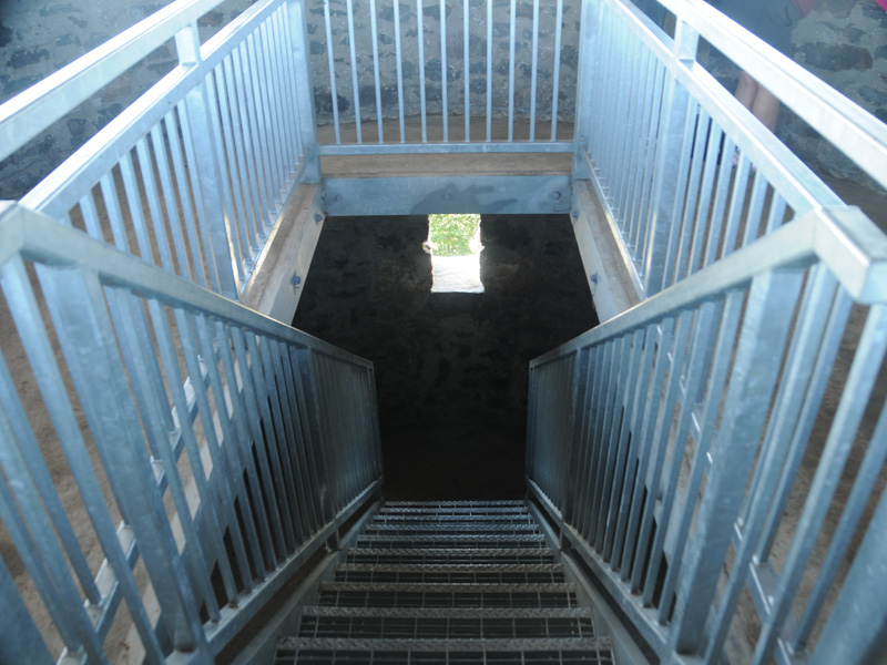
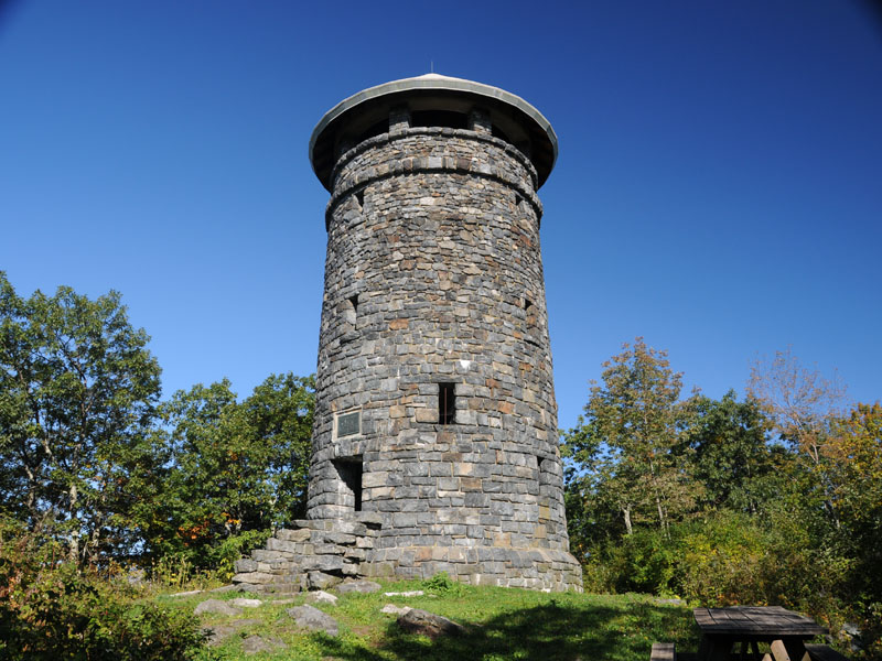
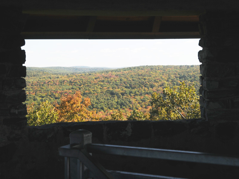
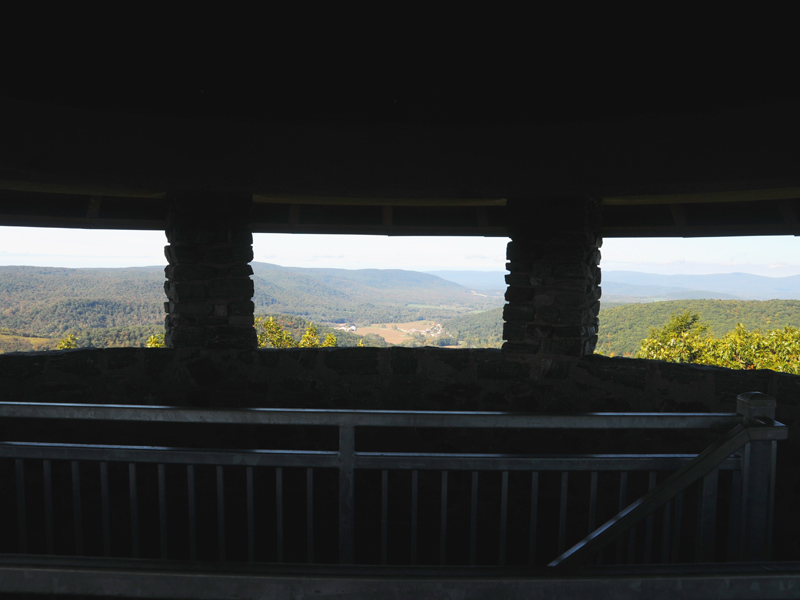
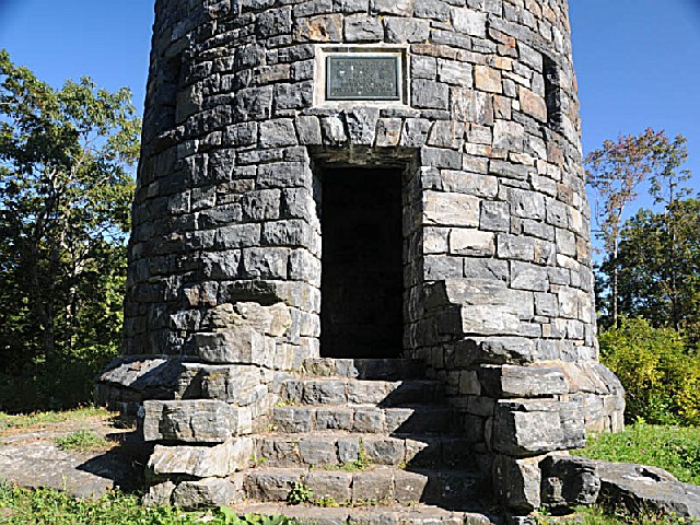
Congratulations, you have now reached the top of Haystack Mountain! The tower in the clearing was made out of local gneiss. Notice how obvious the black and white banding is, when only a few lichens cover it.For an incredible view in all directions, climb the tower. It is not really as high as it looks. From the top, on a clear day, you can see into Massachusetts and New York states. After enjoying the views, head back down the trail. When you reach the yellow trail, follow it back to the beginning of the road. Do not go this way if you parked at the end of the road halfway up the mountain, because the yellow trail takes you back to the park entrance.
Look for a boulder on the right made of schist, a rock very rich in micas that flake off easily. This boulder has red and orange stained quartz layers in it.Another trail leads northwest from the road, at the northwest end of the pond, near the water spigot. The map shows the trail with no blaze, but there were new, yellow blazes on the trail in August, 2004.
This is a pleasant, wooded trail with only a few outcrops. The first one on the left, uphill from the trail, consists of dark gray, fine-grained banded gneiss. Lichens cover most of the rock, but the banding is visible in a few places. The bedrock along this trail is made of the same type of rock. A short, side trail off the main trail goes over a smoothed surface of such gneiss.
The 34 foot high stone tower at the summit of Haystack Mountain (1716 feet above sea level) allows visitors to see Long Island Sound, the Berkshires, and peaks in Massachusetts and New York.
A roadway provides access halfway up the mountain. Prominent along the road is a spectacle of foliage in the fall and an outstanding show of mountain laurel in June. From the end of the road there is a rugged half-mile trail to the top. Allow about half an hour for this walk if you are not a seasoned hiker.
Connecticut has made state parks, forests, trails, historic sites and beaches more accessible to our residents so they can enjoy the many attractions and beauty they offer. Under the Passport to the Parks program, parking fees are now eliminated at Connecticut State Parks for those with Connecticut registered vehicles. You can view the
CONNECTICUT PASSPORT TO THE PARKS web page to learn more.


 Share Your Haystack Mountain State Park Photos (click here)