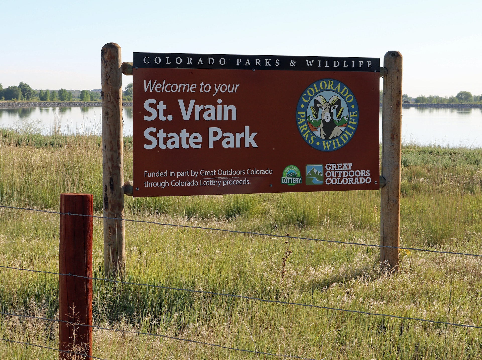
ST. VRAIN STATE PARK
St. Vrain State Park is a family-friendly destination for visitors seeking a peaceful and simple outdoor break. Its an easy drive from Denver or Fort Collins, located on Highway 119 just off I-25 Exit 240.
Formerly named Barbour Ponds, this nature and people-friendly park offers 604 acres of land and 152 acres of water split among several ponds. Its a great place for anglers, campers, photographers, birders, walkers and anyone who loves nature.
Since 2006, Colorado State Parks added amenities like modern camping facilities, trail additions and fishing piers, with many more improvements on the way.
All Colorado State Parks have entrance fees. All vehicles are required to have an entrance pass and some parks have walk-in fees. Visit the
Colorado Park Entrance Pass web page.
St. Vrain contains a total of 87 campsites in eight campgrounds located on or near the banks of seven ponds at the east end of the park. Your campsite will be an easy walk away from fishing, kayaking, or simply birdwatching on the trails that circle the ponds.


 Share Your St. Vrain State Park Photos (click here)
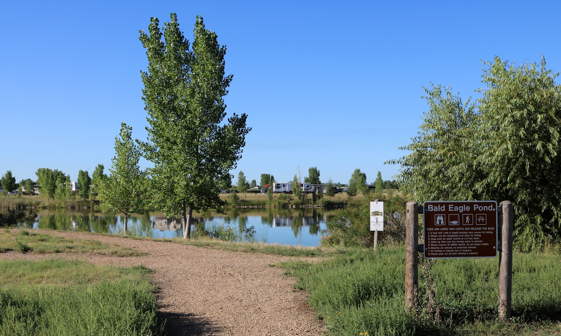