MUSTANG ISLAND STATE PARK
Mustang Island was named for the wild horses that roamed the island for hundreds of years. No one is sure how the mustangs got here. Spaniards might have brought them, or perhaps they swam from a shipwreck.
In the 19th century, ranches began infringing on the mustangs habitat. By the late 1800s, the herds of wild mustangs had disappeared from the island.
Mustang Island is 18 miles long and varies from only 3,000 feet wide on the south end to just over two miles wide on the north end. It is part of a chain of barrier islands which run along the Texas Gulf Coast. Barrier islands protect the bays and the mainland from the waves, wind, tides and storms of the Gulf of Mexico.
How were these islands formed Around 18,000 years ago, as the most recent ice age waned, the sea level was lower than it is now. Rivers carried sand and soil to the gulf, creating sandbars.
Over time, the sea level rose, and the ocean currents carried sand from those sandbars in toward the present-day shore. The sand built up, eventually forming the long, skinny barrier islands about 2,500 years ago. These islands are almost entirely made of sand.
Barrier islands are dynamic landforms. This means that they continue to change, sculpted by climate, wind, waves, tides, ocean currents and storms. Humans have altered the islands, too.
The coastal sand dunes are the first line of defense to help the barrier islands protect the bay and mainland. The dunes reduce the might of hurricane-driven waves.
Sand dunes along the gulf can rise 30 feet or more, though the average is 15 to 20 feet. The back side of the dunes is somewhat sheltered from the wind and salt spray. Tenacious vines and deep-rooted coastal grasses can gain footholds there and help stabilize dunes.
These huge dunes are quite delicate. Strong storms can wash the sand away strong winds can blow the sand away. Walking and driving on dunes can damage them, also. Damage done in one day can take years to heal.
Karankawa Indians were the earliest known inhabitants of Mustang Island. Fish and shellfish, small game and local plants kept them healthy and well-fed year-round.
French explorer Jean Beranger came to the island in the early 1700s while scouting for a colony site. He was the first to record seeing Karankawa here.
Alonso lvarez de Pineda first mapped this section of the Gulf Coast in 1519.
In 1747, Captain Joaqun de Orobio y Basterra landed here and trekked overland to a bay that he named San Miguel Arcangel. That bay was renamed Corpus Christi by Diego Ortiz Parrilla, who explored the coast in 1756.
Settlers began farming and running cattle, sheep and hogs on the island in the mid-1840s. The island was hard to get to and didnt have much drinkable water, so few people settled here.
A small fort built on the island during the Mexican War 1846-48 guarded the entrance to Aransas Bay. During the Civil War, the Union Navy blockaded the coastal area, but no major battles occurred here.
TPWD bought 3,954 acres on Mustang Island in 1972 from private owners. The park opened in 1979.
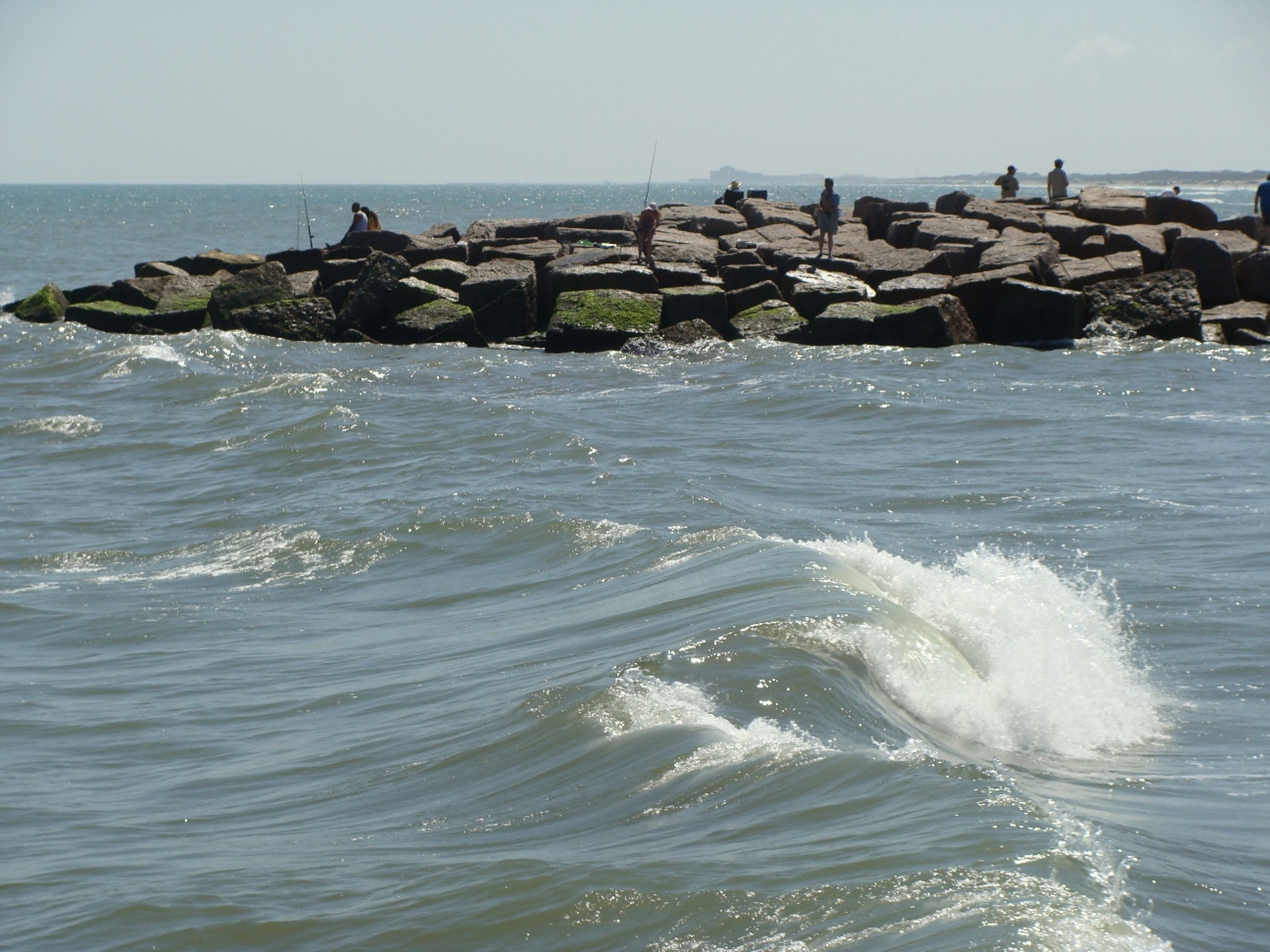
The unique and fragile barrier island ecosystem is protected within the parks borders. The park offers visitors outdoor recreation and programs on the nature and history of the area.


 Share Your Mustang Island State Park Photos (click here)
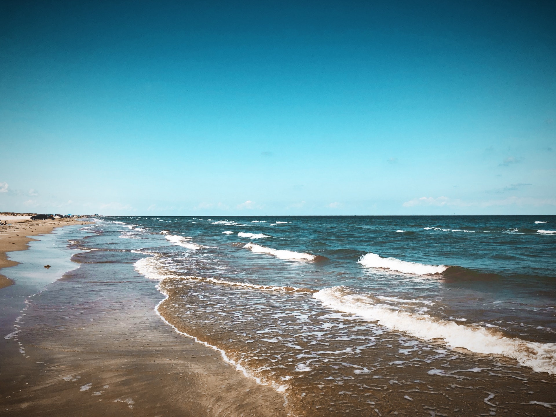