INDEPENDENCE DAM STATE PARK
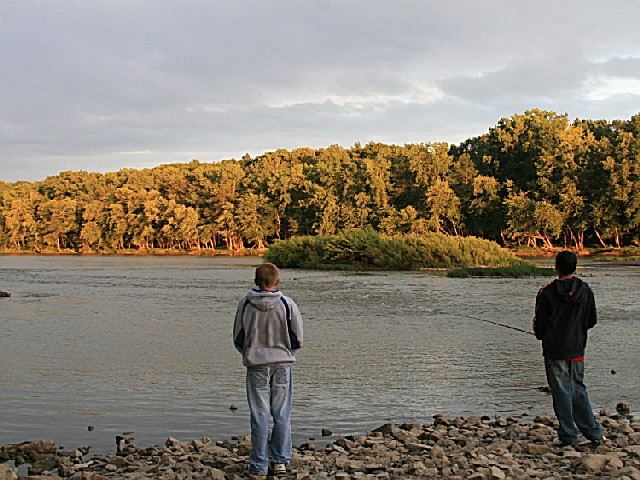
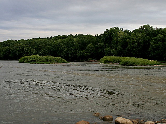
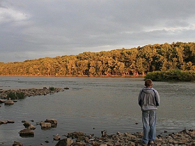
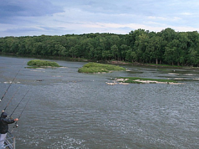
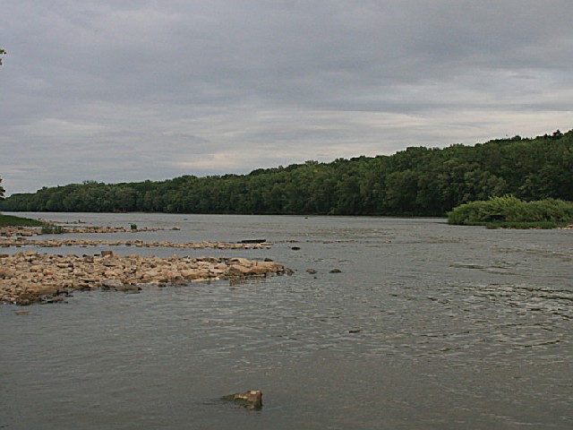
Independence Dam State Park is situated along the banks of the beautiful Maumee River. The river is ideal for boating, fishing or a scenic canoe trip. The park offers the perfect setting for a picnic or overnight camping experience.
The Maumee Valley is but a mere shadow of what it used to be prior to settlement. This area was in the midst of the Great Black Swamp which was 120 miles long and 30 to 40 miles wide. This heavily forested area was an extension of the immense forest that covered 95% of Ohio. This great forest contained huge sycamores often used for temporary barns or even homes when they became hollow. Towering oaks and giant tulip trees became intermixed with walnut trees--some over six feet in diameter.
As vast as this mighty forest once was, nearly every tree had been cut in less than 100 years after settlement of Ohio began. Settlers cut, sawed, burned and girdled most of the 24 million acres of woodlands leaving only four million by 1883. The MaumeeValley in the Great Black Swamp was the last stronghold of Ohio's great forest. The boggy soil made passage into the area nearlyimpossible until a great system of ditches and drains were installed between 1859 and 1875 to drain the swamp.
During that time period nearly 2.5 million acres of the Maumee Valley were cleared. By 1885, the region looked much as it does today--endless farm fields dotted here and there with small woodlots. The Maumee Valley today supports only six percent of the land in forest cover. Fortunately, much of that forest cover lies along the banks of the Maumee River. It is still possible to see great sycamores, black locusts, beech and maple trees lining the river through the park. The river is very scenic and is the largest in northwest Ohio. In fact, it is the second largest stream flowing into Lake Erie with 4,700 cubic feet per second. The river's banks support an abundance of woodland wildflowers including jewelweed, violets and spring beauties.
Songbirds such as the scarlet tanager, Louisiana water thrush and yellow-throated warbler enjoy the wooded canopy draping the river. The fox squirrel, raccoon, skunk and woodchuck find the riparian habitat suitable.
The natural confluence of the Maumee and Auglaize rivers, upstream from Independence Dam State Park, was a significant contributing factor for the development of northwestern Ohio. The waters of these two great rivers were a source of life for Indianand frontiersmen alike. Today, the rivers are a valuable natural resource for both industry and recreation.
This was a rich hunting and fishing area for the American Indian. Tribes residing in the dense hardwood forests included the Hopewell, Erie, Iroquois, Miami, Shawnee, Wyandot, Delaware and Ottawa. The most famous Indian of this area was Pontiac, an Ottawa chief. It is believed he was born near the junction of the two rivers in 1712. He is remembered for the infamous "Pontiac's Conspiracy," a rebellion of Indian tribes against trade policies in 1763.
Blue Jacket, a great Shawnee war chief, made his home near the banks of these same rivers in the late 1700s. In 1793, a "Grand Indian Council," the greatest assembly of tribal representatives on the North American Continent, was also held here. The council convened with the determination to stop the American westward expansion.
At this time, President Washington decided that Indian power needed to be reduced. President Washington chose General Anthony Wayne to lead forces into the northwest. General Wayne's victory in the carefully planned battle, opened the territory to a great wave of settlers.
Homesteaders came on horseback, on foot and in ox-drawn wagons, moving north along the wilderness trails. State Route 424 now follows the narrow military trail used by General Wayne.
In later years, the canals had a great influence on this area. The Miami and Erie Canal, which traveled north from Cincinnati, merged with the Wabash and Erie Canal just south of Defiance. The two canals then proceeded via a common trunk to Maumee Bay. Large cities sprang up along the canals and developed into important trade and industrial centers. The use of the canals began to decline in the 1860s due to the railroads. A flood in 1913 destroyed much of the canal. Today, one can trace seven unbroken miles of the historic canal between St. Rt. 424 and the park. The main entrance road to the park crosses over the ruins of Lock Number Thirteen.
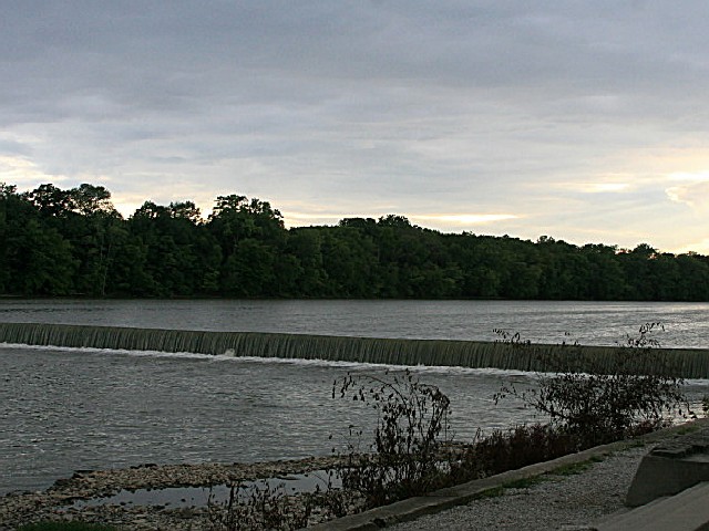
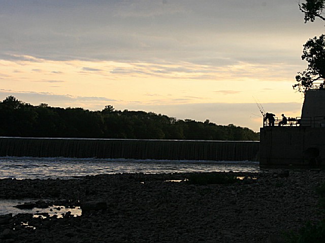
The existing dam on the Maumee River was completed in 1924. This cement dam replaced the original wooden dam which was built in the 1800s for the canal system.
At the time of the rebuilding of the structure, several organizations expressed support for a park between the old canal bed and the river. The Ohio Department of Public Works purchased private lands creating the park. In 1949, Independence Dam State Park came under the administrative authority of the newly created Ohio Department of Natural Resources.
Ohio does not have an annual pass and does not charge entrance fees to state parks.
GeneralLand, acres591
Water, acres-11
Day-UseFishingyes
Hiking Trail, miles3
Picnickingyes
Picnic Shelters, #2
BoatingBoating LimitsUnlimited HP
Launch Ramps, #1
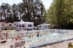
CampingPrimitive, #40
Pets Permittedyes
WinterSleddingyes
Cross-Country Skiingyes
Ice Skatingyes
Forty non-electric campsites are suitable for tents and trailers. The campground offers drinking water, pit latrines, tables and fire rings. Camping with pets is permitted. A dump station is located by the marina.


 Share Your Independence Dam State Park Photos (click here)