GORGES STATE PARK
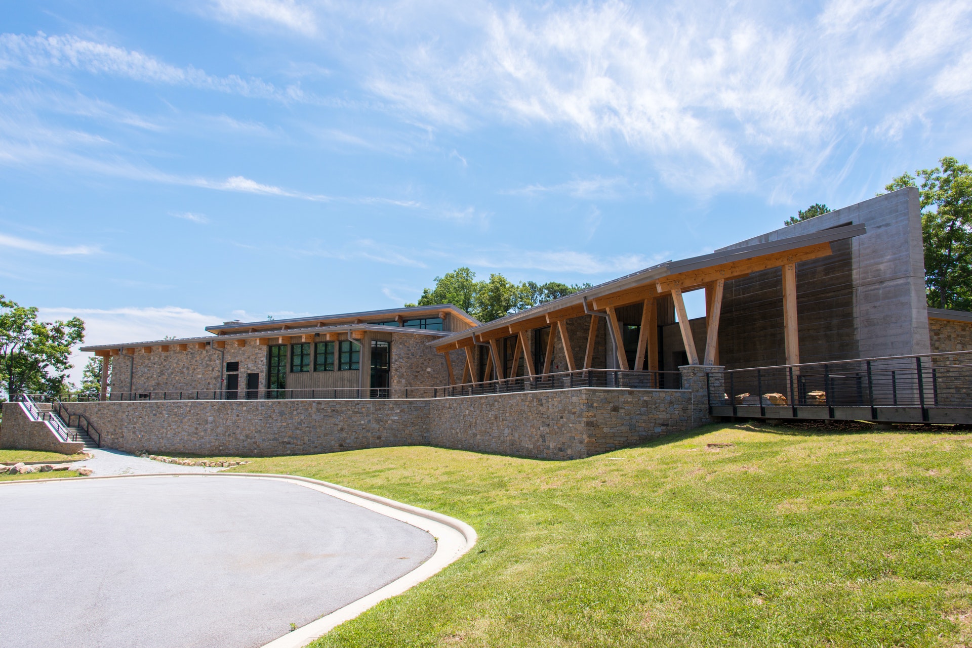
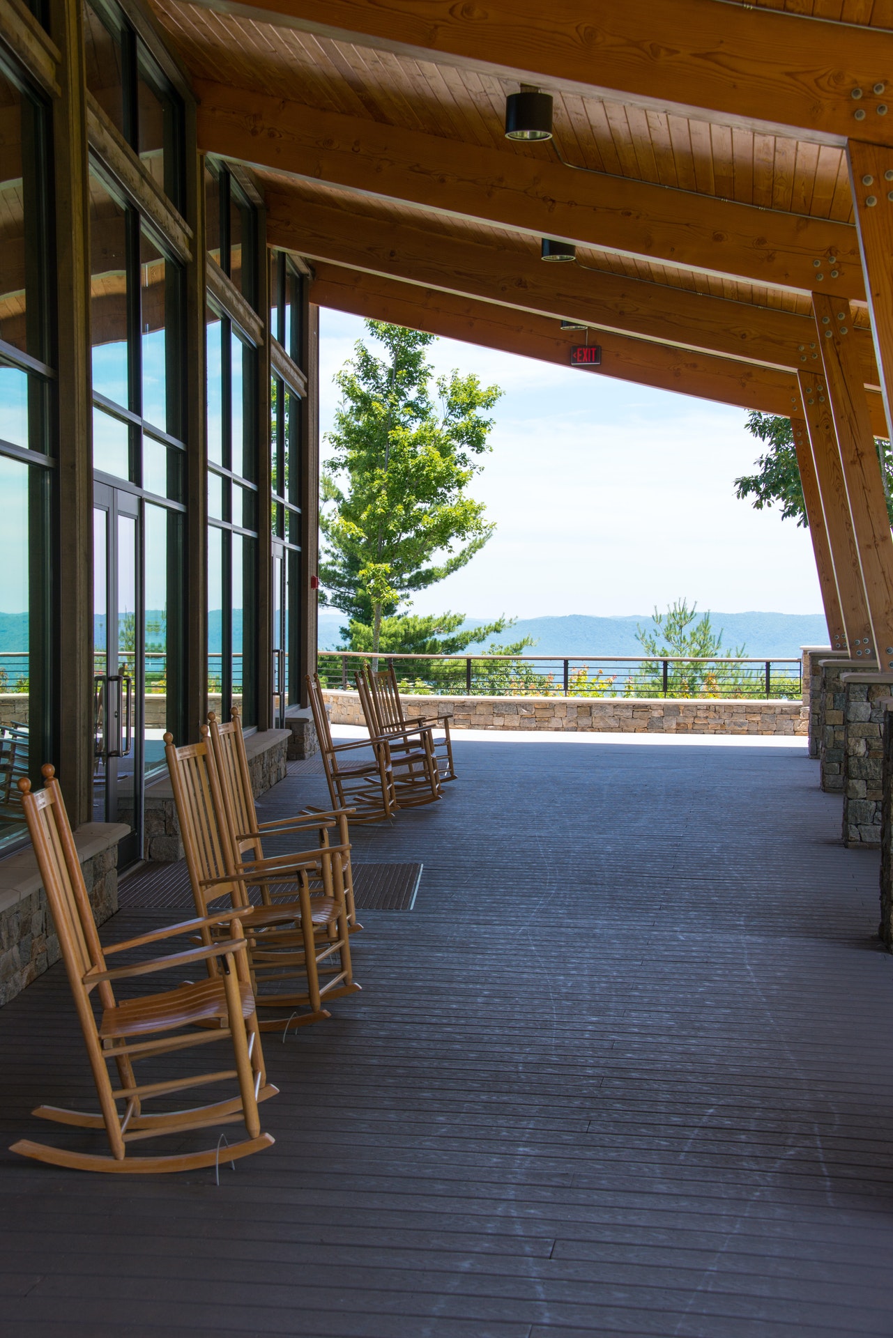
Gorges State Park is set in the midst of plunging waterfalls, rugged river gorges, sheer rock walls and a high concentration of rare species, and exploration of this unique environment often begins at the expansive visitor center with its museum-quality exhibits, augmented by picnic grounds and shelters. Backcountry-style recreation is a hallmark of Gorges with distance hiking, backpack camping, trout fishing, mountain biking and horseback riding welcome in various parts of the rugged interior. The 7,500-acre park incorporates a portion the long-distance Foothills Trail and touches Lake Jocassee at the South Carolina border. Trails and campsites continue to be developed at this relatively new state park.
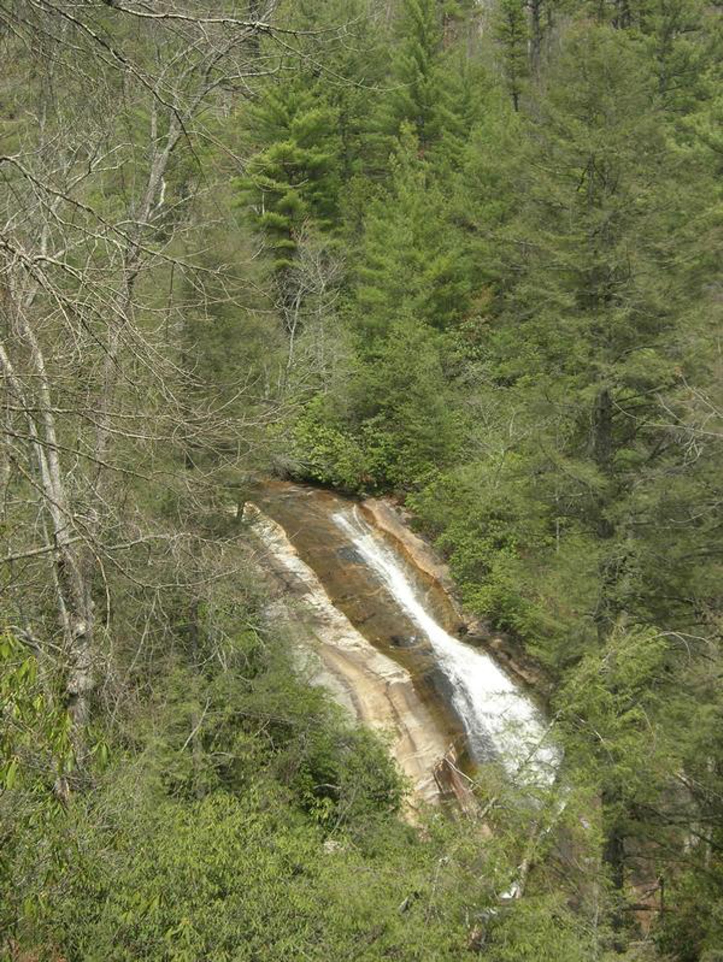
Gorges State Park is located along the Blue Ridge Escarpment, an area where five streams carry water to the ocean from the divide between the Tennessee Valley drainage and the Atlantic drainage. The upper reaches of the escarpment mountain streams gradually descend, but near the state line the water plunges over waterfalls and rushes through steep-walled gorges.
With such a rugged and contrasting topography contained within a small area, the park includes 21 of the 44 natural community types known in the mountain regions of North Carolina. Nearly 125 rare plant and animal species that occur in the mountain counties of North Carolina are found in the park, in addition to 12 endangered or threatened plant and animal species.
While the popular animal species of the region include black bear, wild turkey, fox, coyote, wild boar and deer, as well as a variety of squirrels, North Carolina's largest known population of green salamander occurs in the gorges. This secretive salamander hides in the damp, shaded crevices of cliff faces.
The forests of the gorges also provide abundant habitat for neotropical migratory birds, including the largest North Carolina mountain populations of Swainson's warbler. Three fish species - turquoise darter, redeye bass and rosyface chub - have their only North Carolina populations in the park's rivers that are part of the Savannah River drainage. In addition, the nearby Horsepasture River is both a designated federal Wild and Scenic River and state Natural and Scenic River.
One of the most damaging interferences to the Gorges environment occurred in 1916 when the dam containing Lake Toxaway - the largest private lake in the state - broke. Record amounts of water gushed southward down the river, destroying the communities in its path, scouring the gorges and leaving piles of debris 15 to 20 feet high. These debris piles still remain.
After the flood, local citizens eventually sold large land tracts in the Gorges to Singer Sewing Machine Company, which logged most of the land. Then, in the 1940s and 1950s, Singer sold the land to Duke Energy Corporation. The corporation purchased the land for its steep topography and high rainfall, which offered opportunities for development of hydropower projects. Crescent Land and Timber Corporation, a subsidiary of Duke Energy, managed the land, closing some roads and limiting human access to protect the environment.
Conservation studies began in the area in the late 1970s, and in 1982 nearly 275 acres of land that is currently in the park was placed on the NC Registry of Natural Heritage Areas because of the numerous rare species. In the late 1990s, Duke Energy determined that it no longer needed large portions of the Gorges for future hydropower and offered the land for sale to natural resources agencies in North and South Carolina. The NC Division of Parks and Recreation stepped up to create, with the support of local citizens and the General Assembly, a very exciting state park.


 Share Your Gorges State Park Photos (click here)
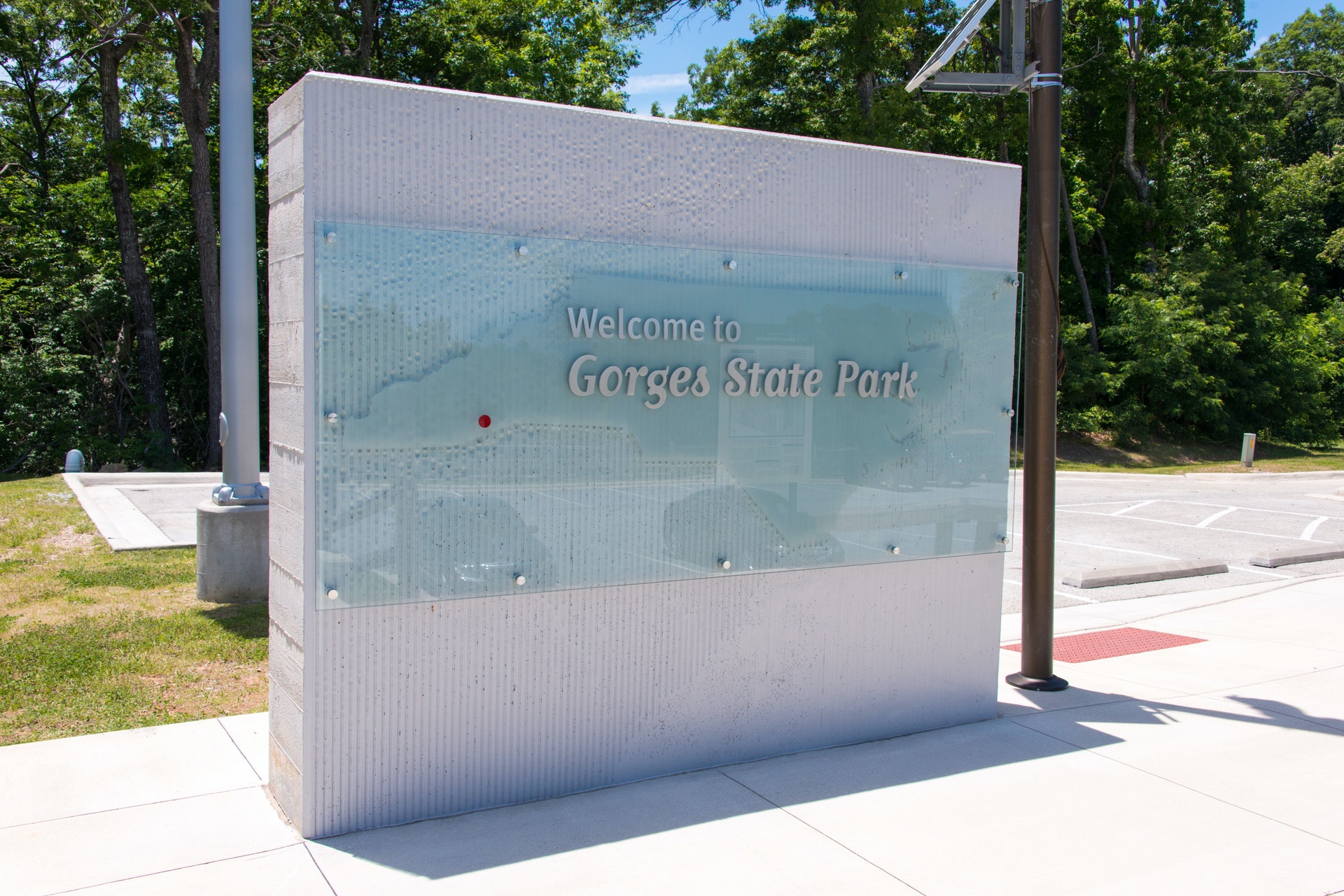