CAPE ARAGO STATE PARK
Cape Arago may be the end of the road (the road out of Coos Bay goes no further), but it's really only the beginning if you want to explore the southern Oregon coast.
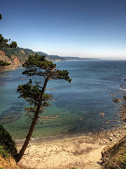
Located at the end of Cape Arago Highway about 15 miles southwest of Coos Bay, Cape Arago is a scenic headland jutting into the Pacific Ocean. Long used by native Americans, Cape Arago was first sighted by Europeans during one of Sir Francis Drake's expeditions in the late 1500s. Modern visitors can scan the horizon for migrating whales and other marine mammals, as well as fishing boats and ships entering and leaving nearby Coos Bay.
The south cove trail leads down to a sandy beach and superior tidepools where you can visit intertidal plants and animals (but please enjoy them with your eyes only). The north cove trail provides access for fishing, beachcombing, and viewing the off-shore colonies of seals and sea lions at Shell Island -- a designated National Wildlife Refuge. The trail is closed March 1- June 30 to protect seal pups. Picnic tables, restrooms and a gazebo shelter are available for daytime use.


 Share Your Cape Arago State Park Photos (click here)
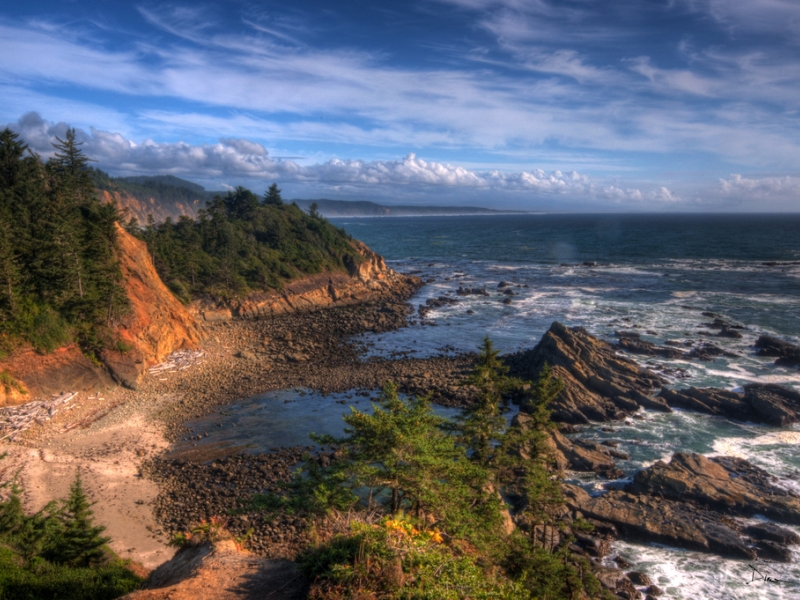