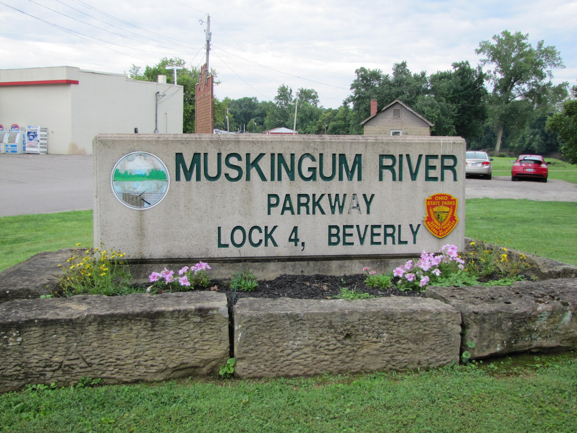
MUSKINGUM RIVER PARKWAY
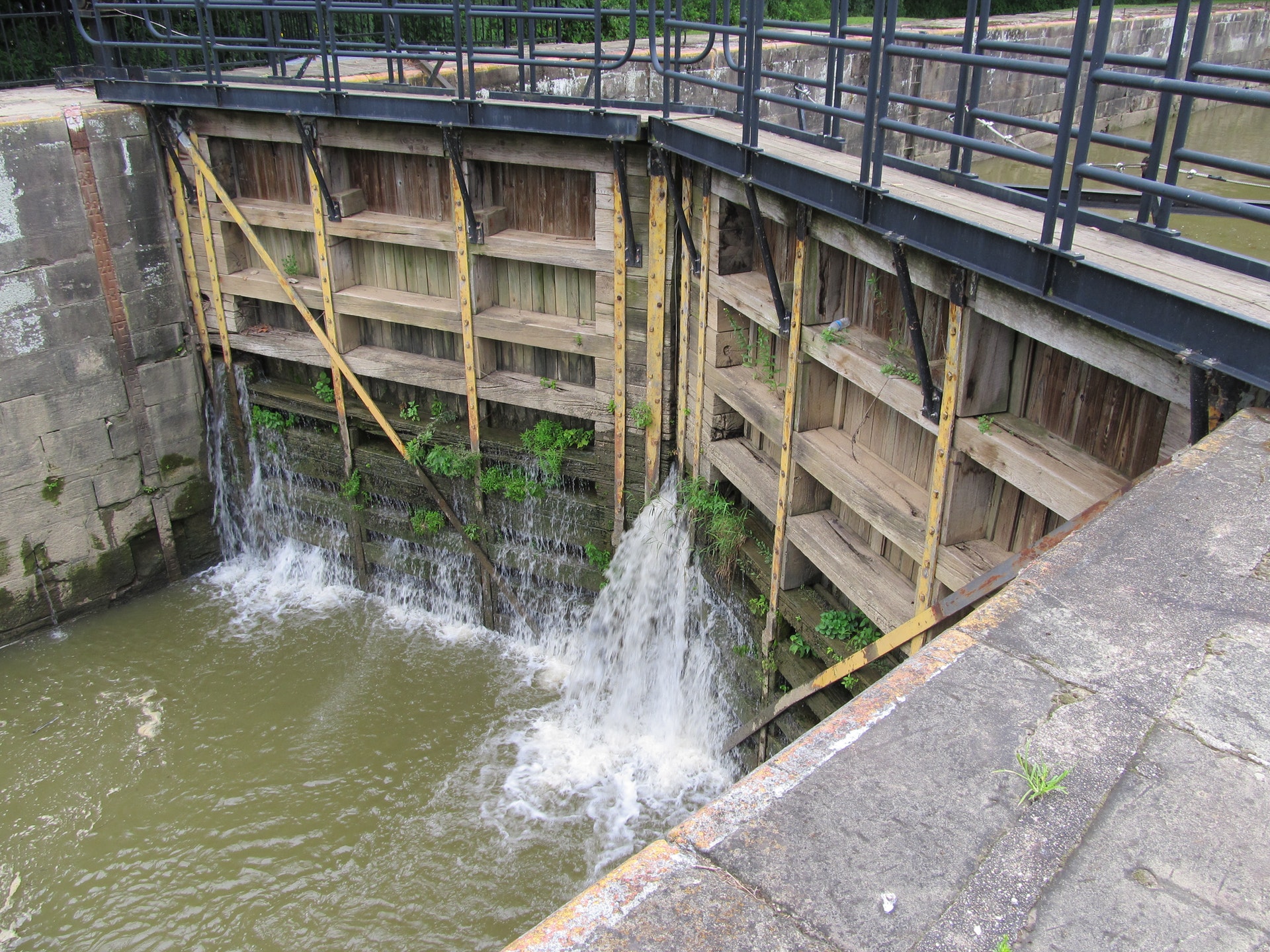
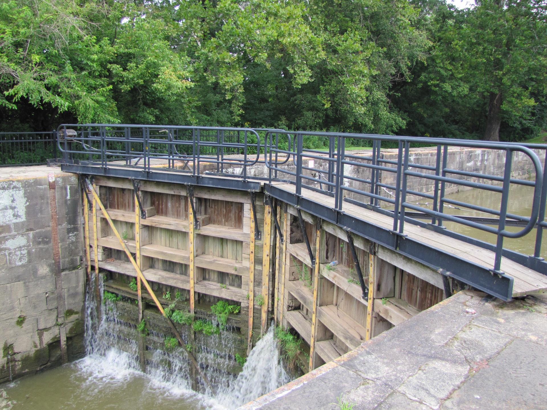
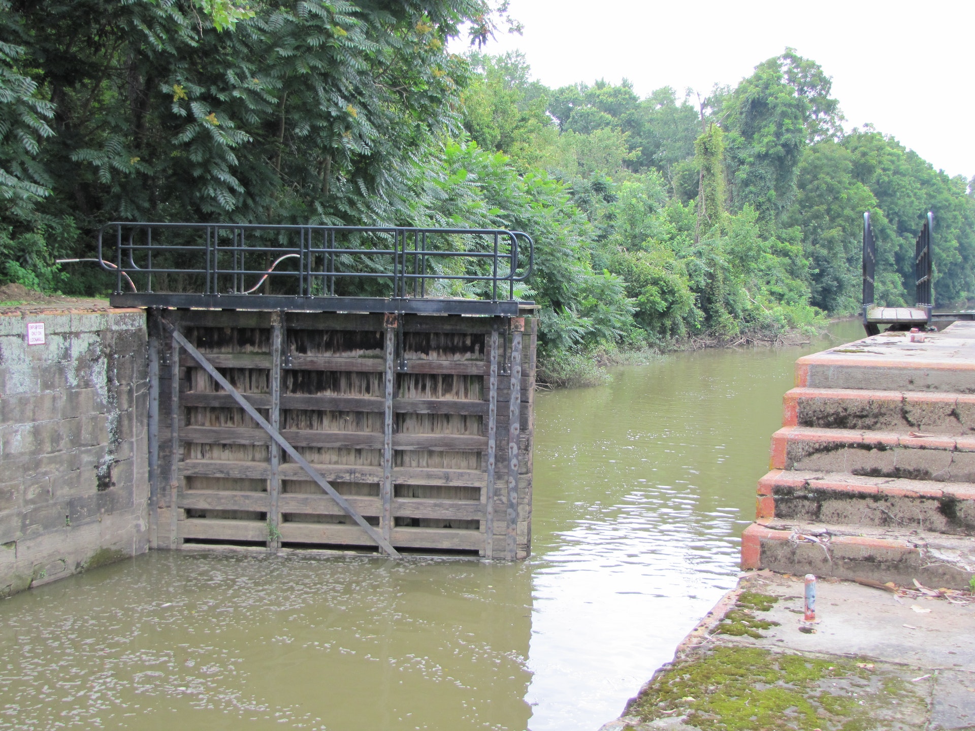
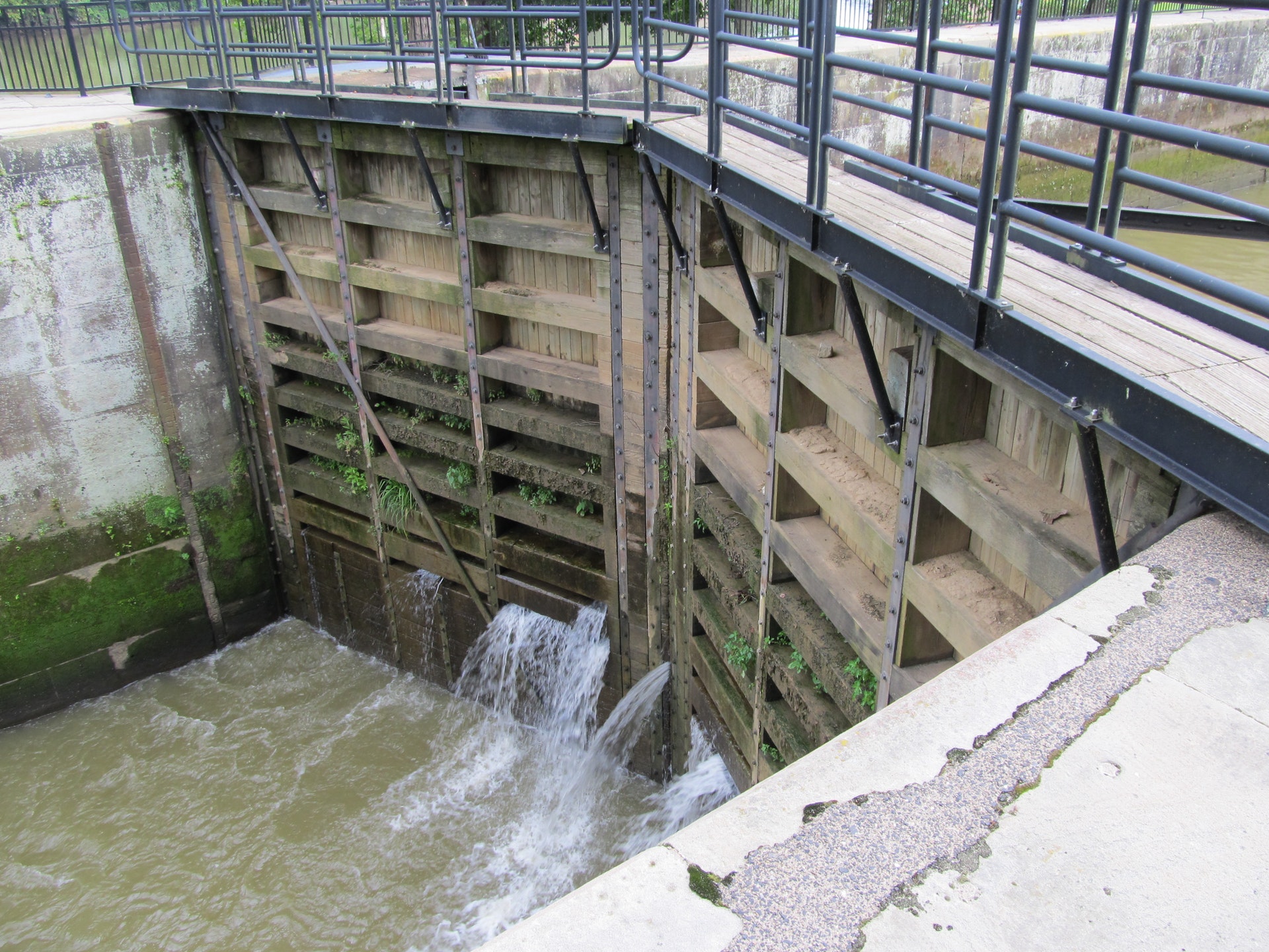
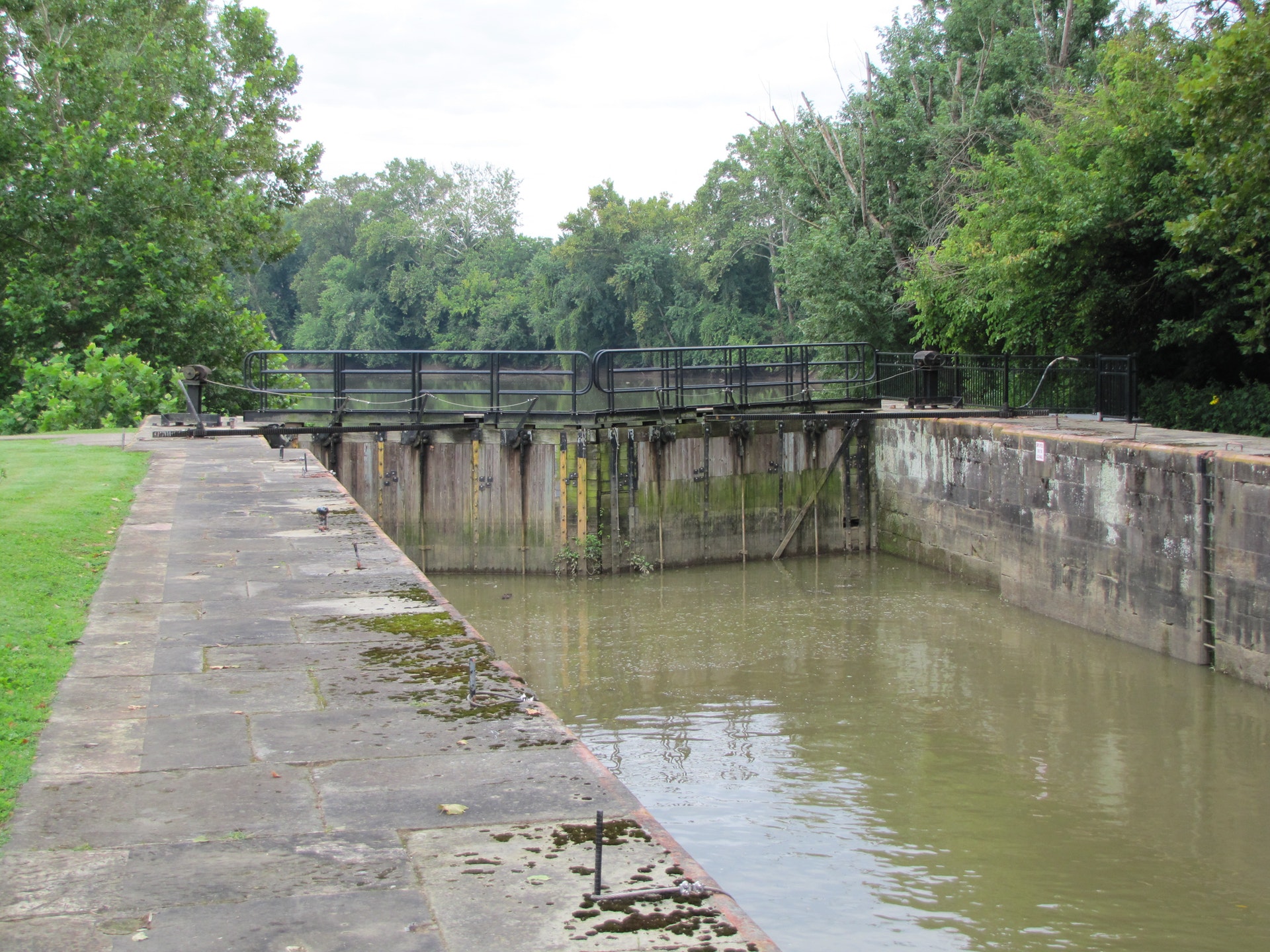
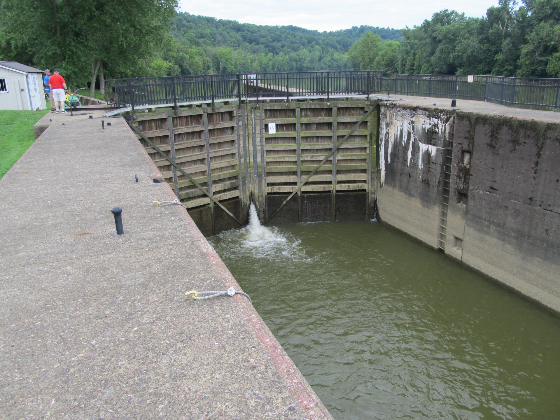
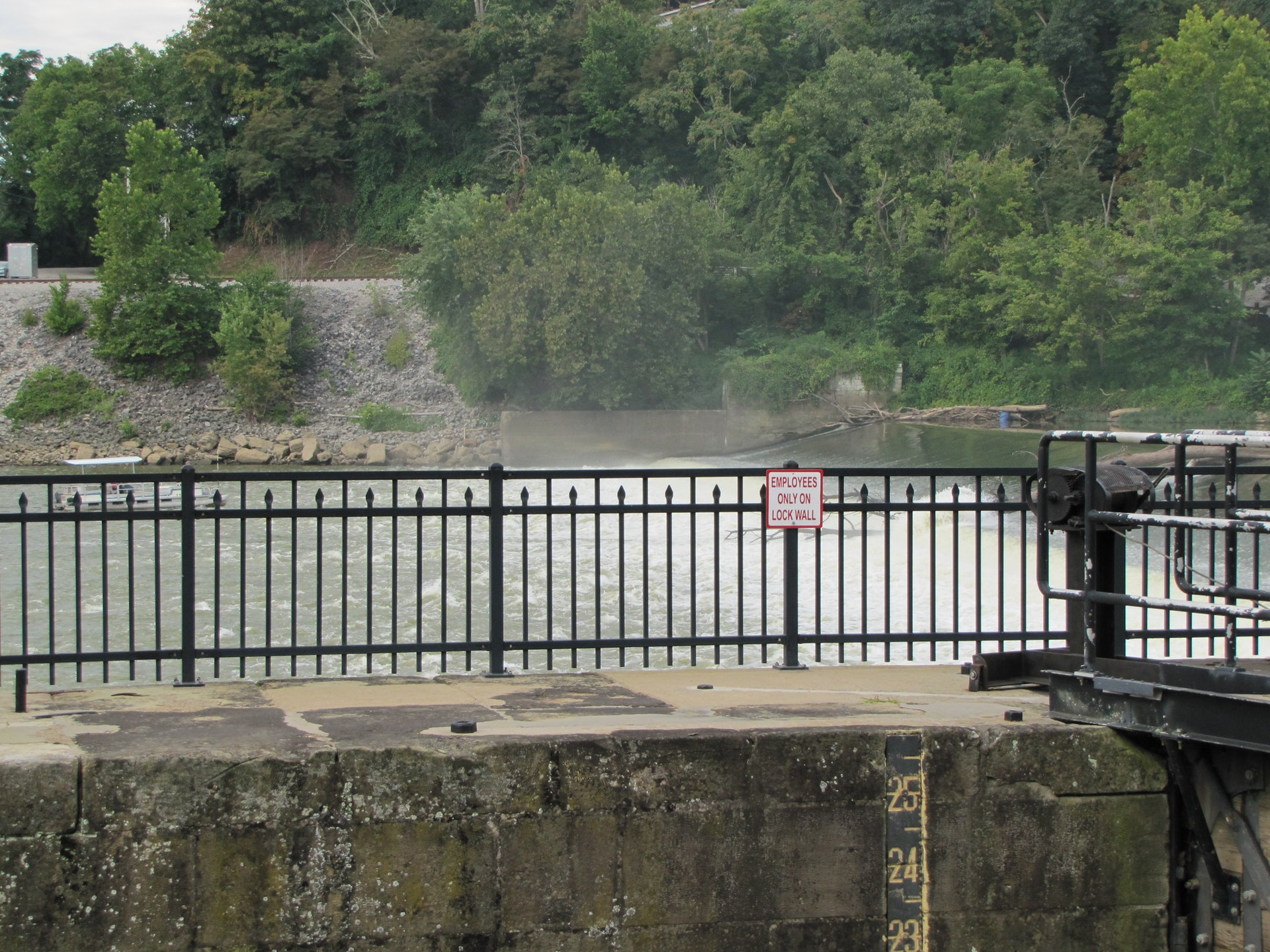
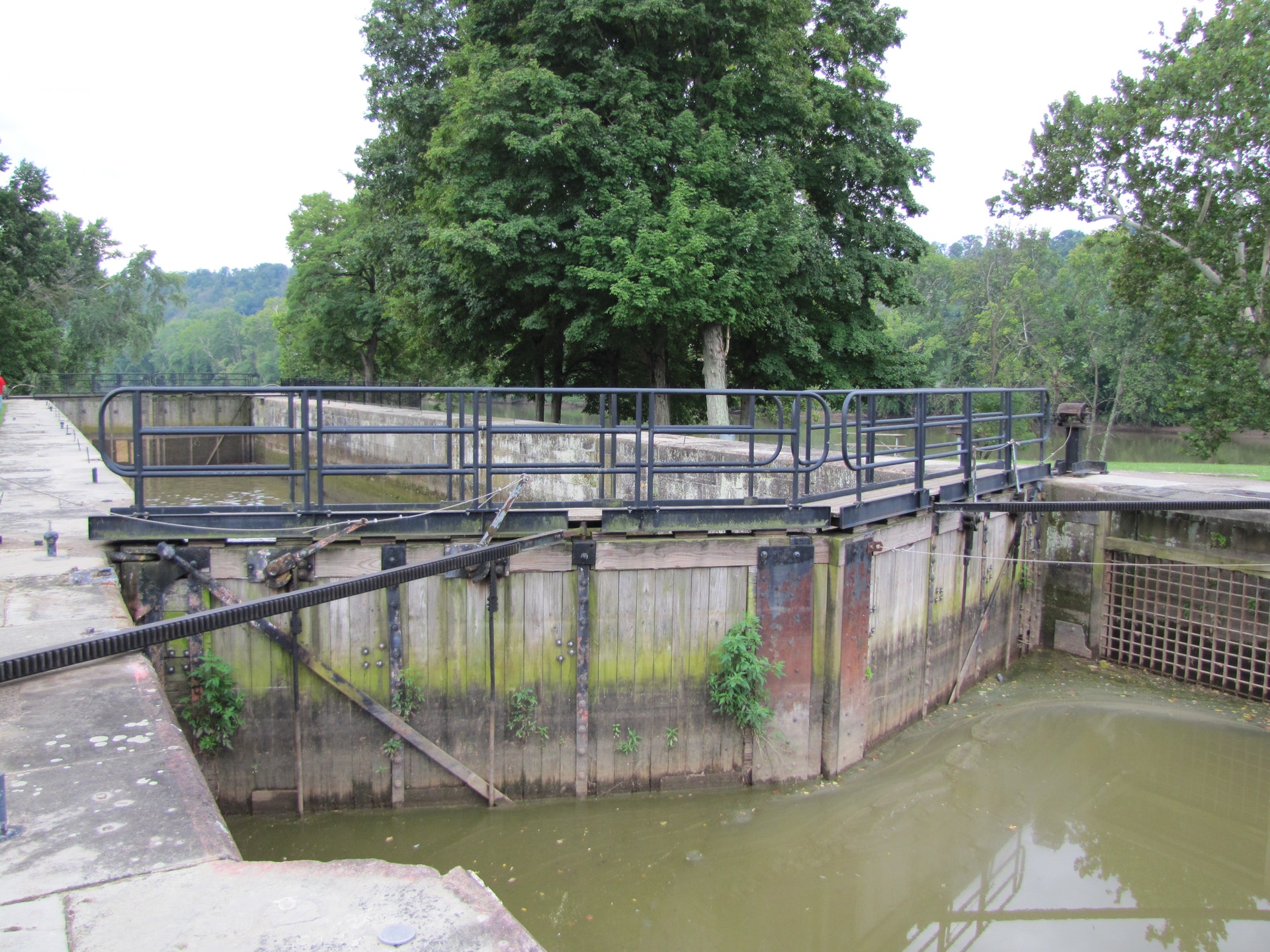
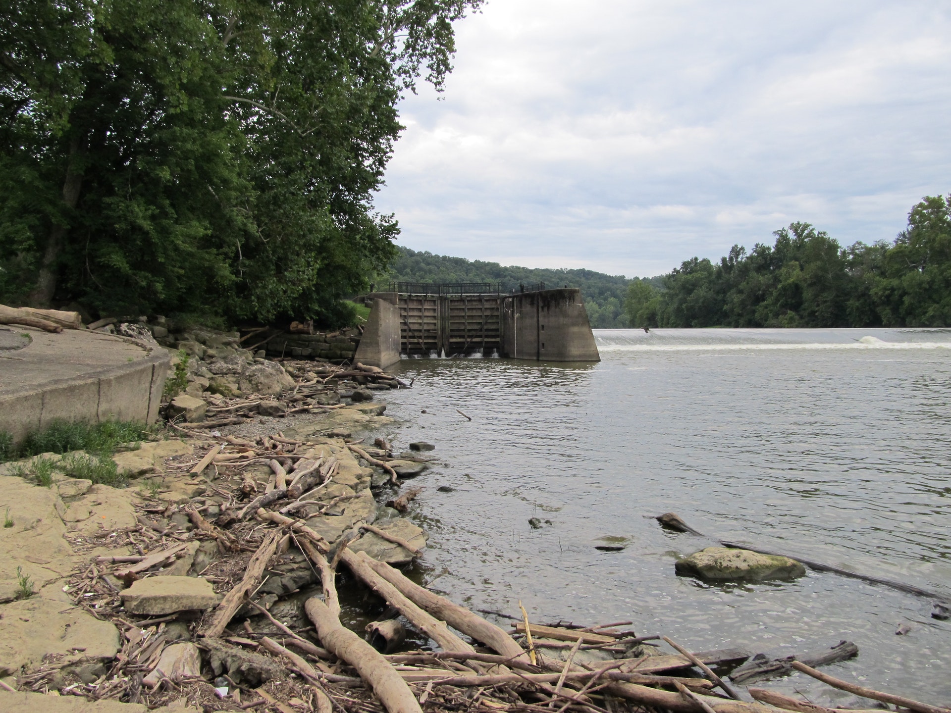
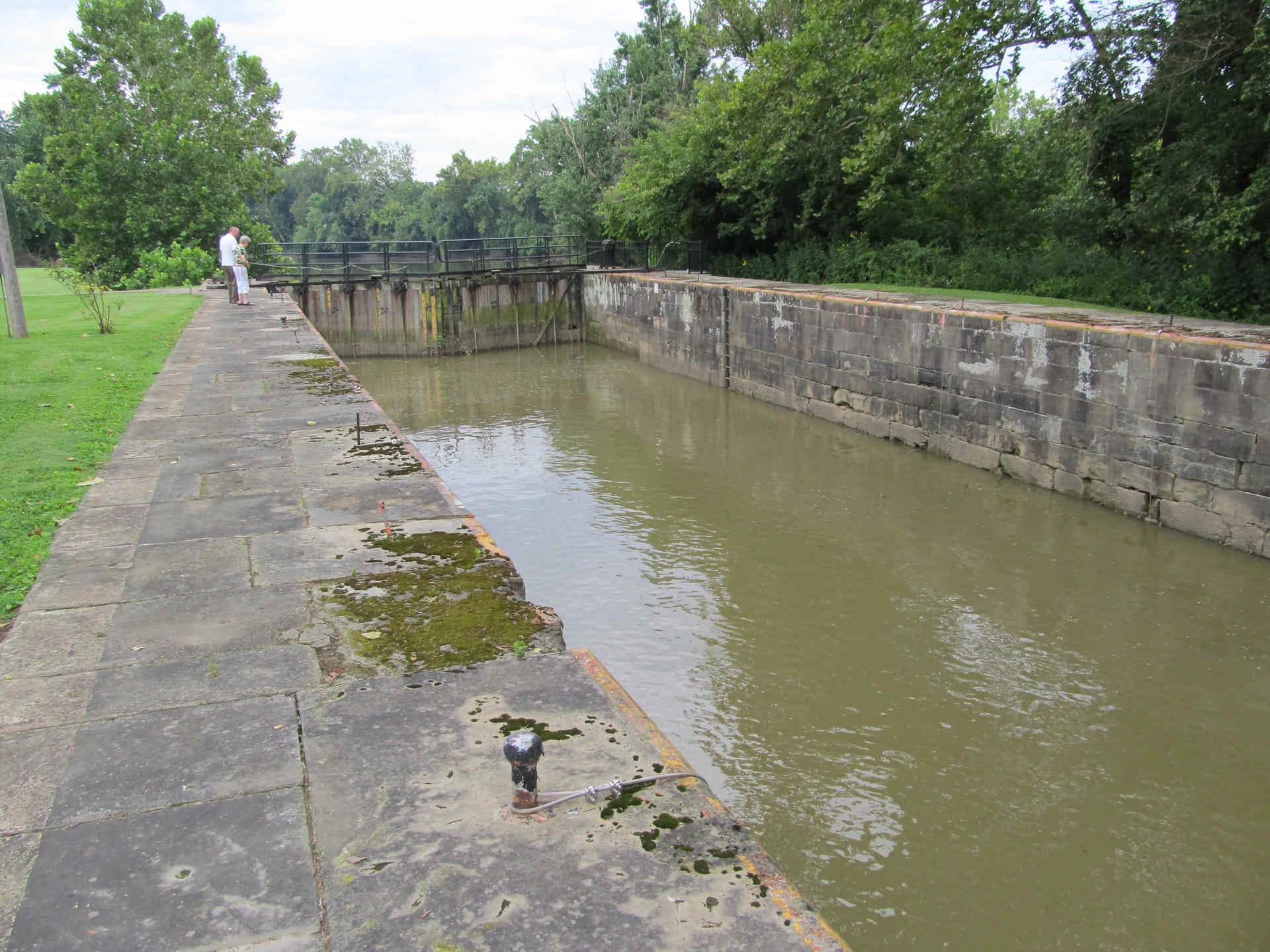
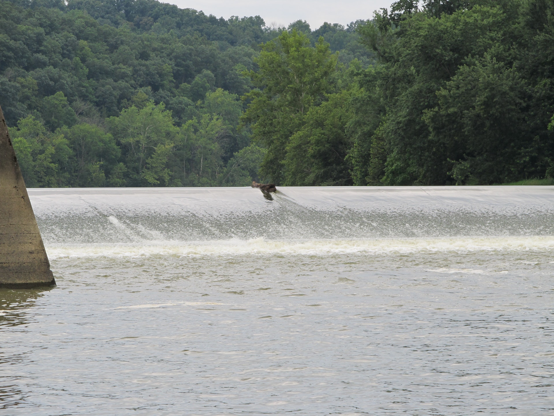
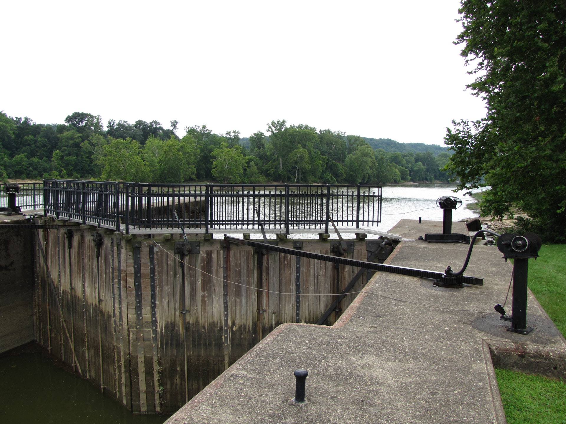
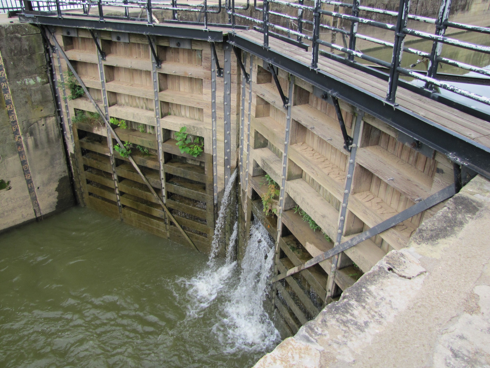
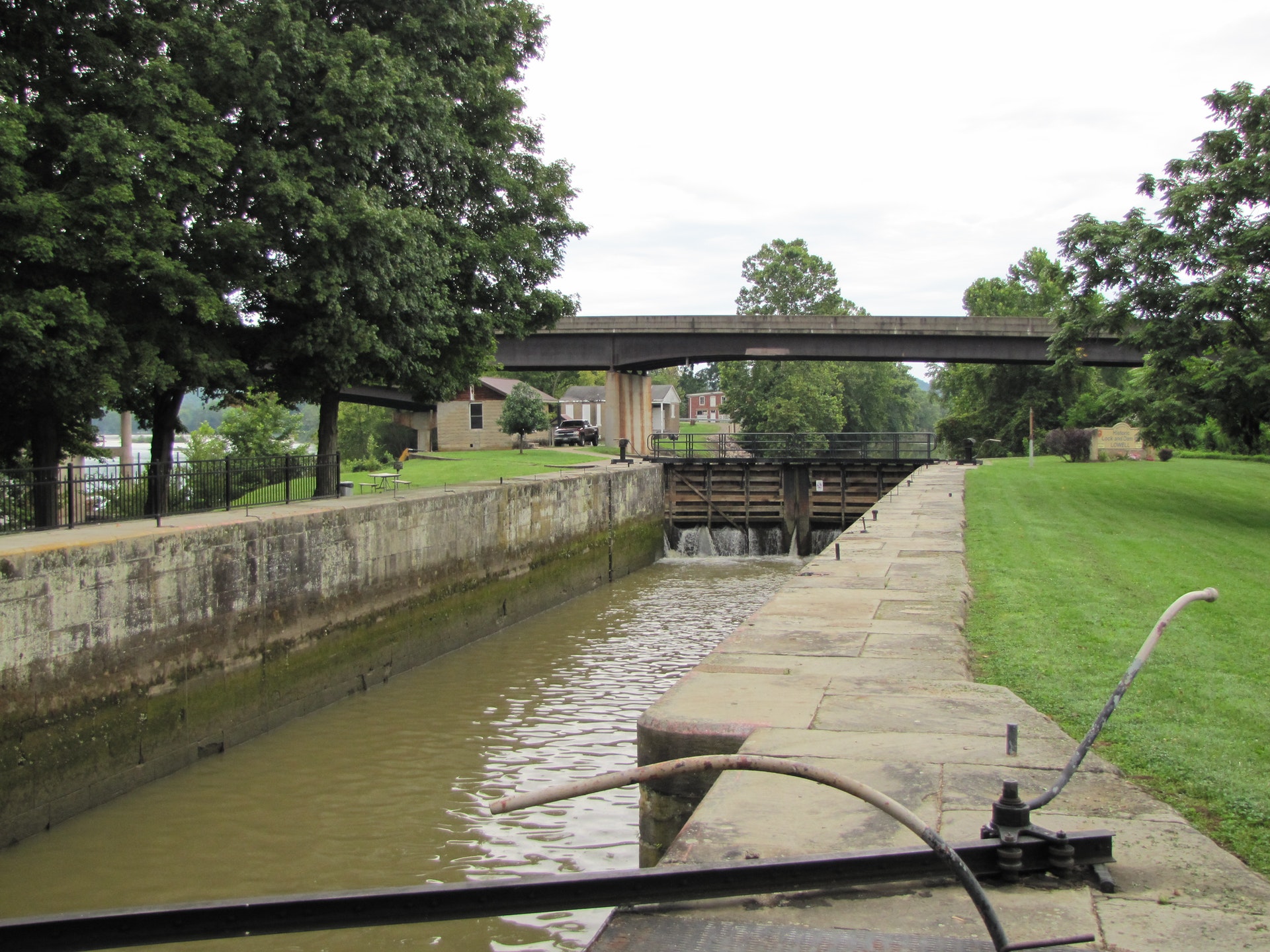
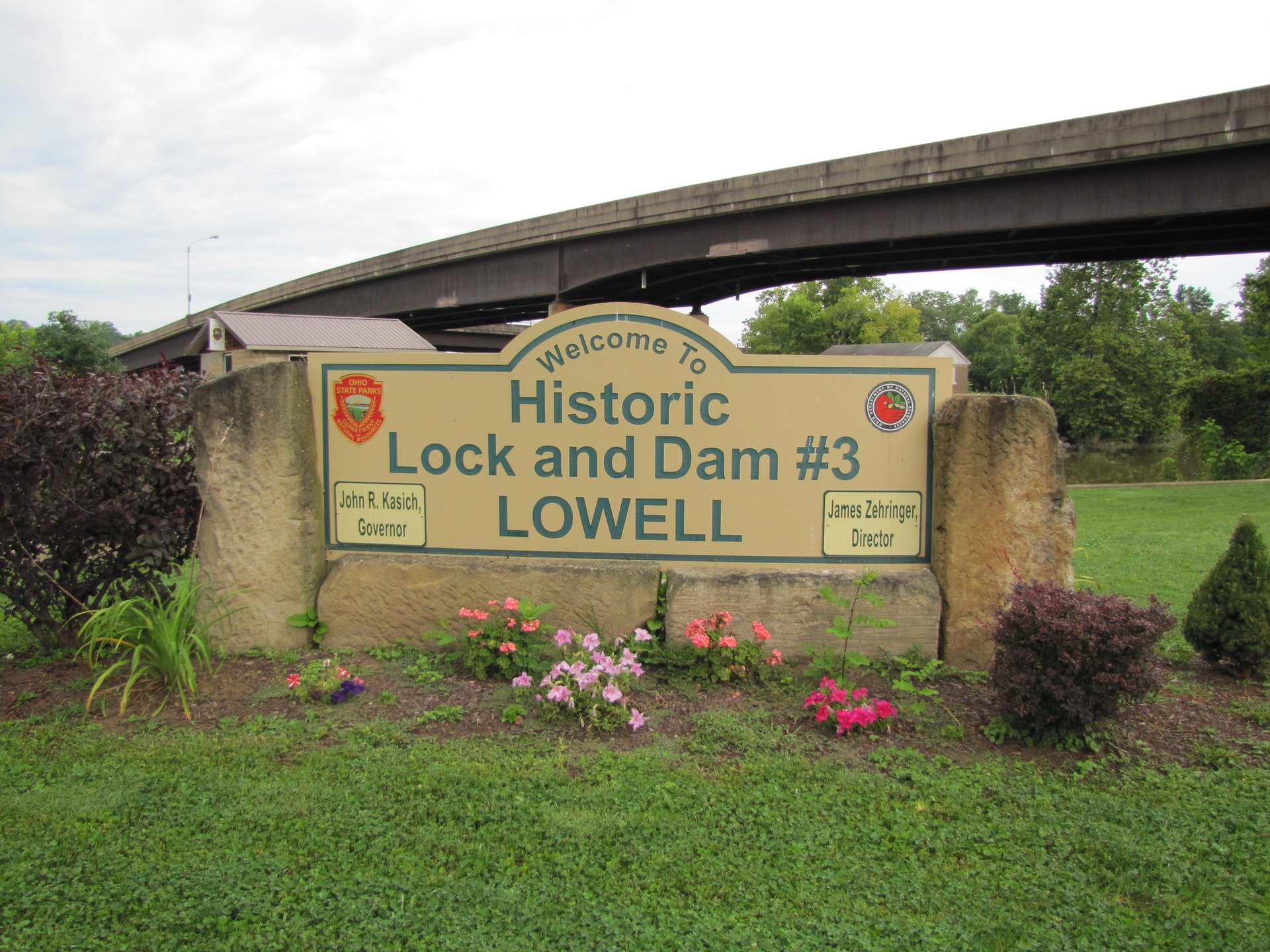
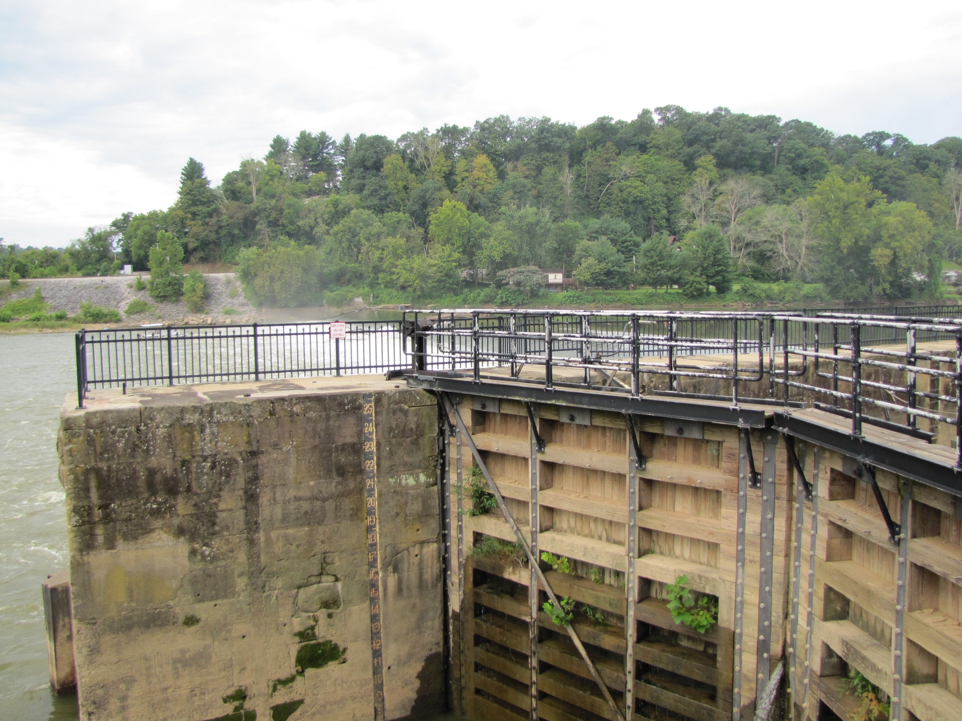
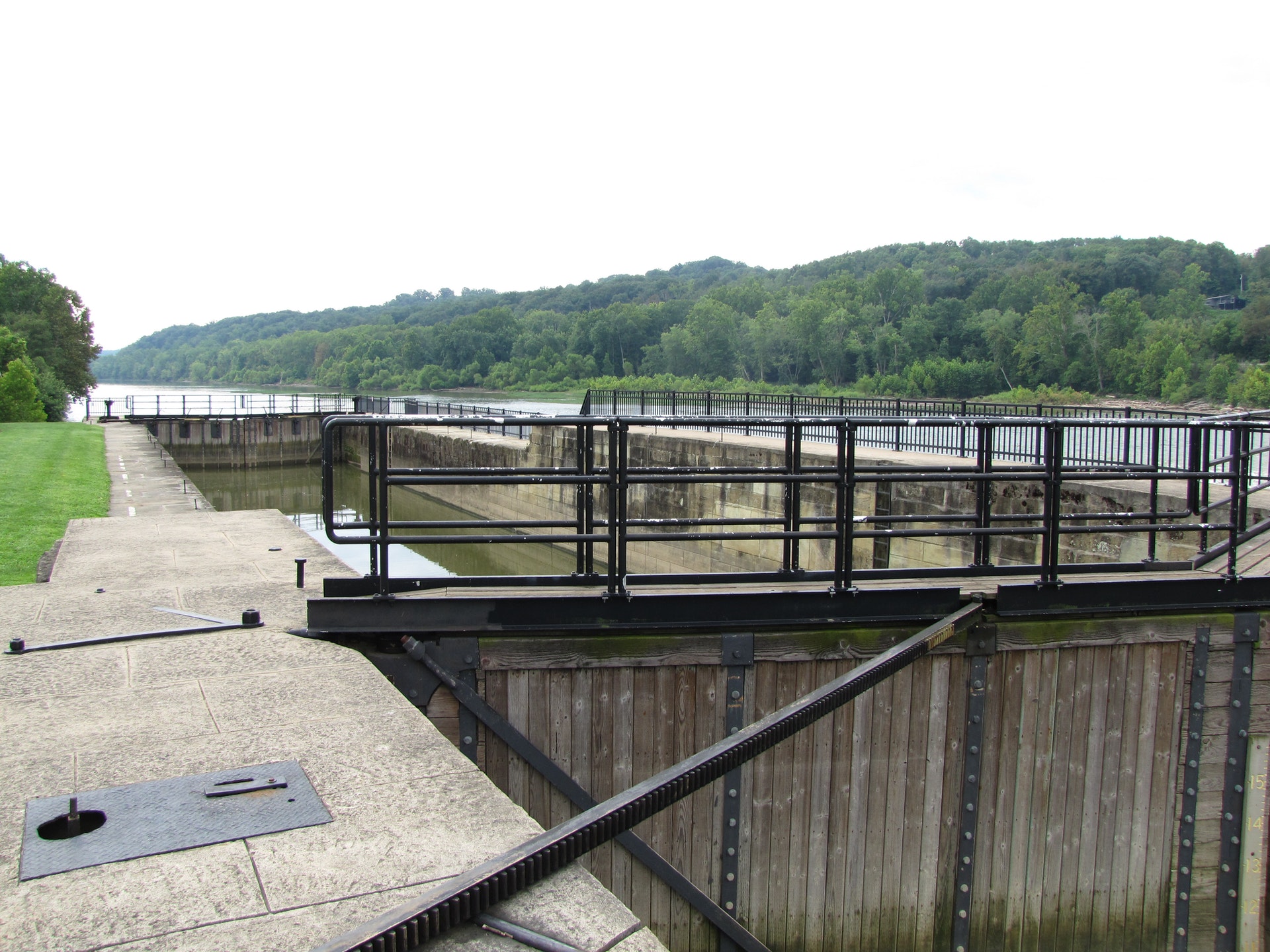
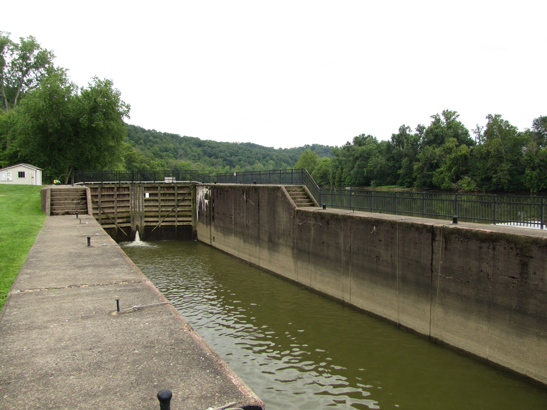
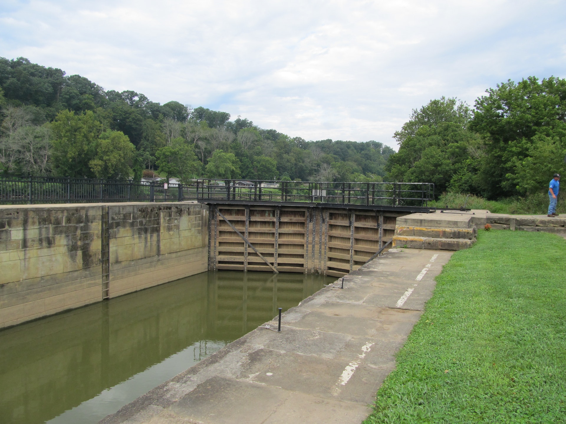
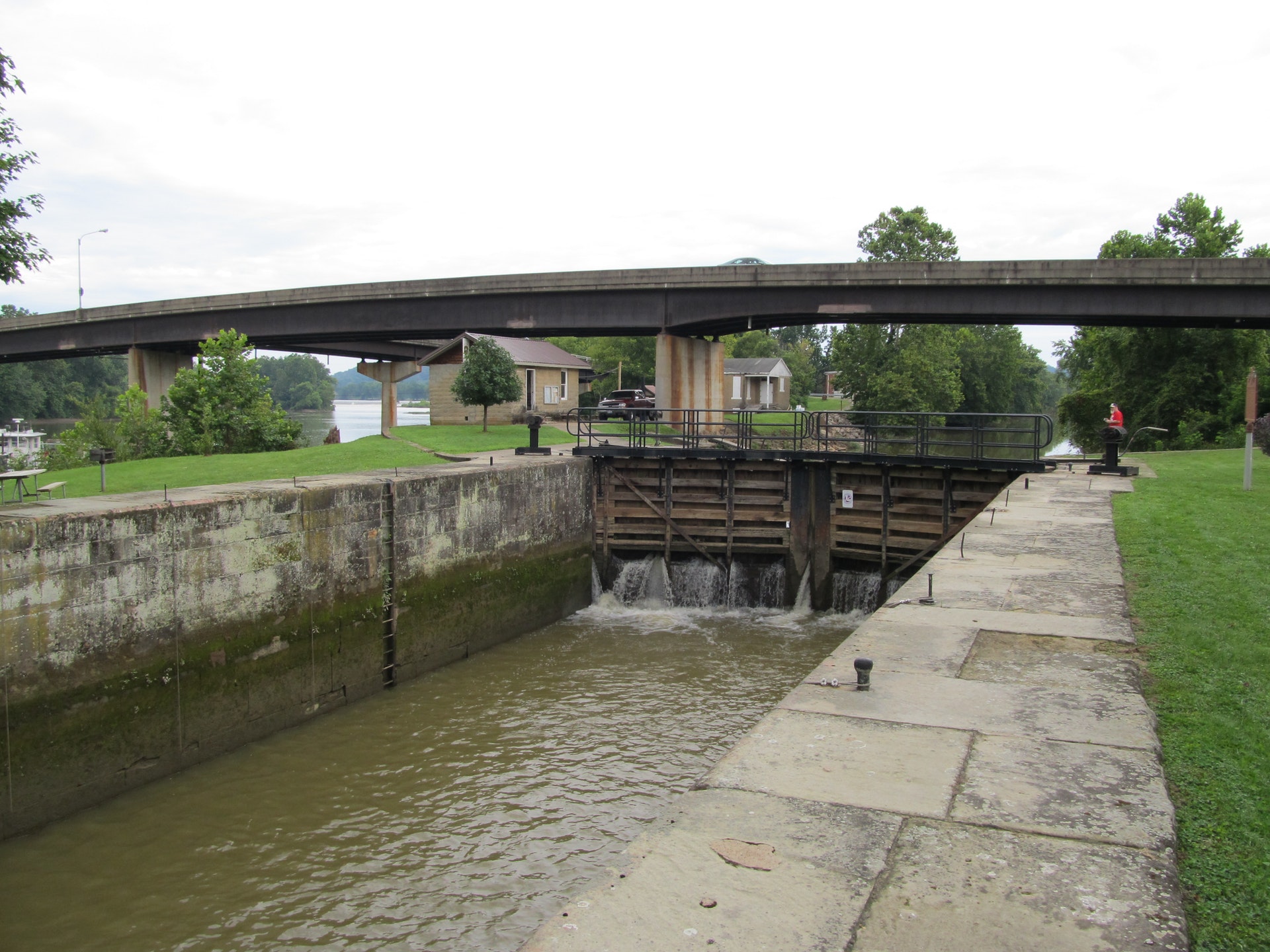
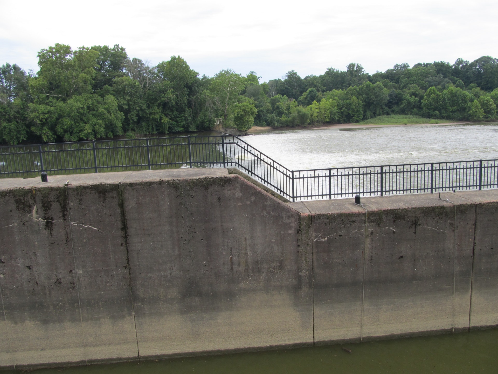
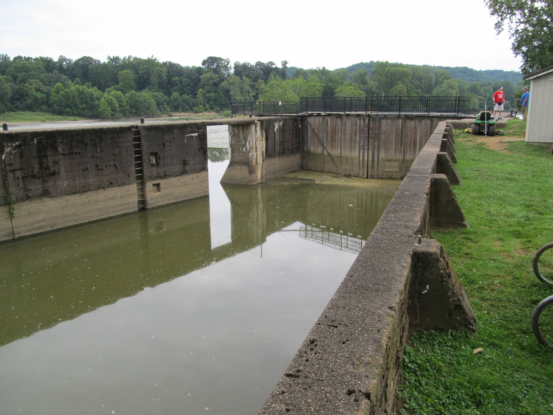
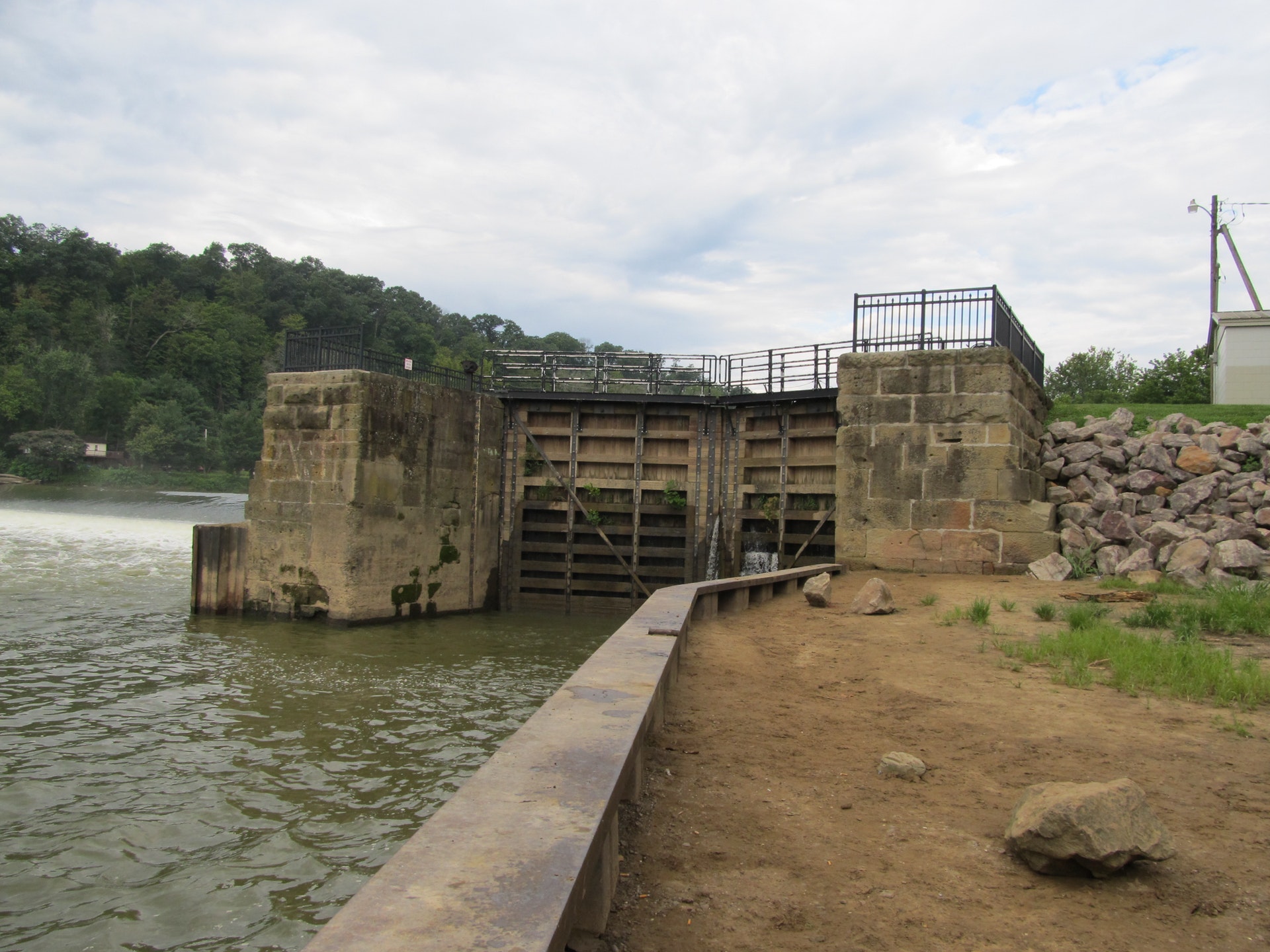
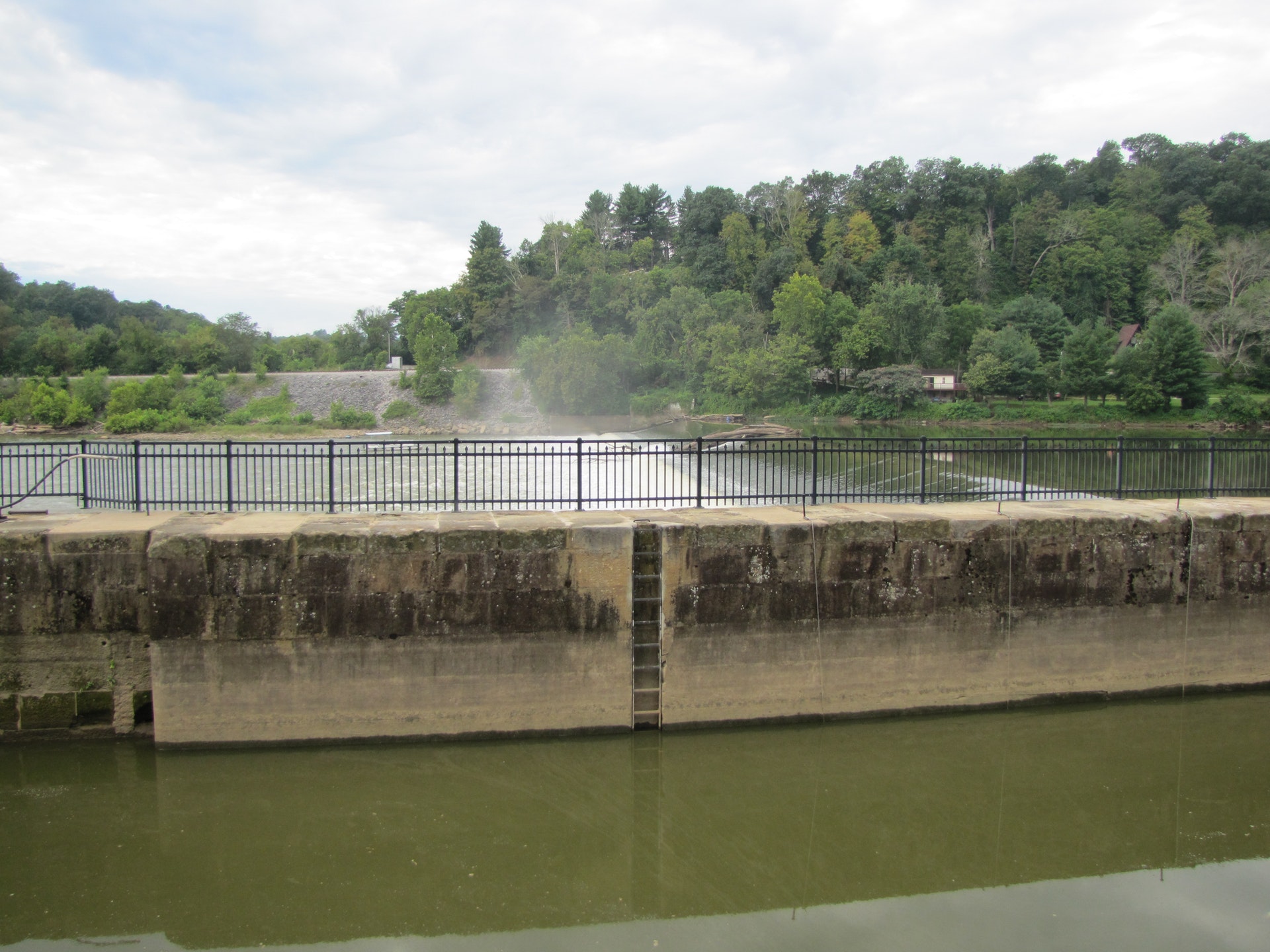
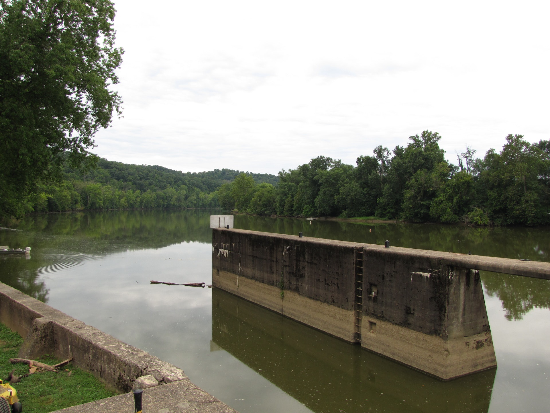
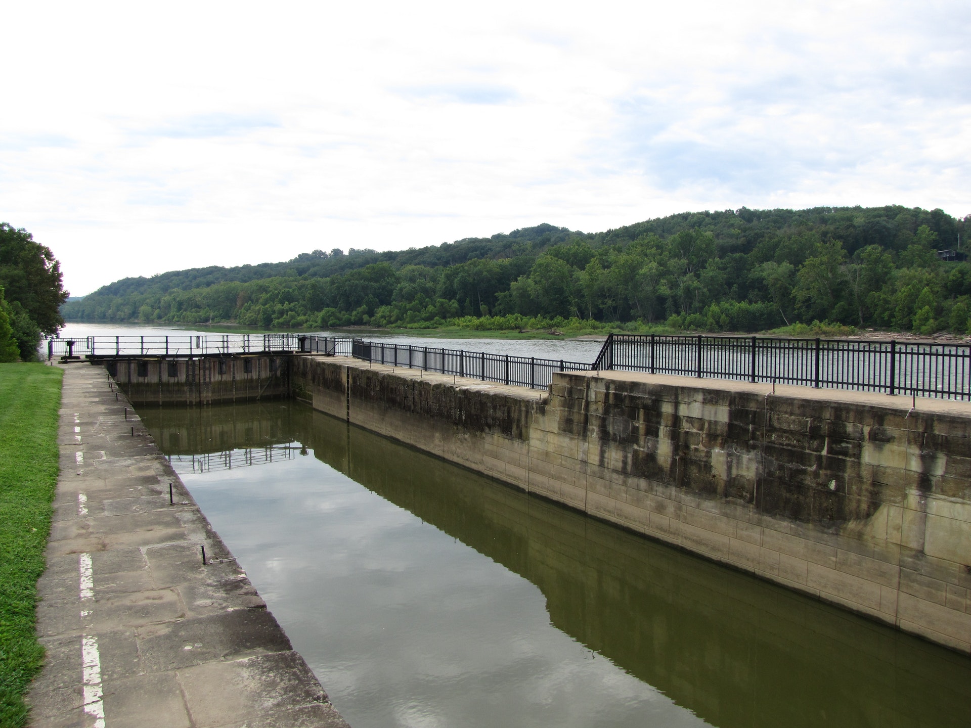
The Muskingum River Parkway and its 160-year-old navigation system were designated a National Historic Civil Engineering Landmark by the American Society of Civil Engineers in July 2001. Along with such majestic institutions as Hoover Dam, The Empire State Building and the Golden Gate Bridge, the Muskingum River's 10 hand-operated locks are now recognized as one of America's great engineering accomplishments.
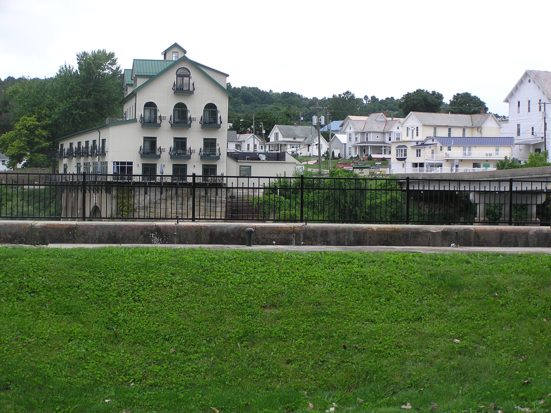
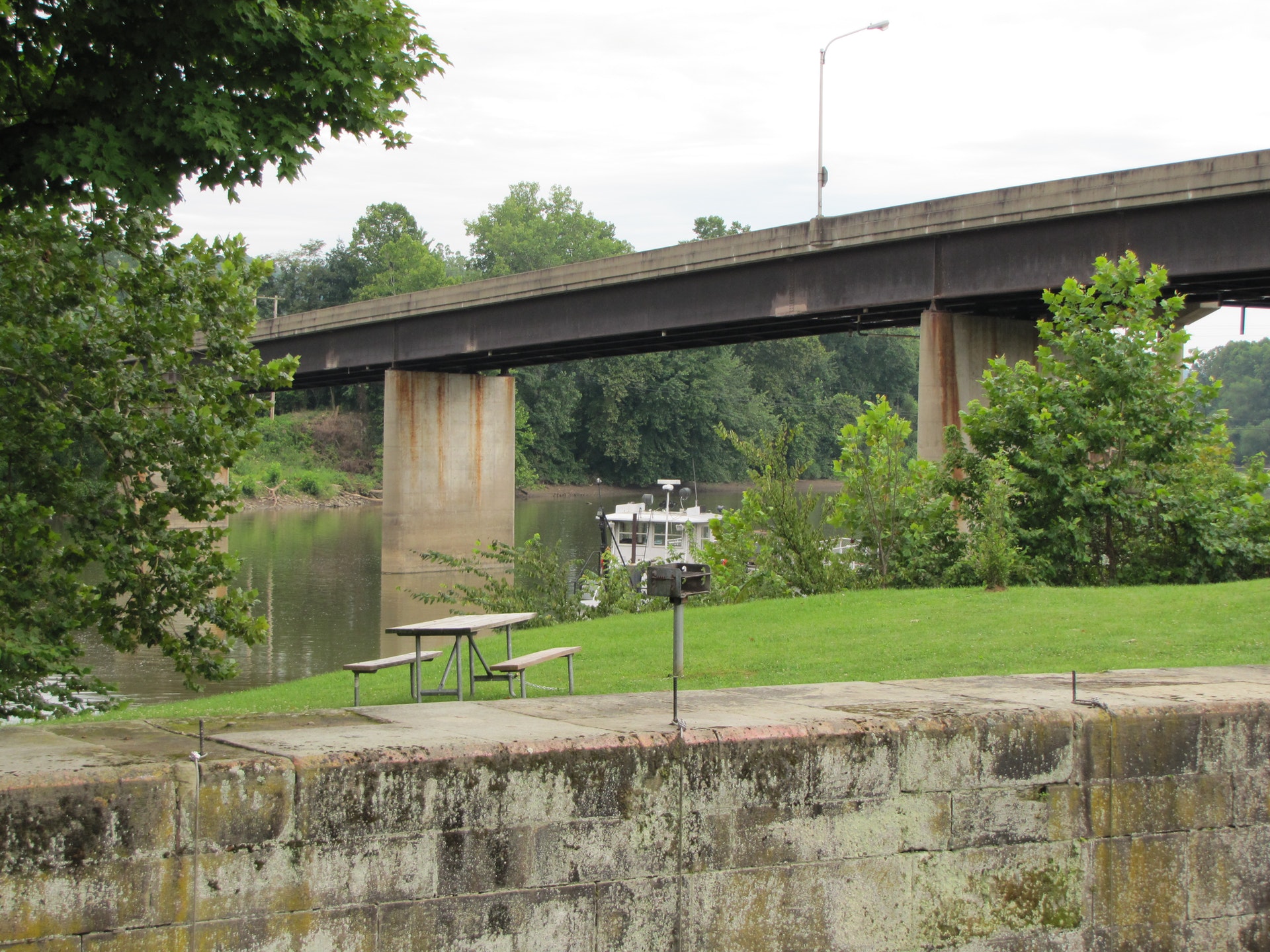
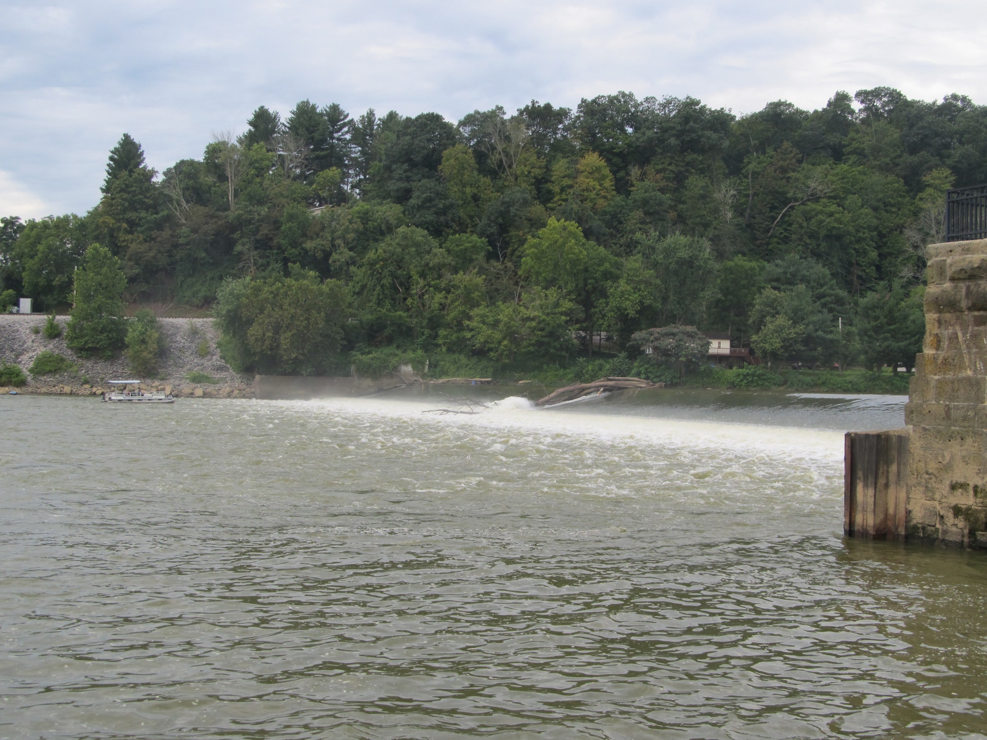
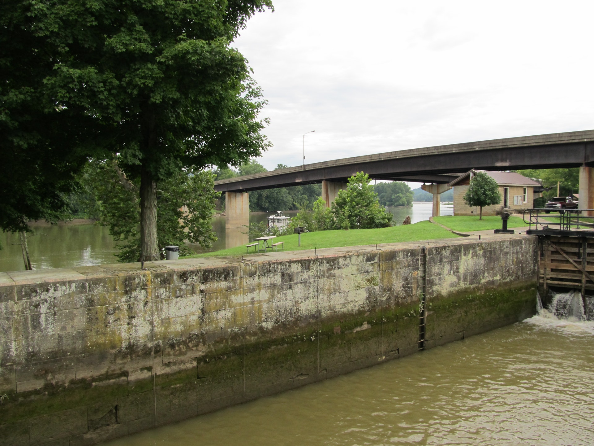
In its day, the system of locks and dams that extends 112 miles through southeastern Ohio, helped open the state and the entire Midwest to trade and development. Today, it serves the needs of more than 7,000 recreational boaters each year who come to fish, picnic and play in the scenic Muskingum Valley.
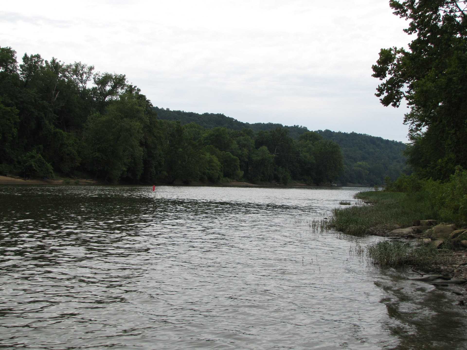
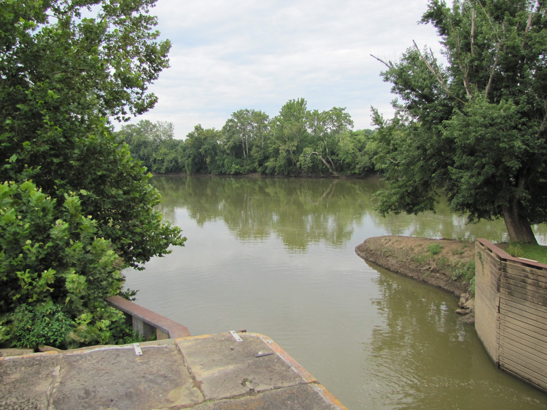
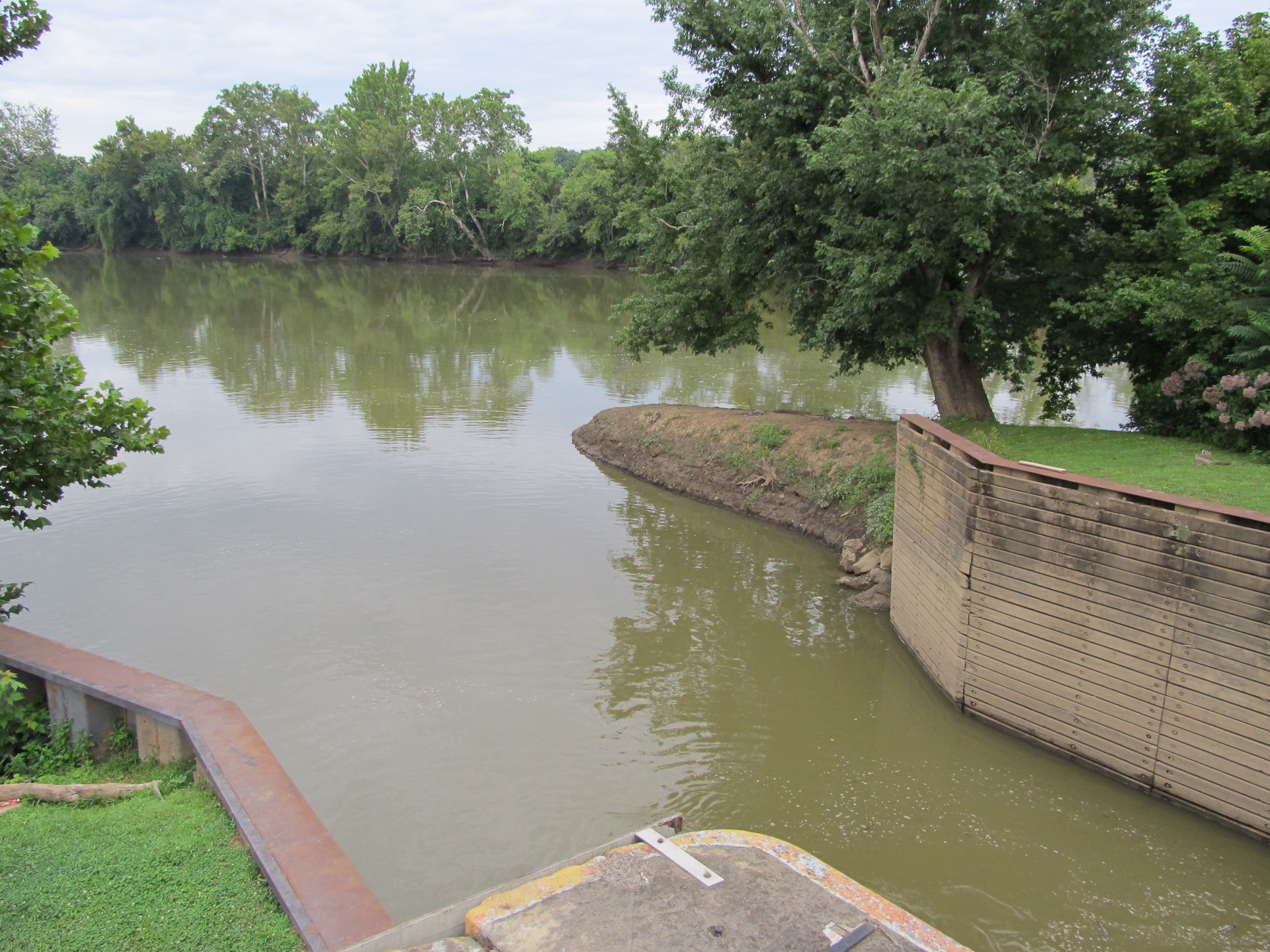
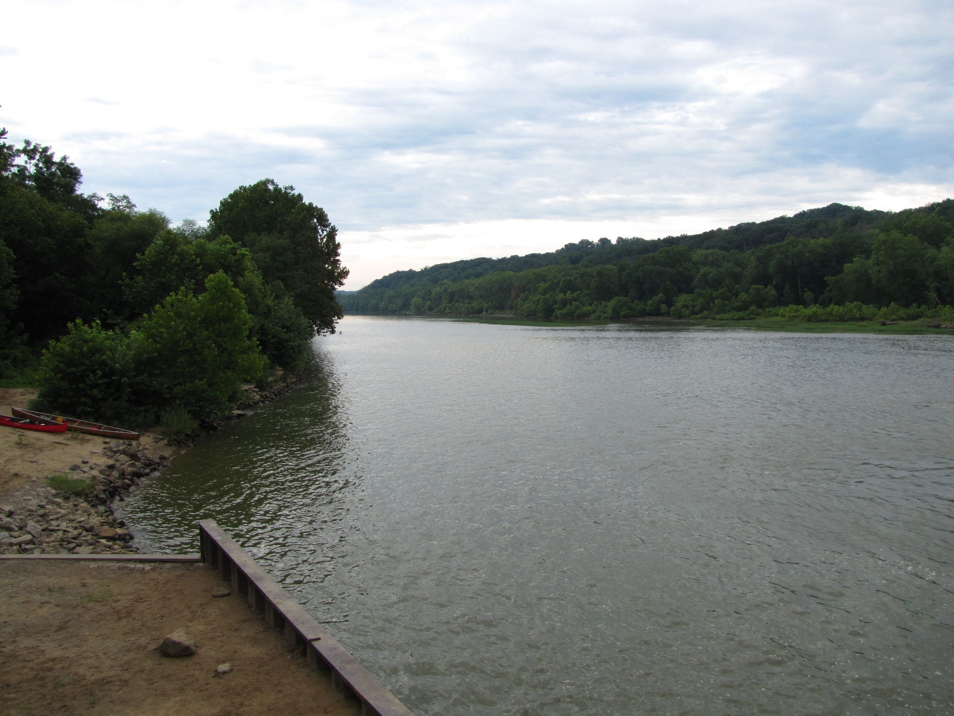
Parkway Map (pdf)The Muskingum River is formed by the confluence of the Walhonding and Tuscarawas rivers in Coshocton, Ohio. From there, it flows south through Zanesville where it is joined by the Licking River until it eventually drains into the Ohio River at Marietta. This mighty river travels 112 miles in all, traversing the scenic hill country.
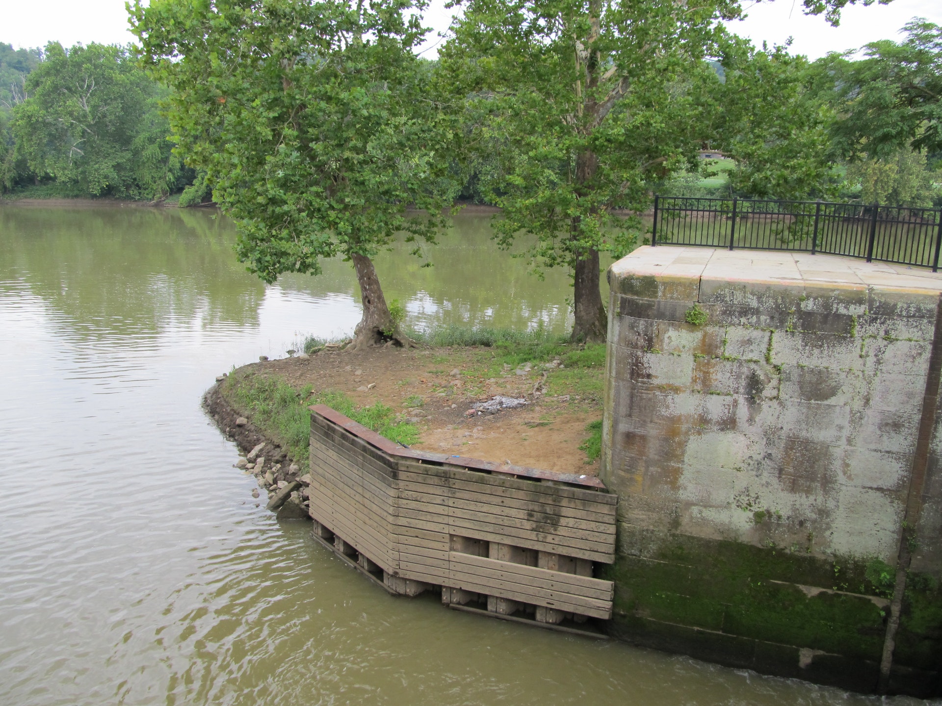
The rich floodplains of the Muskingum provide suitable conditions for walnut, elm, cottonwood and sycamore. Dense paw-paw thickets line the banks of the river. A rich diversity of bird life and mammals share the wooded shores. The Muskingum provides a remarkable fishery including catches of huge shovelhead catfish. The mighty Ohio muskellunge was once abundant in the Muskingum and its tributaries, but its population has declined in recent years. A number of rare fish share the waters such as sanddarters, northern madtoms, mooneyes and channel darters. The Muskingum and its tributaries have long supported large and diverse populations of freshwater mussels. Dissolved limestone in the river is used by the mussels in constructing their shells. The Muskingum River system supports the last remaining Ohio populations of mussels such as monkeyface shell, fan shell, Ohio pigtoe and the butterfly shell.
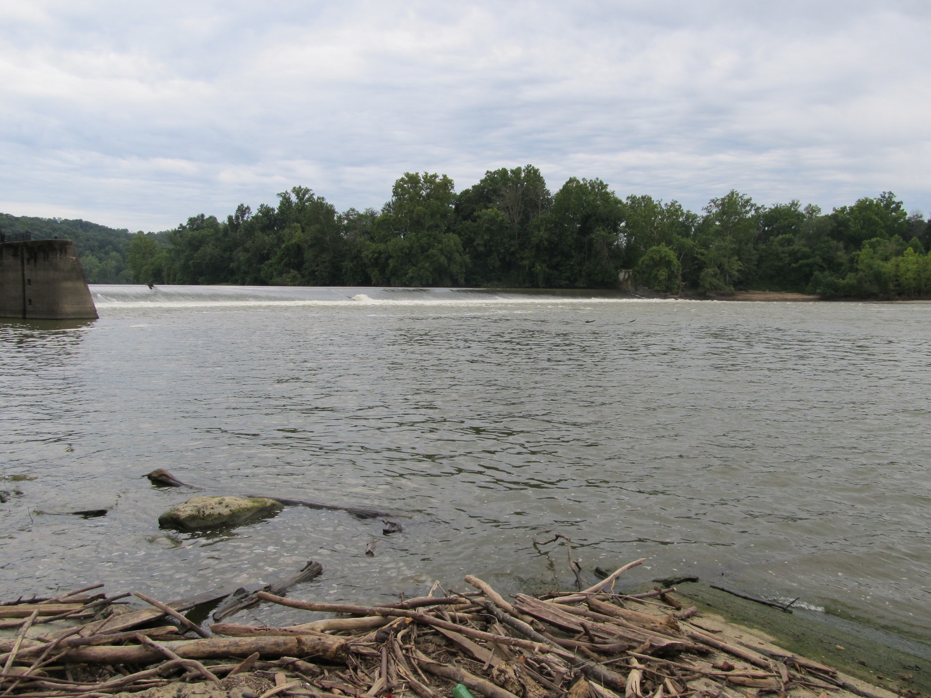
The Muskingum River, because of its size and location, has played an important role in Ohio's history. It is the largest river lying solely within Ohio, draining an area equal to one-fifth of the entire state.
Missionaries settled along the headwaters of this picturesque river in 1761. The first permanent settlement in Ohio was established in 1788 at Marietta. One of the city's founders, General Rufus Putnam, recognized the economic potential of the Muskingum River for transporting raw materials to eastern markets and brought in New England shipbuilders. In 1824, steam-powered paddle wheelers joined the flatboat and keelboat traders, generating public support for river navigation.
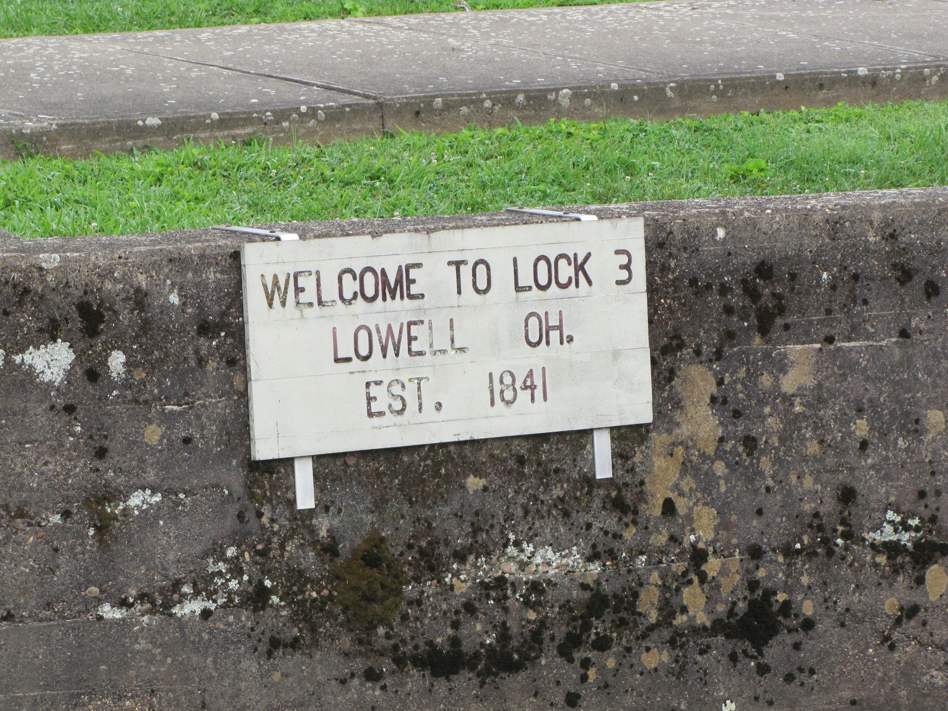
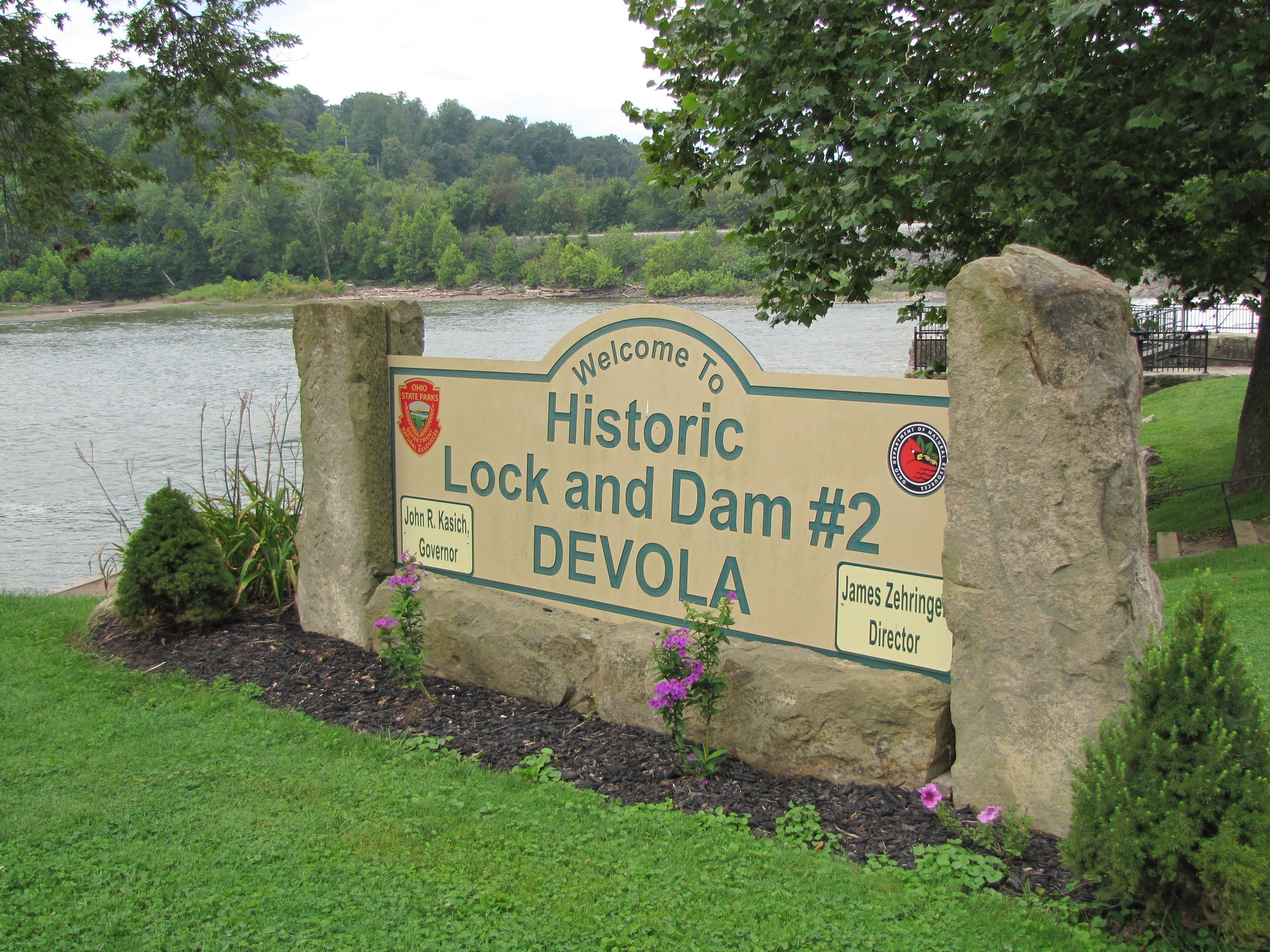
West Point graduate Major Samuel Curtis designed a system of 10 dams and 11 locks to connect the Muskingum River to the Ohio and Erie Canal at Dresden. Opened in 1841, the system provided navigable waterways from Marietta to Lake Erie.
Ohio does not have an annual pass and does not charge entrance fees to state parks.
GeneralLand, acres120
Water, acres-13
Day-UseFishingyes
Hiking Trail, miles1
Picnickingyes
Nature Programsyes
BoatingBoating LimitsUnlimited HP
Launch Rampsyes
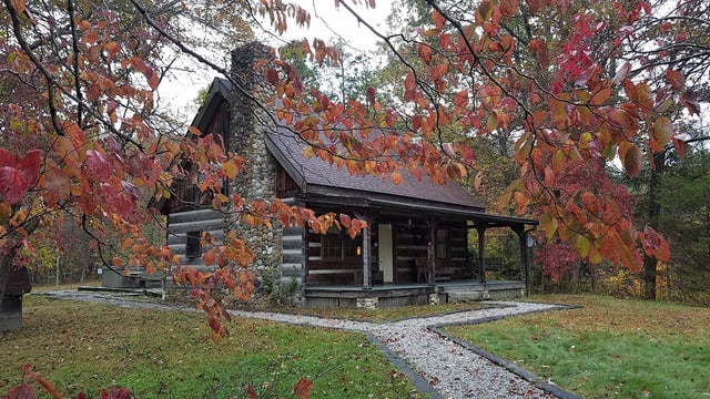
CampingPrimitive, #28
Pets Permittedyes
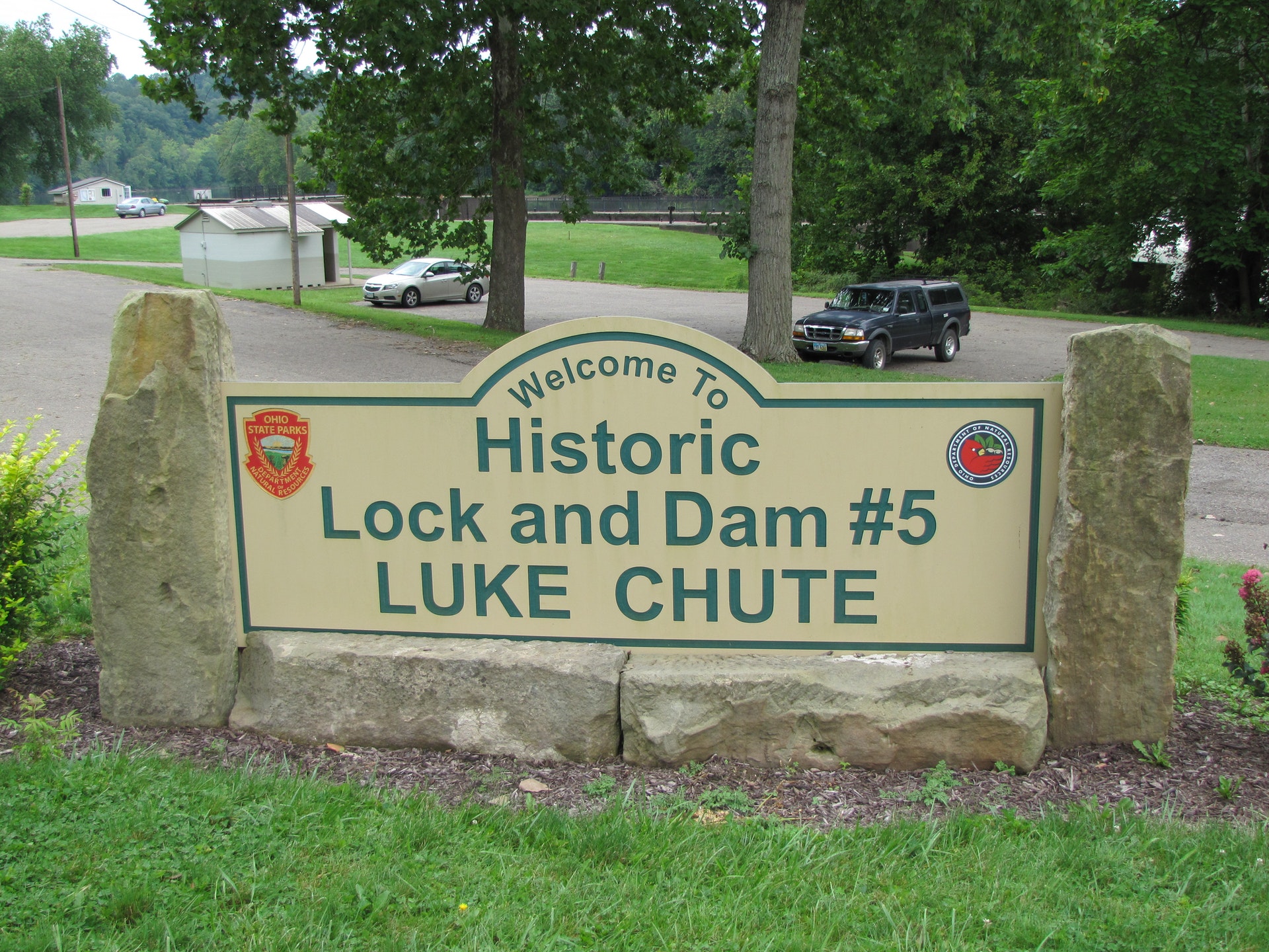
A camping area is provided at Lock 11. There are 20 campsites off State Route 60 and County Road 49 in Muskingum County. Water, picnic tables, fire rings and latrines are provided. Pets are permitted in the camping area at Ellis. There are eight boaters-only, primitive campsites at Lock #5, Luke Chute.
It is suggested that prior to departing for a boat trip on the Muskingum River, boaters contact the park office to check on river and lock conditions. Boats with unlimited horsepower motors, house boats, pontoon boats, canoes and rowboats travel the river. Public launch ramps are provided at Locks 4, 5, 6 and 11. Private ramps are located near Locks 2, 7 and 10.
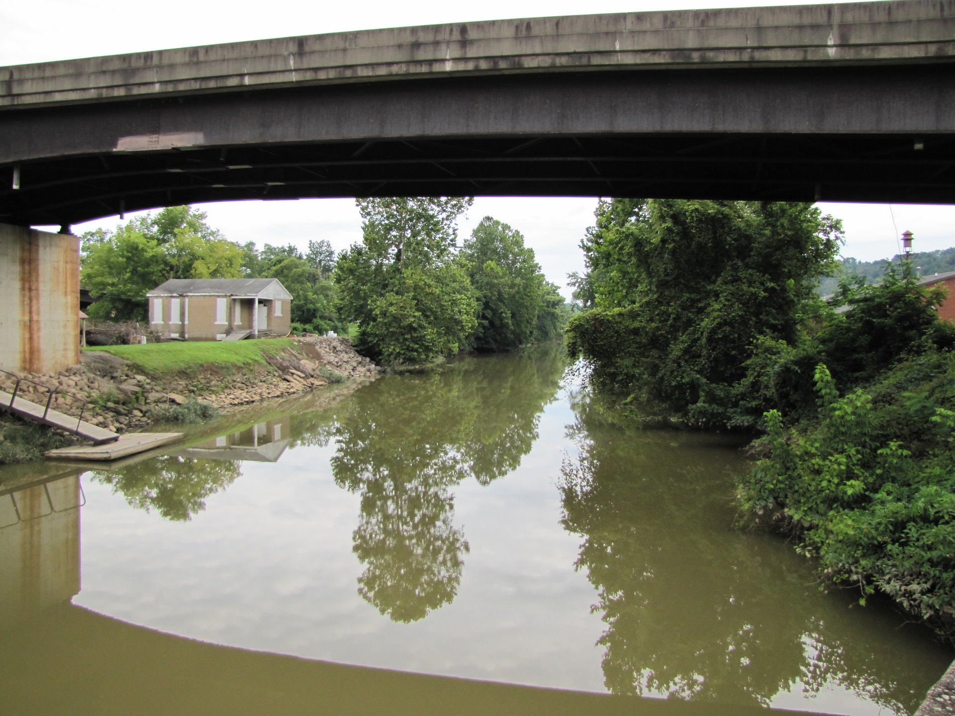
The Muskingum River is navigable from Dresden to Marietta. However, the river channel from Dresden to Ellis is unmarked and difficult to follow. Information on navigation charts can be obtained at the parkway office.
Some of the tributaries which empty into the Muskingum River are also navigable for short distances and provide excellent fishing. The Licking River which joins the Muskingum River in Zanesville, is navigable only by canoe or rowboat.
All three species of black bass (largemouth, smallmouth and spotted), saugeye and various species of catfish are taken from the river. Bass are also found in several tributaries. Fishing is permitted from boats and at each of the lock sites; however, fishing is prohibited from the lock walls. A valid Ohio fishing license is required.


 Share Your Muskingum River Parkway Photos (click here)
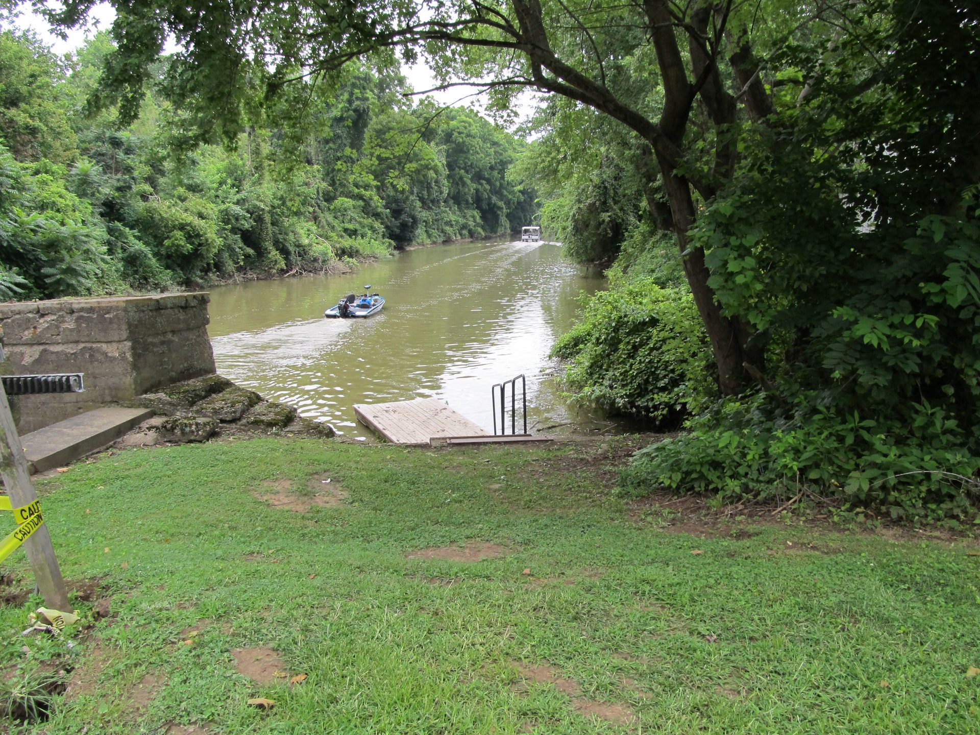