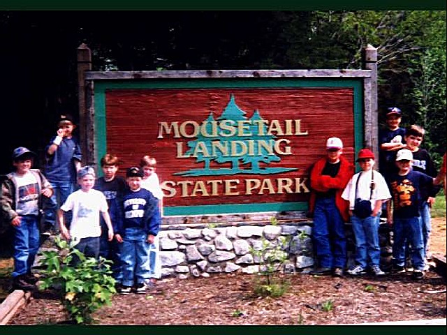
MOUSETAIL LANDING STATE PARK
This 1, 247-acre area is located on the east banks of the Tennessee River in the state's picturesque Western valley. Tradition has it that Mousetail Landing received its name during the Civil War period when one of the area's tanning companies caught fire. The exodus of mice fleeing the burning tannery was so profuse that the area in proximity of the park became known as Mousetail Landing. The scenic Buffalo River flows nearby, providing opportunity for family canoe float trips.
The park campground has a modern bathhouse, laundromat, and electricity/water hookups to 19 of the 24 campsites. A dump station is also located within this area. Spring Creek is a 21-site campground found on the banks of the Tennessee River.
Campsites are equipped with picnic tables and grills. Backcountry camping is allowed but requires a permit.
A swimming beach area has been established on the Spring Creek embayment, a branch of the Tennessee River. Swimming is at your own risk. There is NO lifeguard on duty.
A small stream at the entrance of the park is enjoyable for small children and adults to wade in with its cold, clear water.
There is a boat launch area at the park. This area provides boat access, courtesy pier, Spring Creek campground and fishing from the banks of the Tennessee River. The boat launch area is located approximately 1/2 mile south of the main entrance of the park.
You can fish anywhere in the park where you can get to the water. Many of the Spring Creek campsites are on the edge of the water. Fishing enthusiasts can enjoy catches of bass, bream, crappie, stripe, and catfish.
Mousetail Landing State Park is
There are approximately 25 picnic tables scattered throughout the park, 16 of these tables having grills nearby. Some tables can be pulled together for larger groups. Picnic areas are first-come, first-served with the exception of pavilions.
There is one large pavilion that can accommodate up to 100 people. Reservations for the pavilion can be made up to one year in advance. There is a fee for rental of the pavilion. Also available for rent is 144 sq. ft. gazebo. Contact the park for more information.
The park has one day-use, three mile trail. There is one over night, eight mile trail with two screened in shelters. These backcountry shelters have bunkbeds and each shelter sleeps 8 people. Shelter #2 is on a large limestone bluff overlooking the Tennessee River and Busseltown Wildlife Management Area. Shelter #1 is located in a scenic hardwood forest.
Programs
Programs Offered:
Fossil Program (year-round)
Tree Identification (seasonal)
Wildlife Identification (year-round)
Nature Hikes (year-round)
Fall Color Hike (seasonal)
Park History (year-round)
If a group is interested in a program, please contact the Park Office or the Ranger on duty to schedule a program time.
Birdwatchers can spot species like the Prothonotary Warbler, Bald Eagle and various waterfowl. The park offers guided birding tours.
From Memphis: Take I-40 to Exit 126, south on Hwy 69 14 miles to Parson, TN. Travel East on Hwy 412 for 6 miles and cross the Tennessee River. Take a left on Hwy 438, travel 2.5 miles. The park entrance is on the left.
From Nashville: From Nashville take I-40 West to Exit 143. Take a left on Hwy 13 South nine miles to Lobelville . At the National Guard Armory turn right on Hwy 438 and follow to Park Entrance (approx 17 miles on Hwy 438).


 Share Your Mousetail Landing State Park Photos (click here)
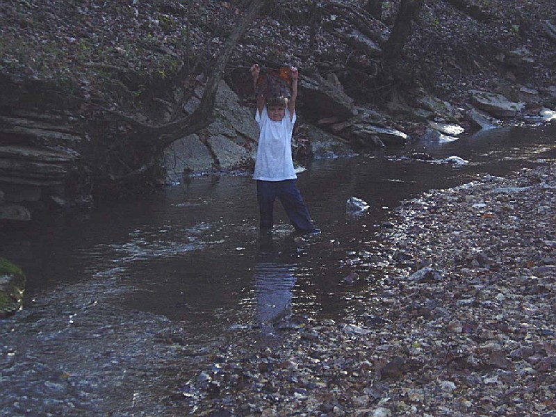