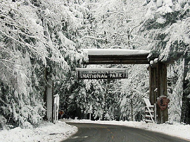
MOUNT RAINIER NATIONAL PARK
MOUNT RAINIER NATIONAL PARKTahoma Woods, Star Route
Ashford, Washington 98304-9751
Email:

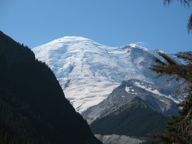
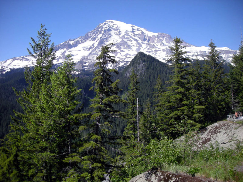
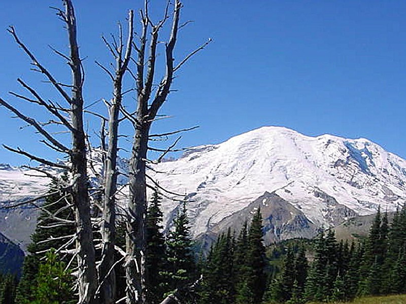
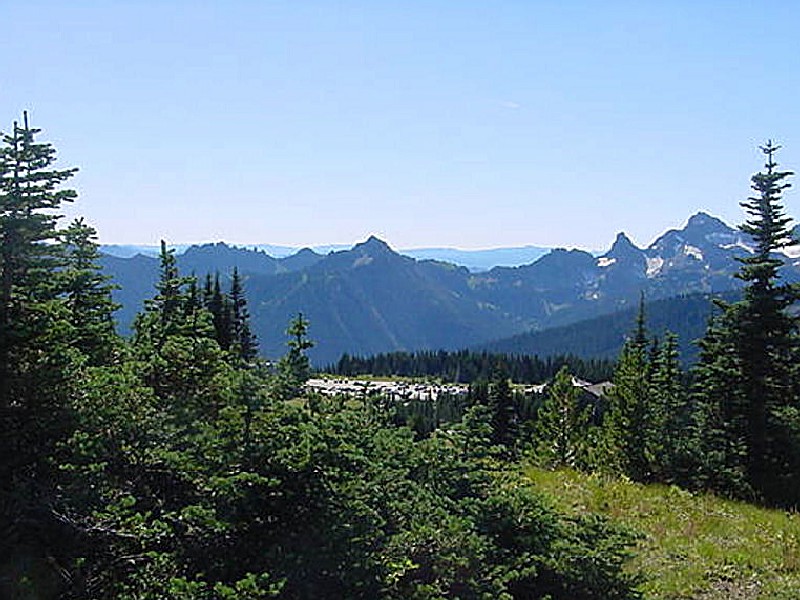
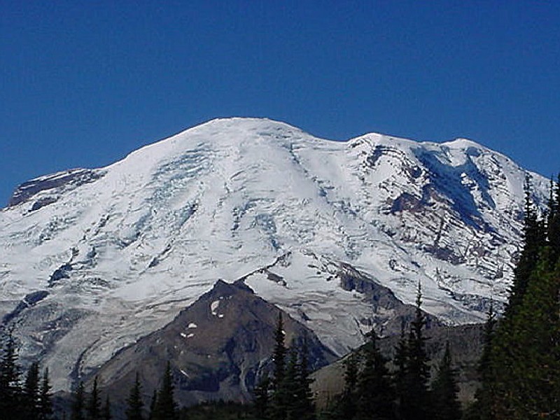
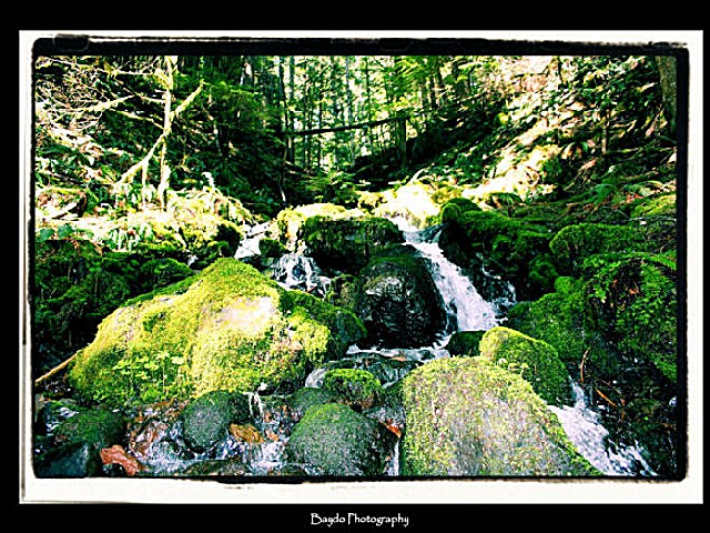
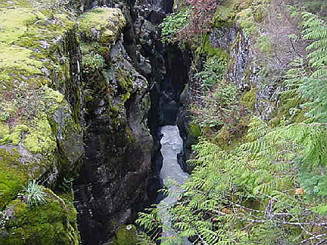
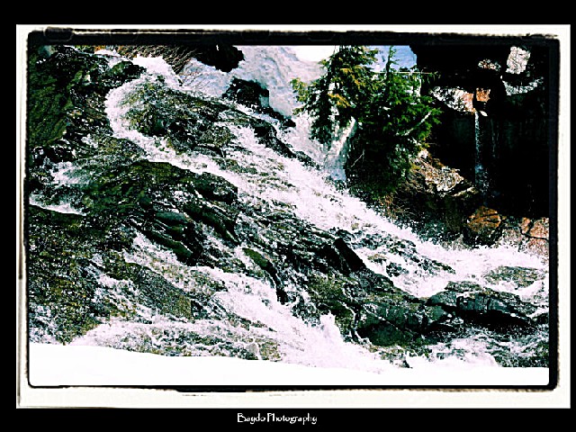
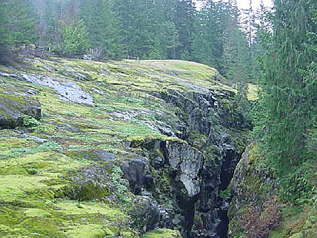
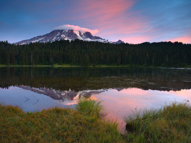
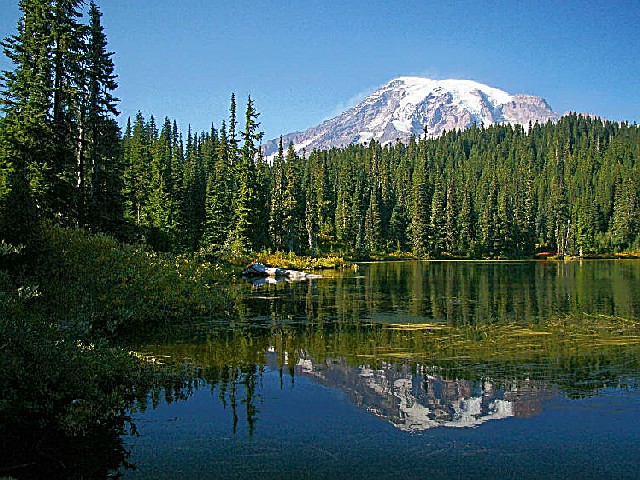
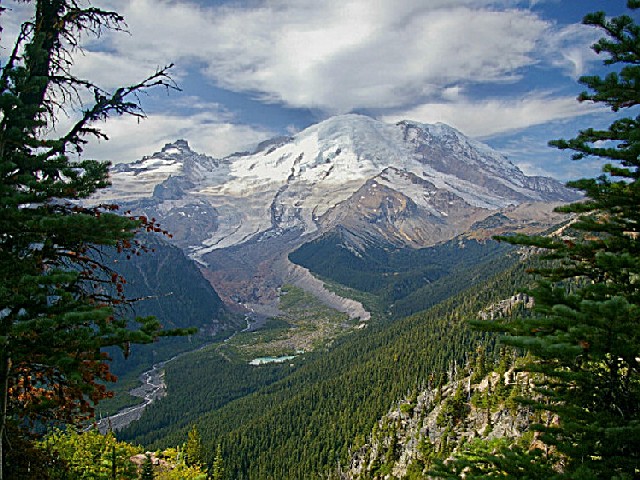
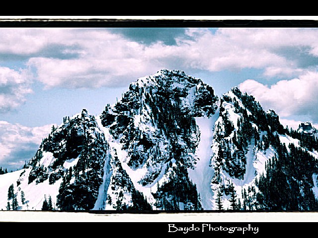
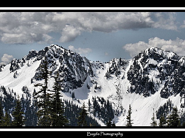
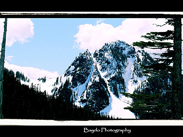
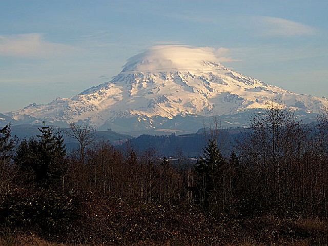
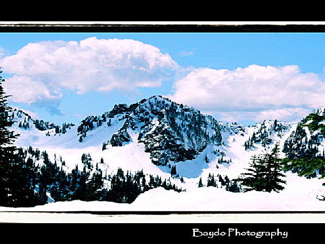
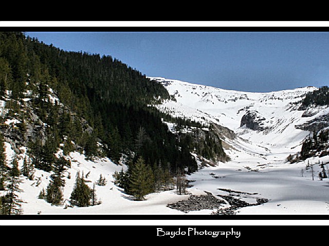
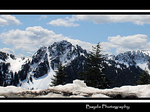
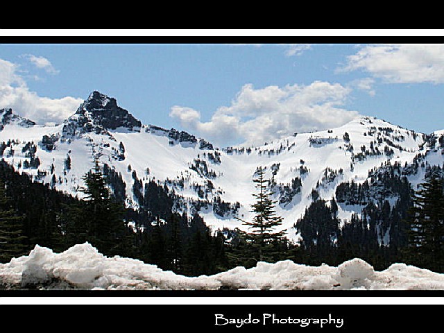
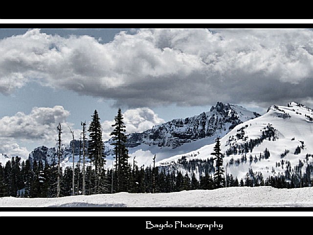
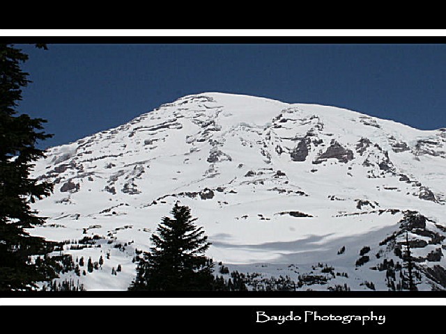
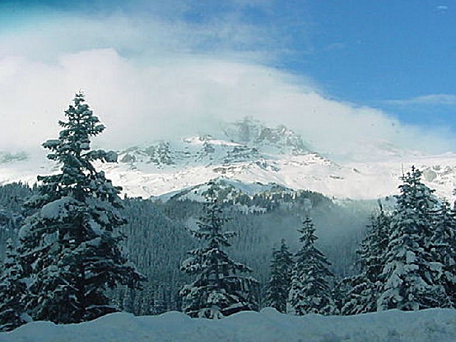
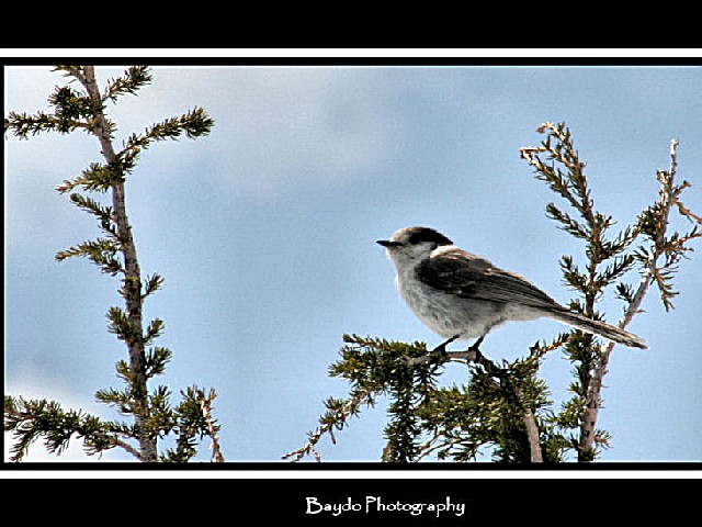
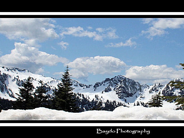
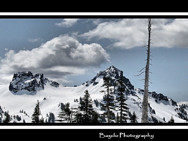
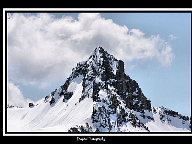
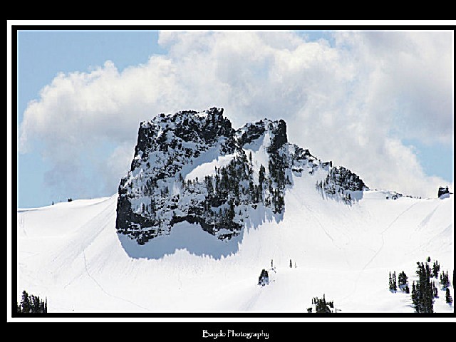
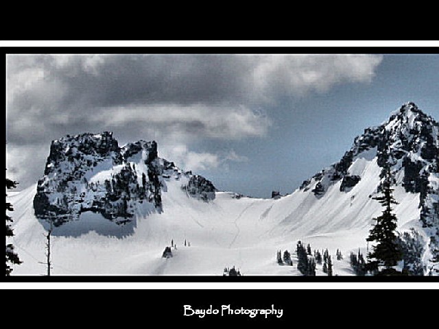
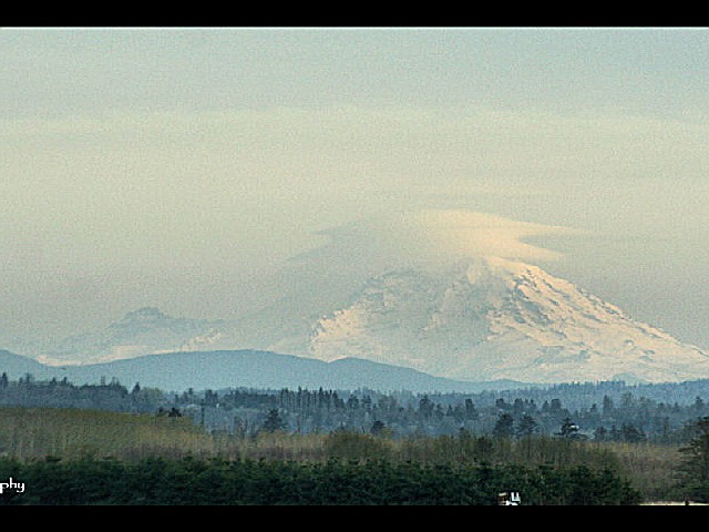
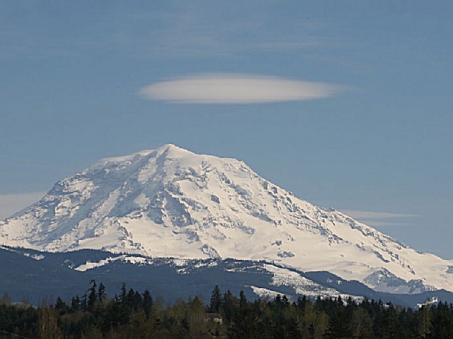
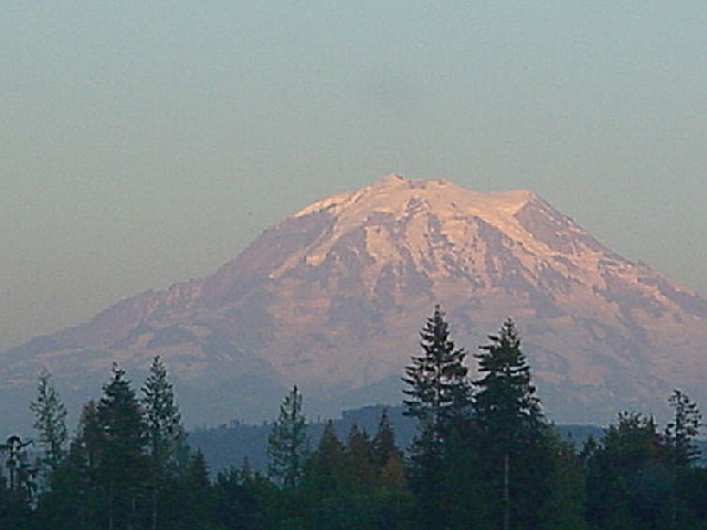
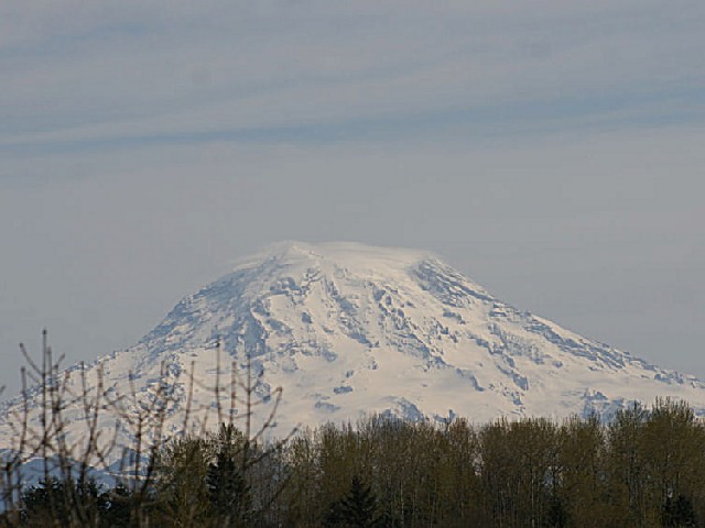
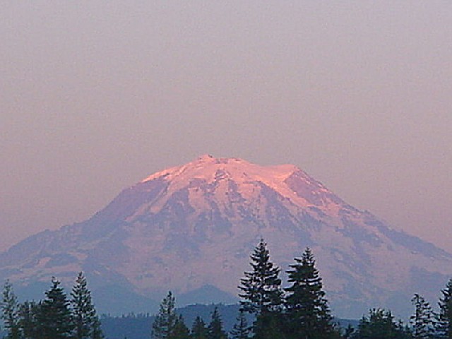
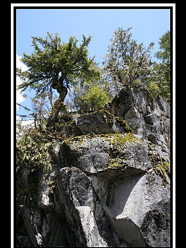
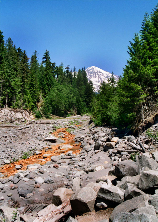
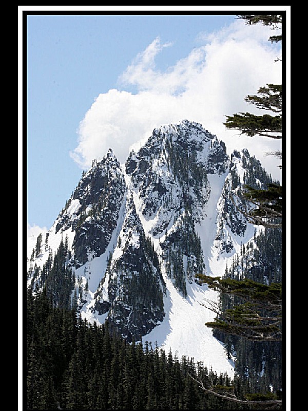
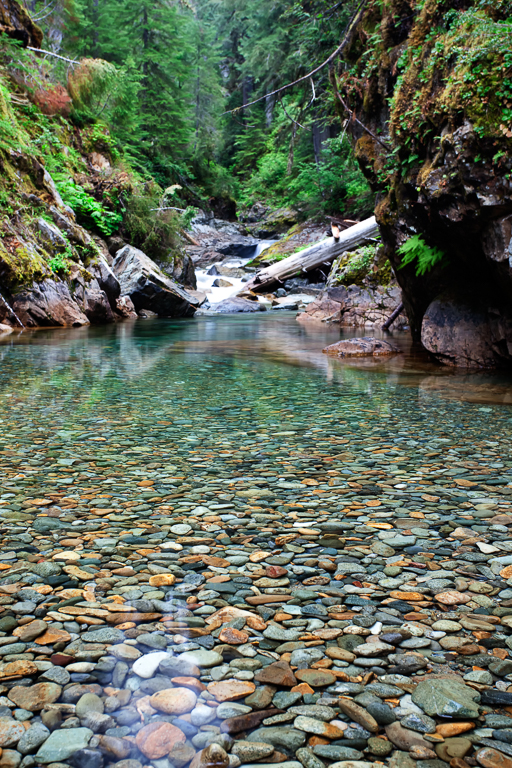
Established in 1899. 235,625 acres (97% is designated Wilderness). Includes Mount Rainier (14,410'), an active volcano encased in over 35 square miles of snow and ice. The park contains outstanding examples of old growth forests and subalpine meadows.
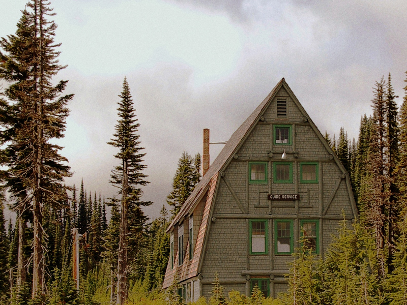
Designated a National Historic Landmark District in 1997 as a showcase for the "NPS Rustic" style architecture of the 1920s and 1930s.
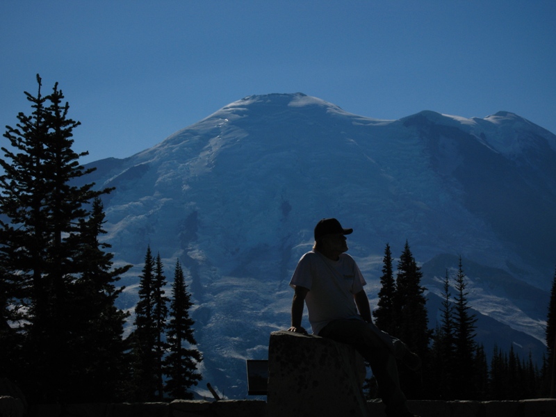
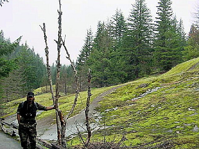
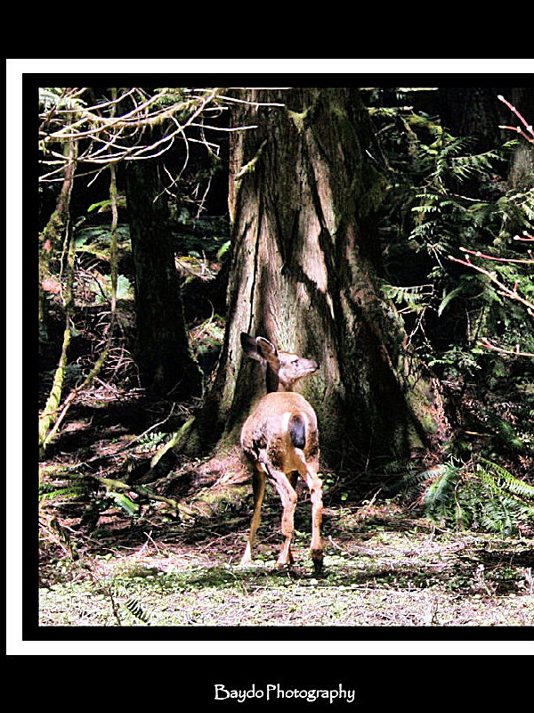
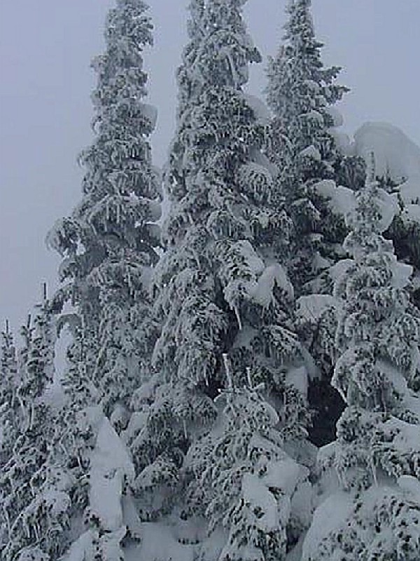
Whether hiking on its flanks, climbing its summit, snowshoeing or cross-country skiing on its slopes, camping along its glacier-fed rivers, photographing wildflower displays in subalpine meadows, or just admiring the view, nearly two million people come to enjoy the grandeur and beauty of Mount Rainier each year.
 Cougar Rock Campground
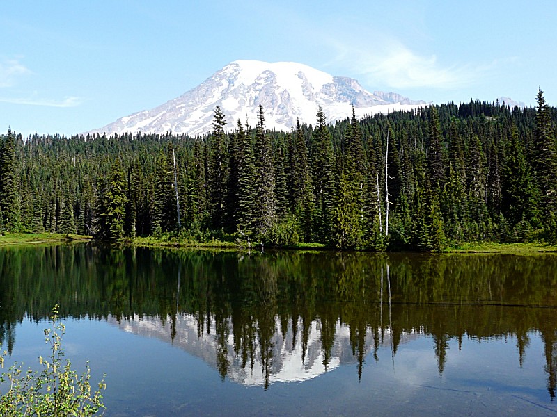
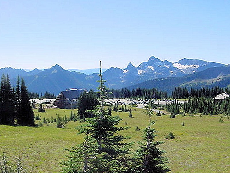
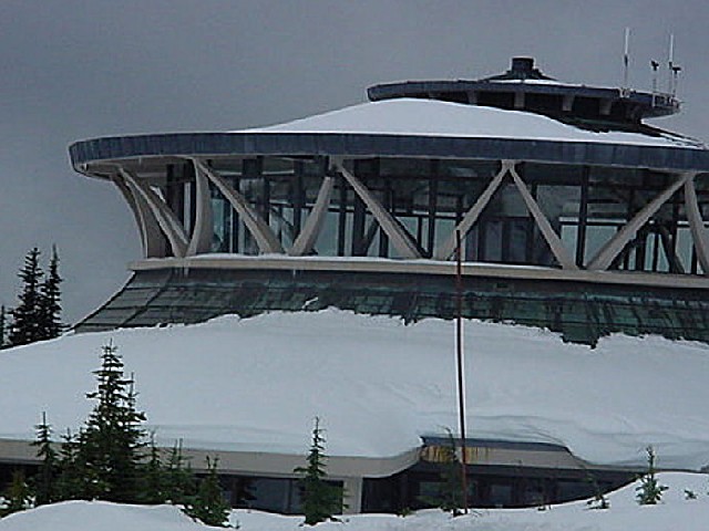
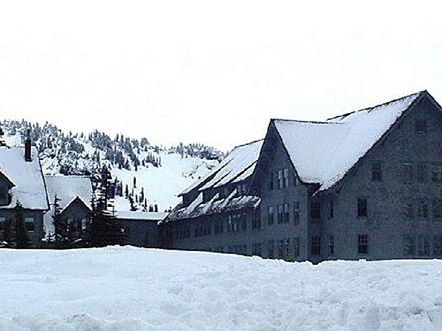
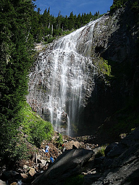
Cougar Rock Campground, on the southwest side of Mt. Rainier National Park, is convenient to the Paradise area. Paradise is the most popular destination in the park, with a lodge and visitor center, many miles of hiking trails and a commanding view of the mountain-the highest in the state and Cascade range.
The main attraction at Mount Rainier National
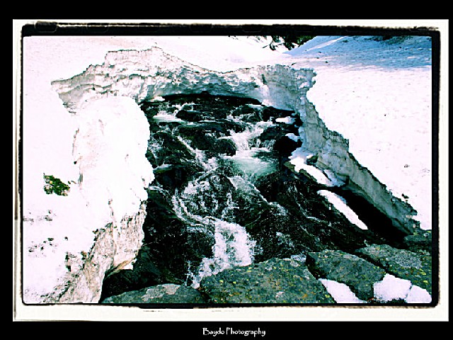
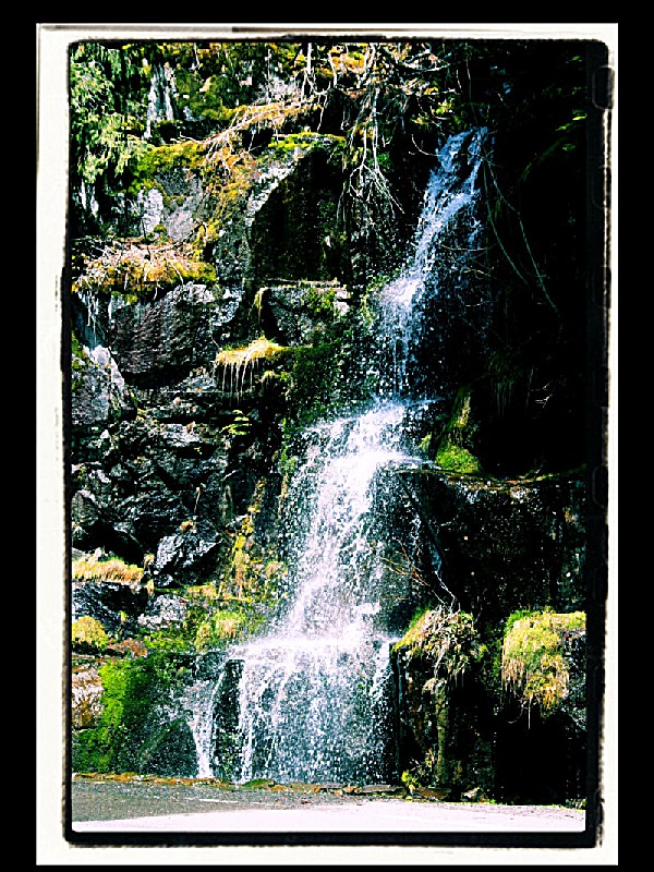
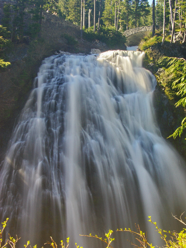
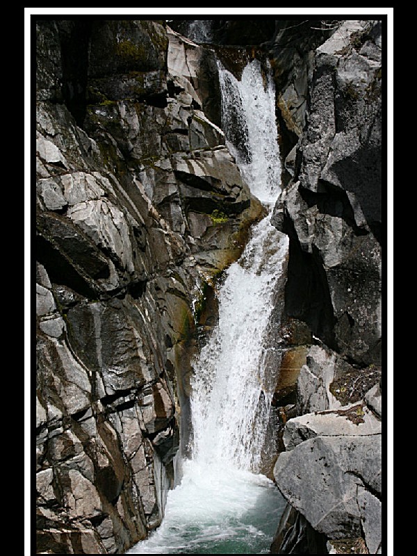
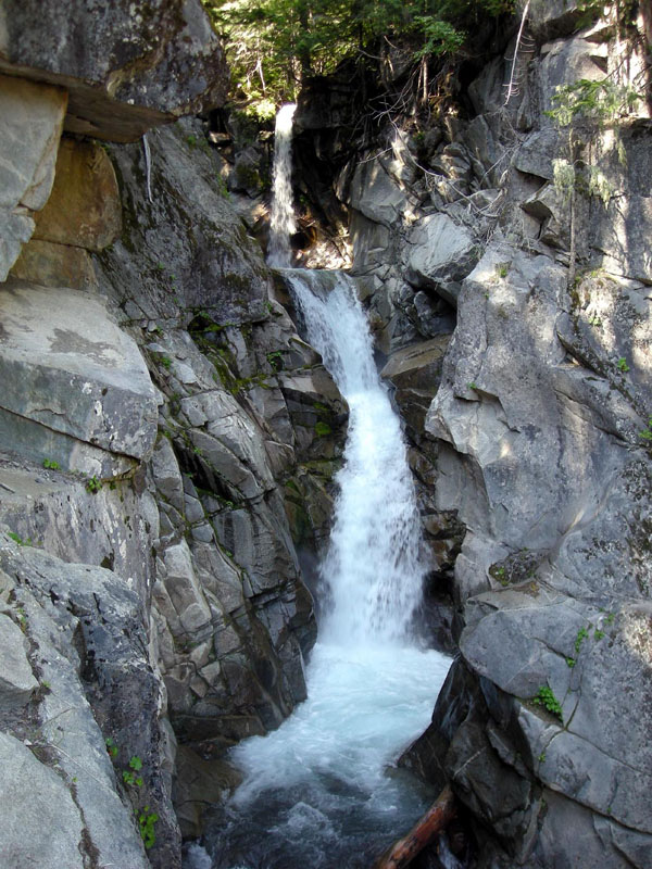
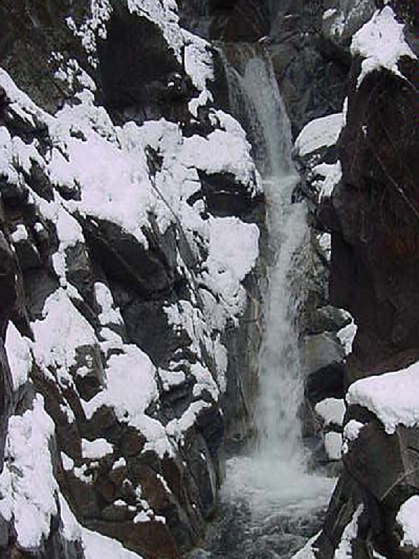
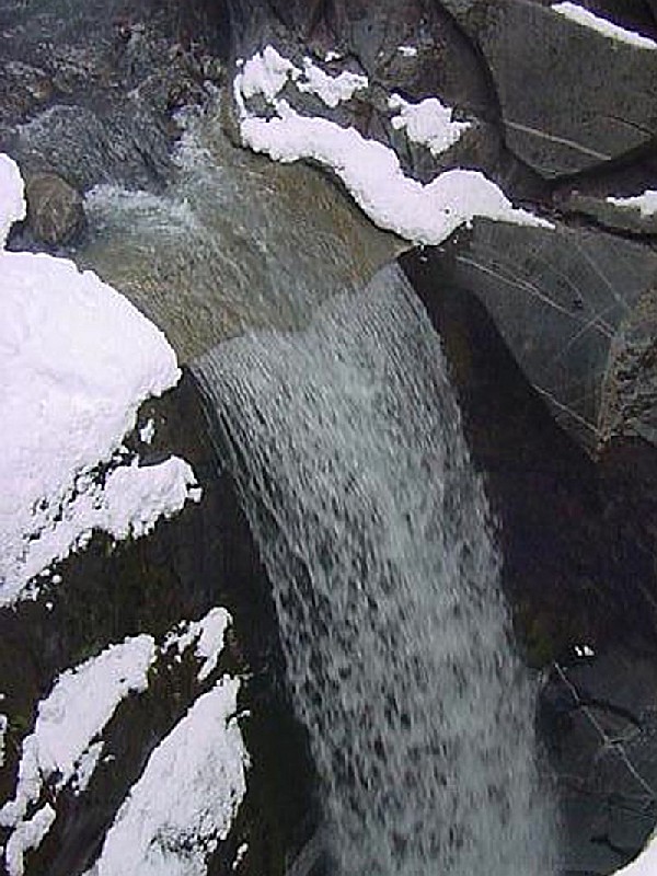
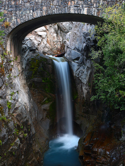
....moreOhanapecosh Campground Ohanapecosh Campground, on the southeast side of Mount Rainier National Park, is surrounded by old growth forest and crossed by an exceptionally beautiful snow-fed river. Close to Ohanapecosh are popular hikes to Silver Falls and the Grove of the Patriarchs.
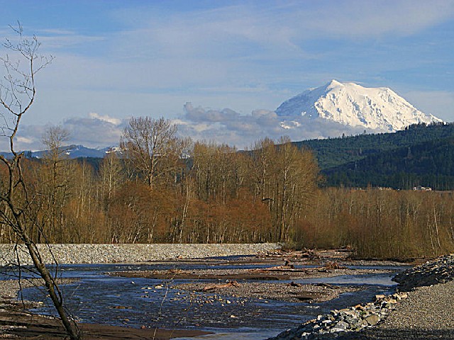
The main attraction at Mount Rainier National Park is the mountain itself, a glacier-clad volcano
....more White River Campground White River Campground is available on a first come first serve basis.
The campround sits at 4,440 ft in elevation, 1200 ft higher than any other campground with amenities in Mount Rainier National Park. For this reason, winter lingers long and comes early. White River often opens at the end of June or early July and stays open in late September. The
....more Day-UseFishingyes
Hiking Trailyes
Picnickingyes
Fishing:
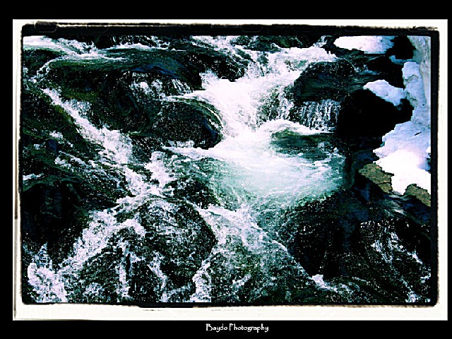
Mount Rainier National Park isn't known for its fishing, so don't be disappointed if you fail to catch fish, or if the fish are small. Experience tells us that anglers' success is often less than anticipated.
Fish are not native to park lakes but some still survive as a result of past fish stocking efforts. Consequently, there are no limits on the number of fish that can be taken from park lakes.
Native fish are found in park streams and we encourage you to use barbless hooks and artificial lures and to release uninjured fish.Regulations Park fishing regulations for streams are generally in accordance with those of the surrounding area waters of the State of Washington. Differences and specific closures which anglers should be familiar with are included in the information below.
Fishing for bull trout and Chinook Salmon, both federally listed threatened species in the park, is prohibited.
Most lakes are ice-free only mid-July through October. Lakes and ponds, open the last weekend in April through late October. Rivers, streams and beaver ponds, open late May or early June through late October. Please check the Washington State Fishing Regulations for exact dates and more detailed information.
Limits: No limits for fish from park lakes, for park streams:
Daily catch: Six pounds and one fish, not to exceed 12 fish. Possession: 1 day's limit Minimum size: none
License: No license or permit required in the park.
Fly Fishing: The Ohanapecosh River and its tributaries are open to fly fishing only. The use of bait or other lures except artificial flies is not permitted.
Mount Rainier National Park is located near Buckley, Enumclaw and Orting
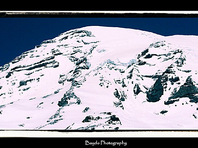
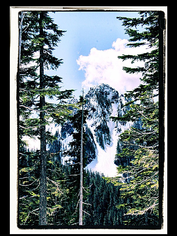
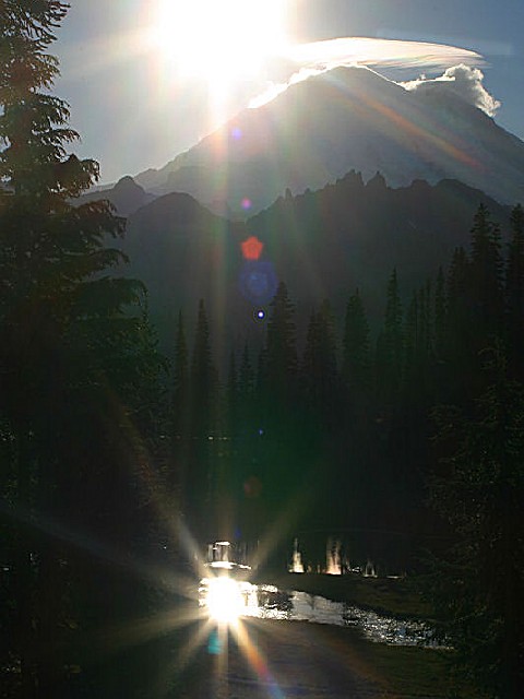
Mount Rainier, the most heavily glaciated peak in the contiguous United States, offers an exciting challenge to the mountaineer. This 14,410 foot active volcano is successfully climbed each year by thousands of people.
Reaching the summit requires a vertical elevation gain of more than 9,000 feet over a distance of eight or more miles. Climbers must be in good physical condition and well prepared. Proper physical conditioning can offset the effects of fatigue that lead to mistakes and injuries.
Weather, snow, and route conditions can change rapidly and can make the difference between a pleasant and rewarding experience or tragedy. Obtain a current weather forecast before beginning a climb. Turn back if weather conditions deteriorate. Severe winter-like storms on the mountain are not uncommon during the summer. Use this website to gather updated information on weather, route conditions, crevasses, rockfall, avalanche information, and Climbing Permits, Fees, and Regulations. If you are unable to find what you are looking for, climbing rangers may be reached by calling 360-569-2211, ext. 2314.
Permits, Fees and Reservations:
Climbers must register to travel above 10,000 feet or onto glaciers. Primary registration locations are the Paradise Ranger Station, White River Wilderness Information Center, and the Wilkeson Wilderness Information Center. The climbing fee is $30 per person per calendar year. Passes purchased in November and December are valid for the following calendar year. The fee is payable when registering. Climbing fees help recover costs for protecting the mountain's delicate and unique alpine environment, staffing the mountain's high camps and ranger stations with climbing rangers, managing upper mountain human waste and providing rangers who can rapidly respond to incidents on the mountain. For more information on climbing fee check out FAQ's about Climbing Fees
An in-park Wilderness Reservation System is available for climbers and backpackers planning trips during the May 1 to September 30 period. A reservations office is staffed at the Longmire Wilderness Information Center during the summer months. Beginning April 1st, reservations can be made by printing and completing a Reservation Request Form and faxing it to (360) 569-3131 or mailing it to: Wilderness Reservations Office, Tahoma Woods Star Route, Ashford, WA 98304. Tel. (360) 569-HIKE. There is a $20 reservation fee for advance reservations. This fee is in addition to the climbing permit fee and does not guarantee a spot in the public shelter at Camp Muir. Reservations can be made for trips between May 1st and September 30th.
Bench Lake Trail (2.5 miles) in the Paradise area;
Burroughs Mountain Trail (7 miles) in the Sunrise area;
Camp Muir Trail (9 miles) in the Paradise area;
Carbon Glacier Trail (7 miles) in the Carbon River area;
Carbon River Rain Forest (.3 mile) in the Carbon River area;
Comet Falls Trail (3.8 miles)in the Longmire area;
Crystal Lakes Trail (6 miles) 4 miles north of Cayuse Pass;
Eagle Peak Trail (7.2 miles) in the Longmire area;
Emerald Ridge Trail (17.2 miles) on the Westside Road;
Family Day Trails & Nature Trails (.3 to 7 miles);
Glacier Basin Trail (7 miles) in the White River Campground;
Gobblers Knob Trail (12.8 miles) on the Westside Road;
Golden Lakes Trail (34.5 miles) on the Westside Road;
Green Lake Trail (3.6 miles) in the Carbon River area;
Grove of the Patriarchs Trail (1.5 miles) near the Stevens Canyon Entrance;
Indian Bar Trail (14.5 miles) on the Stevens Canyon Road;
Indian Henrys Hunting Ground (11.5 miles) via Kautz Creek Trail;
Indian Henrys Hunting Ground (13 miles) from the Longmire area;
Klapatche Park Trail (21 miles) on the Westside Road;
Lake George Trail (9.8 miles) on the Westside Road;
Lake James Trail (17 miles) in the Carbon River area;
Life Systems Trail (.5 mile) at Ohanapecosh;
Moraine Park Trail (11 miles) in the Carbon River area;
Mount Fremont Lookout Trail (5.5 miles) in the Sunrise areaMystic Lake Trail;(15.8 miles) in the Carbon River area;
Naches Peak Loop Trail (3.5 miles) in the northeast areaNarada Falls Trail (9 miles) in the Longmire area
Nisqually Vista Trail (1.2 miles) in the Paradise areaNorthern Loop Trail (35 miles) in the Carbon River area;
wyhigh Lakes Trail (7 miles) near the White River Entrance;
Pacific Crest Trail (10.5 miles) in the northeast area
Palisades Lakes Trail (7 miles) in the Sunrise Area;
Pinnacle Peak Trail (2.5 miles) on the Stevens Canyon Road;
Rampart Ridge Trail (4.6 miles) in the Longmire area;
Shadow Lake Trail (3 miles) in the Sunrise area;
Shriner Peak Trail (8 miles) north of the Stevens Canyon Entrance;
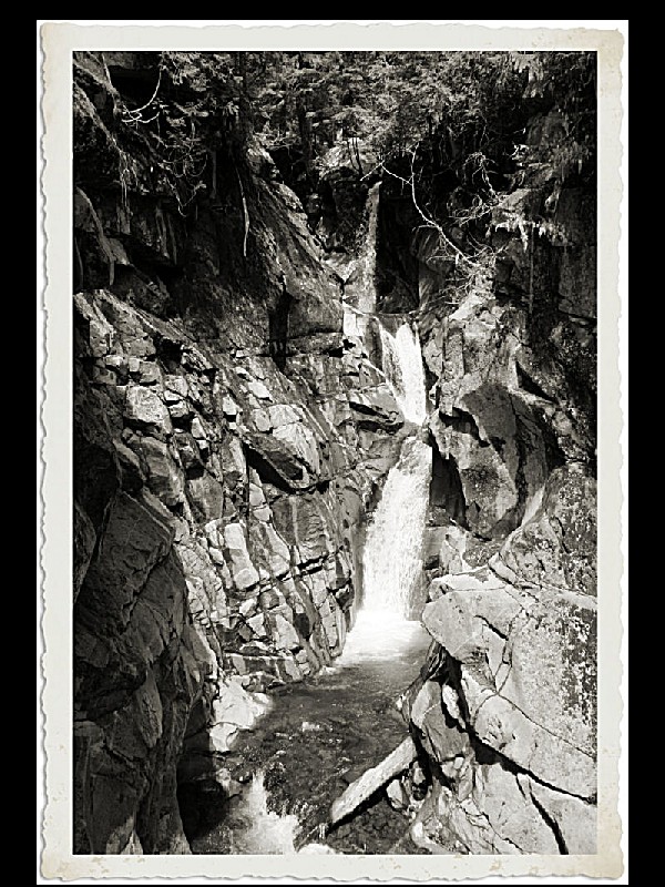
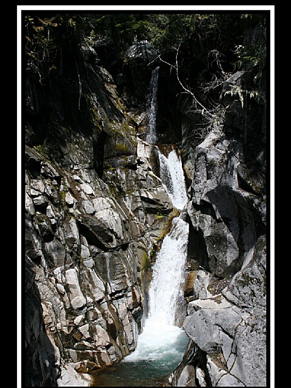
Silver Falls Trail (3 miles) from the Ohanapecosh Campground;
Skyline Trail (5 miles) in the Paradise area;
Snow Lake Trail (2.5 miles) in the Paradise area;
Sourdough Ridge Trail (1 mile) in the Sunrise area;
Spray Park Trail (6 miles) in the Mowich Lake area;
Summerland Trail (8.5 miles) near the White River Entrance;
Three Lakes Trail (12 miles) in the Ohanapecosh area;
Tolmie Peak Trail (6.5 miles) in the Mowich Lake area;
Trail of the Shadows (.5 mile) in the Longmire area;
Van Trump Park Trail (5.8 miles) in the Longmire area;
Windy Gap Trail (14 miles) in the Carbon River area;
Wonderland Trail (93 miles) encircling Mount Rainier;
Plane - Closest airports served by major airlines are Seattle, WA (85 miles), Yakima, WA (115 miles), and Portland, OR (168 miles). Mileages are one-way, to/from Ashford, WA. Rental cars are available at airports.
Car - Year-round access to the park is via SR 706 to the Nisqually Entrance in the SW corner of the park. Limited winter access is available via Hwy. 123 in the SE corner of the park. The Carbon River/Mowich Lake area (NW corner) is accessed via SR 165 through Wilkeson. Summer access is available via Hwy. 410 on the N and E sides of the park.
Public Transportation - There is no public transportation to or in Mount Rainier National Park.
Private carriers provide bus and van service. Gray Line Tours (800-426-7532 or 206-626-5208) offers daily trips from Seattle to Paradise from May 1 to September 30. Rainier Shuttle (360-569-2331) offers daily shuttle service from SeaTac Airport to Ashford or Paradise from May 3 to October 10. Ashford Mountain Center (360-569-2604) offers shuttle services from June through September to/from Sea-Tac airport and destinations within the park.


 Share Your Mount Rainier National Park Photos (click here)
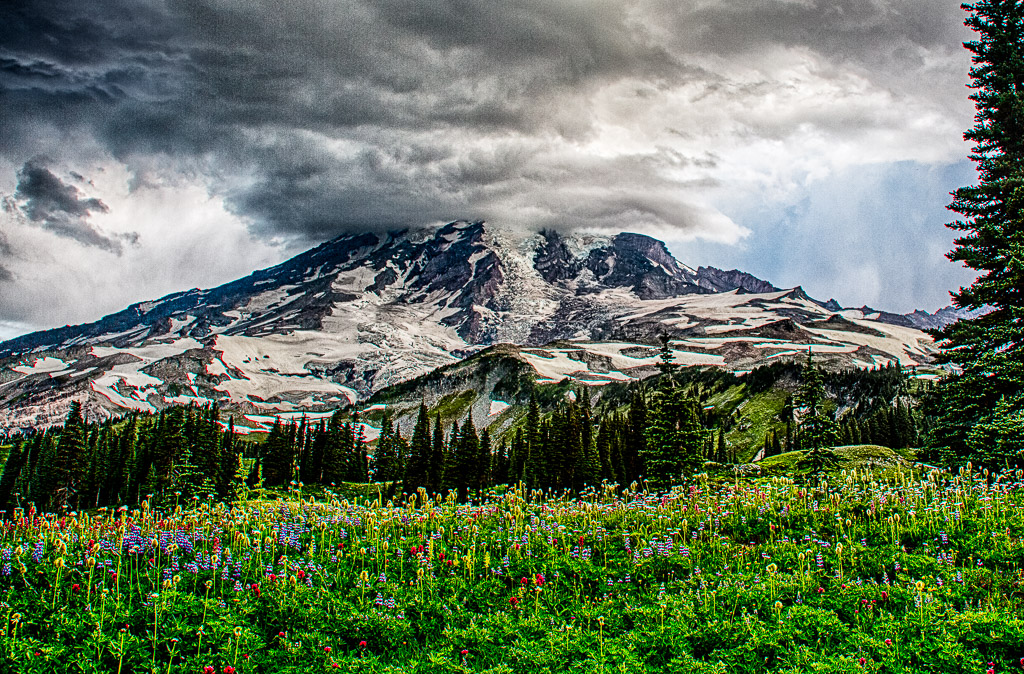