State Park Location Maps:
 (click here to zoom and navigate local map)
 (click here to zoom and navigate regional map)
View TOPO Maps!
Get directions to this park:
State Park Photo Gallery:
volunteer positions open
State Park Link: Mount Pilchuck State Park
Nearby Parks: Mount Pilchuck State Forest Mount Baker National Forest Ranger Station Wallace Falls State Park
|
| State Park Contact Information: |
 |
Mount Pilchuck State Park
|
| Adopt-A-Park Contacts: |
 |
Photography: add your photos
|
|
| State Park Overview: |
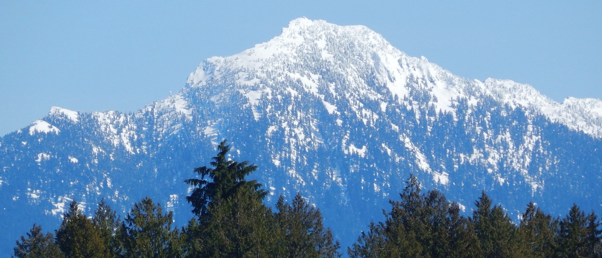
 | Mount Pilchuck State Park is a 1,893-acre day-use park that features mountainous alpine terrain with diverse scenic and recreation attractions. The main recreational attraction of the park is the three-mile trail to the summit and the old fire lookout. The trail begins at 3100 feet above sea level and winds through an old growth forest to alpine heather and large rocks at the summit of Mount Pilchuck (5324 feet above sea level). The hike is strenuous and in the summer can be very crowded. At the top is an incredible panoramic view of the Cascades, Olympics and Puget Sound. The trail is usually covered with snow until midsummer. The park's most notable feature is a fire lookout building that sits atop the mountain. The fire lookout is on the National Historic Building register and has five interpretive plaques which identify the mountains seen from the building. There also are displays about the history of the lookout.
Park hours/updates: The park is open year round with no restrictions on hours. The trailhead area and first 3/4 mile of the trail are on U.S. Forest Service (USFS) property and require a USFS trailhead parking pass. |
| Nature of the Area: |
| Wildlife Mammals Birds Fish & Sea Life? Bears? Chipmunks? Coyotes? Deer or Elk? Foxes? Marmots? Marten? Squirrels? Crows or Ravens? Eagles? Grouse? Hawks? Hummingbirds? Jays
Environmental Features Physical Features Plant Life ? Douglas Fir? Hemlock |
| Reviews By Park Visitors: |
 | Be the 1st to Review Mount Pilchuck State Park. You can rate it, post a comment on it, or do both. |
 | |
| Picnicking: |
| There is a small uncovered picnic and camping area near the trailhead. |
| History of the Area: |
| The word "Pilchuck" comes from the Native American name "red water," for a creek in the area. Mount Pilchuck was likely among the "long ridge of snowy mountains" as described in the journal of English explorer George Vancouver during the spring of 1792. This peak stands well apart from the main Cascade Mountain range. In 1918, the Forest Service built a fire lookout on Mount Pilchuck's summit. The Lookout was staffed until the 1960s. From 1957 to 1980, Washington State Parks administered a ski area here that was run by a concessionaire. The ski area closed in 1980 due to poor annual snow conditions. The area currently is managed in partnership with the USFS and Everett Mountaineers. The Forest Service maintains the trail and trailhead, and State Parks and the Mountaineers maintain the historic lookout building. |
 | |
| |
|  | Advertise your park related business on stateparks.com
...vacation cabin, weekend getaway, log cabin rental, romantic cottage, vacation home, resort, hotel, motel, bed and breakfast, country inn, campground, RV park, horseback riding stable, canoe livery, river rafting, outfitting, sporting goods store, guide service, RV rental, etc read more.... |
|
| Related Links: |
| Area Attractions: |
| Other ? Bird Watching? Mountain Climbing? Rock Climbing? Wildlife Viewing
Mount Pilchuck has geological significance as being a mountain of shale rock. A number of lakes and streams linked by a series of trails provide visitors alpine fishing and hiking. The higher elevation provides snowshoeing, and mountain climbing in winter months.
Winter Recreation ? Snowshoeing |
| Area Campgrounds | | |
| Directions: |
| Access from either north or south: Take I-5 to Snohomish-Wenatchee exit 194. Drive east on Highway 2 for six miles and then north on Highway 9, following signs to Granite Falls. Continue east on the Mountain Loop Highway 11 miles to Verlot. From the Verlot Forest Service Ranger Station, travel one more mile east on the Mountain Loop Highway and turn right (south) onto Forest Service Road 42. Continue 6.9 miles to the trailhead. |
 |
| |
| |
|