MINGO NATIONAL WILDLIFE REFUGE
MINGO NATIONAL WILDLIFE REFUGE24279 State Highway 51
Puxico, Missouri 63960
Email:

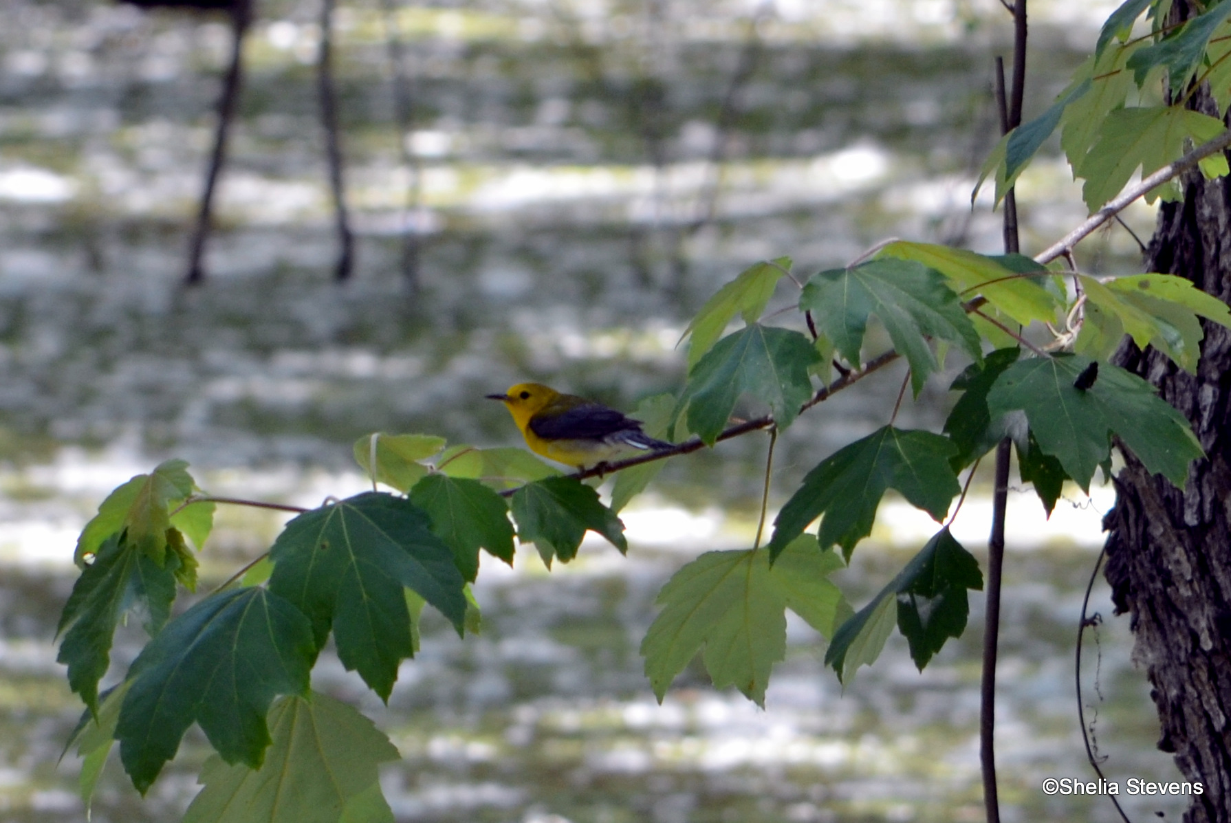
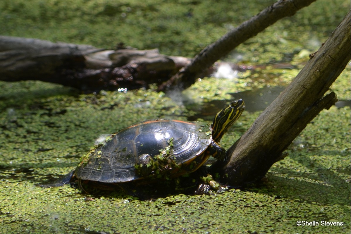
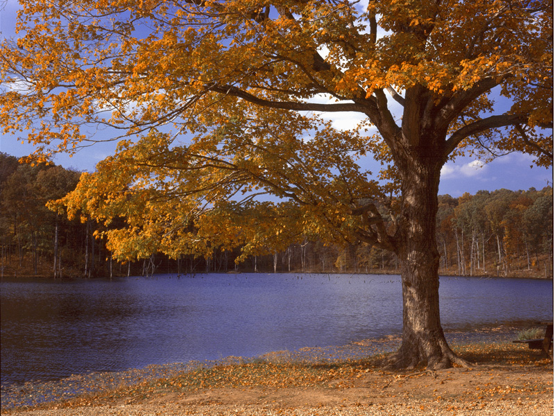
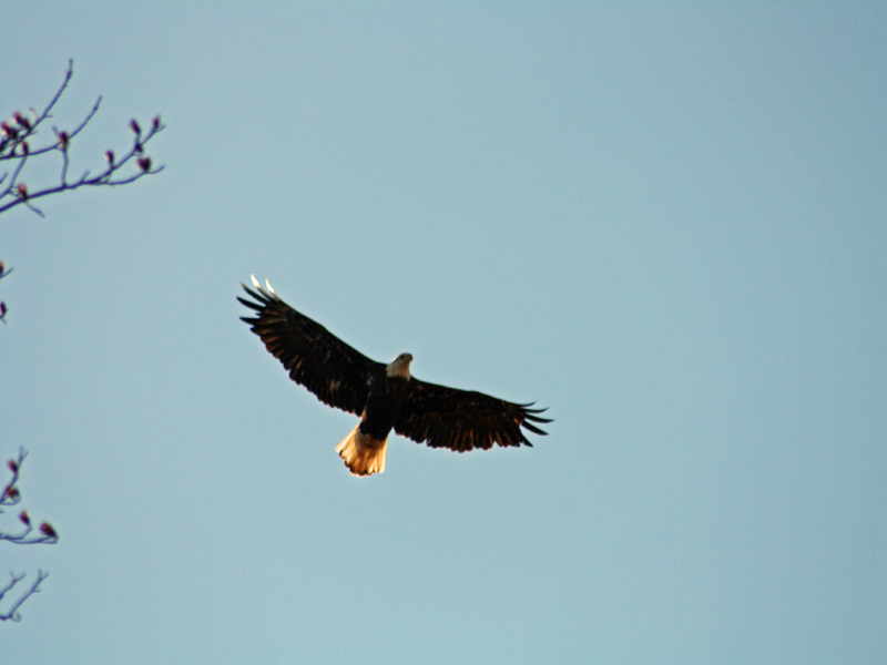
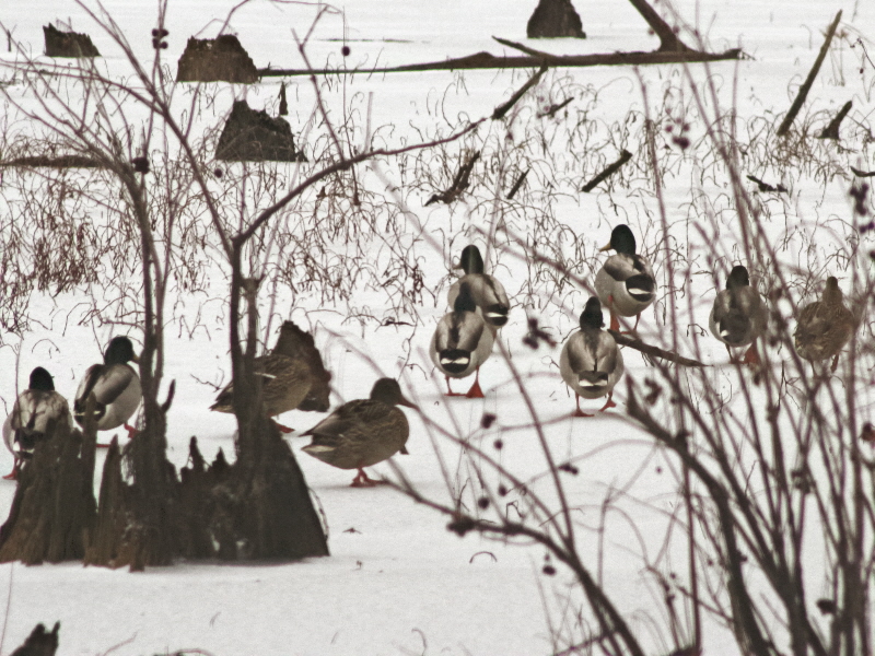
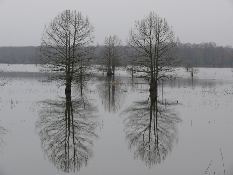
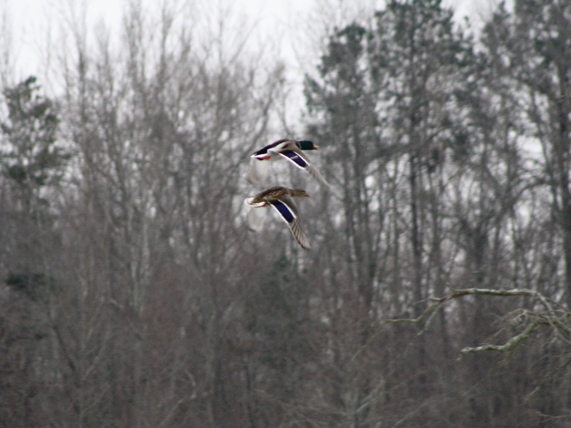
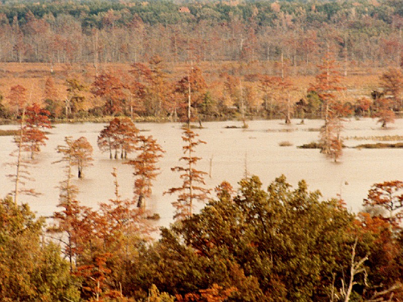
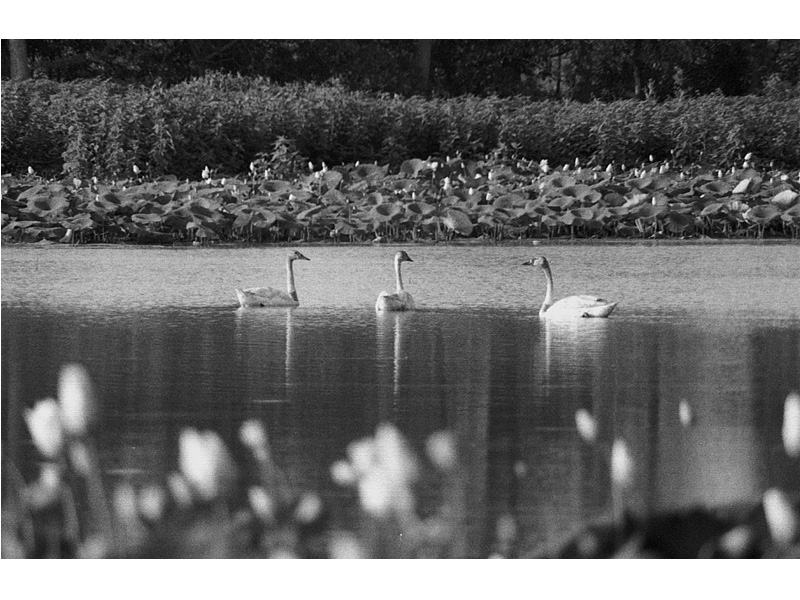
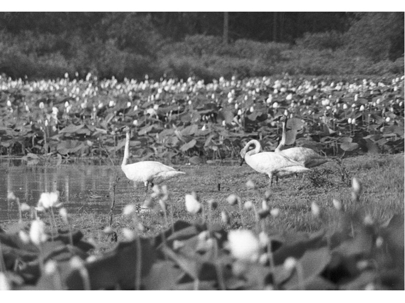
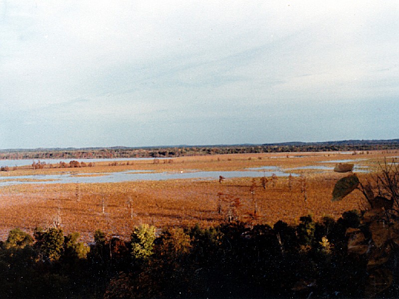
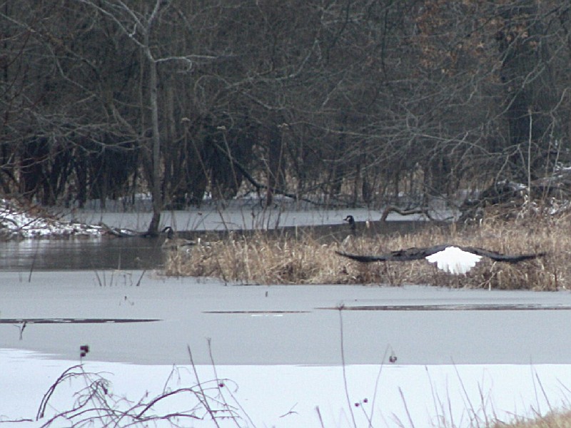
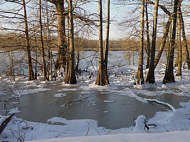
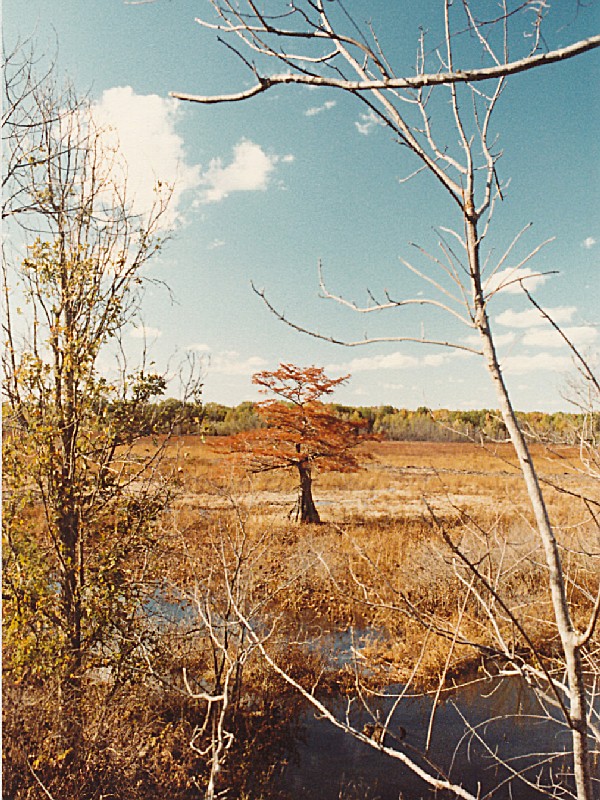
Located in the upper end of the lower Mississippi River valley, Mingo National Wildlife Refuge, at 21,676 acres, is the only large remnant of bottomland hardwoods remaining out of an original 2 1/2 million acres in the Missouri bootheel. A major migration and wintering area for migratory waterfowl, populations of 125,000 mallards and 75,000 Canada geese have been recorded. Bald eagles have been successively nesting on the refuge since 1985.
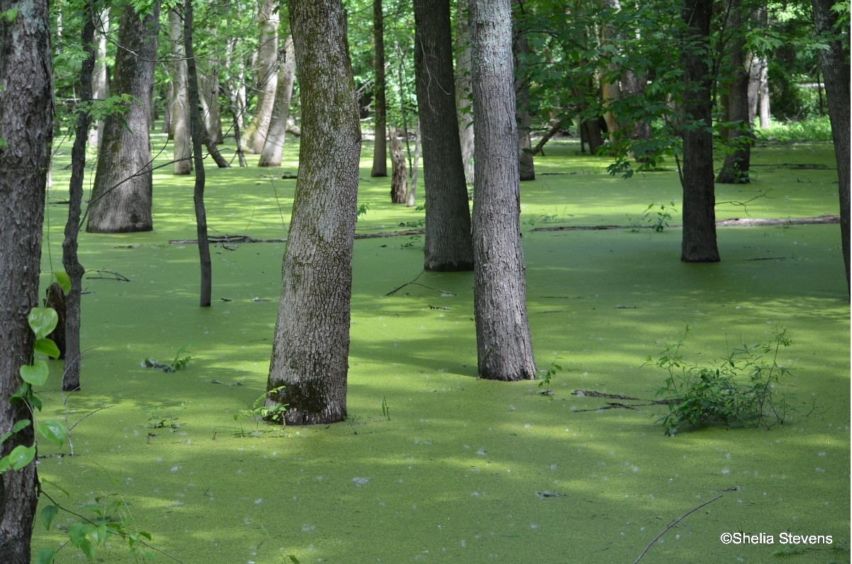
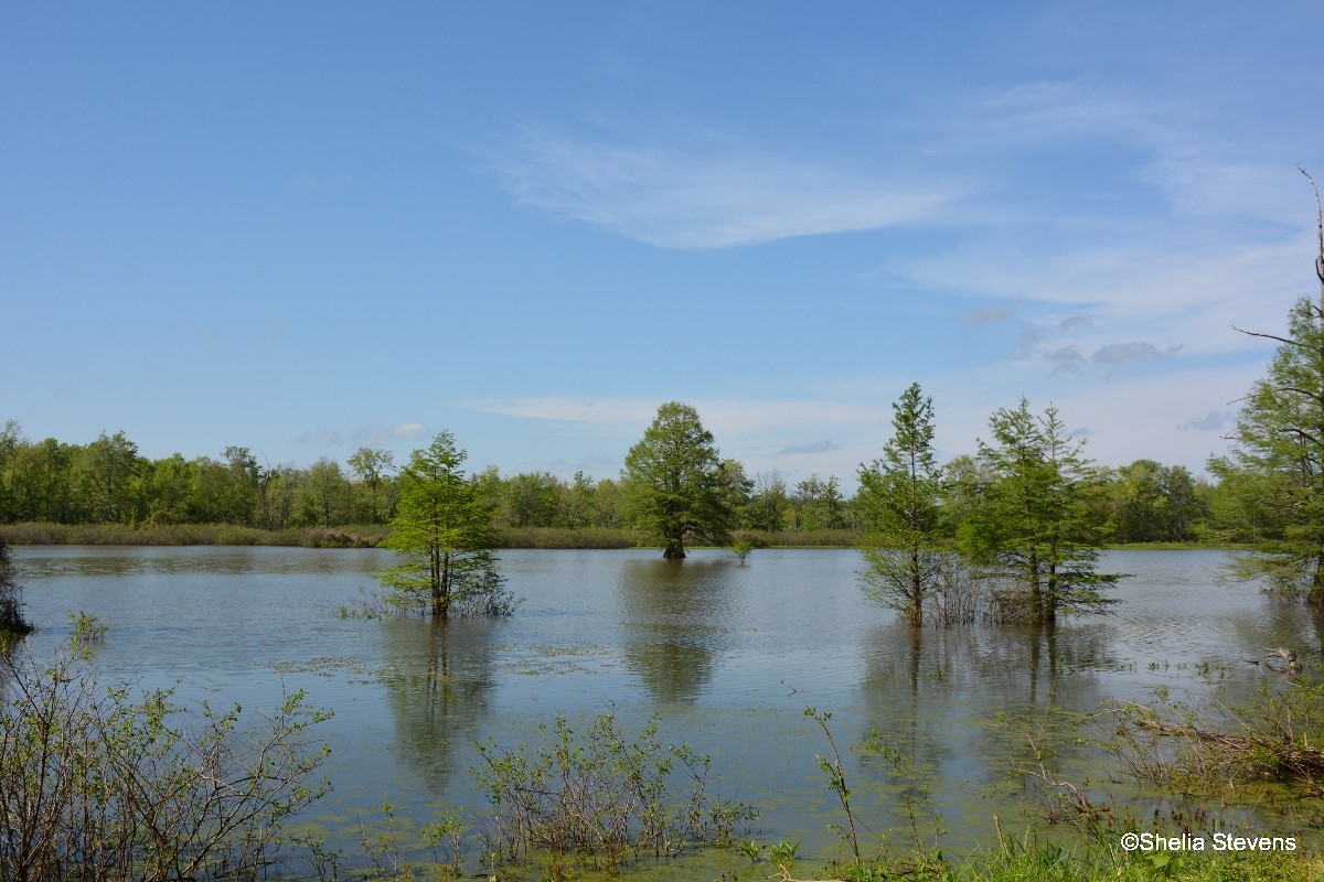
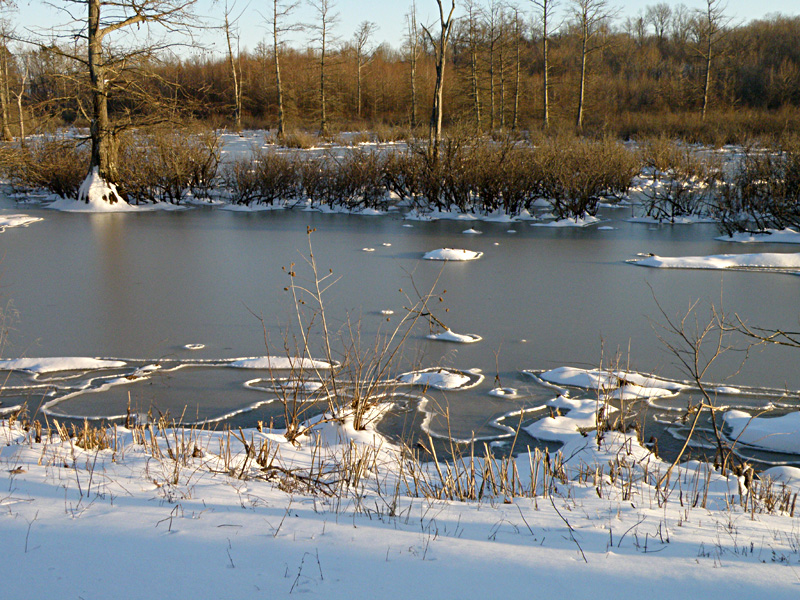
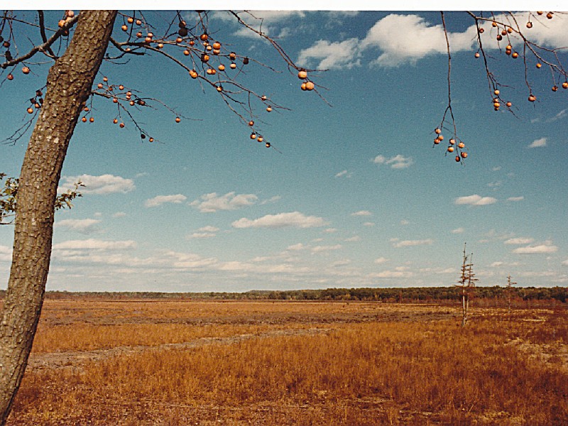
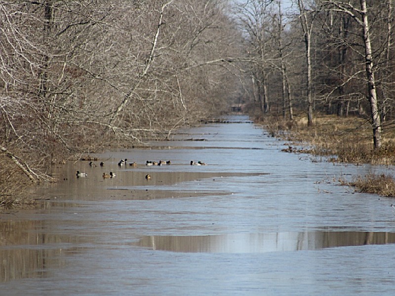
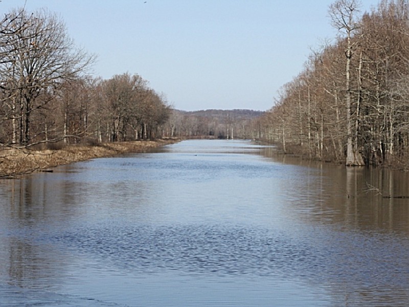
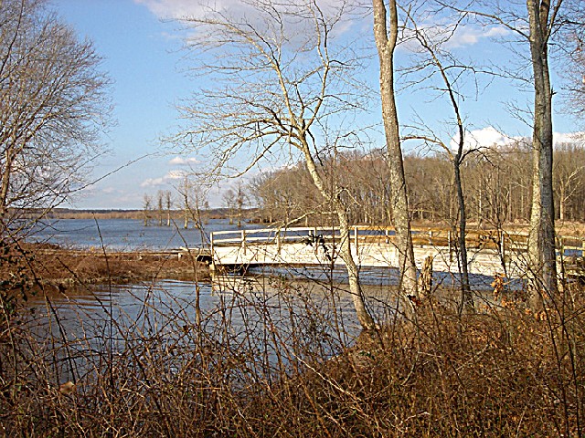
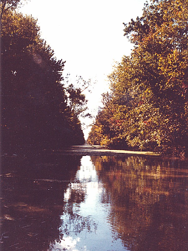
The refuge contains approximately 14,000 acres of bottomland hardwoods, 1,000 acres of upland hardwoods, 1,275 acres of cropland and moist soil units (see Management Activities), 700 acres of grasslands, and 4,700 acres of marsh and water. There are seven natural areas on the refuge and over 140 identified archaeological sites. In 1976, 7,730 acres were designated as a wilderness area. The Mingo Job Corps Civilian Center is located on the southeast corner of the refuge.
In 1804, the Louisiana Purchase acquired this territory for the United States. At that time, the population of the entire Bootheel was sparse and the swamp area was considered inaccessible. When Missouri became a state in 1821, all of the counties in southeast Missouri had settlers, except Stoddard and Dunklin counties, although Cape Girardeau was one of the most important river towns in Missouri.
Settlers first came to the swamp because of the vast cypress and tupelo forests. The giant cypress trees were the first to be used for railroad ties and building lumber. The T.J. Moss Tie Company was a large Bootheel lumbering operation, with its headquarters in Puxico. By 1888, T.J. Moss was the largest tie contractor in the state, and many of their ties were cut from trees taken from the swamp. A large mill was operated just north of Puxico on land now within Mingo NWR. Local sources claim that, at one time, the mill was the largest bandsaw mill in America. The lumber industry reached peak production in the Bootheel between 1900 and 1910. However, by 1935 most of the large operations had ceased. The giant trees were cut and it was necessary to find lumber in other places.
The powerful and wealthy lumber companies had not lost interest in the Bootheel yet. If the land could be drained it would again become an important source of revenue. The size of the projects remained small because of the expense involved. The lumber companies had considerable capital to invest, but demanded large grants of land for the drainage and were frequently more interested in the land than in efficiency of their drainage ditches. The State Legislature passed an act that allowed the formation of drainage districts, financed by long-term bonds. For the first time, drainage projects could be adequately financed and many drainage districts were created in the Bootheel.
In 1914, more than 20 drainage districts existed in Stoddard County. One of them was the Mingo Drainage District, a small district in the Advance Lowlands near Puxico. More than $1 million was spent to make Mingo Swamp suitable for farming. A system of seven major north-south ditches was constructed to drain water from the swamp into the St. Francis River, about 10 miles south of Puxico. (Except for the narrow southern extension of the district south of Puxico, the District's boundary and the Mingo NWR boundary are essentially the same.
During the Great Depression, land values plummeted and many of the large lumber companies defaulted on payment of taxes rather than continue to maintain unprofitable investments in the land. Mingo District was one of these.
The remaining timber was cut by anyone without regard to ownership. The area was open range country. Cattle and hogs ran over the entire swamp. To maintain it in a grassy condition, the land was burned, often several times a year. Hogs and cattle became so numerous that they overflowed into the small towns near the swamp.
In 1945, the U.S. Fish and Wildlife Service purchased 21,676 acres of the Mingo Swamp and established the Mingo NWR. The condition of the land was deplorable. In the previous 50 years, man had reduced a beautiful swamp, lush with the growth of plants and alive with animals, into a burnt and eroded wasteland.
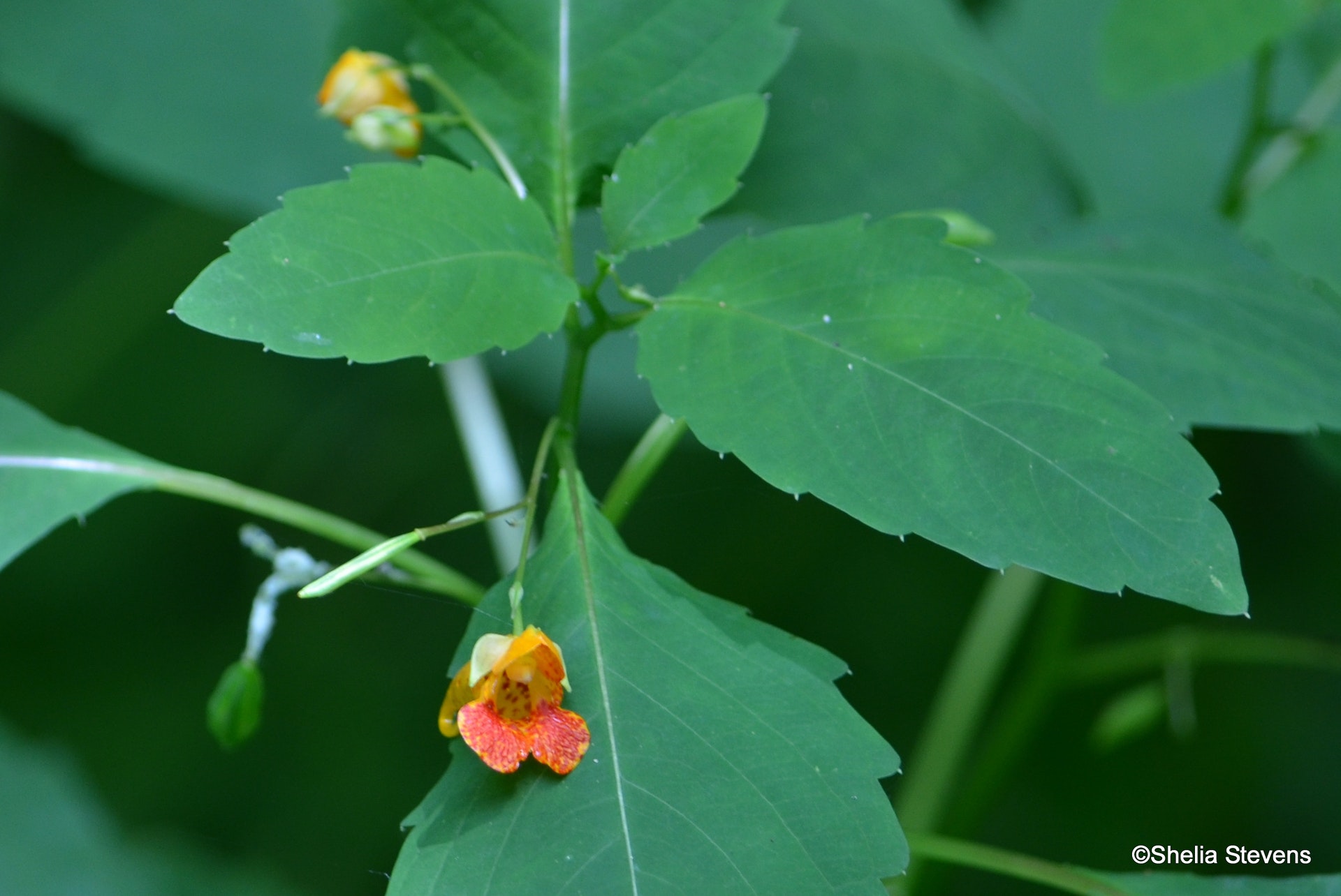
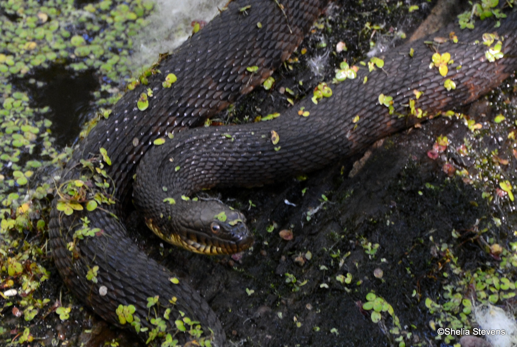
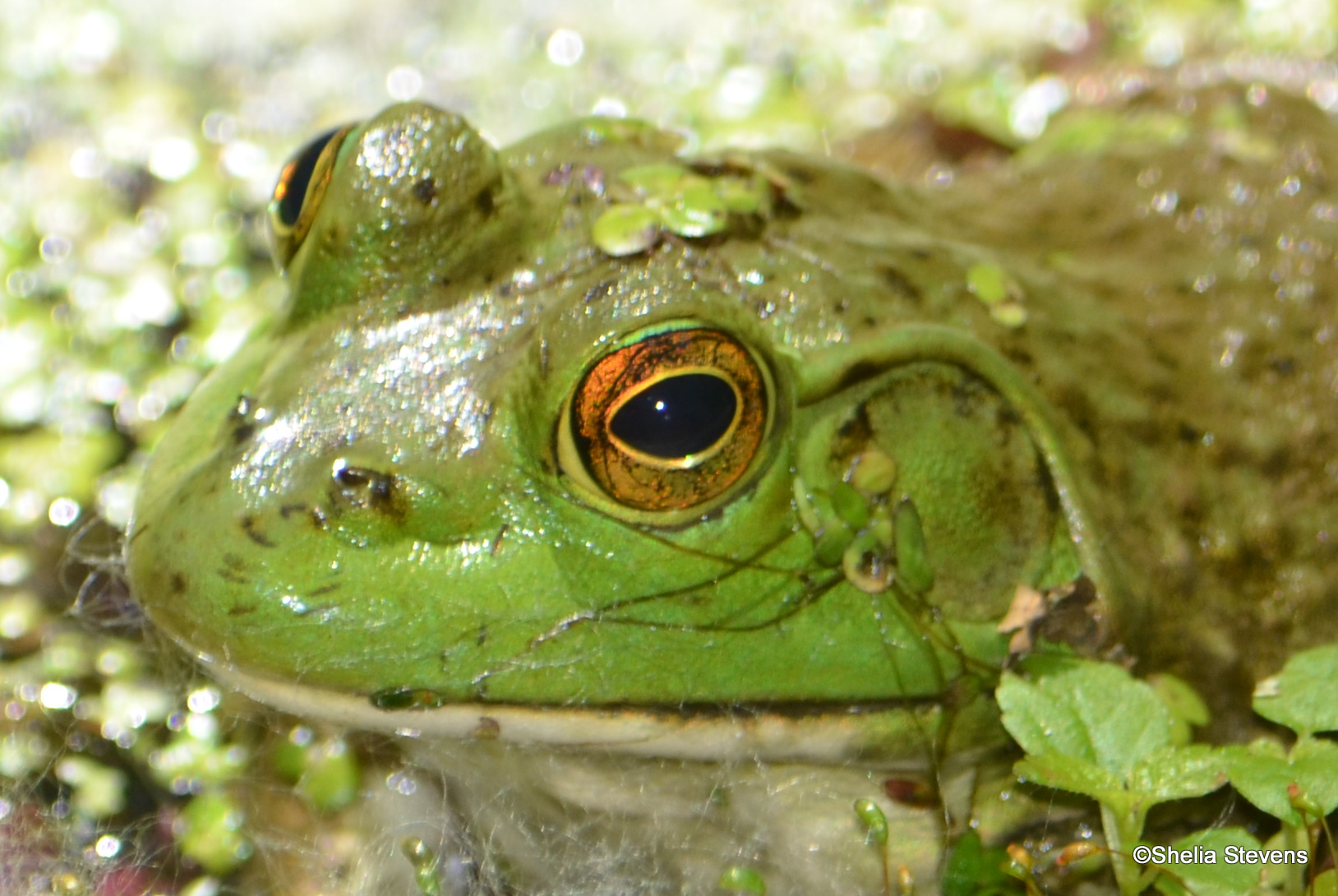
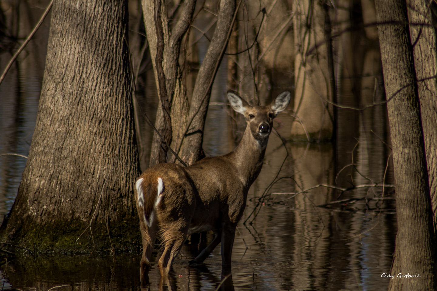
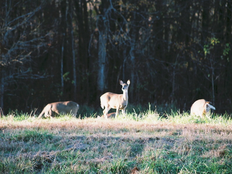
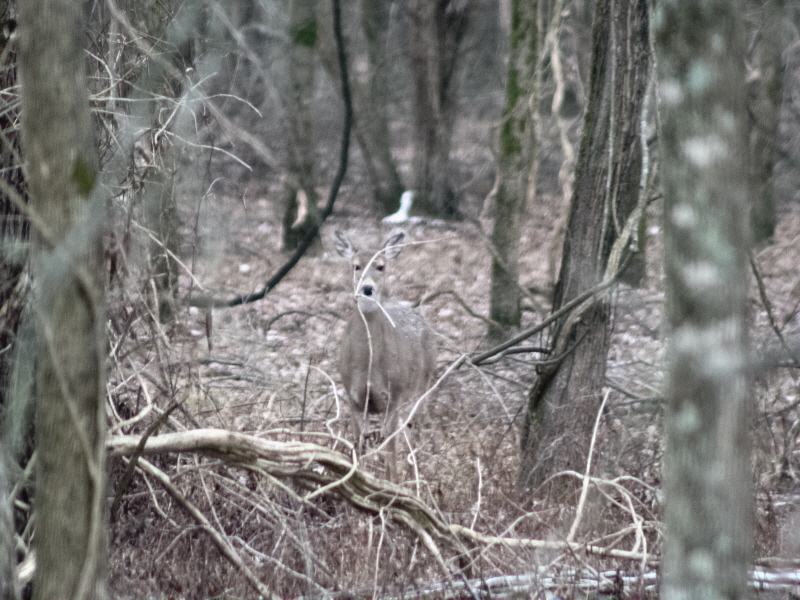
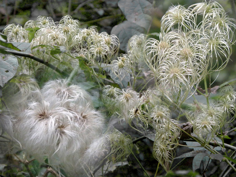
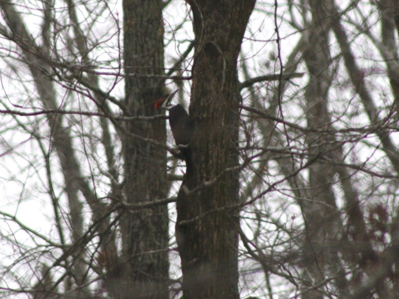
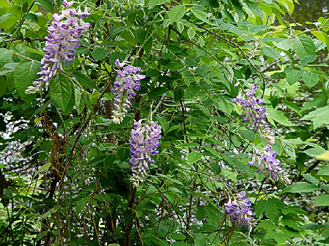
Through careful management, most of the natural plants and animals were restored. Native trees have replaced much of the brush and briers, and a canoe trip down the Mingo River will now reveal little to the casual observer of the abuses to this land in years past. Deer, wild turkey, bobcat and beaver have returned and are plentiful. The 21,676-acre refuge is now able to accomplish its primary objective; providing food and shelter for migratory waterfowl.
Day-UseFishingyes
Huntingyes
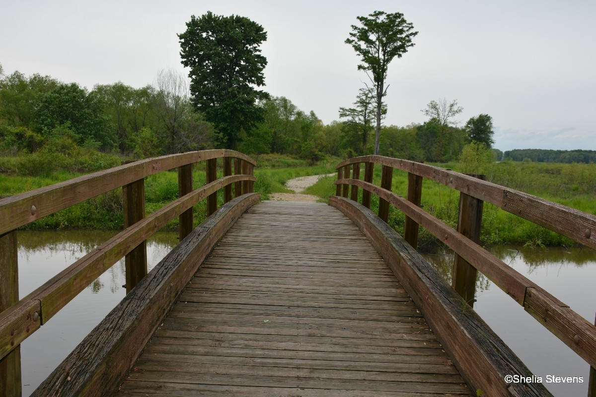
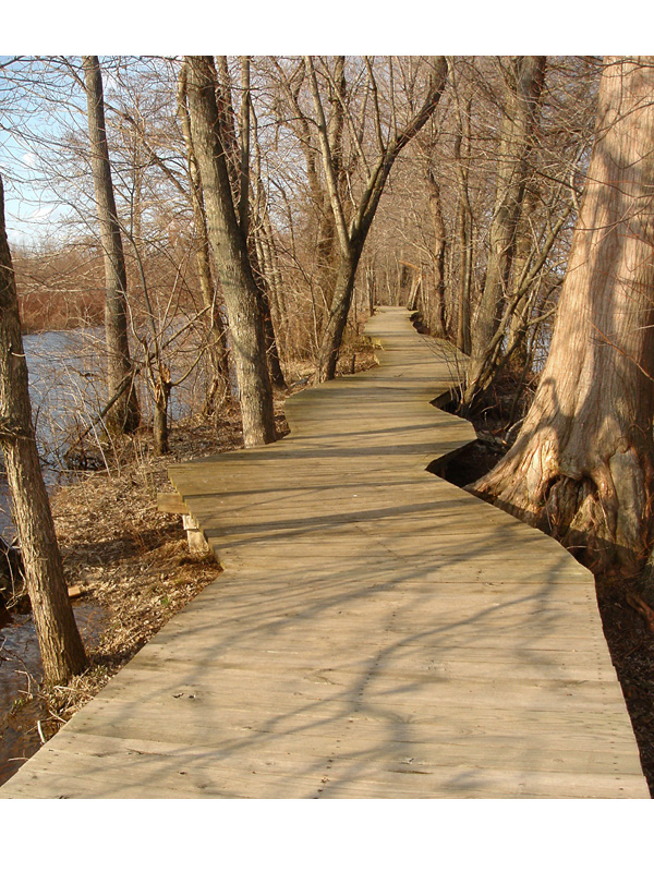
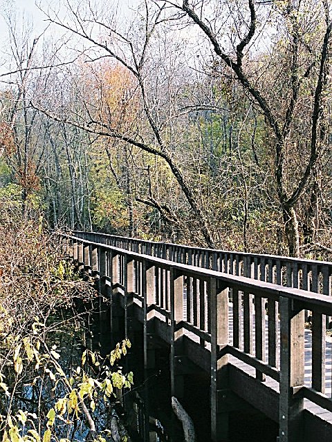
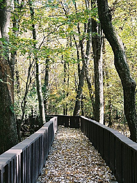
Hiking Trailyes


 Share Your Mingo National Wildlife Refuge Photos (click here)
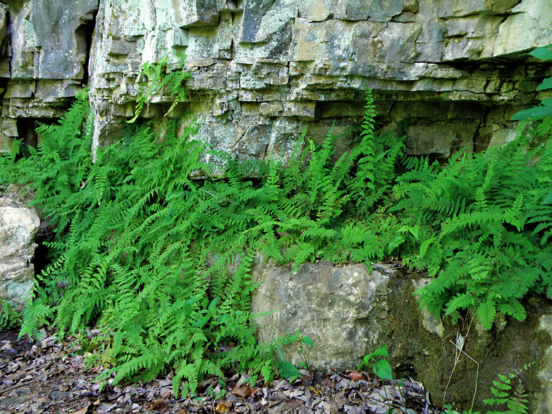