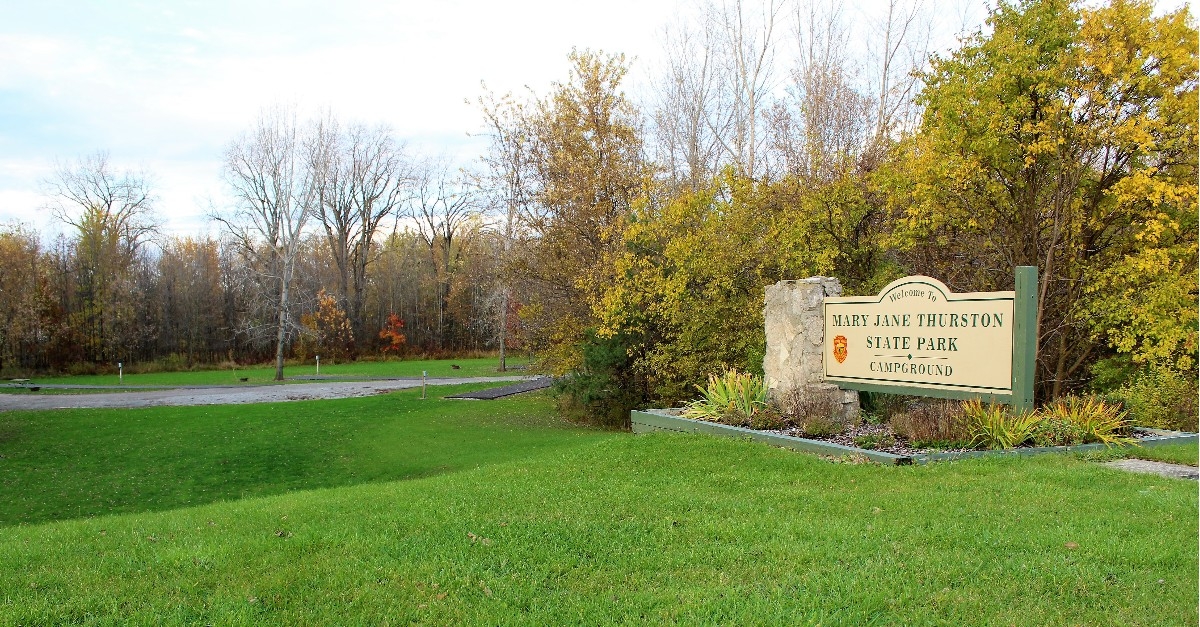
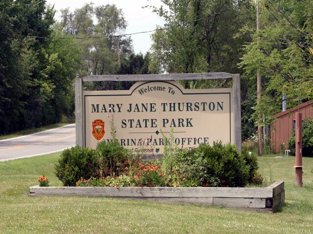
MARY JANE THURSTON STATE PARK
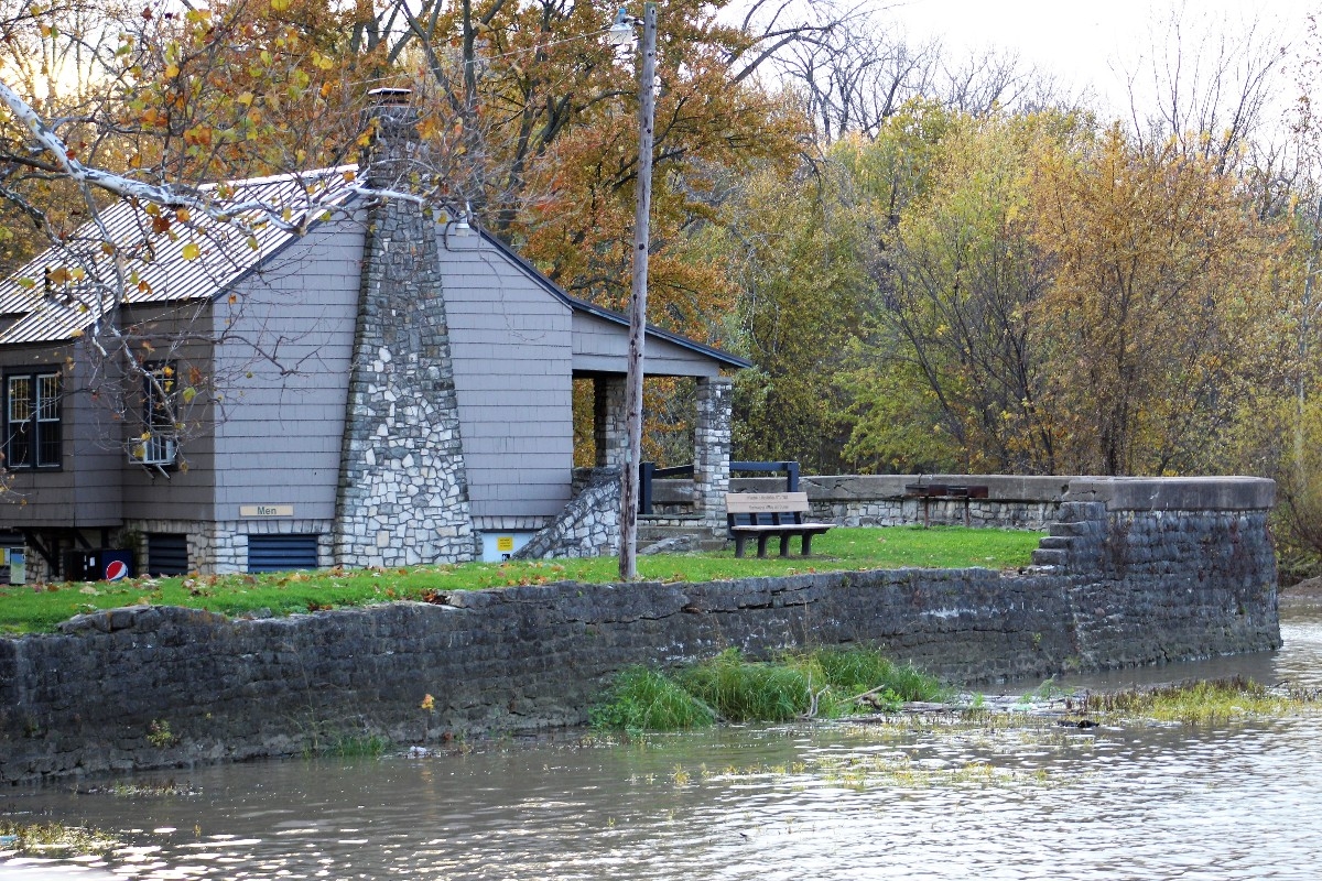
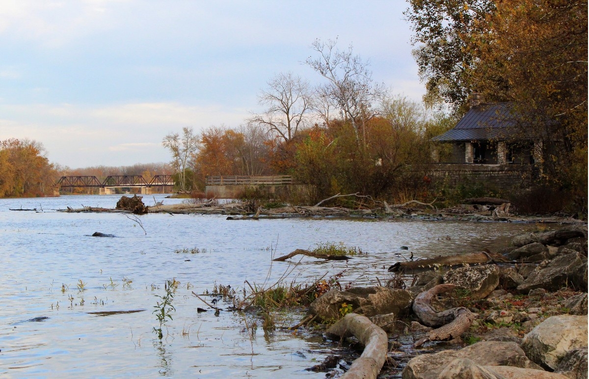
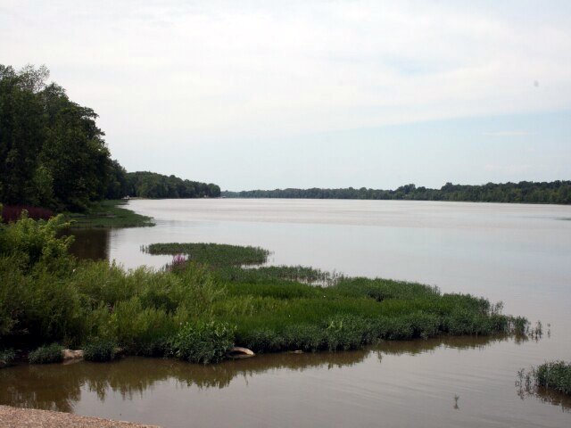
Situated along the historic Maumee River, Mary Jane Thurston State Park offers a variety of day-use and overnight activities. The Maumee is not only scenic, but also provides some of the best stream fishing in Ohio. Boaters have access to the river while history buffs may explore the remnants of the old canal.
Northwestern Ohio was covered by a massive ice sheet during the Ice Age. As the ice melted, the area from Fort Wayne, Indiana to western New York was covered by a large lake named Lake Maumee by geologists. With the retreating of the ice, new eastern outlets opened and eventually present-day Lake Erie was formed.
As the water drained from the state, swamps formed in the lowlands. The Great Black Swamp, 120 miles long and 30 to 40 miles wide, included the Maumee Valley. The heavily wooded swamp was a barrier to westward settlement. By 1900, through the use of a major system of dikes and ditches, the area was drained. The dark soils of the old swamp became fertile agricultural lands.
Ridges of sand or old beaches can be found from Liberty Center, Ohio northeast to Detroit. Known in Ohio as the Oak Openings, these sand beaches were formed when present-day Lake Erie was larger. Originally, the Oak Openings were surrounded by dense swamp forests. Today, the Oak Openings area includes impressive dunes, bogs, prairies, swamp forests and a variety of unique vegetation.
This area was the rich hunting grounds of many Indian tribes. As settlers moved west, hostilities arose. President Washington appointed General Anthony Wayne to lead forces into the area. After building Fort Defiance in 1794, at the junction of the Maumee and Auglaize rivers, Wayne advanced down the Maumee Valley. At the Battle of Fallen Timbers, Wayne's troops defeated the Indian warriors commanded by Blue Jacket. This battle put an end to twenty years of conflict between Indian and settler.
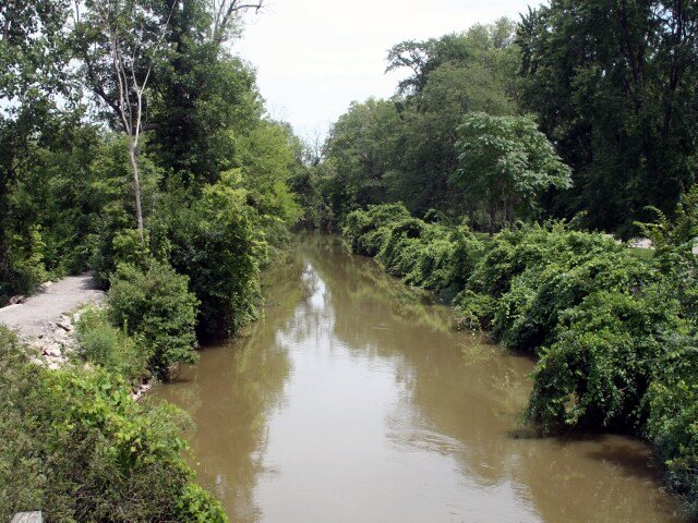
In later years, the canal building era had a great influence on the region. The Miami and Erie Canal, which traveled north from Cincinnati, merged with the Wabash and Erie Canal south of Defiance in 1845, linking Cincinnati to Lake Erie. The canal stimulated development and trade along its route.
In order to better use the slackwater at the head of the Maumee River near the community of Gilead, a second dam was built by the state in 1845. Previously, a smaller dam had been built across part of the river to power a mill. The citizens were outraged about the new dam which limited water power to the mill and one night destroyed the dam. As a compromise, the Gilead Side Cut Canal was built, connecting Gilead with the Miami and Erie Canal, and a replacement dam was constructed. In 1855, the canal port of Gilead was incorporated as Grand Rapids.
In 1928, Mary Jane Thurston, a Grand Rapids schoolteacher bequeathed fourteen acres of land to be used as a park. After several transfers and leases, Mary Jane Thurston State Park was dedicated in 1968. Adjacent property and additional land upriver, known as North Turkeyfoot Area, were purchased in 1968 and 1969.
Ohio does not have an annual pass and does not charge entrance fees to state parks.
GeneralLand, acres591
Water, acres-11
Nearby State Forest, acres3,068
Day-UseFishingyes
Huntingyes
Hiking Trail, miles9
Picnickingyes
BoatingBoating LimitsUnlimited HP
Seasonal Dock Rental10
Launch Ramps, #4
CampingPrimitive, #35
Pets Permittedyes
Flush Toiletsyes
Camper Cabins, #2
WinterSleddingyes
Cross-Country Skiingyes
Ice Skatingyes
Ice Fishingyes
A small campground offers 31 non-electric sites. Fifteen of these sites are designated for walk-in tent camping. Picnic tables and fire rings are provided. Latrines and restrooms are located nearby. Pet camping is permitted all sites. Additional walk-in sites are available in the North Turkeyfoot Area. Permits can be obtained at the park office.


 Share Your Mary Jane Thurston State Park Photos (click here)
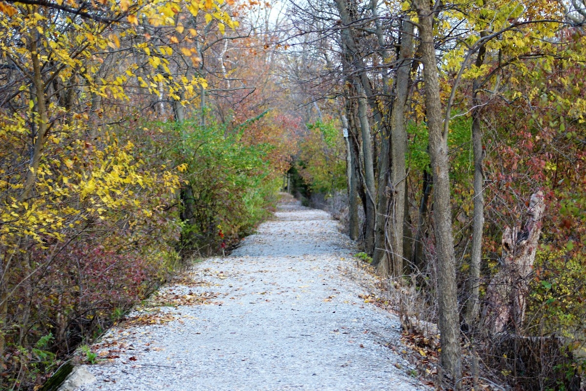