KETTLETOWN STATE PARK
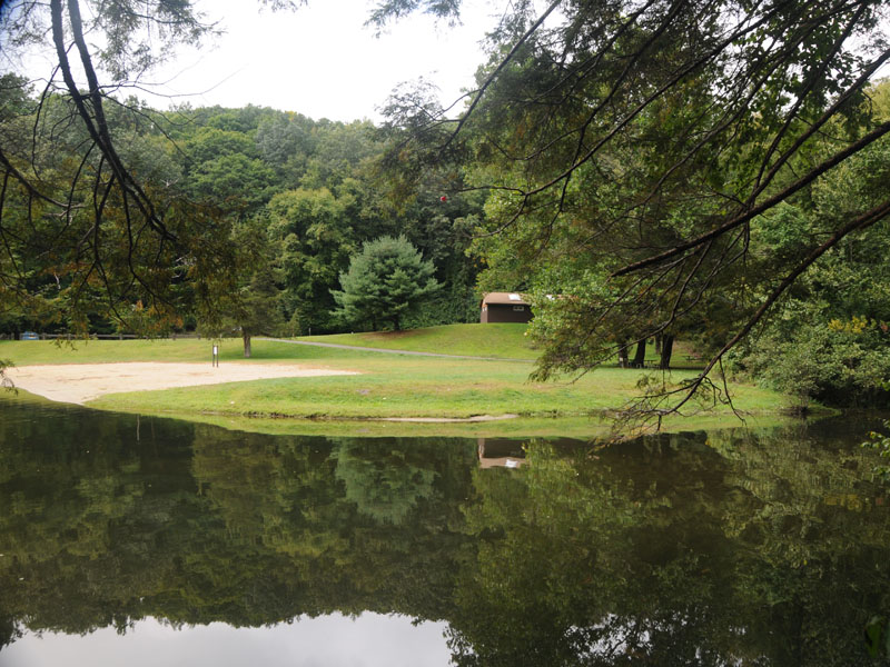
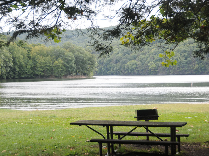
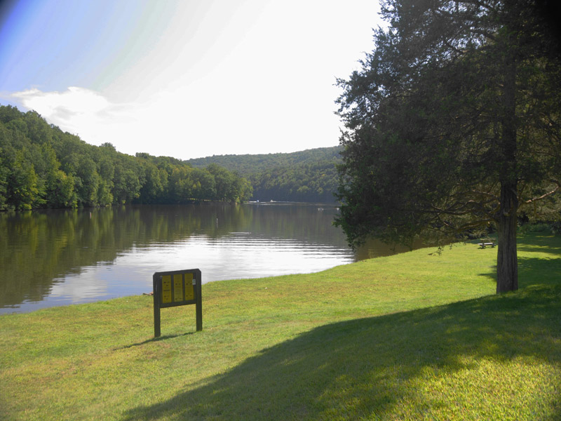
The cool waters of the Housatonic River make Kettletown State Park and Lake Zoar popular recreation destinations.
The William Miller (blue blazed) Trail, to your right from the road heading to the Youth Group Camp Area, provides a good introduction to a variety of rocks. At the T in the trail, turn right. About 500 feet down the trail you will encounter a large, lumpy brown boulder at the edge of the trail. (Figure 1) This glacial erratic came from the northwest, from the Pomperaug Valley. Erratics are boulders left behind by the glaciers when they melted. They are sitting on bedrock different from the type of rock they are.
We know which way this erratic came from because it is a chunk of basalt, and the nearest basalt bedrock is found three miles to the northwest in Southbury. Also, outside the park glacial striations indicate a southeast movement of the ice. Striations are scratches left in exposed bedrock when ice with rocks frozen in the bottom of it moved over the exposed rock, gouging grooves. The boulder's roundness results from the wearing off of corners and edges during transport. Sometimes lava flows into water, causing the surface to solidify instantly, while the inside of the flow is still liquid. This results in blobs, which then break open, allowing the lava to flow a little farther, then form another blob. The result is pillow basalts, and it appears this boulder and several more a little farther along the trail are pillow basalts. At the time basalt was flowing into the valley, Connecticut was much farther south and much drier than it is now. But there were lakes here and there, especially during the monsoon season. For more information on how the basalts and sedimentary rocks of Connecticut formed, see the geology of Penwood State Park. This part of Connecticut is all metamorphic rocks (except for the Pomperaug Valley in Woodbury and Southbury). The rocks in western Connecticut have been changed from the rocks they originally were by high heat and pressure. The rocks of Kettletown were originally Iapetos ocean floor sediments, mixed with a few basalt flows. As Africa and Europe moved closer to North America the ocean crust was being forced under the continental crust and these sediments were scraped off, then squished by the collision of some microcontinent(s). The resulting heat and pressure changed the sediments and basalt to gneiss, schist, quartzite, marble, and amphibolite, all metamorphic rocks. Gneiss, schist and amphibolite occur in the park, although no schist outcrops were seen along the described trails.
Kettletown State Park, situated in the towns of Southbury and Oxford, contains 605 acres and was originally inhabited by the Pootatuck Indians, members of the Algonquin group. Early colonists reportedly traded one brass kettle for use of the land for hunting and fishing. Eventually, the settlers acquired complete rights to the area and, by 1758, the Pootatucks had either migrated to the northwest or perished.
Although the Pootatucks were expert fisherman and hunters, their main occupation was farming. They raised fine crops of beans, squash, tobacco and apples. The Pootatucks developed a drum communications system which could carry a message over 200 miles in just two hours. All that remains now in the Kettletown area of this once prosperous tribe is an occasional arrowhead. In 1919, their original village was covered by the water of the Housatonic River when the Connecticut Light and Power Company constructed the Stevenson Dam to produce hydroelectric power. The resulting Lake Zoar is the fifth largest freshwater body in the state. The settlers who had used the land for dairy farming had deserted much of it as better farming land became available elsewhere.
The State of Connecticut purchased 455 of the 605 acres in Kettletown in 1950 with funds left by Edward Carrington of New Haven, which he had dedicated to the acquisition of public land in the Naugatuck Valley.
Much has happened to Kettletown since the arrival of the early settlers. Today it exists in a more natural state for all to enjoy.
Connecticut has made state parks, forests, trails, historic sites and beaches more accessible to our residents so they can enjoy the many attractions and beauty they offer. Under the Passport to the Parks program, parking fees are now eliminated at Connecticut State Parks for those with Connecticut registered vehicles. You can view the
CONNECTICUT PASSPORT TO THE PARKS web page to learn more.
Kettletown Campground offers 68 sites in both open and wooded settings.


 Share Your Kettletown State Park Photos (click here)
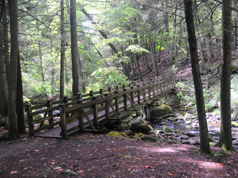