KENT FALLS STATE PARK
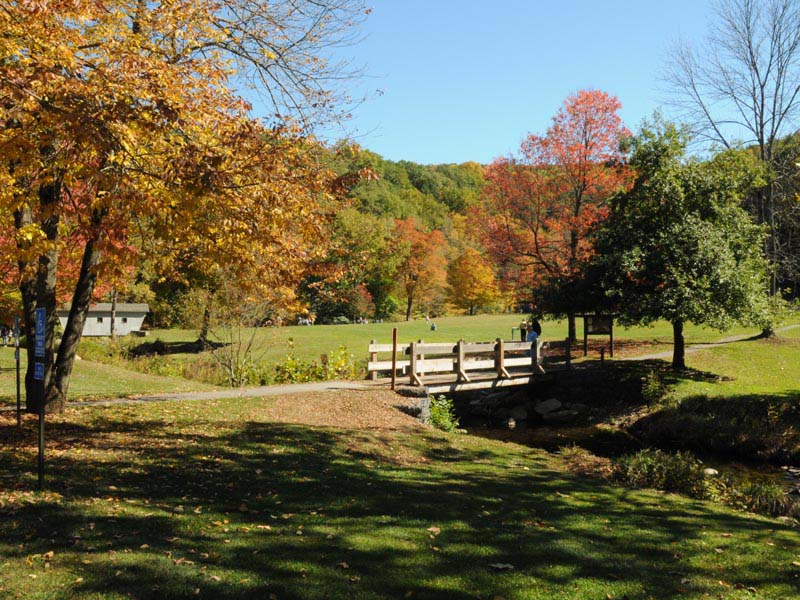
Wander across the covered bridge, hike the falls, and feel the mist on your face as water cascades 250' down on its way to joining the Housatonic River.
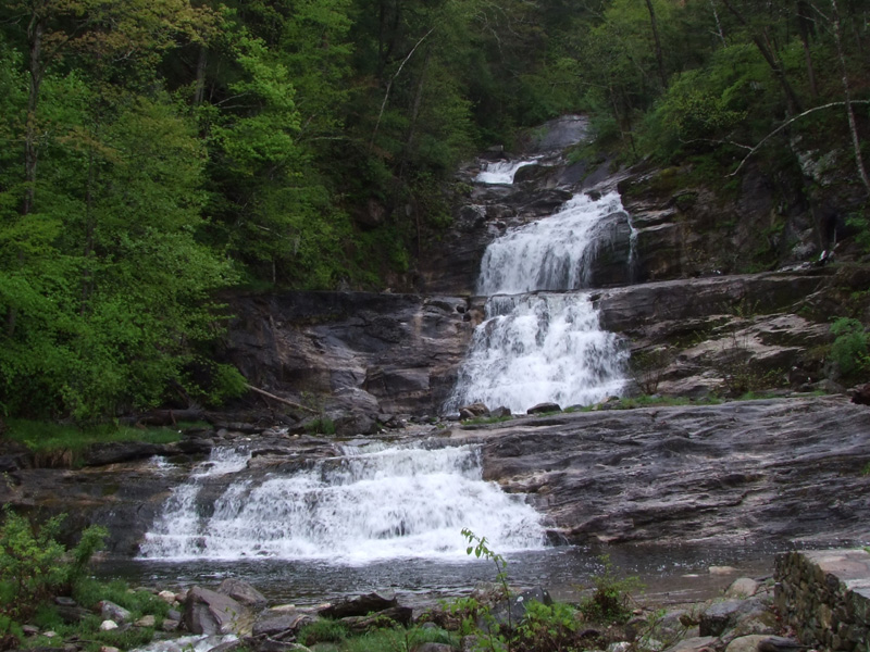
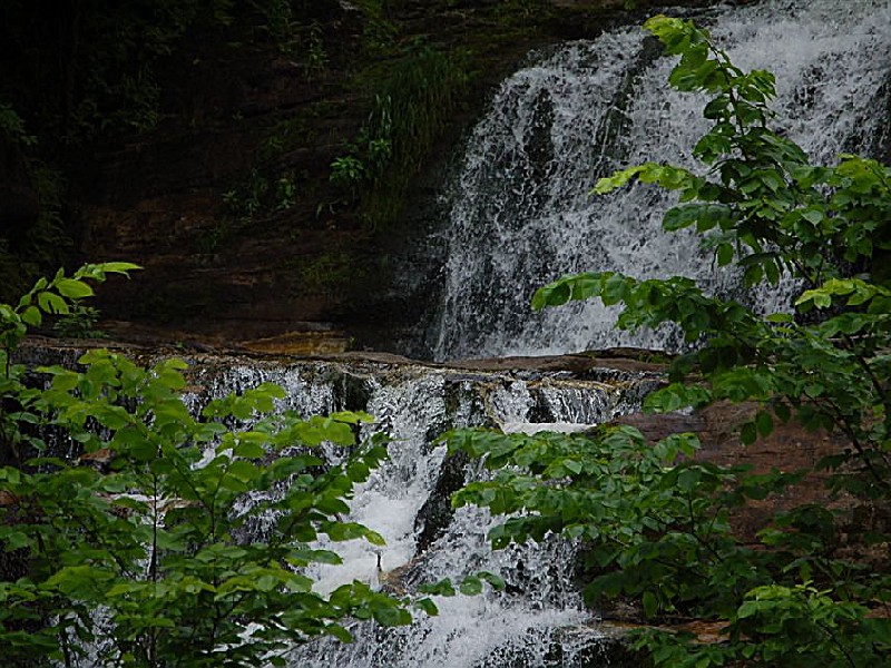
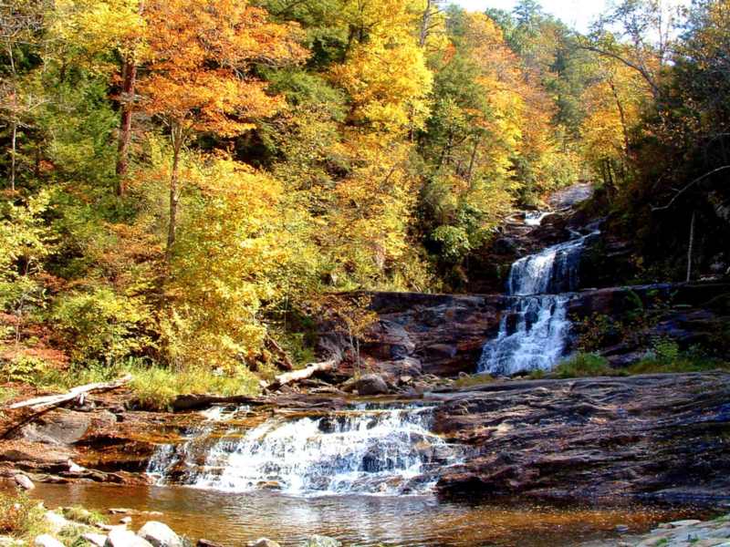
The most obvious feature at Kent Falls is, of course, the falls. Actually, they are a series of falls and cascades. Multiple falls and cascades, such as these, generally form where the bedrock contains alternating hard and soft layers. This part of Connecticut was once made of coral reefs, offshore from the northwestern part of the state. As the Iapetos Ocean closed when Europe and Africa moved our way, these reefs were squeezed and buried under other rock. With increasing heat and pressure, the minerals in these rocks recrystallized, and the former coral reefs turned to marble. Sand and mud around the reefs formed the impurities in the marble that cause some layers to be more resistant to the effects of the flowing water.
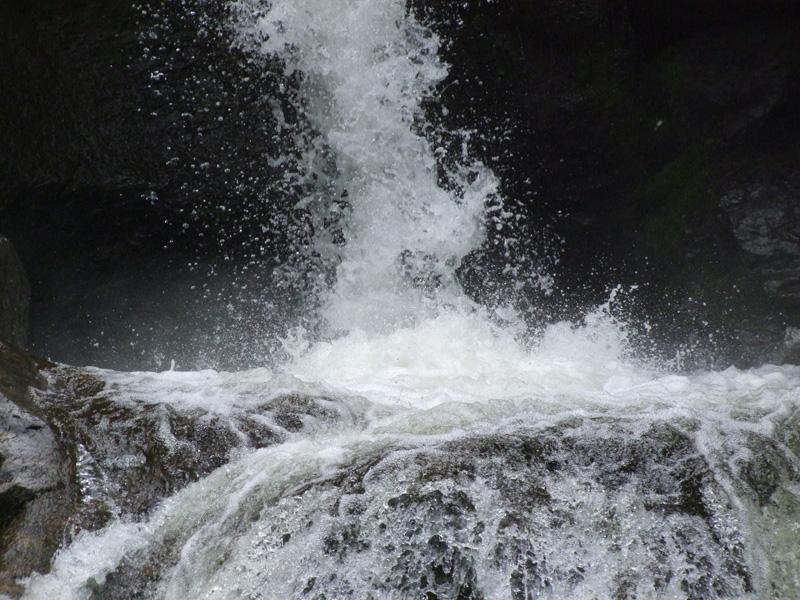
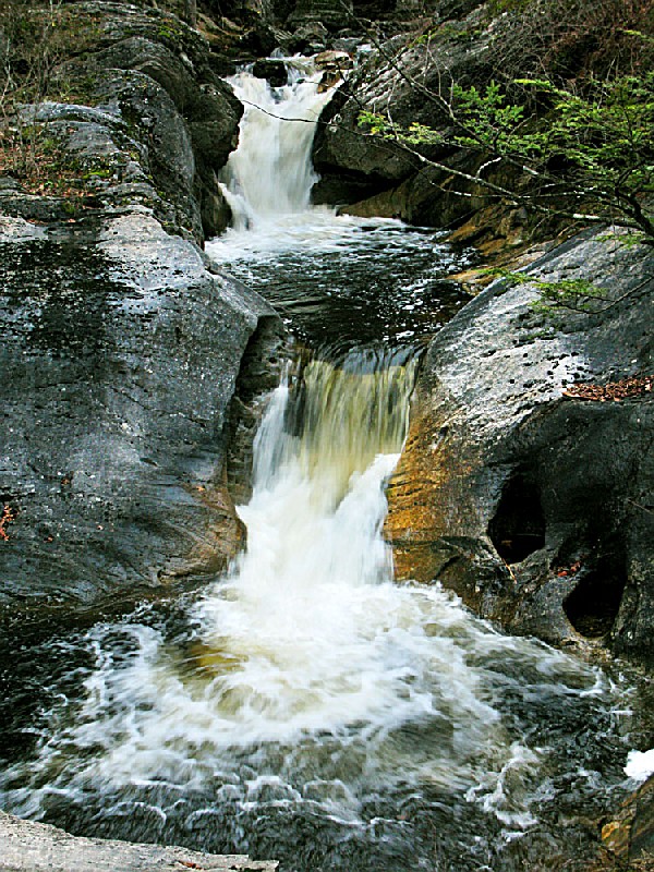
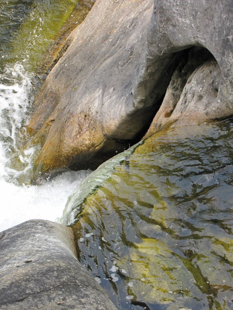
Walk up the trail along the right side of the falls. The first two cascades drop over flat-lying layers of marble. But farther up the trail, at the third cascade, the rocks have been turned up on end. On the other side of the stream, small rocks trapped by swirling water wore a double pothole out, into the rock. The potholes are now combined. These rocks were possibly rotated from the horizontal when the nearby fault was active. The fault lies between here and Dugan Road at the top of the series of cascades and falls, but it is not visible along the trail.
After passing a side trail to a lookout of the falls, look for several boulders on the right side of the trail. These are gray schist, and one has a marble vein in it.
At a 90o turn in the wooden trail, look for a rock to the right that is nearly covered by moss. Touch the white, exposed area. Here, the marble is very sand-like, because it is weathering easily. Marble like this, in the stream, would not last very long.
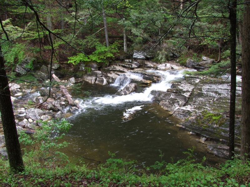
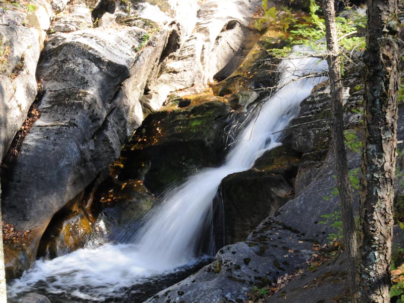
When you reach the next overlook, sit down on the bench and study the rock on either side of the falls. It is eroding between two parallel fractures that are not quite vertical. They give the impression that the falls are not upright. The rocks forming these falls are not marble, at least not at the top.
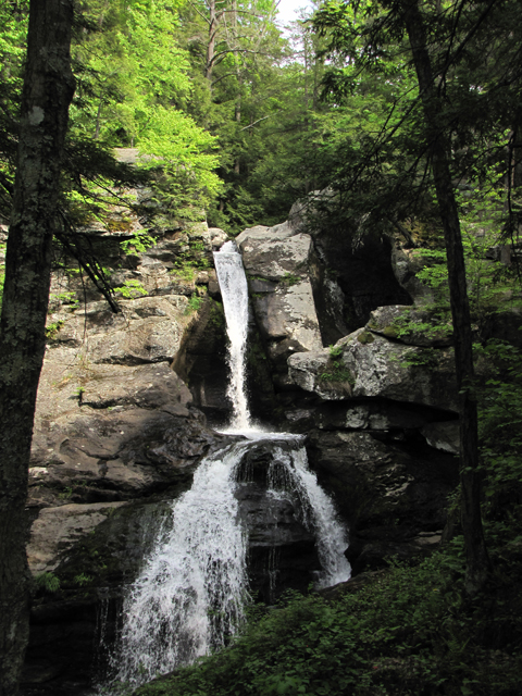
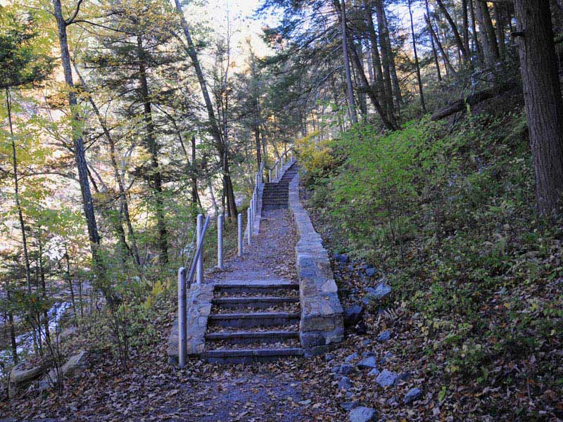
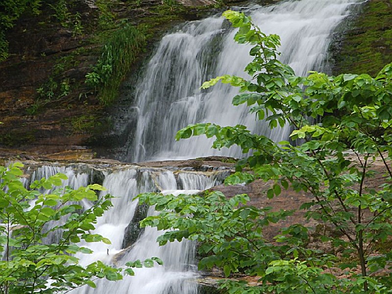
Continue on up the red trail to the road, walk on the left across the bridge, then walk down the Red Trail. Look for a large, low outcrop, a little off the left side of the trail. This is the rock where the high falls in Figure 4 drop along two fractures. Notice the lumpy rock. Although the lumps look light-colored at first, upon close examination you will see that they are dark-red. These are garnets, our state mineral. The rock is gneiss, made up of bands of different minerals. Continue on down the trail towards the parking lot. The rest of the trail has few rocks to see, but is a pleasant, downhill stroll through a nice forest. Look for a variety of plants, and occasional small animals.
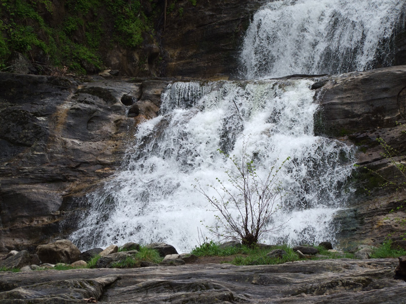
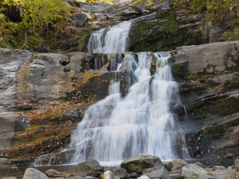
Kent Falls, located in the northeastern section of the town of Kent, is a series of waterfalls on a mountain stream known as Falls Brook. The stream begins in the town of Warren, draining an area of six or seven square miles. It then flows west to the big fall where it plunges approximately 70 feet in a dramatic cascade. From here the stream descends in a series of lesser falls and cascades to the valley, where it enters the Housatonic River some 200 feet below the brink of the big fall only a quarter mile away. Much of the limestone over which the brook flows has been carved into interesting shapes including numerous potholes of all sizes.
The Indian name of this area is "Scatacook" and there is considerable evidence that Native Americans fished and camped by the falls. Later, in colonial times, mills were also present along the brook.
Acquisition of the park began in 1919 with the gift of 200 acres by the White Memorial Foundation. Other parcels were donated or purchased until the present 295 acres were acquired. The area was developed in the 1930's by the Civil Works Administration. In the mid nineteen-seventies, considerable trail reconstruction was done by the Youth Conservation Corps of Connecticut. The covered bridge is an authentic reproduction built in 1974 by a park employee, Edmund Palmer.
The flow in the cascade at Kent is normally heaviest in the spring when the winter snow is melting. However, the falls can be dramatic at any time of the year, particularly after substantial rainstorms. Fall foliage season is also an excellent time to enjoy the area. Because of its exceptional scenic qualities, Kent Falls has been featured in a number of magazine and television advertisements.
Connecticut has made state parks, forests, trails, historic sites and beaches more accessible to our residents so they can enjoy the many attractions and beauty they offer. Under the Passport to the Parks program, parking fees are now eliminated at Connecticut State Parks for those with Connecticut registered vehicles. You can view the
CONNECTICUT PASSPORT TO THE PARKS web page to learn more.


 Share Your Kent Falls State Park Photos (click here)
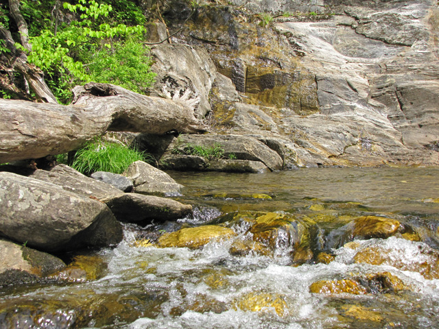