CANYON DE CHELLY NATIONAL MONUMENT
For nearly 5,000 years, people have lived in these canyons - longer than anyone has lived uninterrupted anywhere on the Colorado Plateau. In the place called Tsegi, their homes and images tell us their stories. Today, Navajo families make their homes, raise livestock, and farm the lands in the canyons. A place like no other, the park and Navajo Nation work together to manage the land's resources.
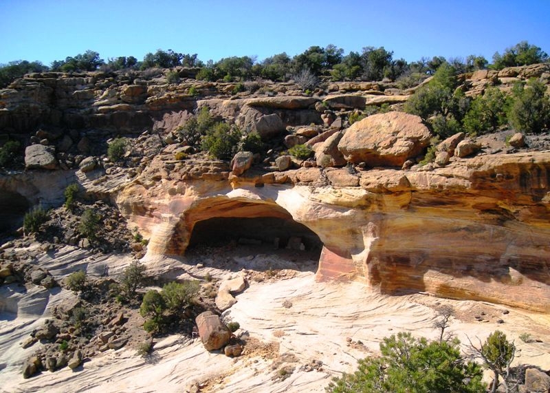
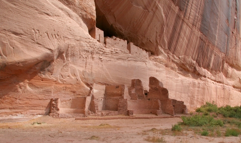
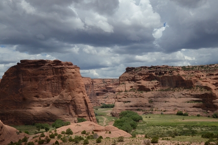
Millions of years of land uplifts and stream cutting created the colorful sheer cliff walls of Canyon de Chelly. Natural water sources and rich soil provided a variety of valuable resources, including plants and animals that have sustained families for thousands of years. The Ancient Puebloans found the canyons an ideal place to plant crops and raise families. The first settlers built pit houses that were then replaced with more sophisticated homes as more families migrated to the area. More homes were built in alcoves to take advantage of the sunlight and natural protection. People thrived until the mid-1300s when the Puebloans left the canyons to seek better farmlands.
Descendants of the Puebloans, the Hopi migrated into the canyons to plant fields of corn and orchards of peaches. Although the Hopi left this area to permanently settle on the mesa tops to the west, the Hopi still hold on to many of their traditions that are evident from their homes and kivas.
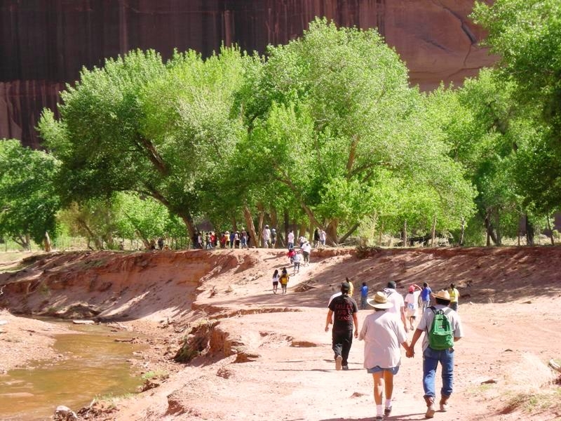
Related to the Athabaskan people of Northern Canada and Alaska, the Navajo settled the Southwest between the four sacred mountains. The Navajo, or Dine' as they call themselves, continue to raise families and plant crops just as the Ancient Ones had. The farms, livestock and hogans of the Dine are visible from the canyon rims.
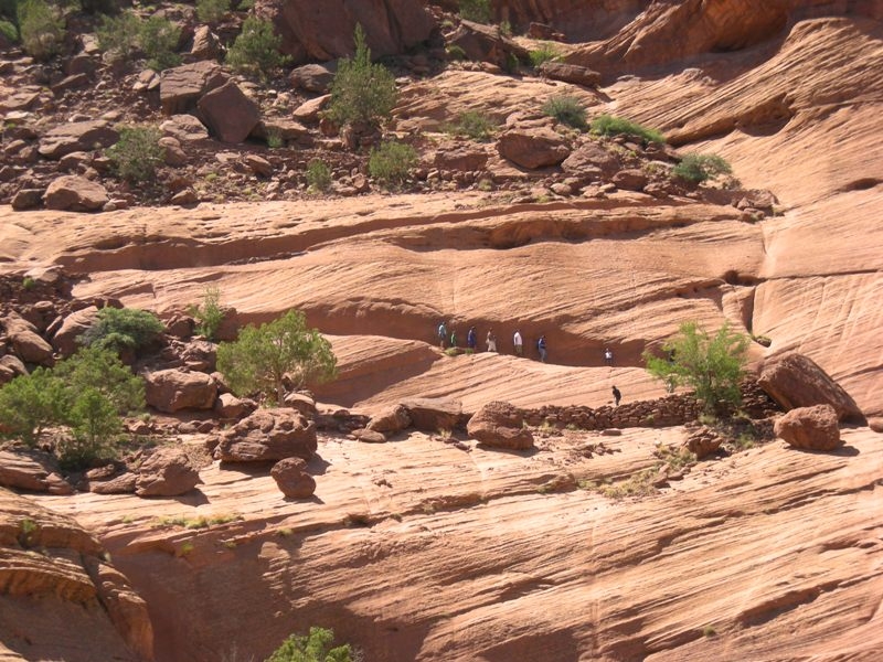
Canyon de Chelly National Monument was authorized in 1931 by President Herbert Hoover in large measure to preserve the important archeological resources that span more than 4,000 years of human occupation. The monument encompasses approximately 84,000 acres of lands located entirely on the Navajo Nation with roughly 40 families residing within the park boundaries. The National Park Service and the Navajo Nation share resources and continue to work in partnership to manage this special place.


 Share Your Canyon de Chelly National Monument Photos (click here)
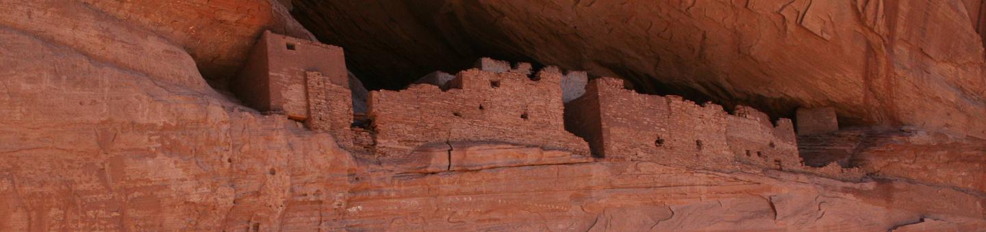