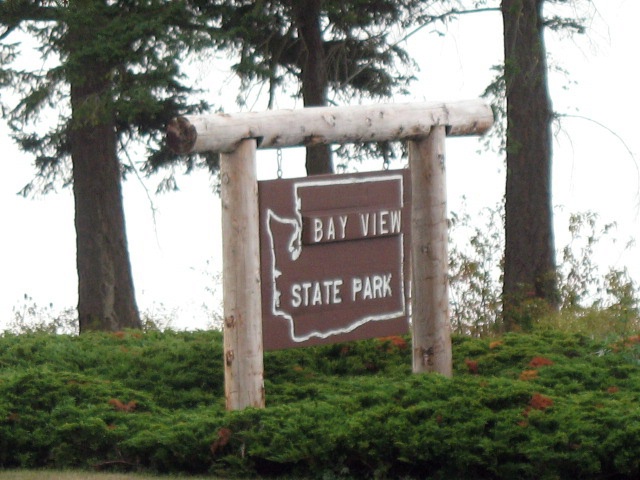
BAY VIEW STATE PARK
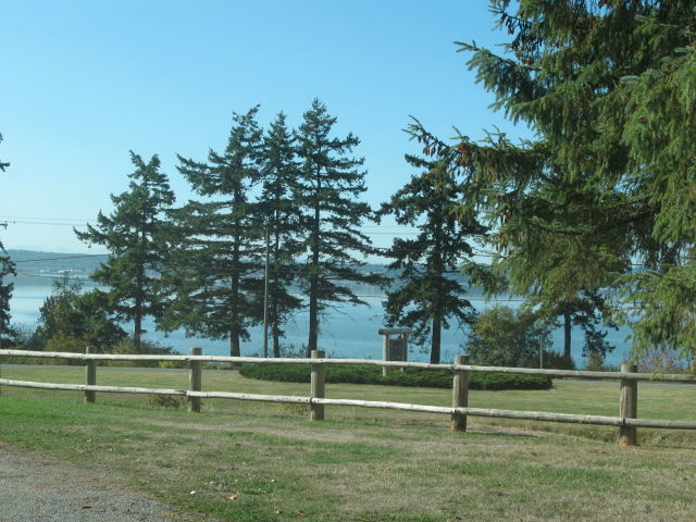
Bay View State Park is a 25-acre camping park with 1,285 feet of saltwater shoreline on Padilla Bay. Over 11,000 acres of Padilla Bay are designated as National Estuarine Sanctuary. Breazeale Padilla Bay Interpretive Center is located a half mile north of the park. The park offers views of the San Juan Islands fronting Padilla Bay, one of 15 existing national marine estuaries. On clear days, park users see the Olympic Mountains to the west and Mt. Rainier to the south.
Bay View State Park was the home of Pat-Teh-Us, a Noo-Wha-Ah Indian chief and signer of the Point Elliot Treaty. The town was named by William J. Mckenna, who plotted the original townsite in 1884. The original portion of the park was donated to the state in 1925 by the Skagit County Agricultural Association with the understanding that it would become a state park. Additional parcels were acquired up until 1968. The park site, formerly a baseball field and racetrack, derives its name from the community of Bay View.
A Discover Pass is required for vehicle access to Washington state parks for day use. For more information about the Discover Pass and exemptions, please visit the
Discover Pass web page.
The park has tent spaces, utility spaces, cabins, dump station, restroom and showers. The campground is divided into three areas.
Sites T1 to T9 the view sites provide the best opportunity to view Padilla Bay and are also utility sites.
Sites T10 to T30 the utility sites face a 1.5-acre grassy section, which provides space for kids to play safely and for parents to keep an eye on them.
Sites 31 to 76 the standard campsites provide a parking place, stove, picnic table and space to pitch a tent.
The park provides one group camp for tents only.
The park is on Padilla Bay with a public watercraft launch three blocks from the park. Be advised Padilla Bay is heavily influenced by tidal action. The bay becomes a large mud flat during low tides.
Skagit County Parks provides a boat launch eight miles west of the park, just off Hwy. 20 under the Swinomish Channel. The launch is useable under various tide conditions.
Enjoy fishing in the Padilla Bay, known for its Dungeness crab and clam populations. Salmon is also a common catch. The park offers both saltwater and freshwater options with opportunities to fish from shore or by boat. A variety of species including flounder, perch, cod are available as well.


 Share Your Bay View State Park Photos (click here)
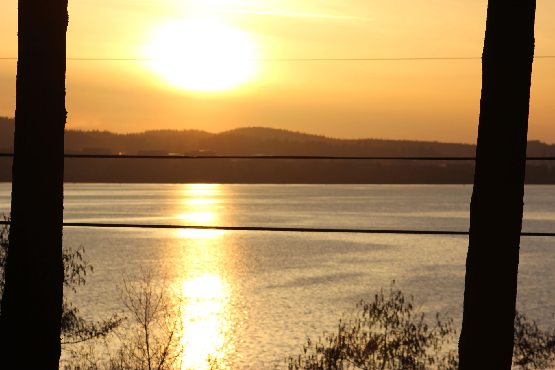