TRINIDAD LAKE STATE PARK
Trinidad Lake State Park, nestled in the Southern Colorado foothills of the Culebra Range of the Sangre de Cristo Mountains, is a 2,700-acre park filled with wildlife and natural beauty. At an average elevation of 6,300 feet, the lake, forest, hills and wetlands of the park offer a wide variety of recreational activities.
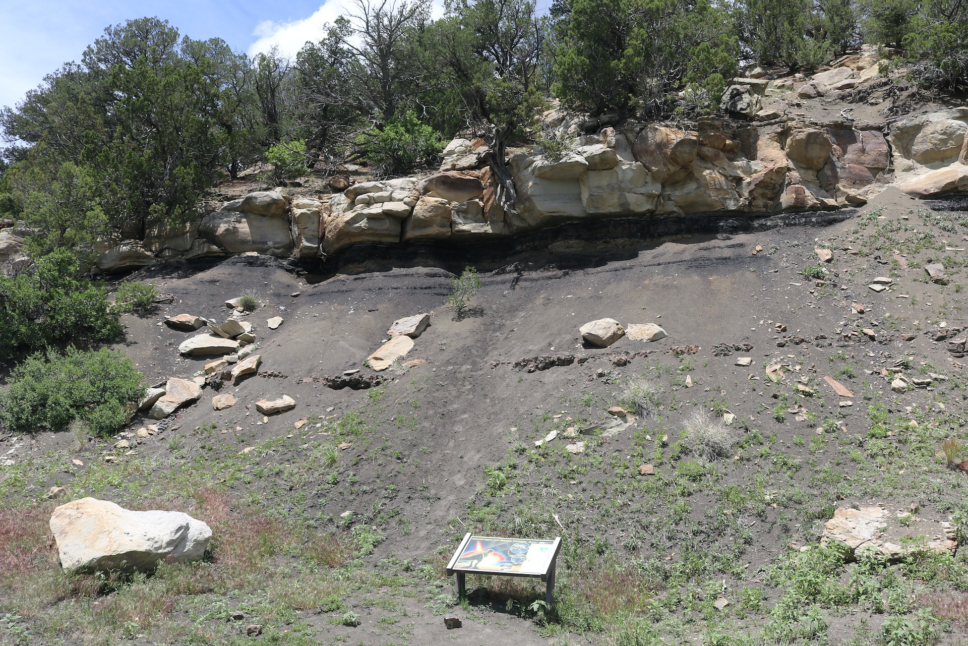
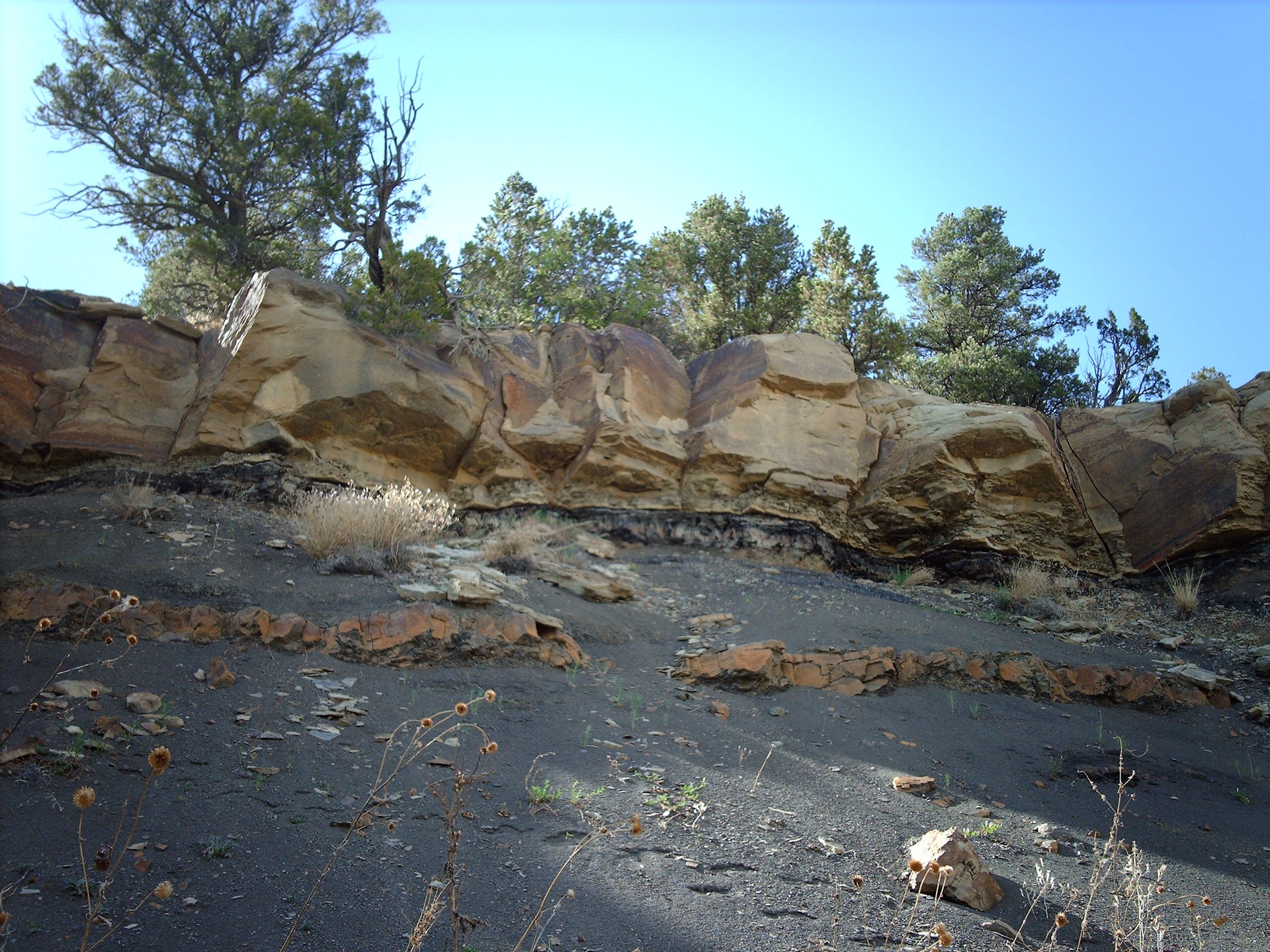
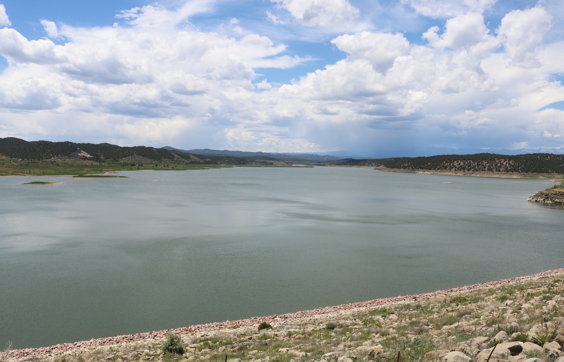
Ten miles of trails wander through the pinon and juniper forests at the park, which is part of the Purgatoire River Valley. Te parks 800-acre lake provides ample opportunities for boating and fishing while individual and group picnic facilities make getting together with family and friends a memorable experience.
The Carpios Ridge Campground provides modern facilities for overnight stops and longer stays for those exploring nearby Fishers Peak State Park, Southern Colorado and Northern New Mexico. Te park is bordered by the Scenic Highway of Legends and the Santa Fe National Historic Trail. Four of Southern Colorados finest museum complexes are located in Trinidad just three miles east. Te U.S. Army Corps of Engineers built the dam that created Trinidad Lake as an irrigation and food-control project in 1978. Te park has been managed by Colorado State Parks since 1980.
All Colorado State Parks have entrance fees. All vehicles are required to have an entrance pass and some parks have walk-in fees. Visit the
Colorado Park Entrance Pass web page.
Te 63-site Carpios Ridge Campground accommodates RVs, trailers or tents and includes shared water taps, electrical hook-up, laundry, showers and flush toilets. Full hook-up and 10 basic sites are available seasonally. It is illegal to dump waste and sewage, including dishwater, anywhere except into the dump station so please use the facility conveniently located near the Carpios Ridge Campground entrance.


 Share Your Trinidad Lake State Park Photos (click here)
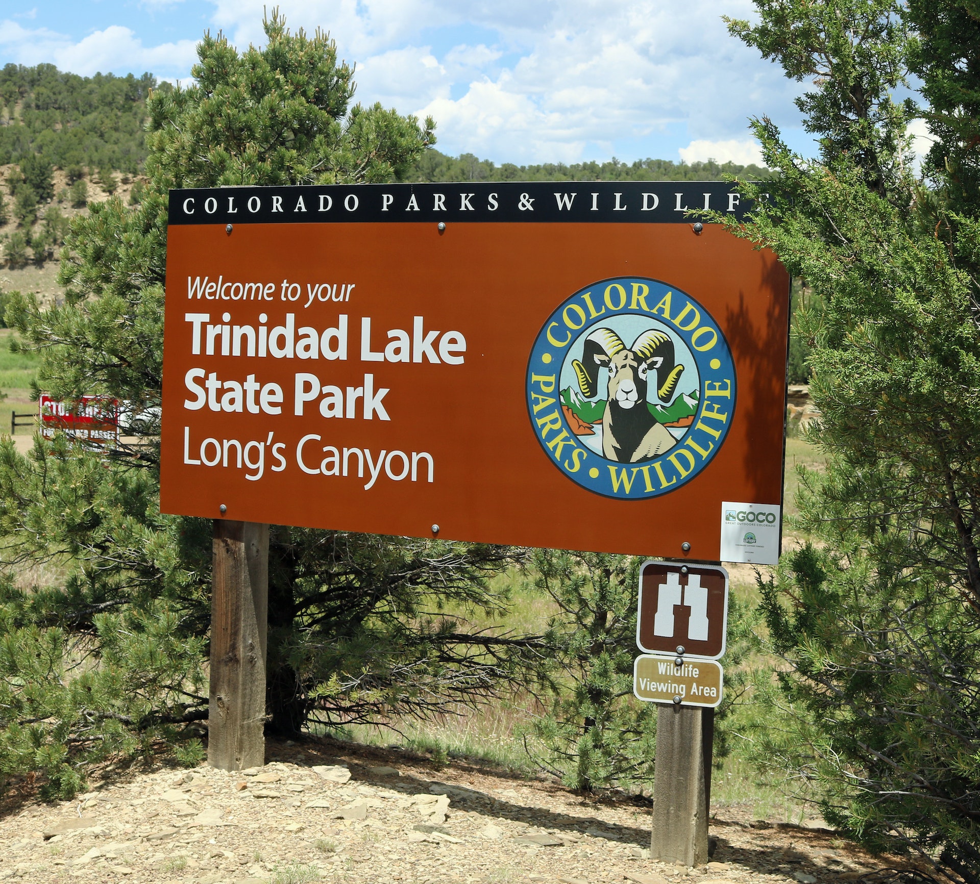