HORICON NATIONAL WILDLIFE REFUGE
HORICON NATIONAL WILDLIFE REFUGEW4279 Headquarters Road
Mayville, Wisconsin 53050
Email:

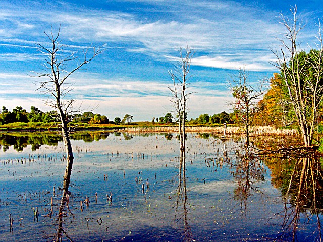
Over 21,000 acres in size, Horicon National Wildlife Refuge is located on the west branch of the Rock River in southeastern Wisconsin and encompasses the northern two-thirds of Horicon Marsh.
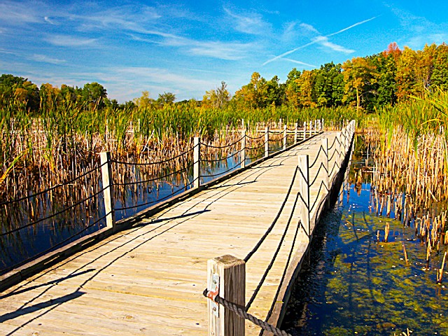
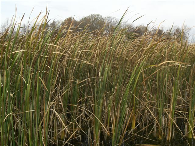
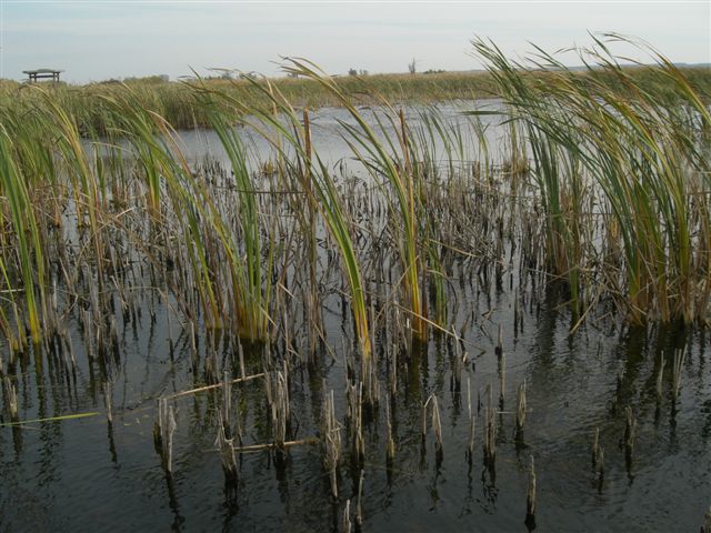
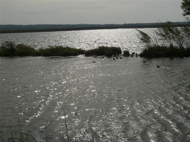
Horicon Marsh is a shallow, peat-filled lakebed gouged out by the Wisconsin Glacier about 12,000 thousand years ago. The headwaters of the Rock River, Horicon Marsh is 14 miles long and three-to-five miles wide. Branches of the Rock River, small and intermittent streams, and groundwater springs provide the water resources for the marsh. At 32,000 acres in size, it is the largest freshwater cattail marsh in the United States.
In 1990, Horicon Marsh was designated a "Wetland of International Importance" by the Ramsar Convention. It has also been designated as a "Globally Important Bird Area" by the American Bird Conservancy and a unit of the Ice Age National Scientific Reserve.
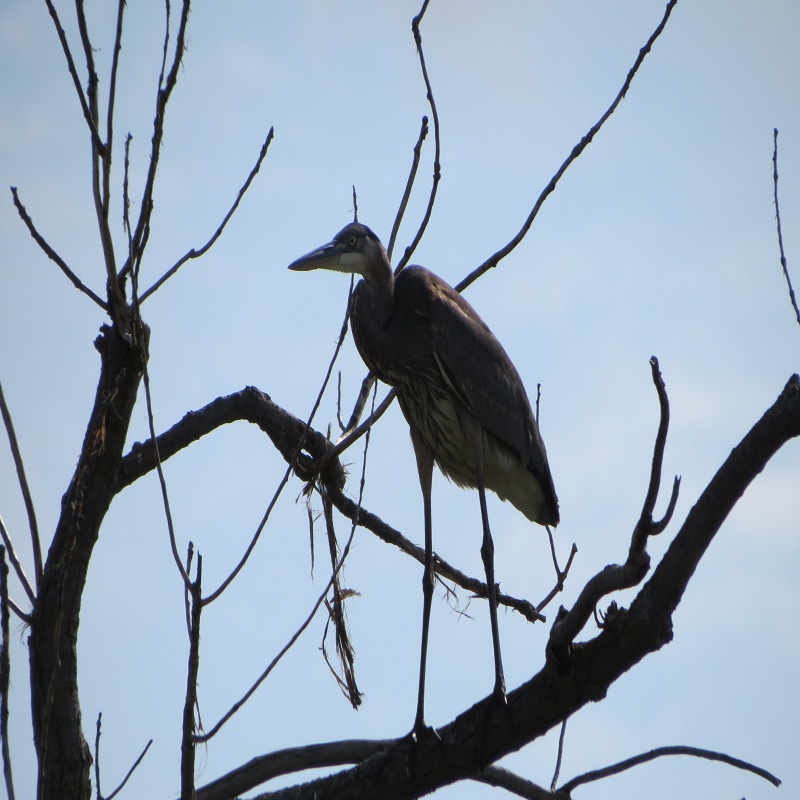
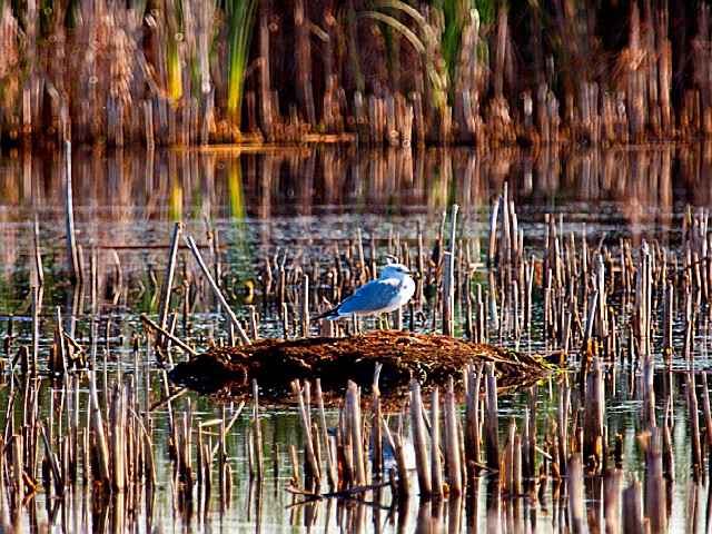
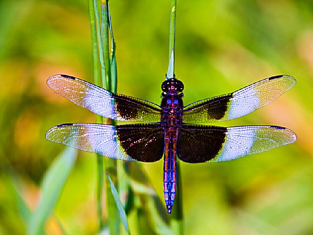
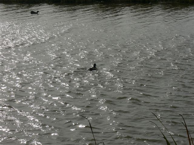
Major land types identified on the refuge include wetland (about 17,000 acres), of which the majority is classified as deep, freshwater marsh, and upland (about 4,000 acres), including grassland habitat. Up to 200,000 Canada geese stage on the refuge on a peak day in fall. The refuge provides critical habitat for ducks, cranes, egrets, herons, marshbirds, and shorebirds as well as several endangered species. Horicon National Wildlife Refuge supports the largest number of nesting redhead ducks in the eastern United States. Altogether, 223 species of birds call the refuge home.
Day-UseFishingyes
Huntingyes
Hiking Trailyes


 Share Your Horicon National Wildlife Refuge Photos (click here)
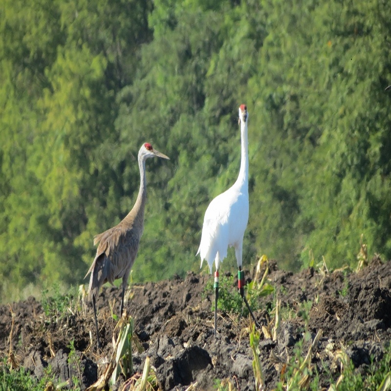