APACHE-SITGREAVES NATIONAL FOREST
The Apache-Sitgreaves National Forests, administered as one national forest, encompasses over two million acres of magnificent mountain country in east-central Arizona. The Sitgreaves National Forest was named for Captain Lorenzo Sitgreaves, a government topographical engineer who conducted the first scientific expedition across Arizona in the early 1850s.
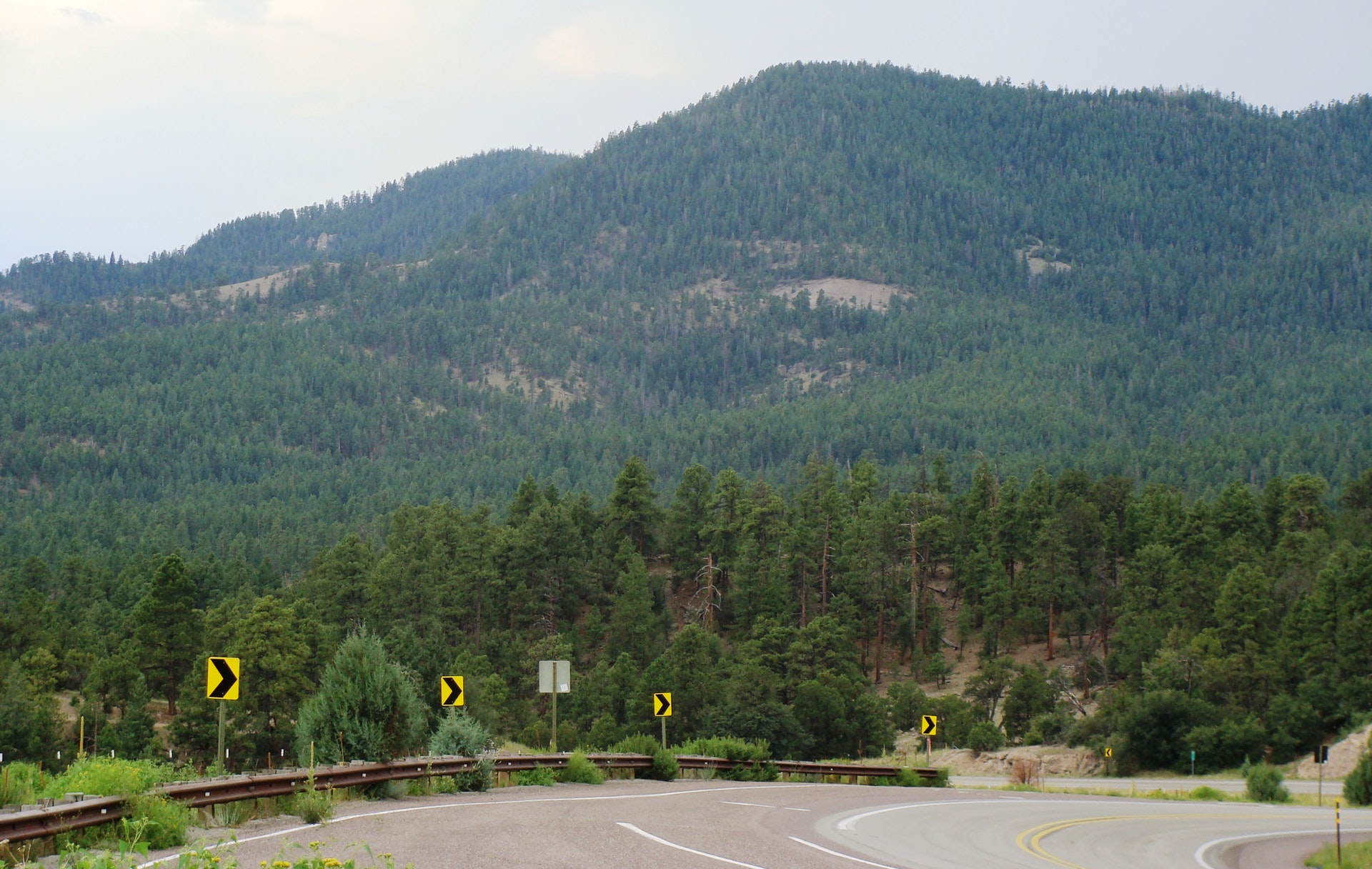
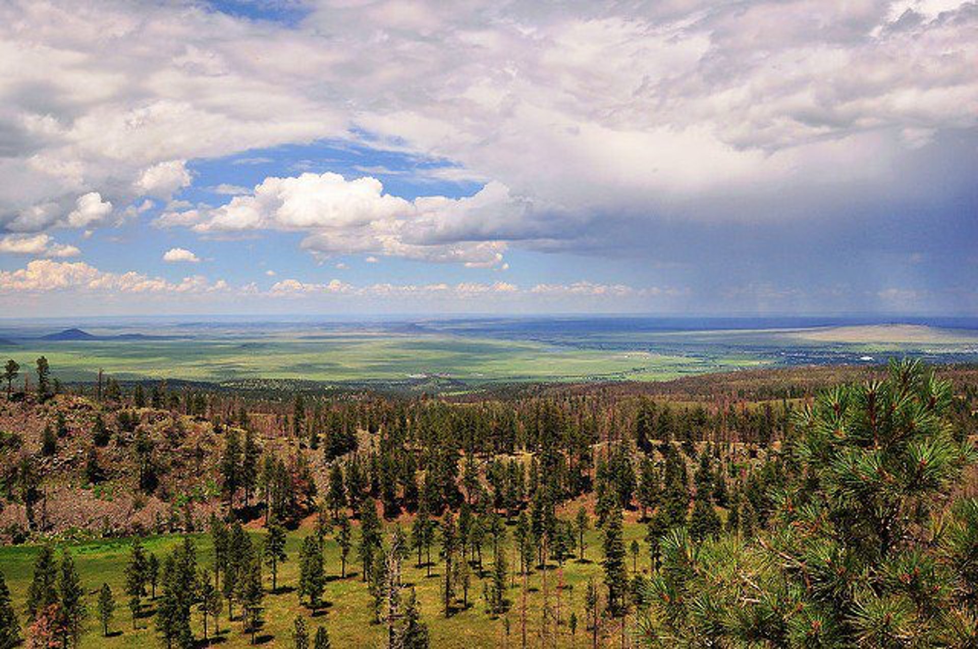
On the Sitgreaves, the major attractions for the visitors from the desert are the Mogollon Rim and eight cold-water lakes. From the Mogollon pronounced muggy-own Rims 7,600- foot elevation, vista points provide inspiring views of the low lands to the south. The Rim extends two hundred miles from Flagstaff into western New Mexico.
The Apache National Forest ranges in elevation from 3,500 feet to nearly 11,500 feet and is named for the tribes that settled in this area. The area from Mount Baldy east to Escudilla Mountain is often referred to as the White Mountains of Arizona. From the edge of the Mogollon Rim south of Hannagan Meadow, the land drops precipitously into the high desert around Clifton.
 Apache Trout Campground
Apache Trout Campground is one of five campgrounds at the Big Lake Recreation Area in Apache-Sitgreaves National Forest, and is especially popular for group camping.
With boating and fishing facilities and a variety of amenities, Apache Trout is a convenient and comfortable place to stay. Plenty of open space, shaded forests and mountain scenery make
....moreAspen Campground Aspen Campground is a scenic hideaway for anglers, boaters, families and photographers, located in north central Arizona near Heber and Payson. It sits in a dense pine and aspen area forest near the shore of Woods Canyon Lake at an elevation of 7,000 ft. With spacious campsites, calm and scenic lake waters, a marina, boat ramp and many amenities, Aspen is
....more Black Canyon Rim Campground Black Canyon Rim Campground has 20 sites of varying sizes. All sites can accommodate tents and pop-up campers. Some sites are suitable for pull trailers, 5th-wheel trailers, and motorhomes up to 40 feet.
Each campsite offers a campfire ring with grill and picnic table. Additional amenities include accessible vault toilets, drinking water and trash
....more Brookchar Campground Brookchar Campground is tucked on the banks of Big Lake in the White Mountains of eastern Arizona. The campground is a small, tent-only facility comprised entirely of walk-in sites. Of the lake's five campgrounds, Brookchar is nearest to the water. The stocked lake draws anglers, and boat rentals and a boat ramp make it easy for campers to enjoy the lake's
....more Canyon Point Campground Located in the scenic Apache-Sitgreaves National Forest in north central Arizona near the town of Heber, Canyon Point has a range of individual and group campsites to suit many visitors.
The campground sits in a heavily wooded pine and aspen area 5 miles from the popular Willow Springs Lake. Campers enjoy trout fishing both lake and stream, hiking,
....more Cutthroat Cutthroat Campground lies at an elevation of 9,000 feet in the White Mountains of eastern Arizona. It sits on the shoreline of Big Lake and affords visitors many recreational opportunities in a quiet, scenic setting. Popular activities include trout fishing and hiking.
Sites for tent camping only are scattered throughout this small facility and spaced a
....more Grayling Campground Grayling Campground offers perhaps the most secluded sites in the Big Lake Recreation Area in eastern Arizona. It sits on the shoreline of the lake in a mixed conifer and aspen forest and affords visitors many recreational opportunities in a quiet, scenic setting. Popular activities include trout fishing and hiking.
The campground is adjacent to 450-acre
....more Hoyer Campground Hoyer Campground is situated among the ponderosa pine forests of eastern Arizona, and is one of the most popular campgrounds in the area for families and seniors. Is is less than a mile from Greer Lakes in the middle of the Apache National Forest. Hiking and fishing are especially popular.
This large facility contains nearly 100 campsites. Sites are
....more Luna Lake Campground Luna Lake Campground is a pleasant vacation site with open forest, lush meadows, a lake with great fishing, first rate mountain scenery and additional recreation facilities located within easy travel distance. This friendly campground is located in an open stand of ponderosa pines within walking distance of Luna Lake and 5 miles east of the town of Alpine,
....more Mogollon Trailhead Mogollon Campground, although not directly in the Woods Canyon Recreation area, sits just outside and is only two miles from the lake. For those who like spectacular views, this campground is one of the closest to the Mogollon Rim.
Mogollon Campground is surrounded by ponderosa pines. The road to Mogollon is a sandy road off of Road 300. The campground
....more Rainbow Campground Rainbow is the largest campground in the Big Lake Recreation Area in eastern Arizona. Because of its proximity to the lake, size and the many amenities it offers, Rainbow is a favorite for families. Popular activities include hiking, horseback riding and fishing.
The facility boasts 165 campsites organized into six loops. Four double sites are available
....more Rim Campground Rim Campground is situated close to the edge of the Mogollon Rim. Spectacular 100-mile views are seen from many vantage points along the rim.
Fishing and boating are available at Woods Canyon Lake which is approximately 3 miles from the campground.
Rim Campground has 26 sites of which sites 14 through 26 are available for advanced reservation. All
....more Sinkhole Campground Located in the ponderosa pine forest, this campground is within walking distance of Willow Springs Lake which provides boating and fishing opportunities. Hiking and mountain biking opportunities are nearby in the non-motorized Wildlife Area. The General Crook National Recreation Trail is also within a mile of the campground. Be prepared for rain, often
....more Spillway Campground Spillway Campground is on the shores of popular Woods Canyon Lake near the town of Heber in north central Arizona. Situated in a pine forest with plenty of shade, the campground has individual campsites as well as one group campsite for small gatherings. Given its proximity to the lake, hiking trails and scenic areas, Spillway is a convenient getaway for
....more Winn Campground Winn Campground is situated near the Mt. Baldy trailheads and the East and West Forks of the Little Colorado River, making it an excellent choice for anglers and hikers. The facility offers many amenities and a variety of campsites, from group sites to tent-only and standard individual sites. It offers a peaceful and remote setting, as well as convenience
....more


 Share Your Apache-Sitgreaves National Forest Photos (click here)
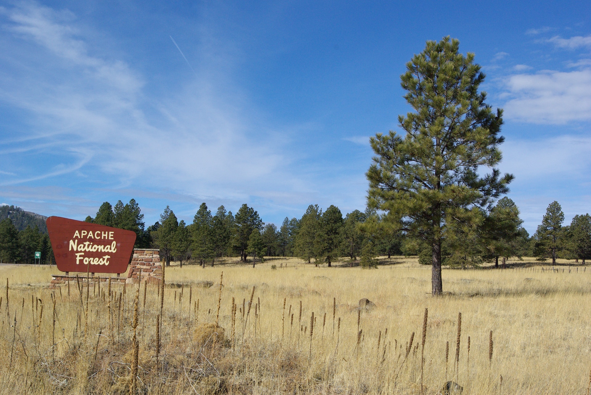