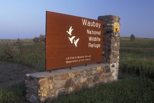
WAUBAY NATIONAL WILDLIFE REFUGE
Waubay National Wildlife Refuge NWR was established in 1935 as a safe haven and breeding ground for migratory birds and other wildlife. Waubay, in the Lakota Sioux language, means a place where numbers of birds make their nests. The Refuge encompasses 4,650 acres of wetlands, native tallgrass prairie, and bur oak forest that provide a wide variety of nesting habitat for more than 100 species of waterfowl, song birds, and upland game birds. One hundred forty additional bird species have been seen during spring and fall migrations.
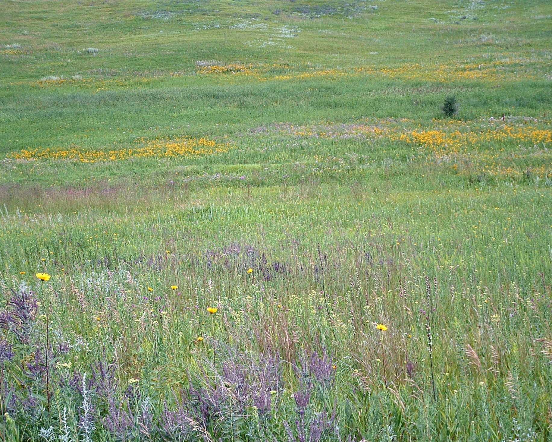
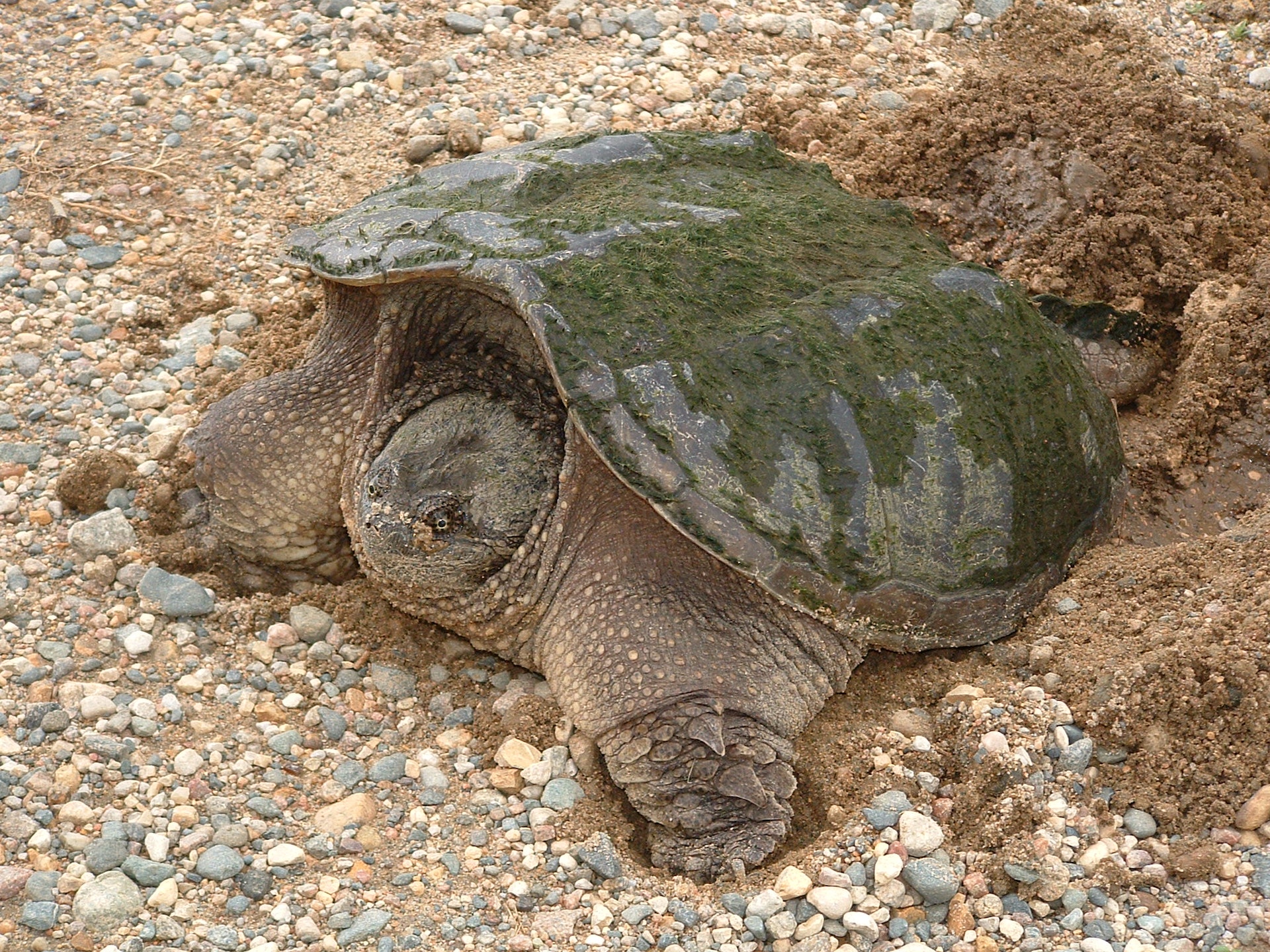
Water levels of the Refuge lakes have undergone drastic changes over the years, rising as much as 15-feet, reducing access to much of the Refuge and changing the nature of the wetlands. The once shallow waters ringed with cattails and other emergent vegetation are now deep, creating open water lakes capable of sustaining a sport fishery. American white pelicans and wood ducks are more common now than any of the grebe species or other wading birds that were once seen quite often on the Refuge. In addition to birds, there are 37 species of mammals and 11 species of reptiles and amphibians that make the Refuge home. Waubay NWR also includes the federally recognized 40 acre Hillebrand Lake Research Natural Area which includes bur oak and 35 acres of bluestem prairie cover types.
Day-UseFishingyes
Huntingyes
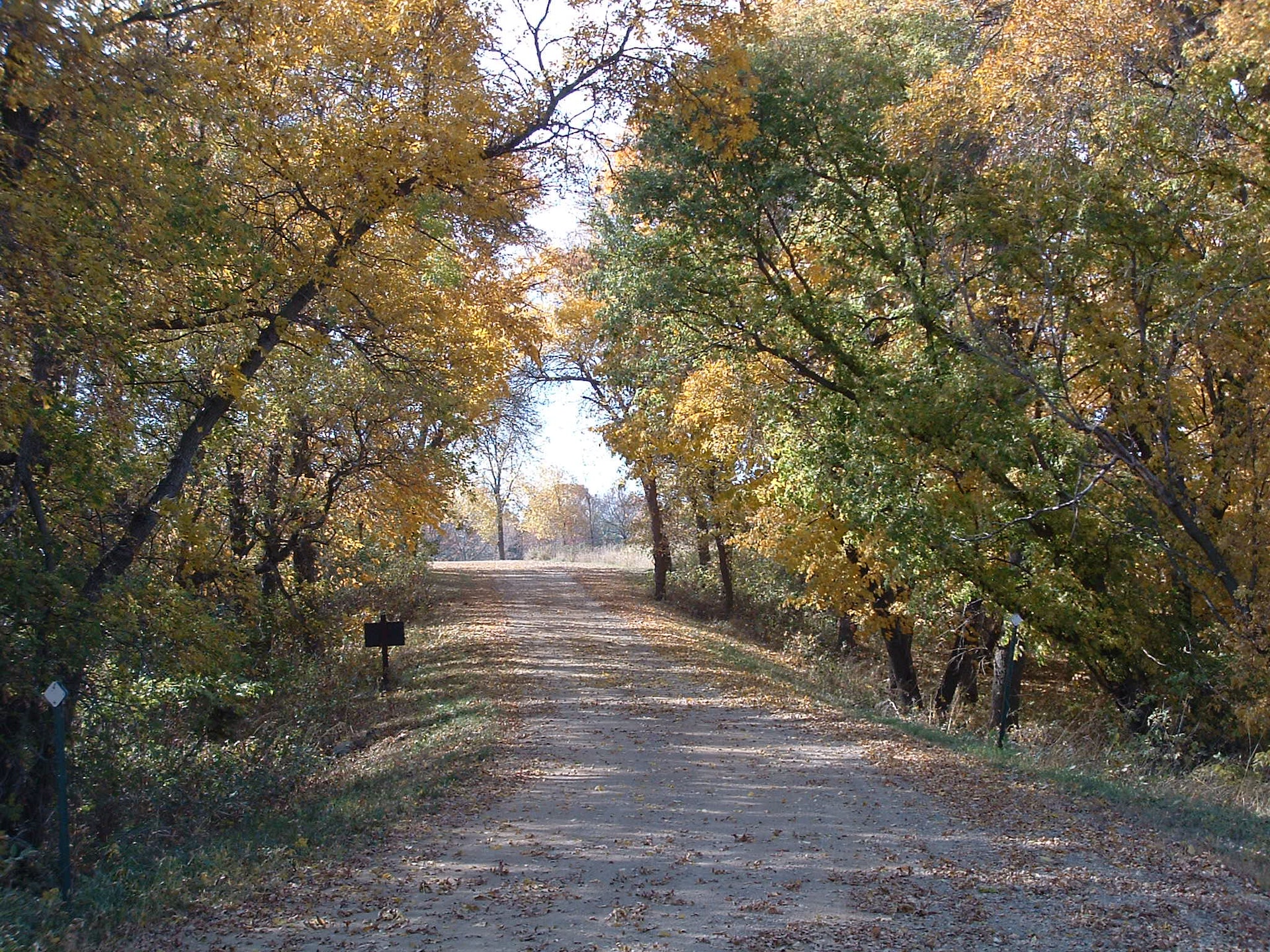
Hiking Trailyes


 Share Your Waubay National Wildlife Refuge Photos (click here)