VAN BUREN LAKE STATE PARK
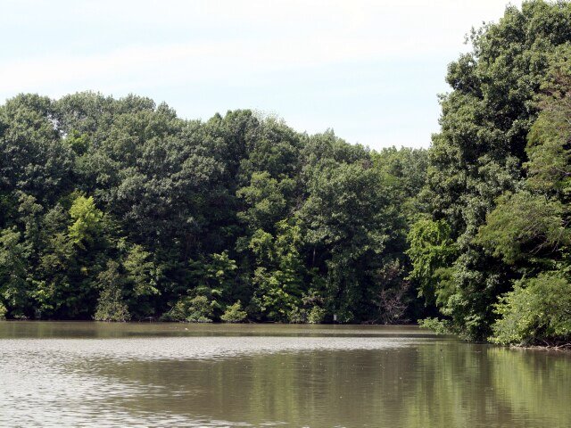
Van Buren State Park offers a quiet retreat with fishing and picnicking opportunities. The woodlands are a small but valued refuge in the rich agricultural land of northwestern Ohio.
Van Buren State Park lies in the rich agricultural plains of northwest Ohio. The plains, referred to as till plains, receive their name from the glacial debris, or till, which covers preglacial hills and valleys. The till plains are the result of the deposition and smoothing action of the glaciers. Most hills in these areas are mounds of boulders and soil left by the retreating Wisconsinan glacier. Beneath the almost continuous cover of glacial deposits lies sedimentary bedrock which, in this region, is mostly limestone with a little shale. Much of this limestone is the magnesium-bearing form called dolomite.
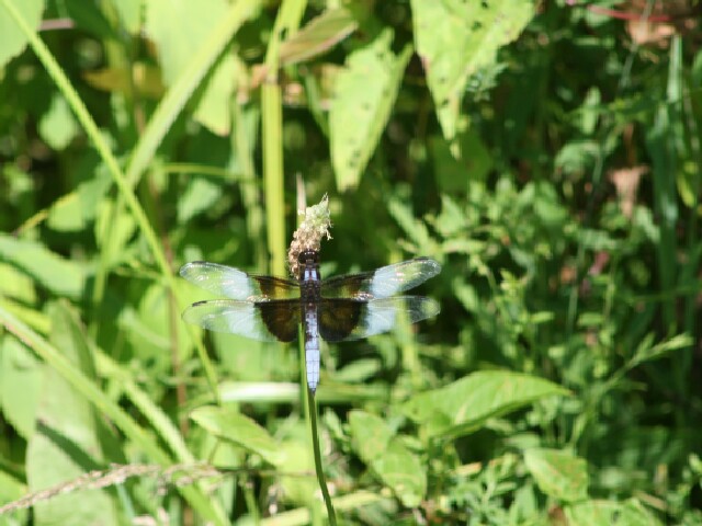
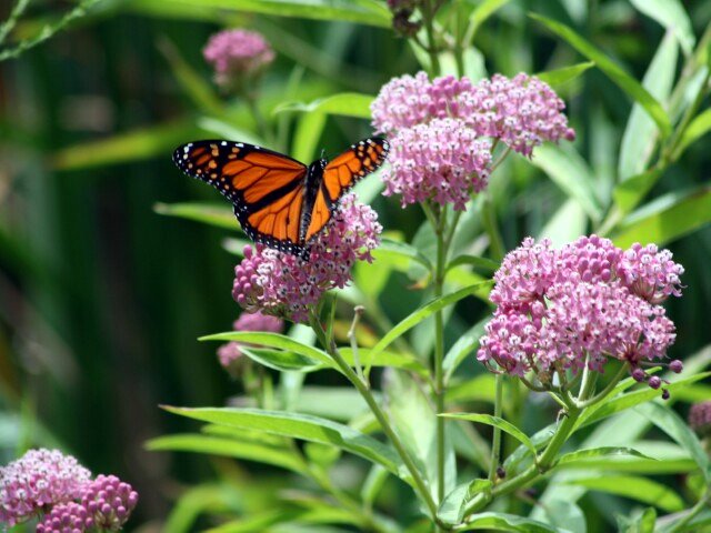
The original vegetation of the area, before settlement, was mostly woodland. Today, much of the vegetation consists of farm crops such as corn, soybeans and wheat. Locally, a small but valuable remnant of the original woodland remains. Beech and sugar maple occupy a large portion of the wooded area in Van Buren State Park. Mammals found in the area include red fox, red squirrel, white-tailed deer, raccoon, skunk and opossum. Other animals found are the eastern garter snake, spring peeper, eastern bluebird, eastern meadowlark, cowbird, woodcock and short-eared owl. Wildflowers abound in the fields and woodlands of the area. Dutchman's breeches, spring beauty, thimbleweed, daisy fleabane and chicory are commonly found around the park.
The Van Buren State Park region was originally inhabited by the Shawnee Indians. Banished from their homeland in south-central Ohio, this was the last stronghold of the tribe before they eventually departed for lands west of the Mississippi River. Indian artifacts and relics can still be found on what used to be Indian Island, located in the northwest section of the lake.
Van Buren is located just north of the town of Findlay which was founded in 1821. The development of the town was quite slow until the discovery of natural gas in the 1880s. A German physician named Charles Osterlen became convinced that an enormous reservoir of natural gas lay beneath the town of Findlay. He told of his belief and was scoffed at and regarded as a vain dreamer. But his patience and perseverance prevailed as he succeeded in organizing a stock company to drill for gas. The well was successful and spawned the growth of a great industry in Findlay. At one time, Findlay claimed the largest gas well in the world, with an output of 20 million cubic feet daily.
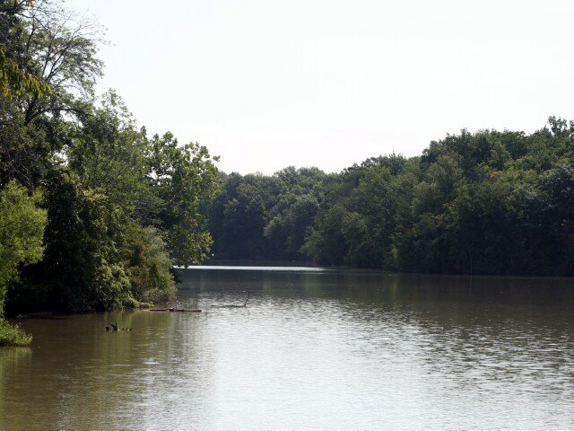
The land comprising Van Buren State Park was originally set aside as a wildlife preserve. In 1939, a dam was constructed over Rocky Ford Creek to provide additional fish and wildlife resources. In 1950, the area was turned over to the newly created Division of Parks and Recreation. It has been maintained as a state park ever since. The park was named for Martin Van Buren--eighth President of the United States.
Ohio does not have an annual pass and does not charge entrance fees to state parks.
GeneralLand, acres251
Water, acres45
Day-UseFishingyes
Huntingyes
Hiking Trail, miles10
Picnickingyes
Picnic Shelters, #4
Bridle Trails, miles6
Nature Centeryes
Nature Programsyes
BoatingBoating Limits-1
CampingPrimitive, #19
Electric Sites, #10
Pets Permittedyes
Dumpstationyes
Group Camp, capacity200
Horsemen Campsites, #31
WinterCross-Country Skiingyes
Ice Skatingyes
Ice Fishingyes
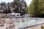
Van Buren offers a campground with 40 non-electric sites. Tables, pit latrines and a dump station are provided. A primitive, walk-in, youth-group camping area is located in the southeast section of the park and is available by reservation. Pet camping is permitted on designated sites.


 Share Your Van Buren Lake State Park Photos (click here)