TIADAGHTON STATE FOREST
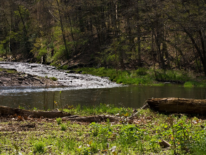
The Tiadaghton State Forest is one of twenty forest districts created for the protection and management of Pennsylvania's forest lands. Tiadaghton was the name the Iroquois gave to Pine Creek, the largest tributary of the West Branch of the Susquehanna River. The exact meaning of Tiadaghton is a mystery that may be locked forever in the folklore of the Iroquois Indians.
The Tiadaghton State Forest is comprised of approximately 215,500 acres of state forest land, most of which is in Lycoming County. Small portions extend into Tioga, Sullivan, Potter, Clinton, and Union counties.
Tiadaghton State Forest is located near Jersey Shore, Lewisburg and Mifflinburg
The Black Forest Trail is a 42 -mile hiking trail built by the Bureau of Forestry. It utilizes old railroad grades, logging trails and foot trails to traverse some of the most spectacular terrain in Pennsylvania. Portions of this trail follow foot paths originally constructed by the Civilian Conservation Corps (CCC) in the 1930s. A trail map and guide is available from the Tiadaghton Forest Fire Fighters Association. Contact the District office for details on how to obtain a copy.
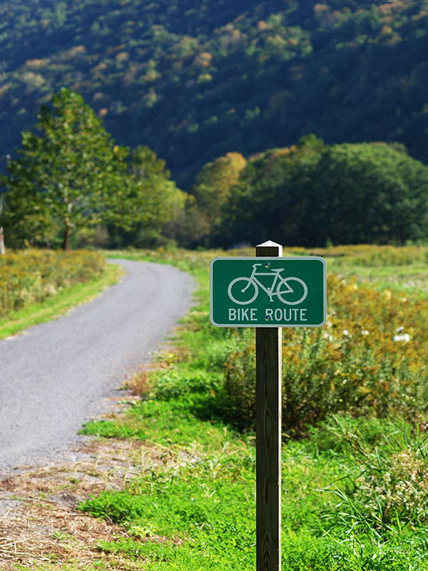
The Pine Creek Trail is being developed by the Bureau of Forestry on the abandoned railroad grade that parallels Pine Creek. When completed, the trail will extend 62 miles form Jersey Shore in the Tiadaghton State Forest north to Wellsboro Junction in the Tioga State Forest. The trail will be used primarily for bicycling, cross country skiing and walking.
Cross-country skiing has become a popular winter recreational activity. Over 30 miles of cross-country ski trails are marked and maintained. Maps are available from the Bureau of Forestry.
The Old Loggers Path is a 27-mile hiking trail that passes through the valleys of Rock Run and Pleasant Stream as well as Masten, once the site of a major logging town with over 1,000 residents. The footpath utilizes old logging trails and logging railroad grades.
The Loyalsock Trail is a 59-mile hiking trail that begins along State Route 87 north of Mountoursville and ends on U.S. Route 220 north of Laporte. Fourteen miles of this trail are located on the Tiadaghton State Forest.
E Hille Angler's Supply House
811 S Market St
Williamsport, PA
(570) 323-7564
Tom's Tackle
1643 Memorial Ave
Williamsport, PA
(570) 326-7929
Fishing Creek Outfitters
346 Broad St
Montoursville, PA
Unverified listing
Fairfield Inn & Suites
1840 E 3rd St
Williamsport, PA
(570) 601-9200
Radisson Hotel Williamsport
100 Pine St
Williamsport, PA
(570) 327-8231


 Share Your Tiadaghton State Forest Photos (click here)
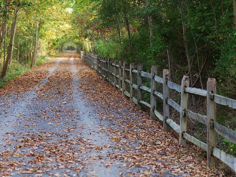