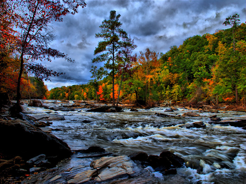
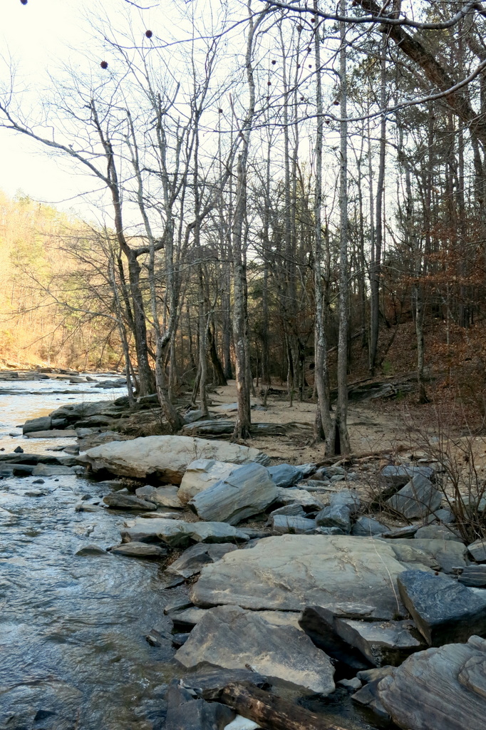
SWEETWATER CREEK STATE PARK
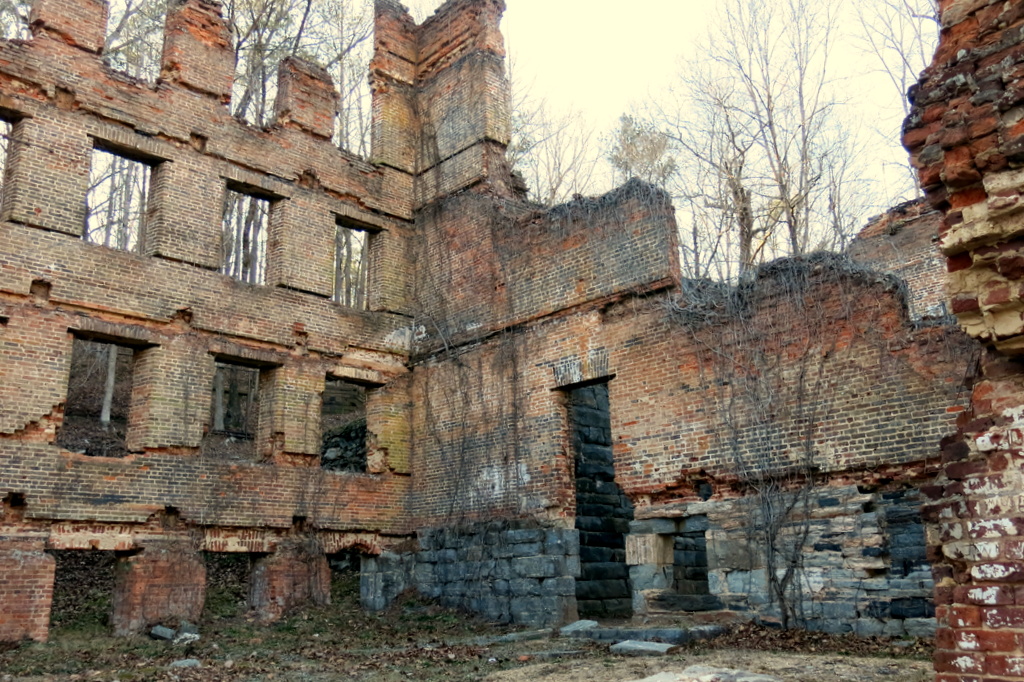
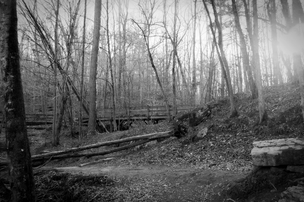
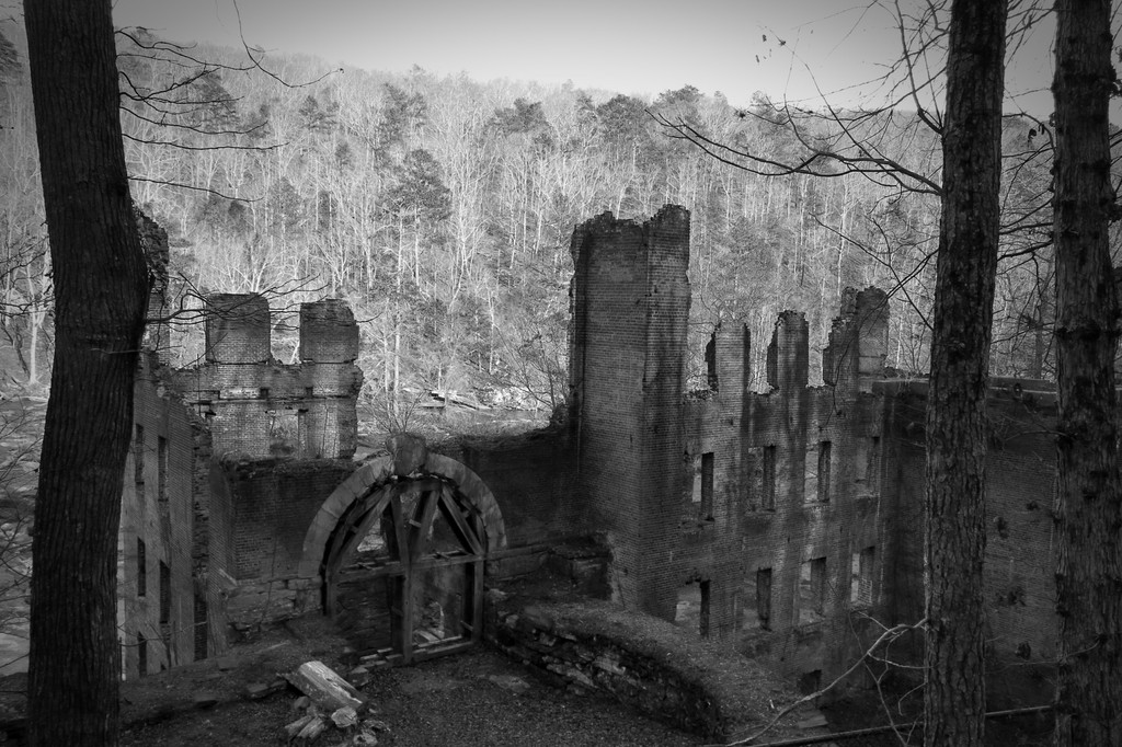
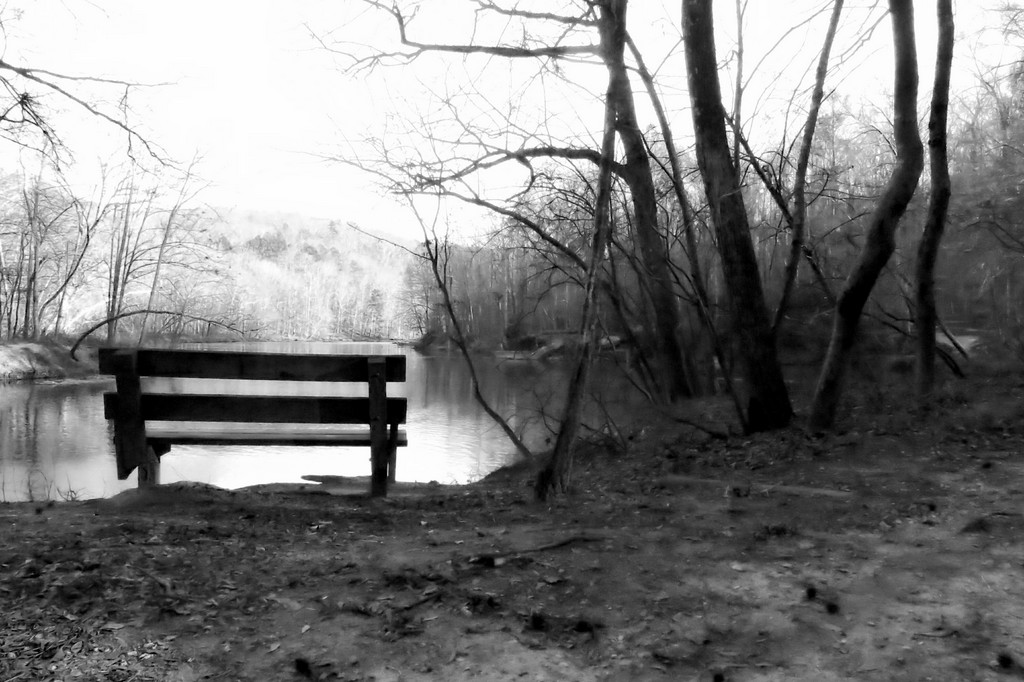
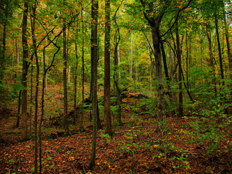
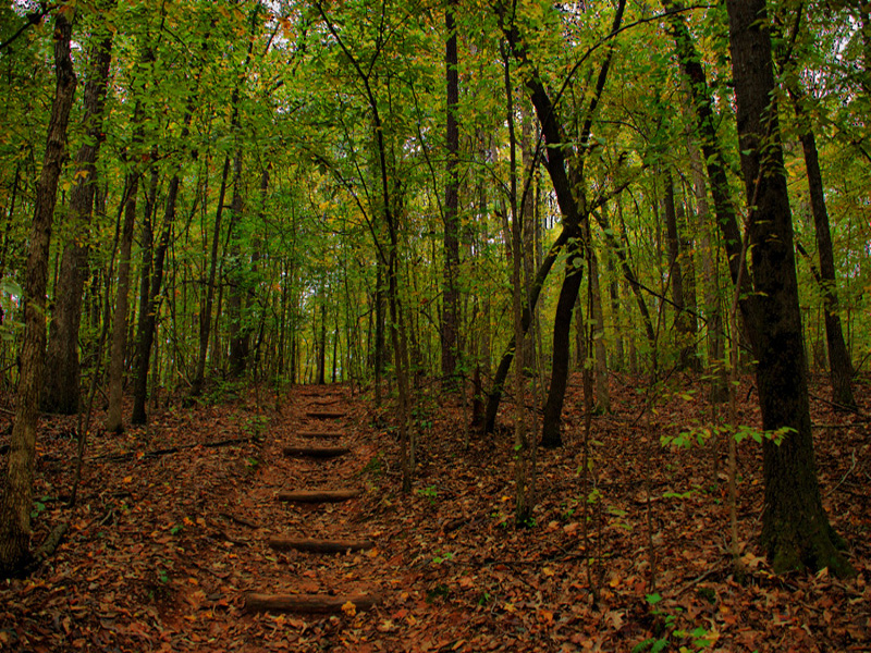
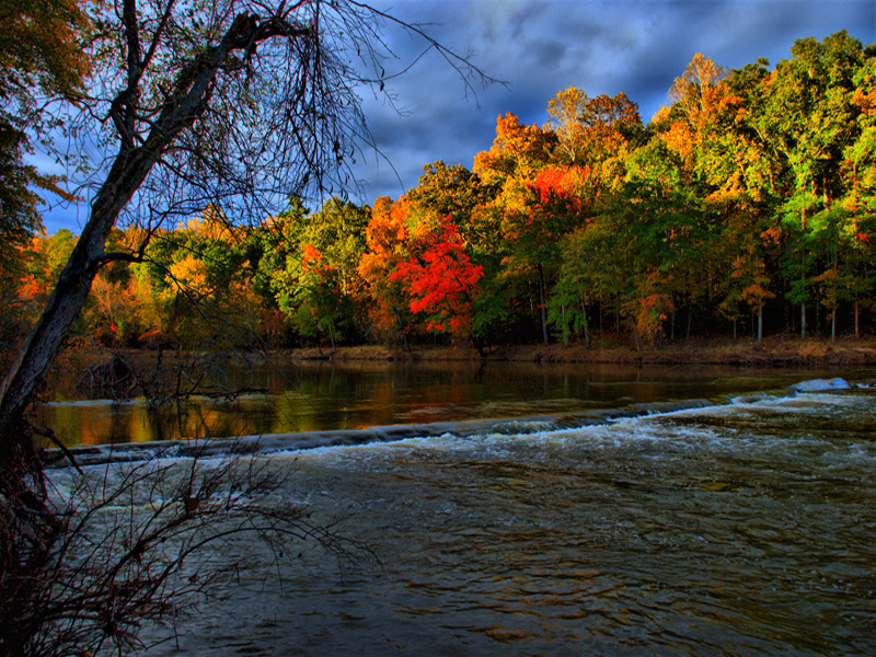
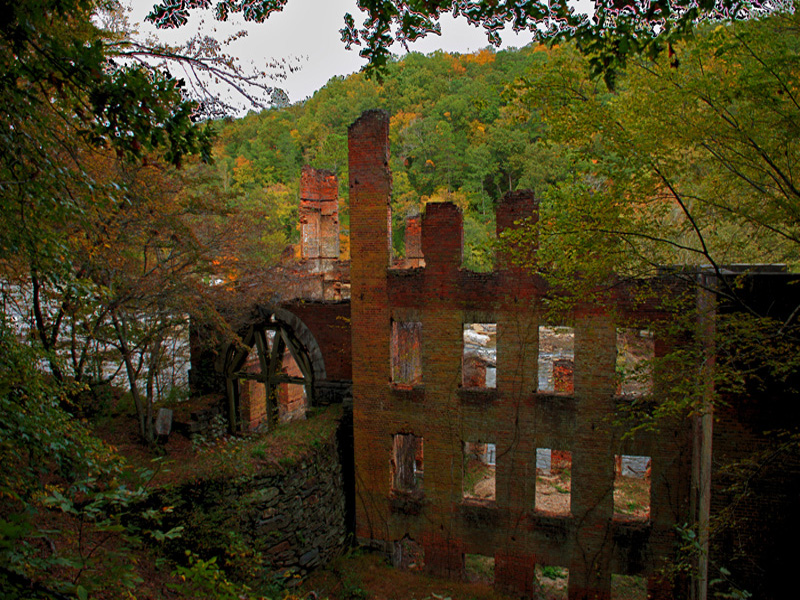
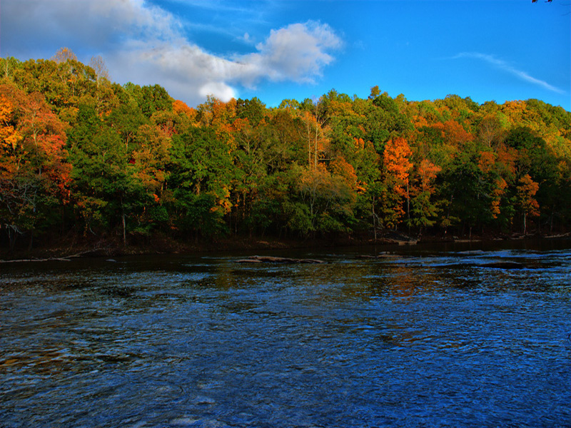
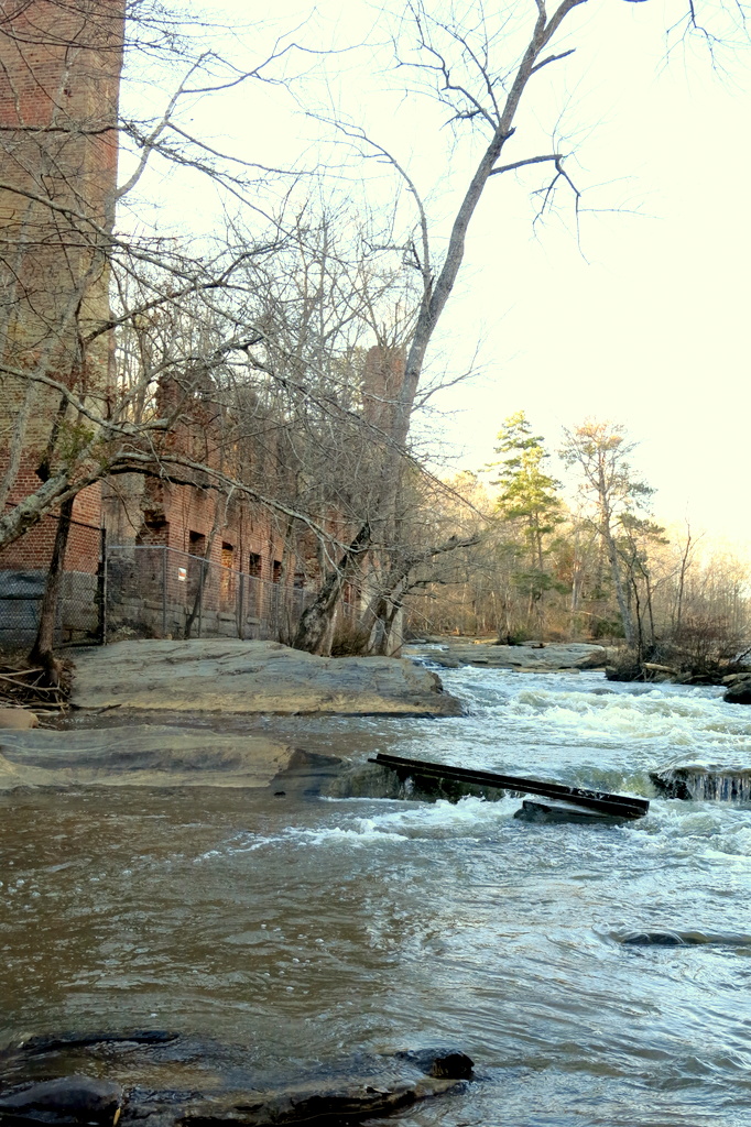
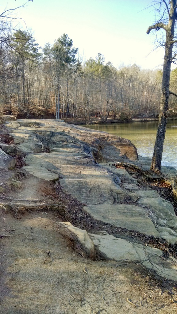
Sweetwater Creek is a peaceful tract of wilderness only minutes from bustling downtown Atlanta. The most popular trail (red) follows the free-flowing stream to the ruins of the New Manchester Manufacturing Company, a textile mill burned during the Civil War. Beyond the mill, the trail climbs rocky bluffs to provide views of the beautiful mile-long stretch of white-water rapids below. The 215-acre George Sparks Reservoir is popular with anglers and provides a pretty setting for feeding ducks and canoeing. Fishing supplies are available in the park?s bait shop, while wildlife and history displays, trail maps, snacks and gift items may be found in the Visitor Center -- the most environmentally responsible building in Georgia (LEED-NC PLATINUM).
Park Hours: 7AM-10PM Daily Visitor Center/Office Hours: 8AM-5PM Thursday through Sunday Trails close at dark; other areas close at dark if not in use.
Before its designation as a protected area, the land surrounding Sweetwater Creek was used for agriculture and milling. The park is home to the ruins of the New Manchester Manufacturing Company, a textile mill burned during the Civil War in 1864 by Union forces.
The factory's history reflects Georgia's industrial growth and wartime struggles. Post-Civil War, nature reclaimed much of this site until state protection efforts began.
Established in 1972 due to conservation initiatives led by local citizens concerned about urban sprawl from nearby Atlanta, it has since expanded recreational opportunities while preserving natural resources and historical sites.
Over time facilities have been added including trails, picnic areas, a visitor center with museum exhibits on both ecology and history; also offering educational programs emphasizing environmental stewardship alongside cultural heritage appreciation.
Conference Room dimension 24' x 34'. Seats up to 40 people. Room divider, restrooms, heat and air, projector with screen, TV monitor with DVD player and dry erase board. The Conference Room can only be reserved through the Park Office at 770-732-5871 or 770-732-5873 between the hours of 8:00 a.m - 5:00 p.m 7 days a week. Cancellations must be made 30 days in advance. A $10 cancellation-handling fee will be applied. A forfeit of deposit if cancellation made inside 30 days of arrival.
1. Yurt Village: Features 10 yurts with decks, picnic tables, grills, and fire rings.
2. Tent Campsites: Offers walk-in tent sites for a traditional camping experience.
3. Group Lodge (Pioneer Camp): Available to organized groups by reservation only; includes outdoor facilities like pit toilets but no showers or kitchen.
Visitors can enjoy a variety of boating options. The park offers rental services for kayaks, stand-up paddleboards and pedal boats on the 215-acre George Sparks Reservoir. Fishing boats are also available to rent but only electric motors are allowed in order not to disturb the wildlife or other visitors enjoying their time at this peaceful location.
Enjoy fishing in a 215-acre lake, home to largemouth bass, catfish and crappie. Fishing boats are available for rent.


 Share Your Sweetwater Creek State Park Photos (click here)
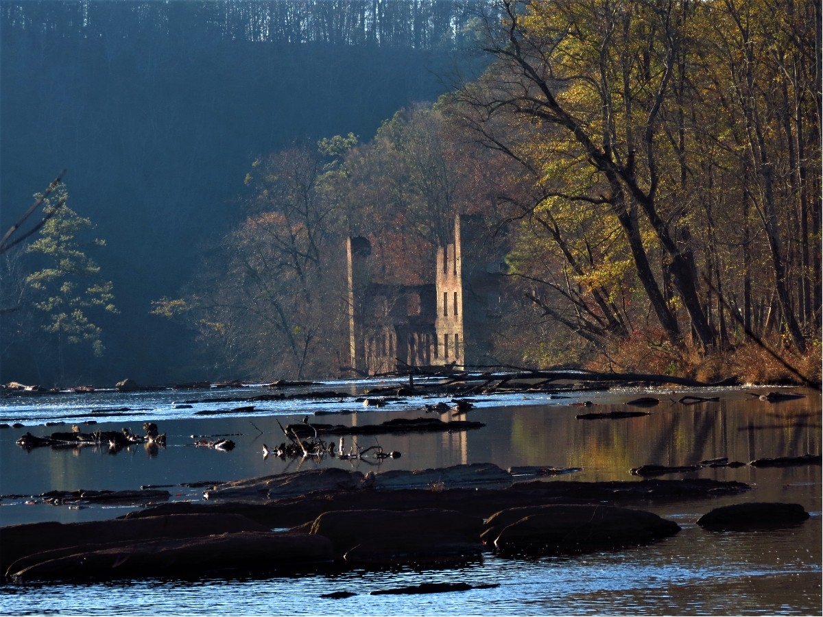