© Scott Jarvie VIEW PHOTO GALLERY
Facilities and Activities:
| Day-Use | Fishing | yes | | | Hiking Trail, miles | yes | | | Picnicking | yes |
State Park Location Maps:
 (click here to zoom and navigate local map)
 (click here to zoom and navigate regional map)
View TOPO Maps!
State Park Photo Gallery:
volunteer positions open
State Park Event Calendar:
volunteer positions open
© Scott Jarvie VIEW PHOTO GALLERY
Nearby Parks: Fish Creek National Recreation Trail
|
|
| State Park Overview: |
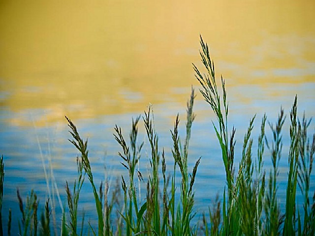
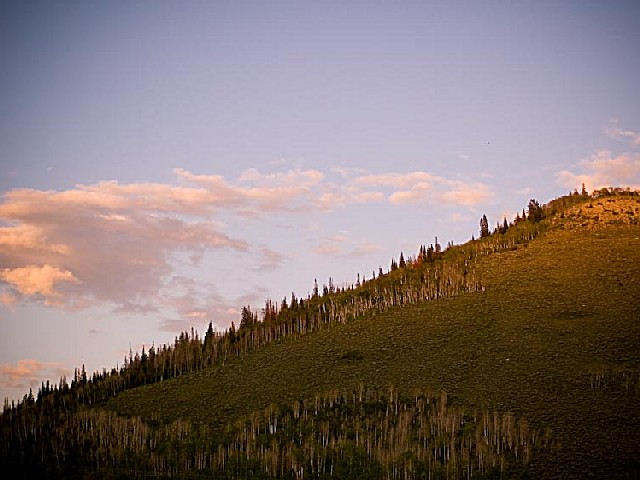
 | Scofield is both a summer and winter recreation delight. It is situated 7,600 feet above sea level in the Manti-LaSal Mountains of the Wasatch Plateau. The 2,800-acre lake offers excellent boating and year-round fishing. During winter months, the area serves as a base for snowmobiling and cross-country skiing in spectacular mountains surrounding the park. <P>Scofield State Park is off U.S. Highway 6, just 10 miles southwest on State Route 96. Three state-owned facilities are available for recreationists. Mountain View, located six miles north of Scofield, offers a 34-unit campground, modern rest rooms, hot showers, fish cleaning and sanitary disposal stations, day-use area, and boat launching ramp. Madsen Bay, located on the north end of the reservoir, is a popular area for groups and family reunions. Facilities include a 40-unit campground, modern rest rooms, fish cleaning and sanitary disposal stations, boat ramp and parking. Lakeside day-use area offers modern rest rooms, group-use pavilion and a fishing platform for the disabled. |
| Reviews By Park Visitors: |
 | Be the 1st to Review Scofield State Park. You can rate it, post a comment on it, or do both. |
 | |
| History of the Area: |
| Settlers came to Pleasant Valley in the 1870s because of large tracts of grazing land. Scofield was named after General Charles W. Scofield, a timber contractor who became president of the state?s first coal mining company. Mining peaked in the early 1920s when Scofield had 12 stores, 13 saloons, four large hotels, a post office, and a population of more than 6,000 residents. Today, less than 100 reside in the town. |
 | |
|
| |
|  | Note to Park related businesses: List your vacation cabin, weekend getaway, log cabin rental, romantic cottage, vacation home, resort, hotel, motel, bed and breakfast, country inn, campground, RV park, horseback riding stable, canoe livery, river rafting, outfitting, sporting goods store, guide service, RV rental or any other park related activity, park related attraction or park related service on Google or StateParks.com. (more).... |
|
| Related Links: |
 | Scofield State Park | Utah.com - ... and cross-country skiing in spectacular mountains surrounding the park. Scofield State Park is off U.S. Highway 6, just 10 miles ... challenged, contact the park. Scofield State Park P.O. Box ... |  | THINGS TO DO IN UTAH - SCOFIELD STATE PARK - Scofield is both a summer and winter recreation delight. It is situated 7,600 feet above sea level ... Scofield State Park Description Scofield is both a summer and winter recreation delight. It ... |  | THINGS TO DO IN UTAH - EASTERN UTAH - Things to do in Eastern Utah. ... twisting dirt road that stage and freight coaches traveled in the 1800s. Scofield State Park - Scofield is both a summer and winter recreation delight. It is situated ... |  | Scofield State Park - Scofield State Park Scofield Resevoir Scofield State Park is both a summer and winter recreation area located 7,600 feet above sea level in the Manti-LaSal Mountains northwest of Price, Utah. The ... |  | Scofield State Park in Utah - Detailed information about Scofield State Park in Utah. One of hundreds of parks and attractions covered by GO-UTAH.COM, Utah's ... vacation to Utah! Scofield State Park Scofield State Park on ... |  | TOURISM - ... Canyon Buckhorn Wash Dead Mans Trail Temple Mountain The Maze .. TOP .. MOUNTAIN: ... Scofield State Park Huntington State Park Millsite State Park .. Joes Valley Manti-Lasal National Forest ... |
| Directions: |
| Take I-15 south to the Price - Manti Exit. Go east on SR6 approximately 6 miles from Soldier Summit; turn right at railroad crossing on SR96. Ten miles to park. |
 |
| |
| |
|