MCCONNELLS MILL STATE PARK
McConnells Mill State Park, in Lawrence County, encompasses 2,546 acres of the spectacular Slippery Rock Creek Gorge. The park is open from sunrise to sunset, year-round.
Glacial History
If you stood at the Cleland Rock Vista (see the map for location and below for a photograph) 200,000 years ago, you would be standing on a ridge at a drainage divide. Water to the north flowed north and water to the south flowed south. If you stood at the same location about 140,000 years ago, you would be standing at the edge of a small lake dammed by several hundred feet of ice. The ice was the edge of a continental glacier that covered most of North America north of Cleland Rock. The glacier dam created small Lake Prouty by Cleland Rock. To the north was larger Lake Watts (modern Lake Arthur is a small recreation of Lake Watts) and further north was giant Lake Edmund.
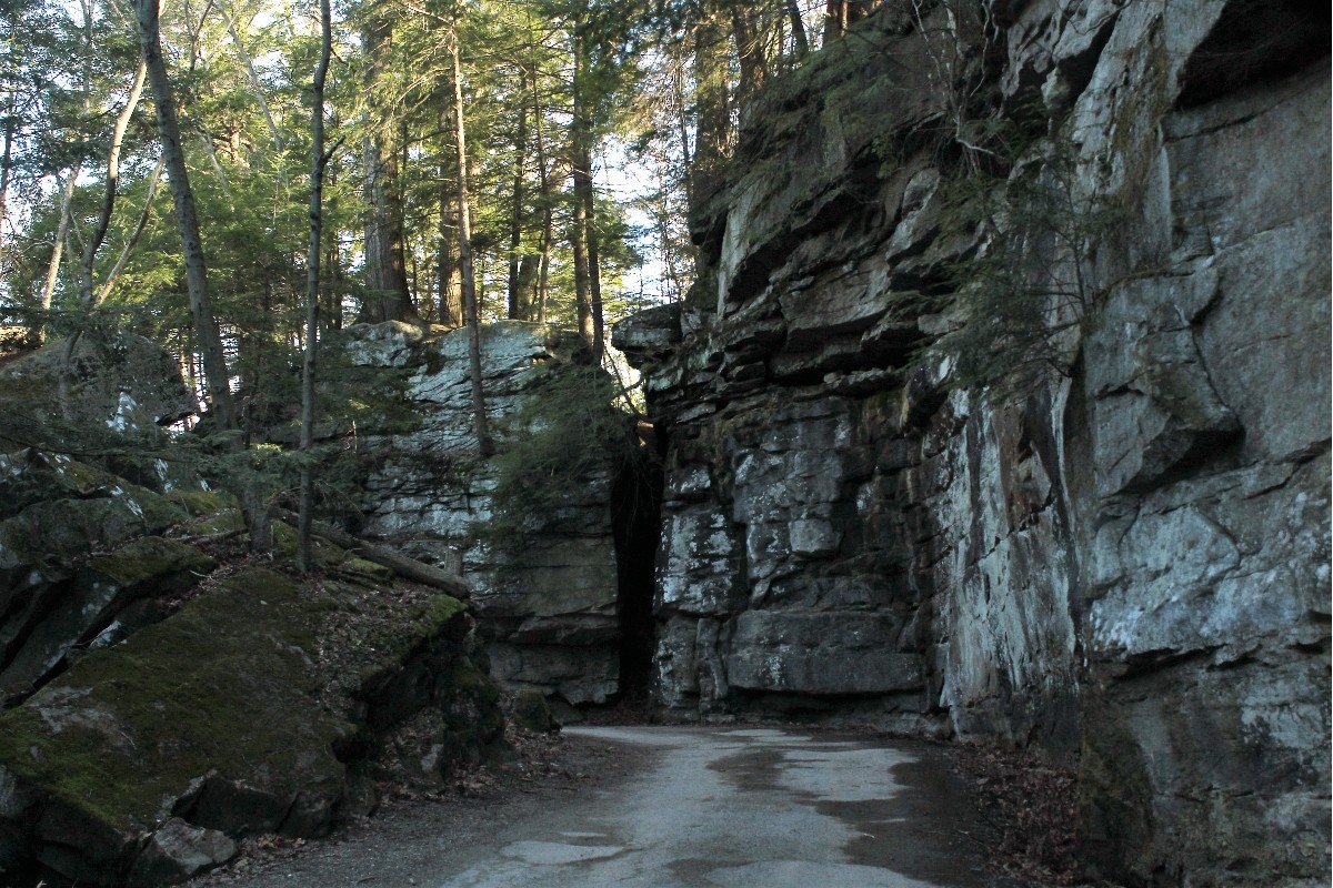
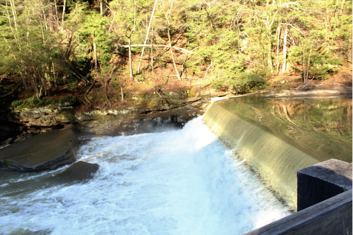
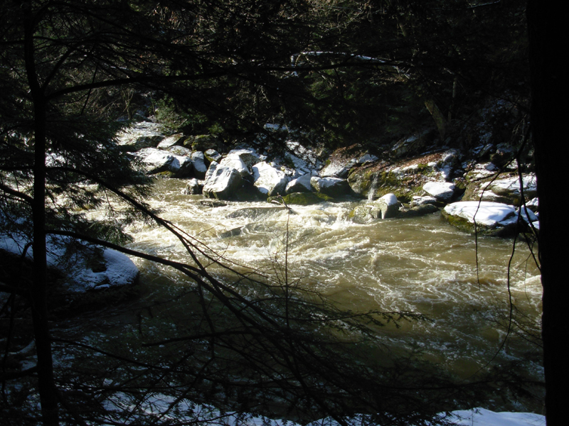
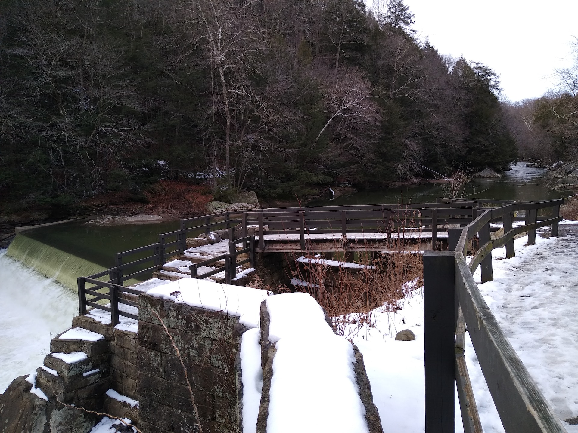
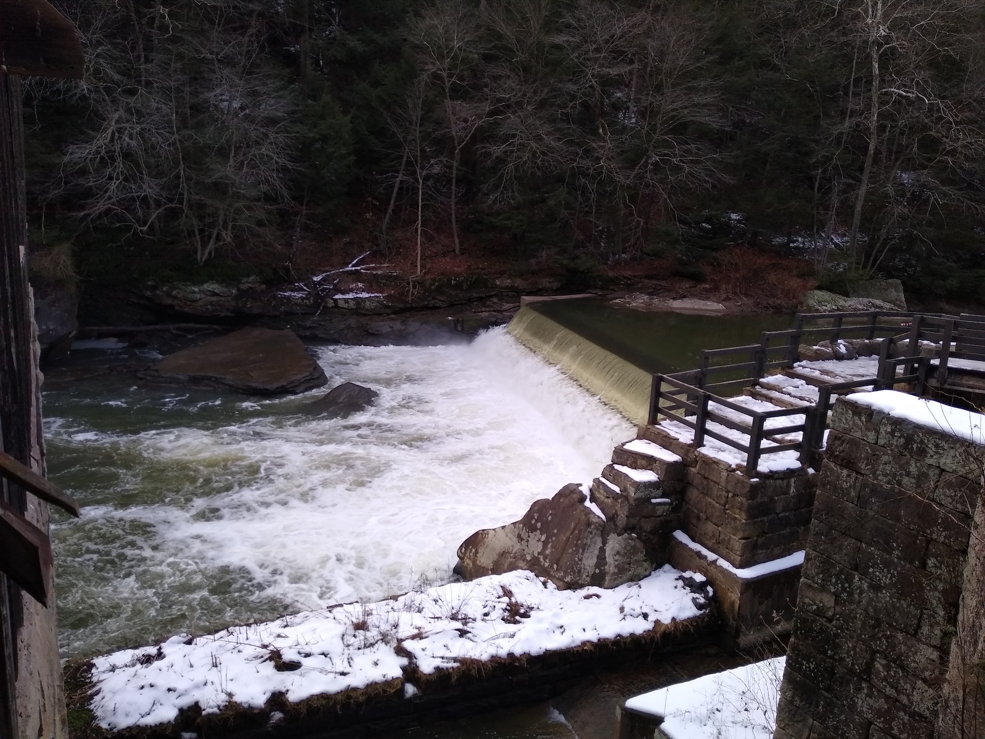
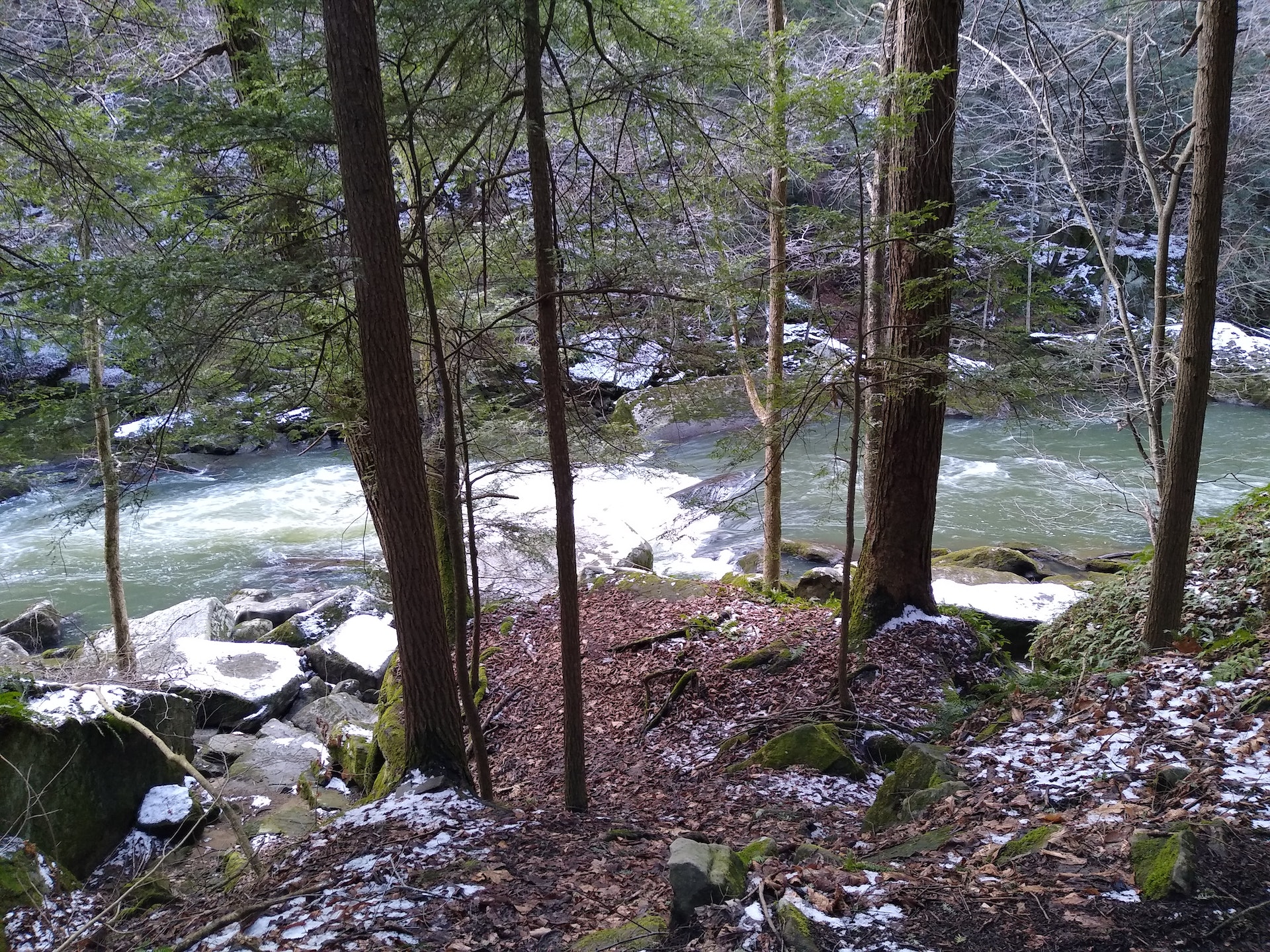
Eventually Lake Prouty spilled over the ridge near Cleland Rock and began carving Slippery Rock Creek Gorge. As the glacier retreated, Lake Watts drained into the channel, enlarging and deepening the gorge, then Lake Edmund swiftly poured into the channel, scouring the gorge to over 400 feet deep. When the glacier finally retreated back to the north, Slippery Rock Creek Gorge was so deep that streams that normally flowed north, now flowed south, as the streams do today. The swift erosion of the gorge created its swift water and the many boulders that offer great challenges to modern whitewater boaters.
Which Rock is Slippery Rock?
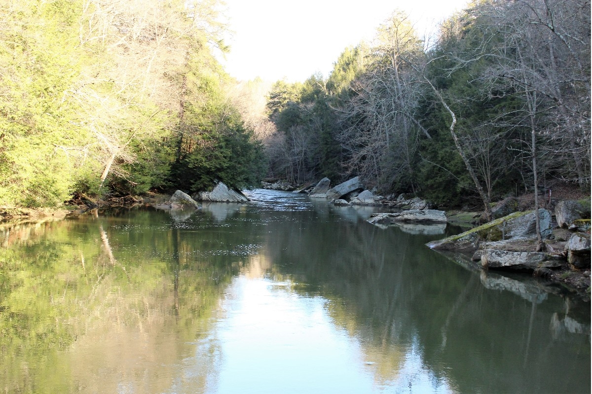
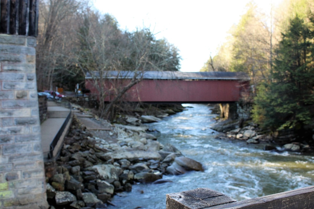
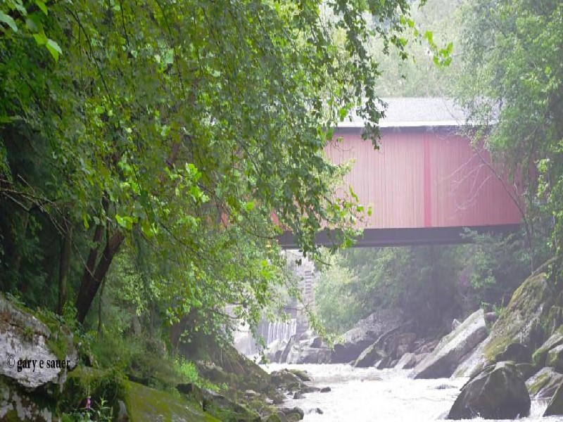
Slippery Rock Creek is 49 miles long and full of slippery rocks, yet is named for one exceptionally slick rock below the Armstrong Bridge. It is believed that an Indian trail forded the creek at a shelf of sandstone near a natural oil seep, which made the rock exceptionally slippery, and gave its name to the creek, a town, a university, a rock formation and many local businesses. In the late 1800s, oil wells briefly flourished in the valley, but the oil was swiftly invaded by groundwater and the wells were abandoned. The oil wells drained the oil seep and the Slippery Rock is no longer covered in oil.
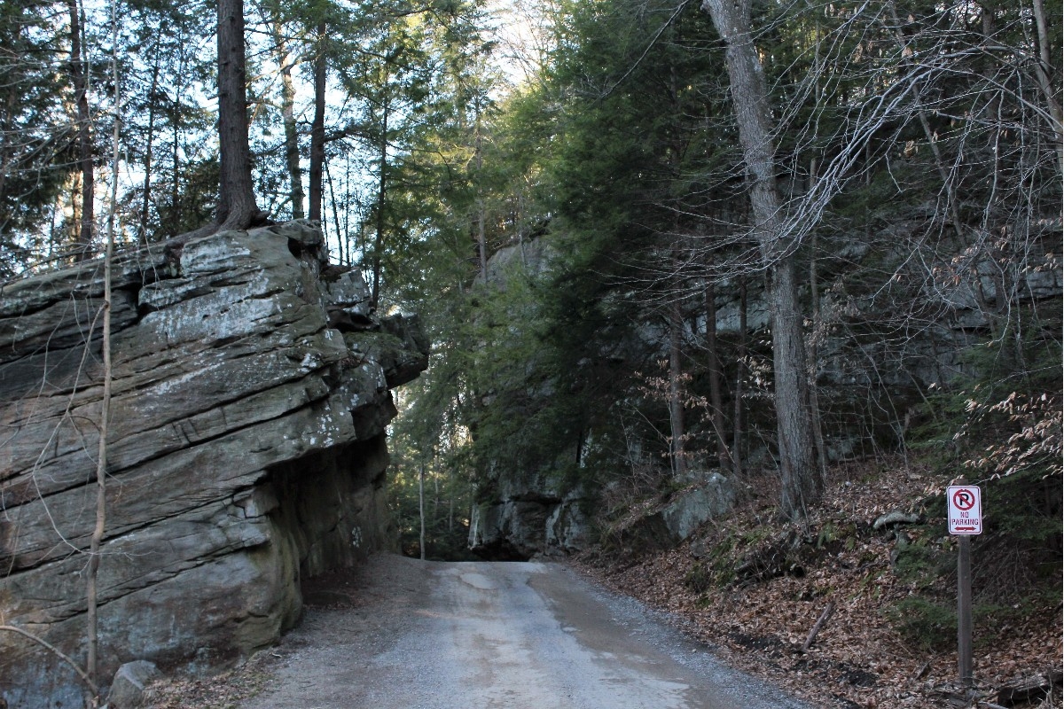
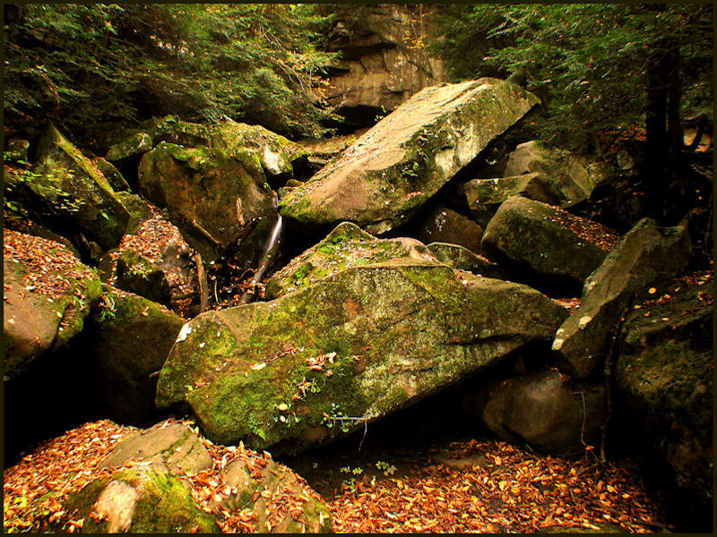
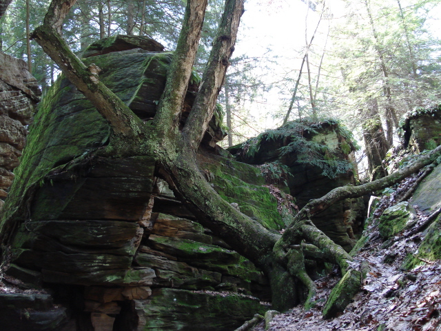
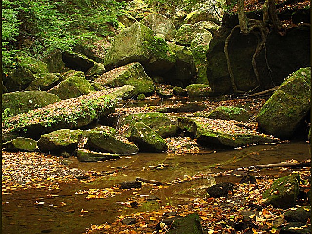
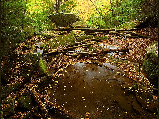
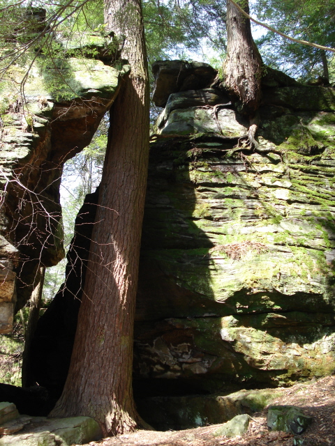
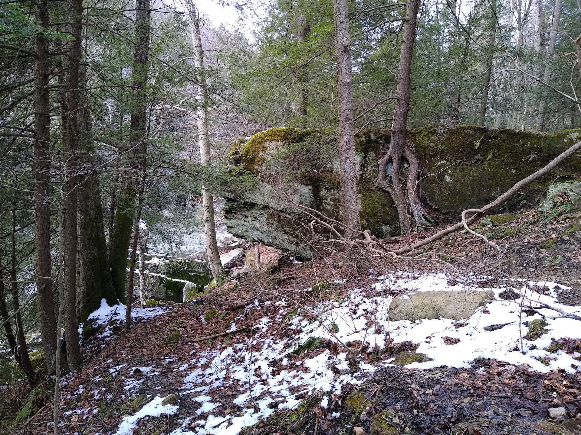
Slippery Rock Gorge Natural Area
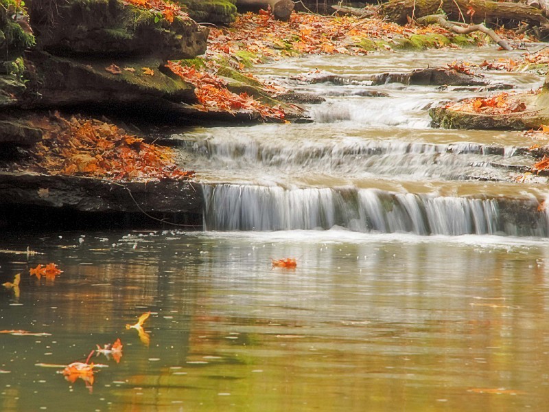
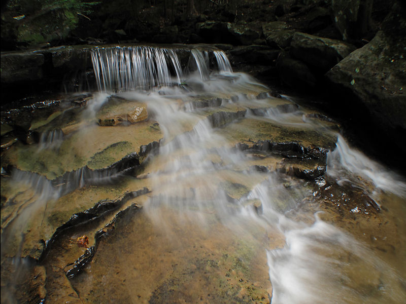
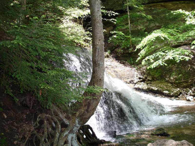
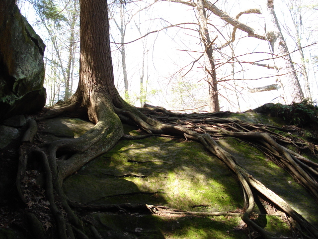
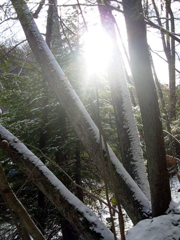
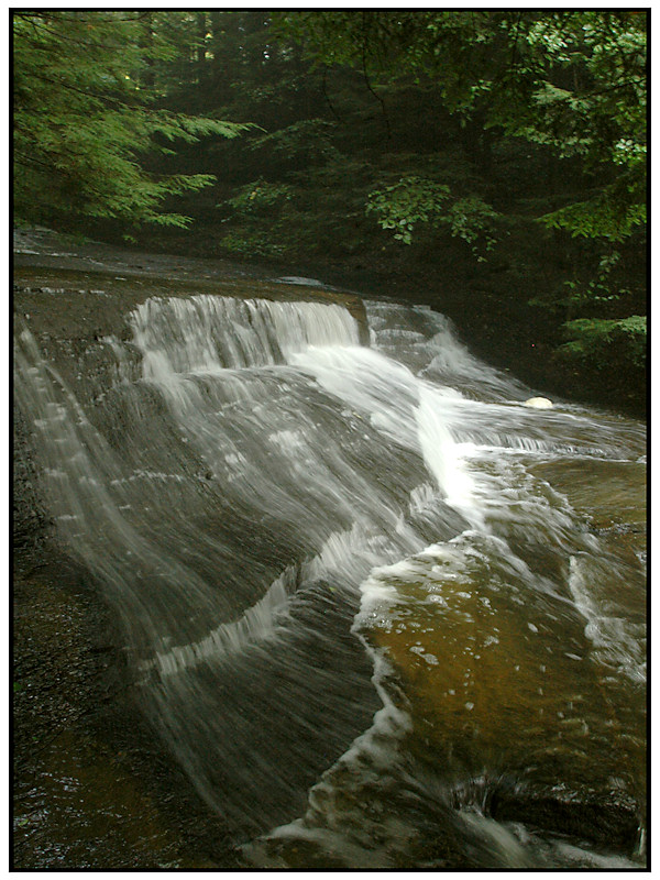
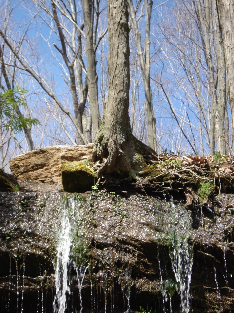
The 930-acre Slippery Rock Gorge was designated a National Natural Landmark by the U.S. Department of the Interior in 1974 and became a State Park Natural Area in 1998. The steep-sided gorge contains numerous rocky outcrops, boulders, old growth forest, waterfalls and rare plants. Cleland Rock Vista is a great place to view the gorge.
Also part of the natural area, Hells Hollow has a wide array of wildflowers, waterfalls and habitats in addition to what can be found in the Slippery Rock Creek Gorge. A one-half-mile hiking trail leads to a cascading waterfall and an old limekiln.
No Camping: Camping is not available in the park. Information on nearby private campgrounds is available at the Moraine State Park office.
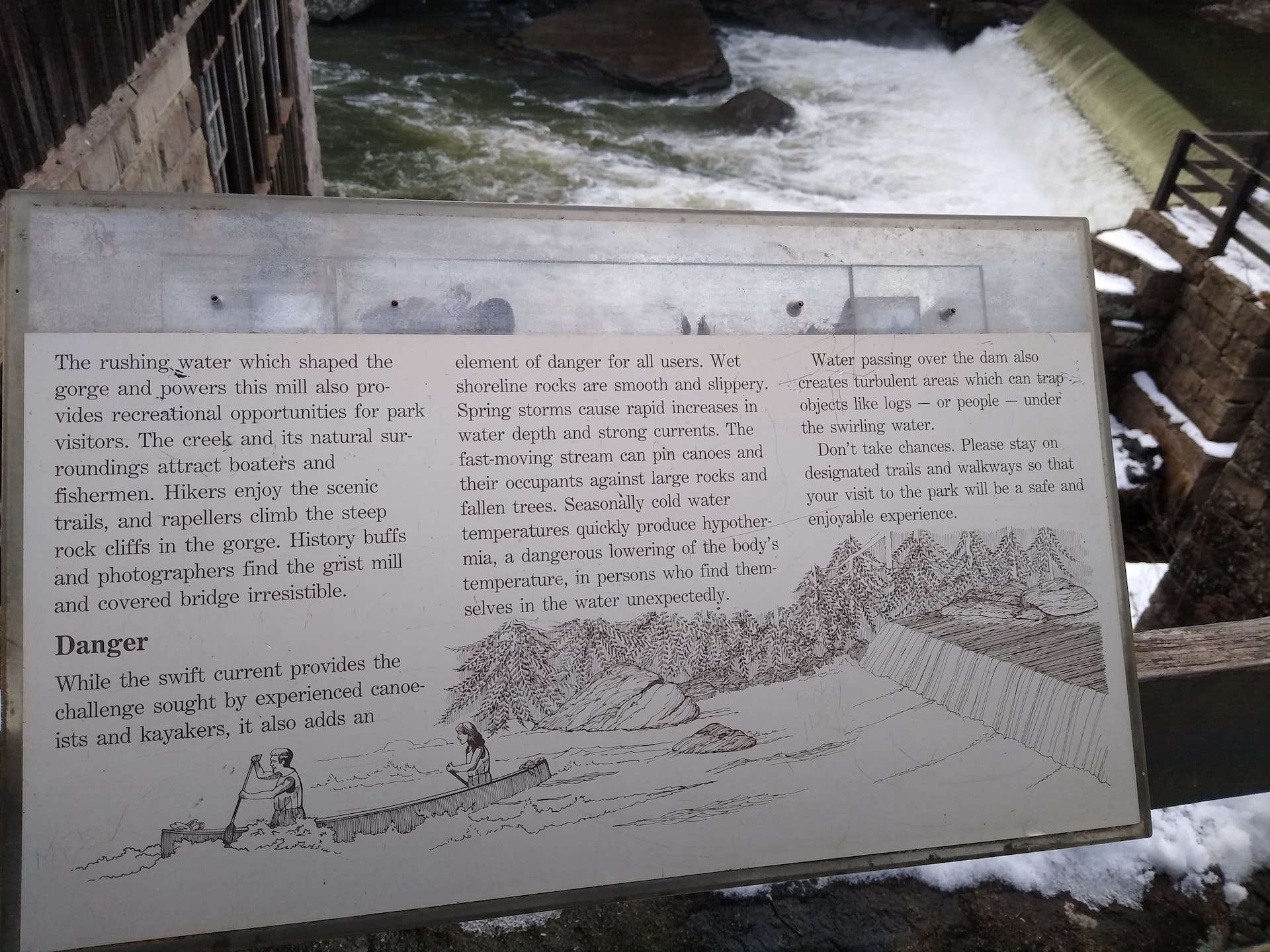
No swimming! Slippery Rock Creek is a very swift and dangerous whitewater creek. Many people have drowned in this dangerous creek. Nearby Moraine State Park has two swimming beaches.
Enjoy fishing in Slippery Rock Creek, home to various species like trout and smallmouth bass. A valid Pennsylvania Fishing License is required for all anglers aged 16 or older. The park also offers a Delayed Harvest Artificial Lures Only area where you can catch more fish during specific seasons.
McConnells Mill State Park is located near Beaver, Beaver Falls and Butler
There are two picnic areas adjacent to the parking area at the northern end of the gorge near the Old Mill. There are no pavilions in the park but the picnic areas have many shaded tables. Charcoal grills and restrooms are available in the picnic areas. Alcoholic beverages are prohibited.
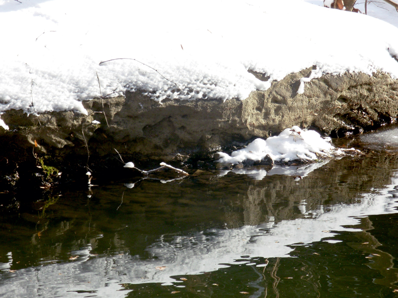
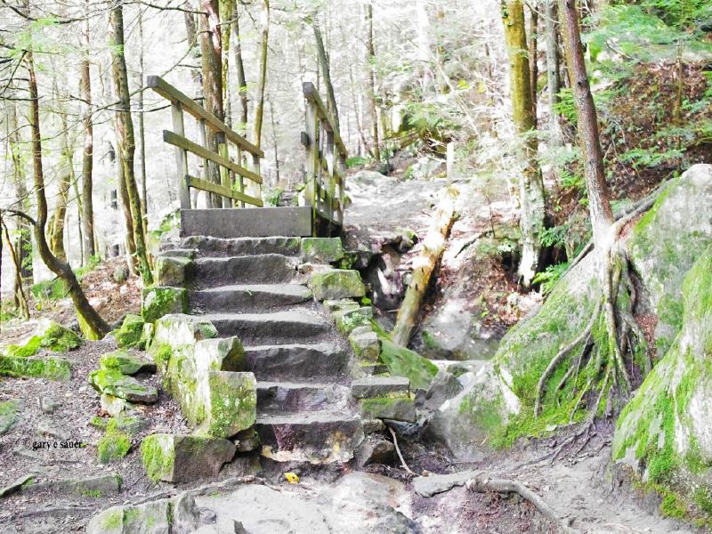
The natural character of McConnells Mill State Park, the scenic gorge, waterfalls, rugged hiking trails and whitewater creek, are all directly caused by the geology of the area. The bedrock formed over 300 million years ago as layers of sand, mud and peat in what was a coastal area. After becoming rock, these different layers were lifted to the surface in several mountain-building events. The different strengths of these rocks cause them to erode differently, helping to make the varied landscape of the park. The gorge and the dramatic topography of the park were created by glaciers over the past two million years.
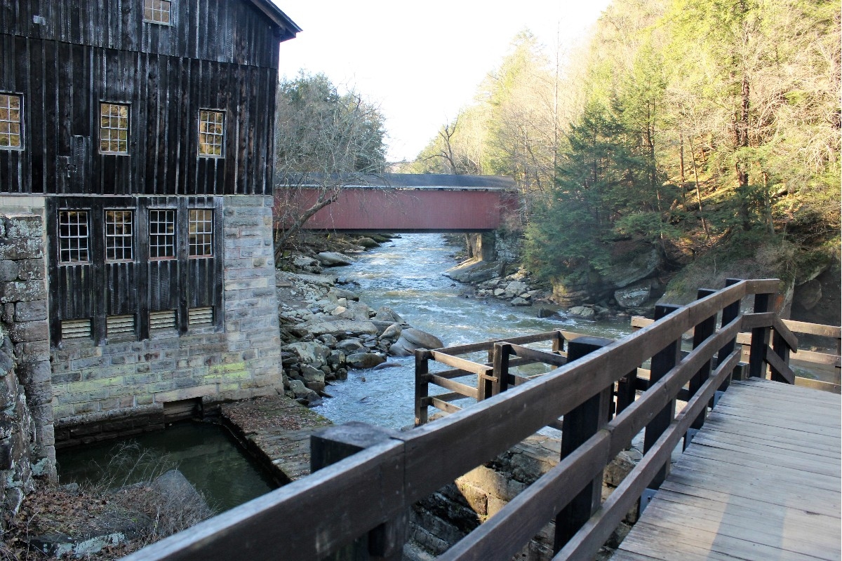
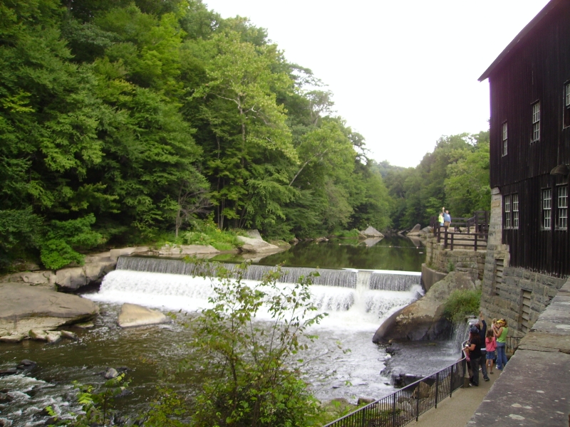
Guided tours of the restored gristmill are available from Memorial Day through Labor Day. The daily schedule of the Old Mill is from 10:30 a.m. to 5:30 p.m. Off-season tours are by appointment only.
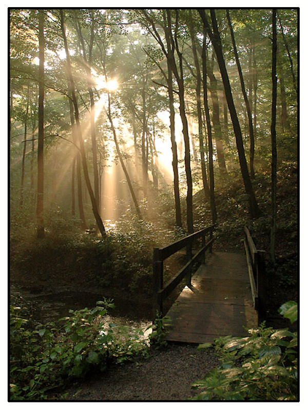
Guided nature walks are conducted every Saturday and Sunday during the summer season. A variety of topics, settings and subjects are discussed and explored.
The park offers diverse birding opportunities with over 100 species recorded. It's a habitat for waterfowl, songbirds and raptors. Birdwatchers can explore trails or the Slippery Rock Creek Gorge area to spot birds like warblers, thrushes and hawks during migration seasons.
Shenango China Hunting & Fishing Club
RR 5
New Castle, PA
(724) 657-0286
O Donnell's Sports Supplies
1765 Perry Hwy
Portersville, PA
(724) 368-3418
Moraine Fishing & Camping Ctr
2191 Prospect Rd
Prospect, PA
(724) 865-9318
Rogers' Rifle Rod & Reel
494 Mount Union Rd
Portersville, PA
(724) 368-8127
Wiley Lures
158 Stamm Hollow Rd
Ellwood City, PA
(724) 758-7092
Castlewood Rod & Gun Club
2964 Shaffer Rd
Ellwood City, PA
(724) 924-9010
Bear Run Campground
184 Badger Hill Rd
Portersville, PA
(724) 368-3564
The park is about 40 miles north of Pittsburgh, via I-79, near the intersection of PA 19 and US 422.


 Share Your McConnells Mill State Park Photos (click here)