MCARTHUR-BURNEY FALLS MEMORIAL STATE PARK
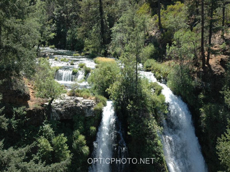
The park is within the Cascade Range and Modoc Plateau natural region, with 910 acres of forest and five miles of streamside and lake shoreline, including a portion of Lake Britton.
The park's centerpiece is the 129-foot Burney Falls, which is not the highest or largest waterfall in the state, but possibly the most beautiful. Additional water comes from springs, joining to create a mist-filled basin. Burney Creek originates from the park's underground springs and flows to Lake Britton, getting larger along the way to the majestic falls.
The park's landscape was created by volcanic activity as well as erosion from weather and streams. This volcanic region is surrounded by mountain peaks and is covered by black volcanic rock, or basalt. Created over a million years ago, the layered, porous basalt retains rainwater and snow melt, which forms a large underground reservoir.
Within the park, the water emerges as springs at and above Burney Falls, where it flows at 100 million gallons every day.
Burney Falls was named after pioneer settler Samuel Burney who lived in the area in the 1850s. The McArthurs were pioneer settlers who arrived in the late 1800s. Descendants were responsible for saving the waterfall and nearby land from development. They bought the property and gave it to the state as a gift in the 1920s.
Day-UseFishingyes
Hiking Trailyes
BoatingLaunch Rampsyes


 Share Your McArthur-Burney Falls Memorial State Park Photos (click here)
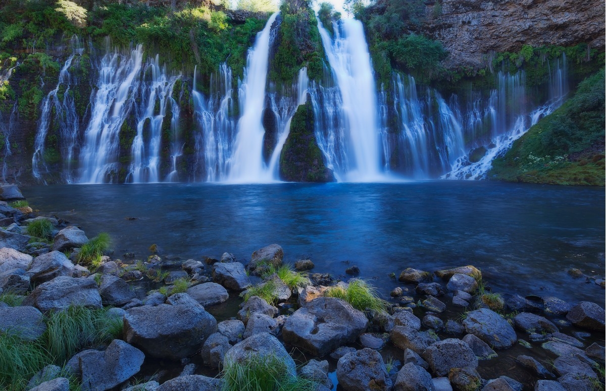