LOGOLY STATE PARK
At Arkansas's first environmental education state park, interpreters present workshops on ecological/environmental topics. The park's natural resources provide a living laboratory for students and visitors. Most of Logoly's 368 acres comprise a State Natural Area that includes unique plant species and mineral springs.
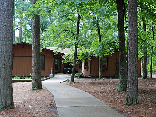
Park facilities include six group tent sites (no hookups), a bathhouse with hot showers, standard pavilion (free to educational groups), picnic sites, playground, trails, and a visitor center with exhibits and an indoor classroom.
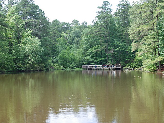
Visitors can enjoy catch-and-release fishing in the park's pond. Species include catfish, bream, and largemouth bass for anglers to target.
Logoly State Park is located near Magnolia
Logoly State Park in Arkansas offers scenic picnic areas with tables and grills amidst lush forests and tranquil ponds.
CRANE FLY TRAIL : Length: 3/4 mile : Time: 1/2 - 1 hour : Difficulty: Moderate
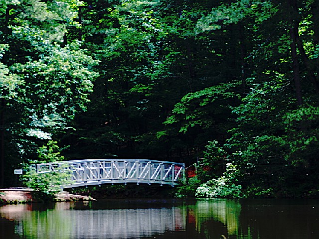
Description: The trail leads you by a small pond and several woodland streams. A boardwalk crosses over the pond at one location, and the trail offers excellent opportunities for plant and wildlife observation.
Location: 6 miles north of Magnolia on Logoly Road (Columbia County Road 47) just off U.S. 79 near McNeil highway junction
MAGNESIA SPRINGS TRAIL : Length: 1/4 mile : Time: 1/4 hour : Difficulty: Easy
Description: This trail leads to Magnesia Springs, a historical landmark in this part of the state. These springs were well known at the turn of the century for their medicinal qualities.
Location: 6 miles north of Magnolia on Logoly Road (Columbia County Road 47) just off U.S. 79 near McNeil highway junction
SPRING BRANCH TRAIL : Length: 2 miles : Time: 1.5 hours : Difficulty: Moderate
Description: This trail leads you through two food plots, by the Spring Branch Creek and over the rolling hills of the West Gulf Coastal Plain.
Location: Six miles north of Magnolia on Logoly Road (Columbia County Road 47) just off U.S. 79 near McNeil highway junction.
From U.S. 79 at McNeil, go one mile on County Road 47 (Logoly Road) to the park.


 Share Your Logoly State Park Photos (click here)
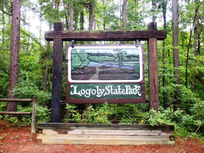