LAKE MEREDITH NATIONAL RECREATION AREA
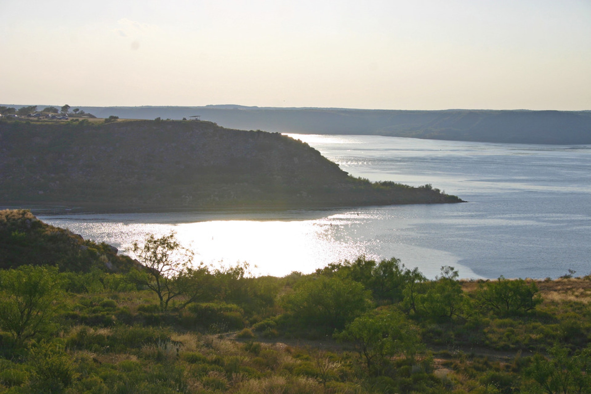
Contrasting spectacularly with its surroundings, Lake Meredith lies on the dry and windswept High Plains of the Texas Panhandle. The lake itself was created by Sanford Dam on the Canadian River; it now fills many breaks whose walls are crowned with white limestone caprock, scenic buttes, pinnacles, and red-brown, wind-eroded coves. Lake Meredith?s shores are dotted with mesquite, prickly pear, yucca, and grasses of arid plains. Up the sheltered creek beds stand cottonwoods, soapberry, and sandbar willows. By Public Law 101-628 (16 U.S.C. ? 460eee), on November 28, 1990, Congress renamed Lake Meredith Recreation Area as a National Recreation Area, ?to provide for public outdoor recreation use and enjoyment of the lands and waters associated with Lake Meredith in the State of Texas, and to protect the scenic, scientific, cultural, and other values contributing to the public enjoyment of such lands and waters.? The 50,000-acre national recreation area includes a 10,000-acre reservoir where visitors can enjoy a variety of recreational opportunities for a day or an entire vacation.
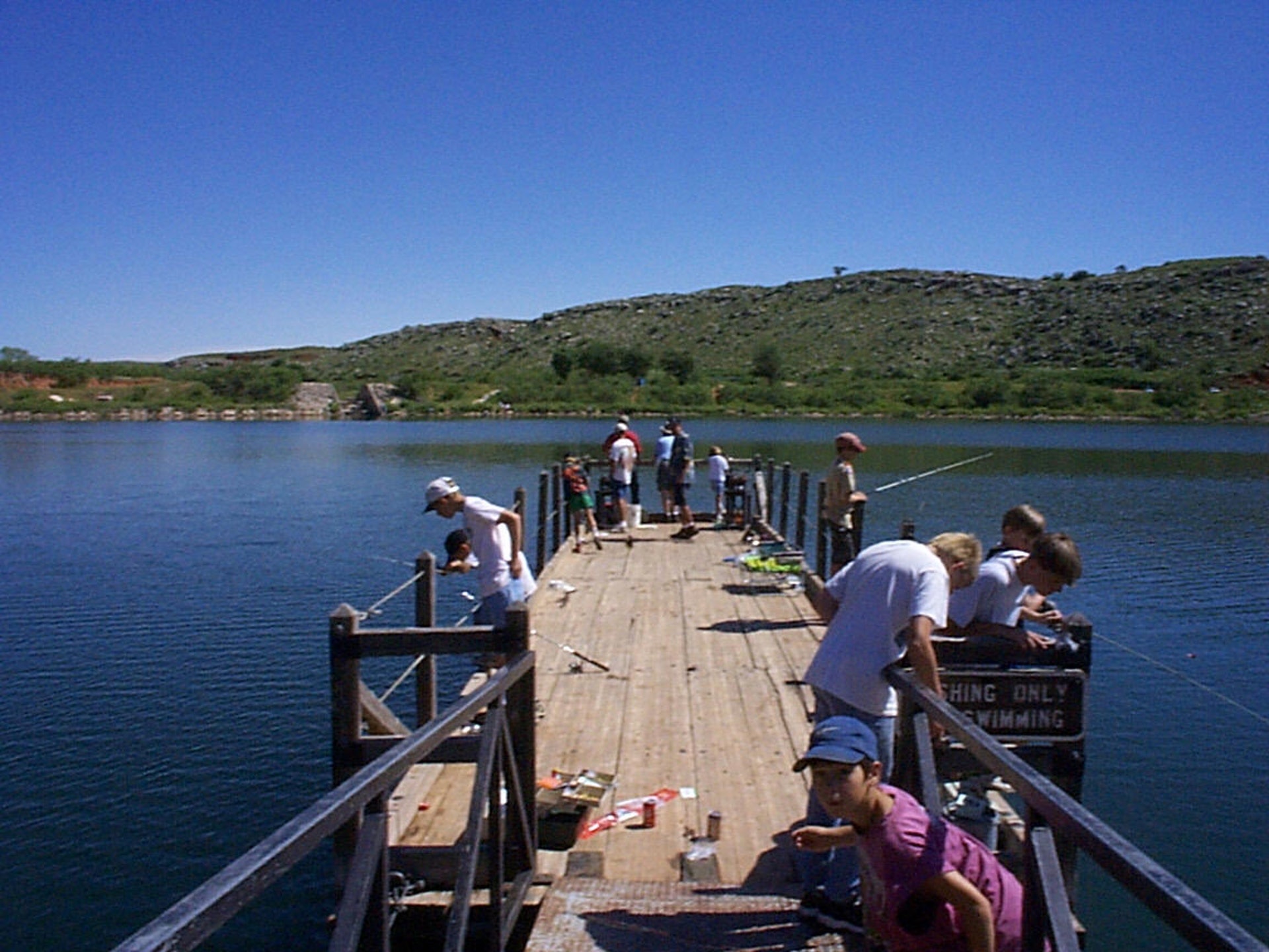
Day-UseFishingyes
Huntingyes
Hiking Trailyes
Picnickingyes
Blue Creek Bridge, Open All Year
Details : No designated sites, however there are chemical toilets and picnic tables. This area is one of two designated off-road vehcile use areas. Off-road vehicles however, are restricted to the creek bed. No water or RV hookups available. No camping fees. NOTE: All riders of 3 & 4 wheelers MUST wear a DOT approved safety helmet and eye protection.
Blue West, Open All Year
Details : Blue West campground is on the north side of the lake off Highway 1913. Individual campsites have picnic tables, shade shelters and some grills. Vault toilets, no drinking water or RV hookups. Access to the lake shoreline is difficult from this site: however, a public boat ramp is located nearby. Blue West campground is seldom full. There is an excellent view of the lake from this campground. No camping fee.
Bugbee, Open All Year
Details : A popular location with shoreline fishermen, Bugbee is a semi-developed camping area with no individual campsites. Some picnic tables and an "outback" chemical toilet are provided. Camping availability changes with fluctuating lake levels. No water, RV hookups or camping fee.
Cedar Canyon, Open All Year
Details : Cedar Canyon has no designated camping sites and availability varies as lake level fluctuates. A comfort station with running water and flush toilets is located in the boat ramp parking lot. Restrooms open seasonally, no RV hookups or camping fee. The possession and consumption of alcohol is prohibited at Cedar Canyon.
Fritch Fortress, Open All Year
Details : Beautiful views from this bluff location make this an attractive campground. Individual campsites have picnic tables, shade shelters and grills. Comfort station with running water and flush toilets opened seasonally. No RV hookups, RV waste dump station nearby. No camping fees.
Harbor Bay, Open All Year
Details : This shoreline campground is located just outside the community of Fritch, Texas. Harbor Bay has no indivudual camp sites. Camping availability varies greatly with rising and falling lake levels. Harbor Bay becomes extremely crowded on summer holiday weekends. Chemical toilets located near the public boat ramp. Some picnic tables are provided. No camping fees.
McBride Canyon, Open All Year
Details : No designated camping sites. No access to the lake from this campground. Beautiful area, with huge cottonwood trees shading the picnic tables. Chemical toilet, no water available. No RV hookups or camping fee. Dirt road can become impassable during and after rain.
Mullinaw, Open All Year
Details : Located southwest of the McBride campground, Mullinaw campgound has undeveloped sites with picnic tables and chemical toilets. No water availale, no RV hookups. Horseback riding allowed, corrals available for horse camping groups. No camping fee.
Plum Creek, Open All Year
Details : This area contains some large shade trees and is quite popular with hunters and horseback users. No designated camping spots. This undeveloped area has chemical toilets and picnic tables, no water, RV hookups or camping fee. Hitch rails and horse pens are provided.
Rosita, Open All Year
Details : Located along the Canadian River, Rosita is one of two off-road vehicle use areas and a horseback riding area. There are a few chemical toilets, and picnic tables, and no drinking water. No designated camping sites, camping fee or RV hookups. NOTE: All riders of 3 & 4 wheelers and morotcycles MUST wear a DOT approved safety helmet and eye protection.
Sanford-Yake, Open All Year
Details : This campsite is located on a spectacular bluff overlooking Lake Meredith near the marina, on the Sanford-Yake Road. Individual campsites have picnic areas, shade shelters and grills. There is one central comfort station with running water and flush tiolets, which is open seasonally. No camping fees or RV hookpus. A RV waste dump station nearby. A public boat ramp is located at the Marina.


 Share Your Lake Meredith National Recreation Area Photos (click here)
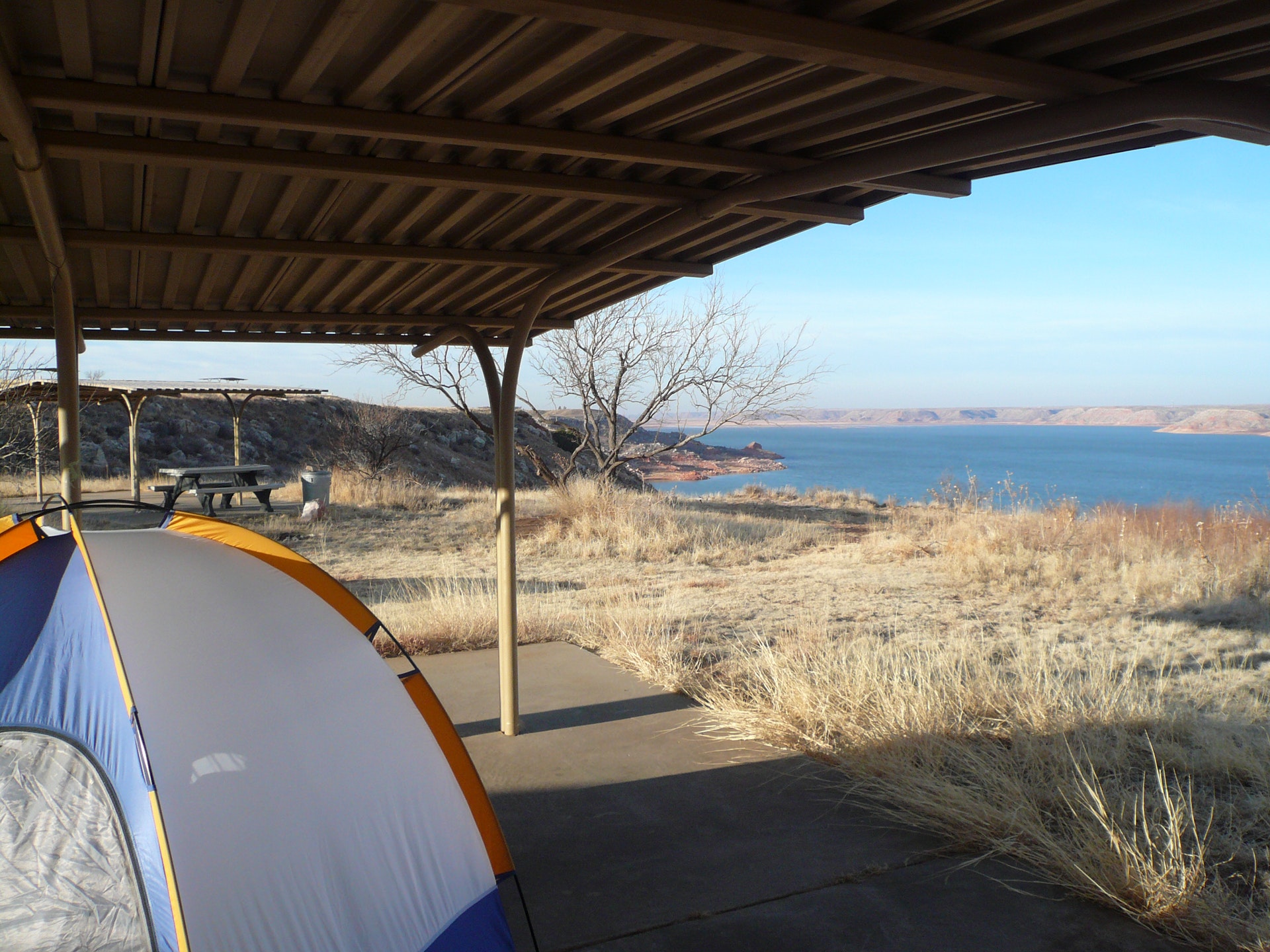