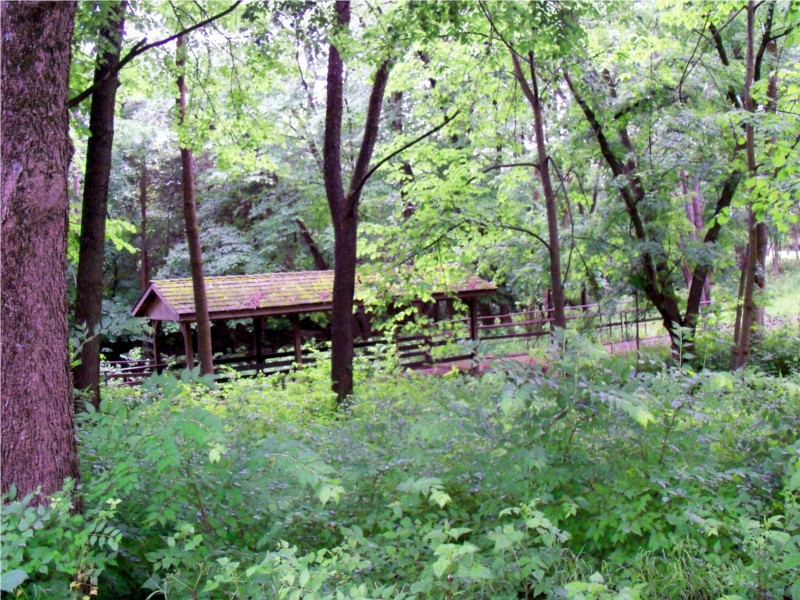
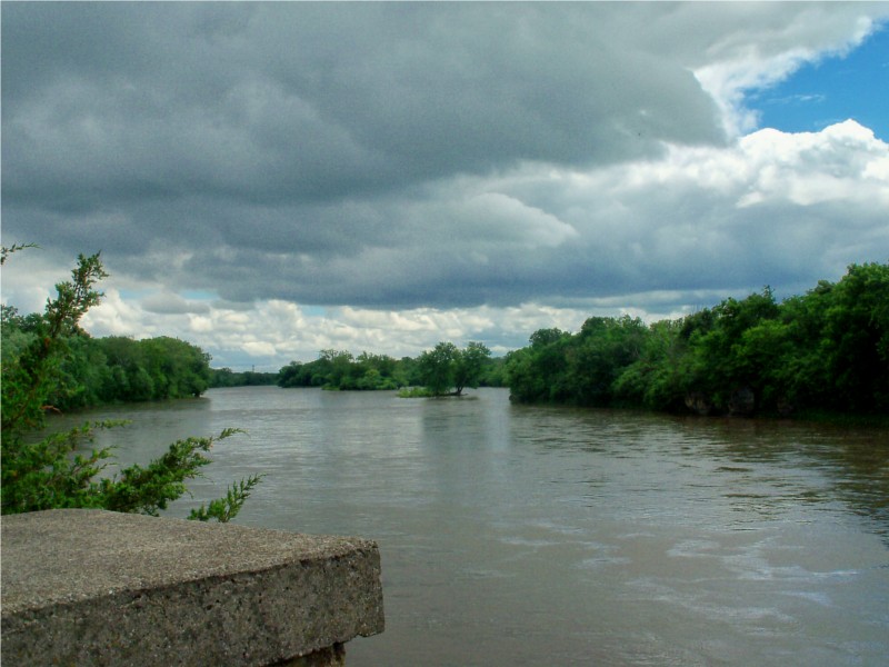
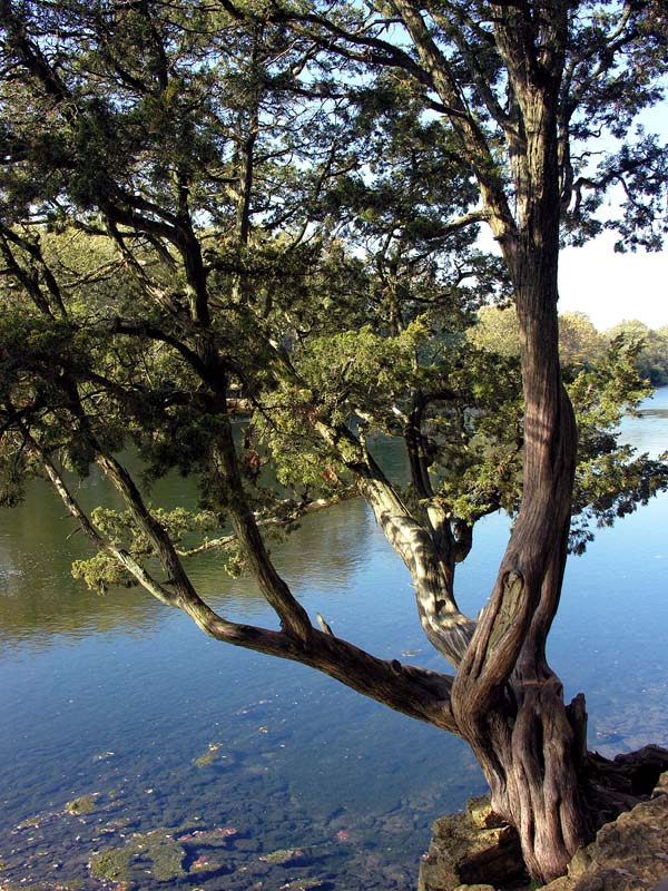
KANKAKEE RIVER STATE PARK
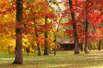
On land treasured for centuries - first by Native Americans, later by traders and farmers, and as early as the 1890's by recreation seekers - Kankakee River State Park offers you its proud heritage in an unspoiled setting. Anglers, canoeists, hunters, campers, hikers, bicyclers and other outdoor enthusiasts find the park's recreational opportunities unsurpassed. The naturally channeled Kankakee River, listed on the Federal Clean Streams Register, is the focus of the park's popularity.
Enveloping both sides of the Kankakee River for 11 miles, in an area 6 miles northwest of Kankakee, the park consists of approximately 4,000 acres. Illinois Routes 102 on the north and 113 on the south frame the park, with Interstates 55 and 57 both providing convenient access.
Several prehistoric sites are documented within Kankakee River State Park. The park is within a region used by Illini and Miami Indians at the time of the first European contact in the 1670s and 1680s. By 1685 the Miami were sufficiently numerous that the Kankakee River was called the River of the Miami. Kickapoo and Mascouten also were in the region from 1679 until the 1760s. Potawatomi Indians hunted along the Kankakee River in the 1760s, and by the 1770s, the Potawatomi, Ottawa and Chippewa nations - "The Three Fires" - dominated the area. The most extensive village was "Rock Village" or "Little Rock Village" inside the present-day park near the mouth of Rock Creek. In 1830 it was the site of the last great Indian Council. Following the Black Hawk War in 1832, the Potawatomi ceded all of their land along the Kankakee and Illinois rivers to the United States. Most Potawatomi left the area by the end of the decade, except for Chief Shaw-waw-nas-see, whose grave is commemorated by a boulder along the nature trail at Rock Creek.
Noel Le Vasseur and other fur traders, including Hubbard Chabare and Bourbonnais, traded with the Potawatomi along the Kankakee and Iroquois rivers in the 1820s. When the Potawatomi left the area in 1838, Le Vasseur persuaded a number of his fellow French Canadians to emigrate from Quebec to the Bourbonnais Township area. Because of his settlement efforts, he is called "the father of Kankakee."
A Marker on the west bank of Rock Creek Bridge commemorates the log cabin village of Rockville. It was begun in 1840, nine years after William Baker and other Euro-Americans first began farming along the Kankakee River.
The Kankakee & Iroquois Navigation Company - later known as the Kankakee Company - was chartered in 1847 to provide water power and a navigable waterway from the Illinois & Michigan Canal to Warner's Landing, along the site of the present-day Warner Bridge Road. The company failed in the early 1880s, shortly after the Wabash Railroad came through. At the Chippewa Campground, hand-cut limestone pillars mark where a railway bridge was to have been built before financiers ran out of money.
Just inside the park's main entrance is the Smith Cemetery with the graves of several family members, most of whom died of yellow fever at the turn of the century.
A major industry in the area in the 1890s was the Custer Bowery Amusement Park, which frequently drew crowds from Chicago. The park was gone by the 1920s, but by then the river had become a popular spot for summer cottages. The area became more accessible to vacationers in 1928 when concrete roads were built along both sides of the river. In 1938 Chicago resident Ethel Sturges Dummer donated 35 acres of land for a state park. Commonwealth Edison turned over another 1,715 acres to the state in 1956. With the company's additional grants in 1989, the park now roughly totals 4,000 acres.
Day-UseFishingyes
Huntingyes
Hiking Trailyes
Swimming Beachyes
Bike Trailsyes
Bridle Trailsyes
BoatingLaunch Rampsyes
CampingPrimitiveyes
Electric Sitesyes
WinterActivitiesyes
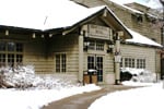
For refreshments, ice, camping supplies, firewood, and bait visit the log cabin concession stand, just inside the park's main entrance on the right.
Pleasant sites at reasonable prices make Kankakee River State Park a great place to pitch camp. Potawatomi Campground, a Class A area, has 110 sites and two Rent-a-Cabins in a wooded setting. More than 150 sites are offered at Chippewa Campground, which has Class B electric and C facilities. Reservations are taken for Kankakee River Class A, B, and C campgrounds. The Park closes at 10pm and all campgrounds observe quiet hours from 10pm - 7am. No vehicular traffic is allowed during this time. You must be 18 years old to rent a campsite and you must be able to establish your camp at the time you obtain a permit. All campsites share a picnic table and a campgrill. Camping is only allowed in the campgrounds.
Davis Creek Campground is available by reservation for chaperoned youth and church groups. All areas require camping permits, available at the park office or from park personnel in state vehicles. *All correspondence should be mailed to P.O.Box 37, Bourbonnais, IL 60914


 Share Your Kankakee River State Park Photos (click here)
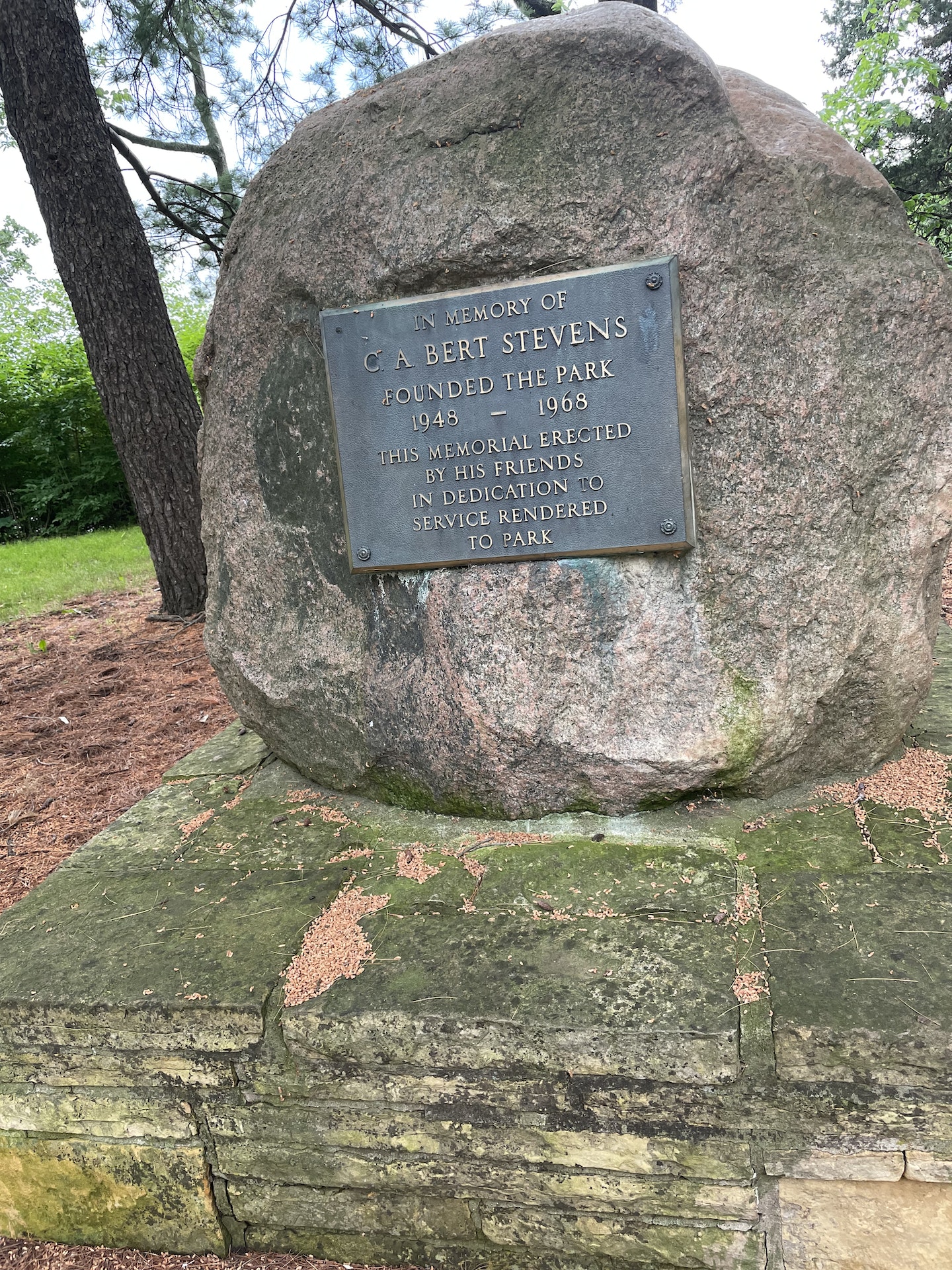