HENRY WILLARD COE STATE PARK
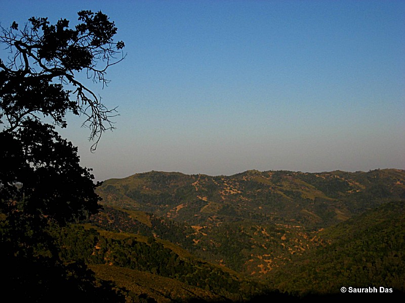
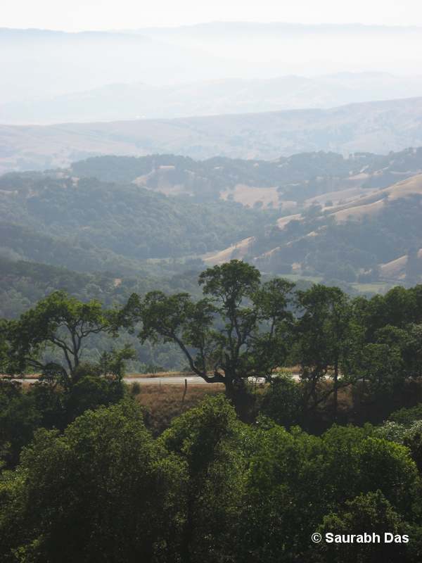
Coe Park is the largest state park in northern California, with over 80,000 acres of wild open spaces. The terrain of the park is rugged, varied, and beautiful, with lofty ridges and steep canyons.
Once the home of Ohlone Indians, the park is now home to a fascinating variety of plants and animals, including the elusive mountain lion. Within Coe Park are the headwaters of Coyote Creek, long stretches of the Pacheco and Orestimba creeks, and a 23,300-acre wilderness area.
The park is open year-round for hikers, mountain bikers, backpackers, equestrians, car campers, picnickers, photographers, and people who simply like to visit parks.
Fires: No ground fires allowed anywhere in the park. Fires in provided fire-rings are permitted only at headquarters campground and at Manzanita Point group camps. Backpackers are permitted only campstoves with bottled fuel. No hibachis, barbecues, ground fires, or open wood/charcoal fires are permitted in the backcountry.
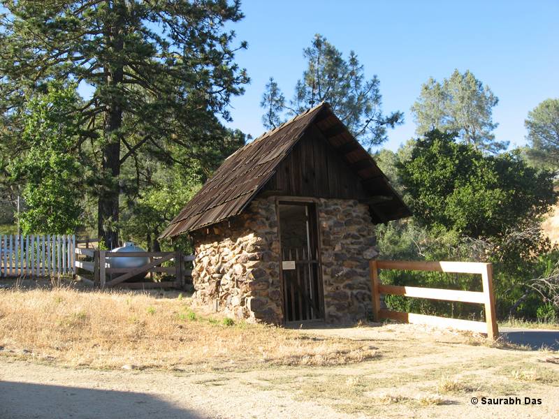
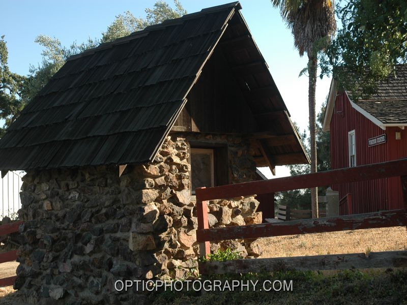
Located in Santa Clara and Stanislaus counties, the park was established in 1953. It is named after Henry W. Coe Jr., a rancher who owned the land that now constitutes most of this vast wilderness area.
In his will, he left it to be used as a public space for outdoor recreation purposes. The Pine Ridge Association has been instrumental since its inception in providing volunteer support and funding for various projects within the park's boundaries.
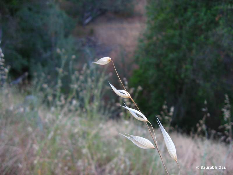
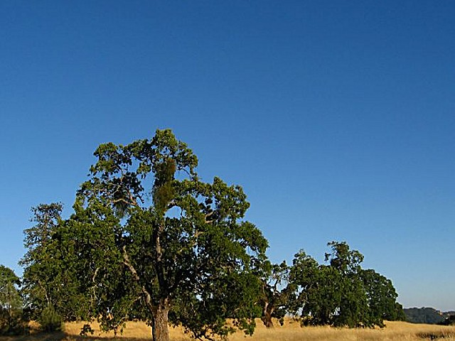
The terrain includes rolling hills, steep canyons with running streams during wet seasons, grasslands interspersed with oak trees and higher elevations covered by coniferous forests.
Day-UseHiking Trailyes
Bridle Trailsyes
CampingPrimitiveyes
Camping:
Car Camping in the Headquarters Campground The campground at park headquarters, located on top of an open ridge at 2,600 feet, has views across the ridges and canyons of the backcountry. The 20 drive-in sites in the campground can be reserved.
Sites that haven't been reserved are available on a first-come, first-served basis, but the campground seldom fills except on spring weekends and major holiday weekends
Group Camping:
Coe Park has ten hike-in group campsites at the southeast end of Pine Ridge in an area called Manzanita Point. At the bottom of the ridge, in a shady little valley called Poverty Flat, there's another area where groups can camp.
Fishing:
Coe Park has great fishing, with largemouth bass, green sunfish, crappie, and bluegill in its lakes and ponds and elusive rainbow trout in the waters of its creeks.
However, it's important for you to know that the park has no lakes or creeks you can drive to. The park has very steep, rugged terrain and most fishing ventures into Coe's backcountry require a considerable expenditure of time and energy. To go beyond the relatively close-in lakes (Bass Pond and Frog Lake), you'll be faced with elevation gains (and losses) in thousands of feet.


 Share Your Henry Willard Coe State Park Photos (click here)
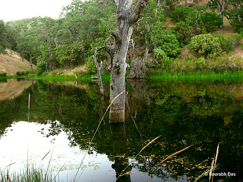