HAVASU NATIONAL WILDLIFE REFUGE
HAVASU NATIONAL WILDLIFE REFUGE
From desert bighorn sheep to the endangered southwestern willow flycatcher, birds and other animals at Havasu National Wildlife Refuge rely on the life-giving waters of the lower Colorado River. The refuge protects 30 river miles - 300 miles of shoreline - from Needles, California, to Lake Havasu City, Arizona. One of the last remaining natural stretches of the lower Colorado River flows through the 20-mile-long Topock Gorge.
A great river in a dry, hot land attracts wildlife and people like a powerful magnet. Today, many thousands of visitors annually flock to the refuge to boat through the spectacular Topock Gorge, watch waterbirds in Topock Marsh, or hike to the Havasu Wilderness Area.
Wildlife dwell in a precarious balance with the people who recreate here. Remember, we are guests in the home of lower Colorado River animals and plants.
Recreational vehicle and tent camping is available at the Fivemile Landing concession at Topock Marsh. All other areas of the refuge are closed to camping by either land or water.
Several campgrounds and hotels are located in or near Needles, California. Call the refuge headquarters for additional information.
There are free boat launches on Topock Marsh at North Dike, Fivemile Landing (on County Route 1) and Catfish Paradise (on Oatman Highway/Route 66).
Local boat launches that allow access to the Colorado River include the Topock Gorge Marina, Arizona (exit 1, I-40), Park Moabi (located 11 miles south of Needles, CA on I-40), and Havasu State Park at Windsor Beach (on London Bridge Road in Lake Havasu City). There are many other private and public boat launches along the Colorado River.
No Wake zones exist in the harbor of Fivemile Landing on Topock Marsh and the entrance and harbor at Topock Marina.
Havasu National Wildlife Refuge is located near Lake Havasu City
The passage of the Wilderness Act of 1964, the Arizona Desert Wilderness Act in 1990, and the California Desert Protection Act in 1994, together designated 17,606 acres, or 32 percent of the refuge, as wilderness.
This wilderness area offers quiet desert beauty for the prepared hiker. The first rule is to bring plenty of water. Every plant and animal has adapted to desert living. Cactus store water during rainy periods. Palo verde trees drop their water-wasting leaves when rain is scarce. Lizards and snakes find all the water they need from the food they eat.
Remember to carry in and carry out all your trash to keep the wilderness clean and free of human traces. Collection or introduction of plants, wildlife, rocks, items of antiquity, archeological resources, minerals, and fossils is prohibited on National Wildlife Refuge lands.
The wilderness area is open to foot traffic only. All mechanical transports, (including bicycles), horses or similar pack animals are prohibited.
From Interstate 40, watch for a Havasu NWR exit sign close to the California/Arizona border. Follow the signs to the refuge.
To reach Topock Marsh from Needles, California, cross the Needles bridge into Arizona following Highway 95 north, then turn right onto Courtwright Road and watch for the refuge sign.
The refuge office is in Needles, California. From Interstate 40, exit on J Street and go southwest (uphill) 0.06 miles. Turn right at headquarters entrance sign and follow the signs; the office is in the back.


 Share Your Havasu National Wildlife Refuge Photos (click here)
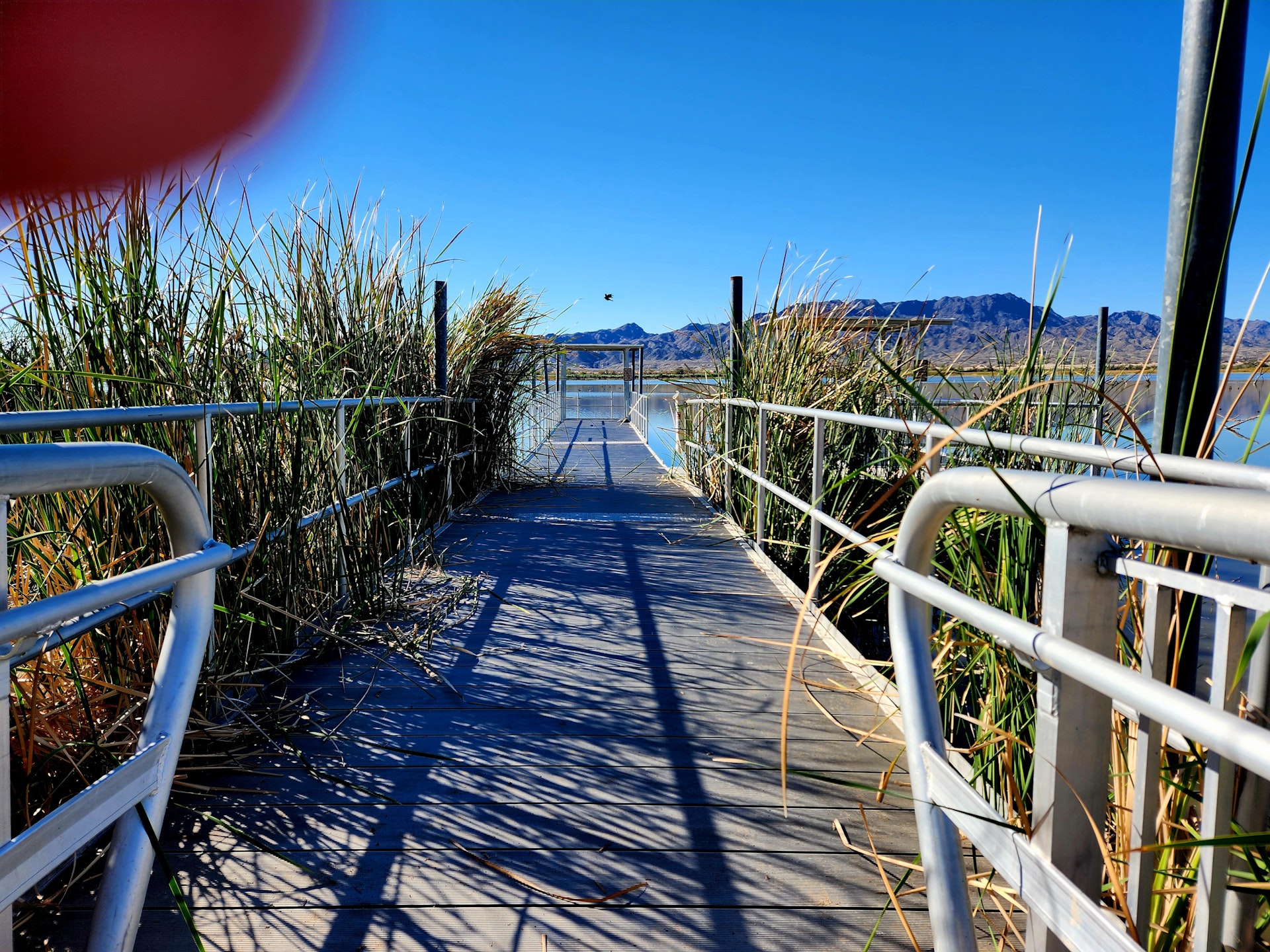