DROOP MOUNTAIN BATTLEFIELD STATE PARK
Droop Mountain Battlefield State Park is located in the Greenbrier River Valley north of Lewisburg and is the site of West Virginia's last significant Civil War battle. On November 6, 1863, the federal army of Brigadier General William W. Averell, in his second attempt to disrupt the Virginia-Tennessee Railroad at Salem, Virginia, faced again the Confederate troops of Brigadier General John Echols. Throughout the morning, Echols' smaller confederate army held the high ground and blocked the highway with artillery, but in the afternoon was overwhelmed by the crushing advance of federal infantry on his left flank. Following the collapse of his lines, General Echols retreated south into Virginia with the remnants of his command. Federal Troops occupied Lewisburg on November 7, but being burdened with prisoners and captured livestock, General Averell elected to return to his headquarters in Beverly, West Virginia, waiting until early December to lead a third and ultimately successful attack on the vital railroad. Operations in the Shenandoah Valley in the spring of 1864 drew remaining confederate troops out of west Virginia, thus leaving the new state securely under the control of the federal government for the remainder of the war.
Droop Mountain Battlefield State Park is
Big Spring Trail - The trail begins at the west overlook and ends at a mountain spring. This is a dead-end trail down the mountain side which offers pure spring water and a strenuous climb back. Length: 1/3 mile with very steep grades. Travel time: 20-30 minutes.
Cranberry Bogs Trail - Hikers can start at the park office and end at the south picnic area. This is the most popular trail in the park, winding through a mountain bog where interesting plants, tall pines, and wildlife can be seen. This trail is suitable for cross-country skiing in the winter. Length: 1/2 mile mostly level, easy walking. Travel: 30-45 minutes
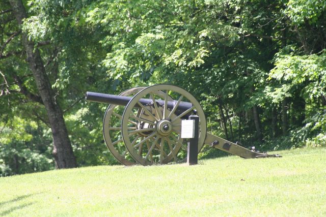
Horse Heaven Trail - This trail starts at the pump house near the cannon and ends at the south picnic area. The trail follows a series of small cliffs and gives access to Horse Heaven Rock, where horses killed in the battle of Droop Mountain were disposed of. Length: 1/4 mile with a moderate grade. Travel Time: 15-20 minutes.
Minnie Ball Trail - This is the most rigorous park trail, located in a ravine where Union soldiers climbed the mountain to attack the Confederates waiting above. The trail begins at the first sharp curve in the road near the office and ends at the tower. Length: 1/2 mile with very long, steep grades. Travel: 30-45 minutes
Musket Trail - Originating near the park office this trail follows a steep hillside. Stumps of American Chestnut trees alive during the time of the battle remain. The trail ends at the lookout tower. Length: 1/2 mile with a moderate grade. Travel: 20-30 minutes
Old Soldier Trail - This easy trail follows an old road grade which passes near the spot where Major Robert Augustus Bailey was shot while trying to rally his men around the Confederate Flag. The trail begins near the battlefield monuments and ends at the stone shed near the tower. It is an excellent cross country ski trail in the winter. Length: 2/3 mile trail is level throughout and easy walking. Travel: 45-60 minutes
Overlook Trail - The trail begins at the pump house near the cannon and ends at the park office. The trail follows a series of rock cliffs. Following the cliffs visitors can observe several small caves, an old bear den, a scenic overlook and Civil War trenches. Length: 1/2 mile with moderate grade. Travel: 20-30 minutes
Tower Trail - This trail begins at the park office and ends at the stone shed near the lookout tower. This is the shortest route from park office to the lookout tower. Length: 1/2 mile, level to moderate grades. Travel: 10-15 minutes.
The Civil War Discovery Trail links more than 300 sites in 16 states to inspire and to teach the story of the Civil War and its haunting impact on America. The Trail, an initiative of the Civil War Trust, allows visitors to explore battlefields, historic homes, railroad stations, cemeteries, parks and other destinations that bring history to life. For more information on the Civil War Discovery Trail and other programs of The Civil War Trust,call 1-800-CWTRUST.
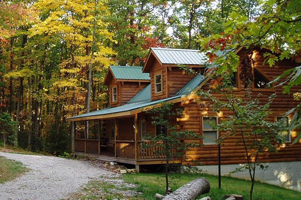
Cottages and Cabins
Deluxe Log Cabins Rental, Tree Houses rental and Glamping Yurts cabins. All located a a remote scenic wooded area, near the New River national River and Gauley River National recreational area. Only 10 minutes from the New River Gorge Bridge Each cabin has a Hot tub and 3 cabins have a Red Heart Shaped Jacuzzi tub and gas fireplaces - Great for Romantic Get-a-Ways.
39.9 miles from park*
Located in the southeastern part of the state, Droop Mountain Battlefield State Park is located on Route 219, 15 miles south of Marlinton and 27 miles north of Lewisburg.


 Share Your Droop Mountain Battlefield State Park Photos (click here)
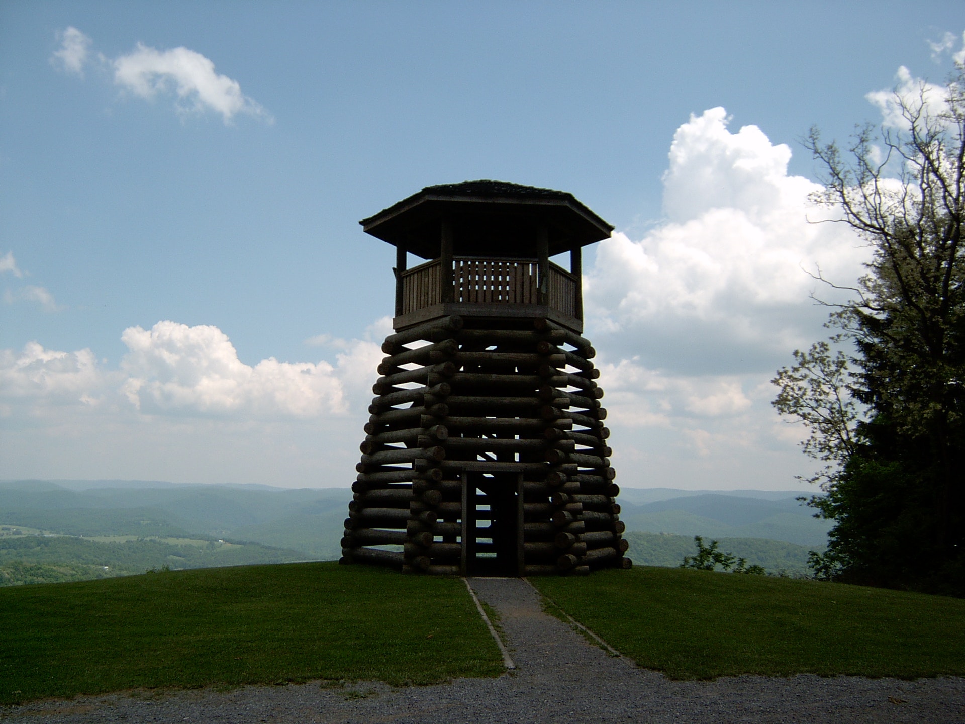