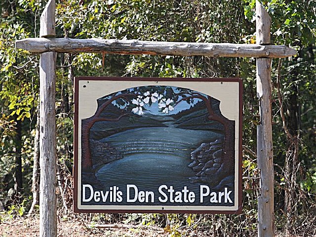
DEVILS DEN STATE PARK
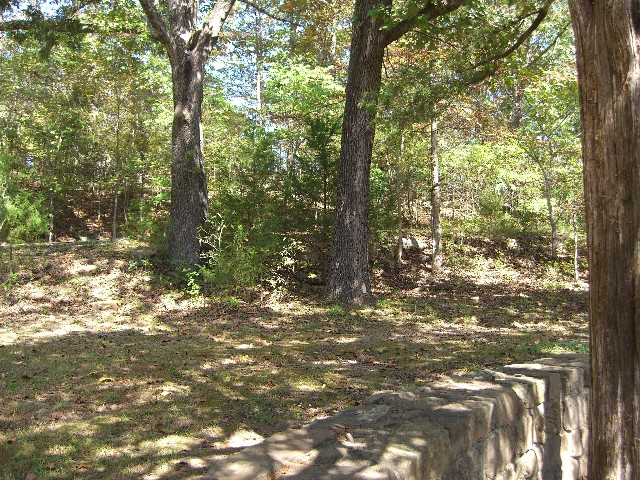
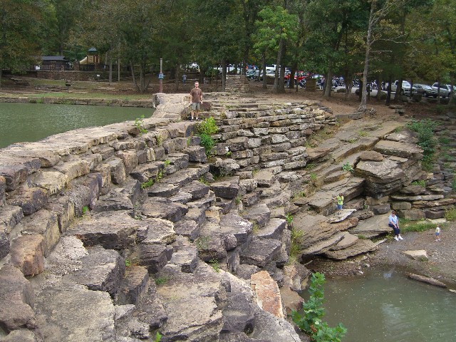
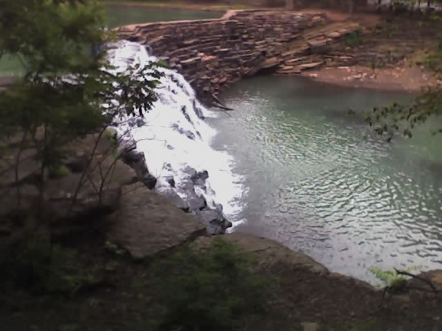
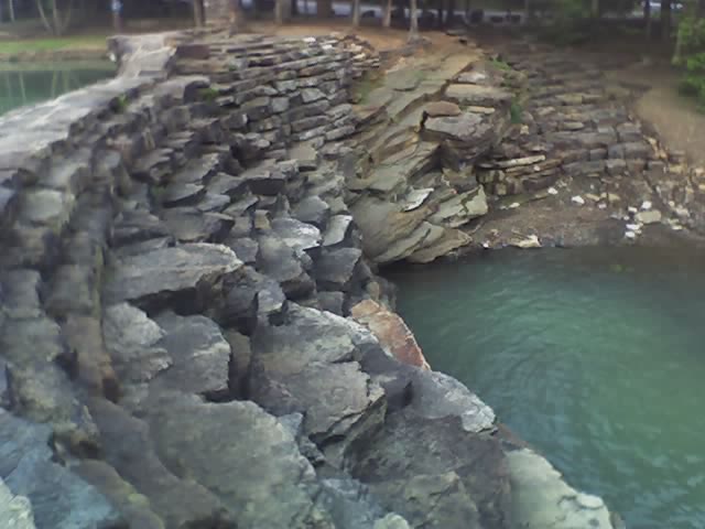
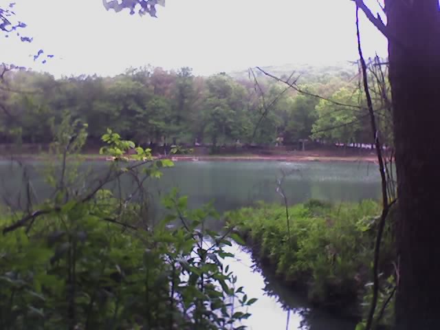
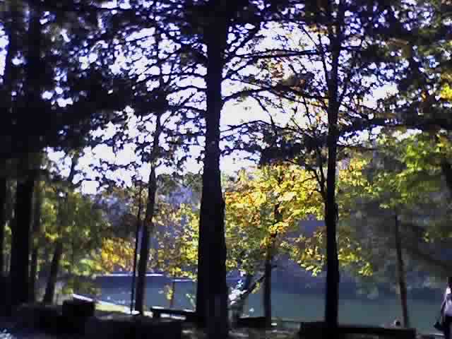
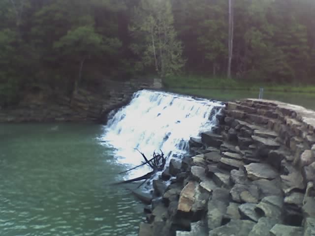
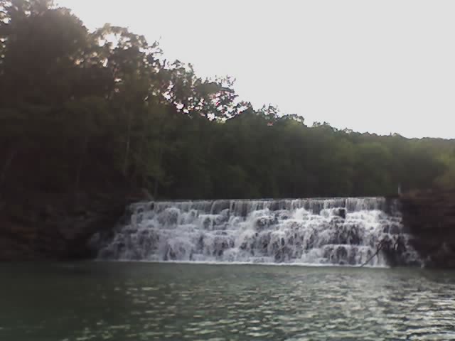
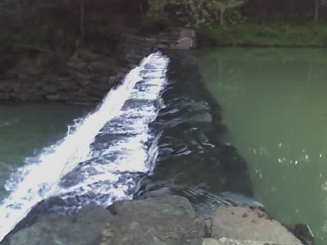
Lee Creek Valley, a picturesque setting in northwest Arkansas's Ozarks Mountains--ancient sedimentary mountains renowned for their natural beauty and lush oak-hickory forest--was selected as a park site in the 1930s. The Civilian Conservation Corps used native materials to craft the park's CCC/Rustic Style, wood and stone structures that include an impressive native stone dam that spans Lee Creek in the heart of the park forming peaceful 8-acre Devil's Lake. Rental canoes, tandem kayaks, pedal boats and water bikes are available at the park.
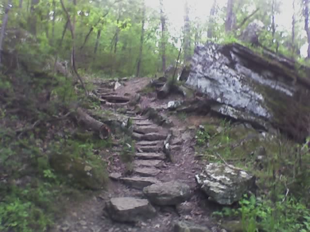
Hiking, backpacking and mountain bike trails lead to backcountry areas of Devil's Den State Park and the surrounding Ozark National Forest.Sixteen fully-equipped cabins featuring kitchens and fireplaces are nestled in the natural beauty of this park. The cabins are available throughout the year. Their wood-burning fireplaces are available for use from mid-September thru mid-May.
A park cafe and swimming pool (both open in summer only) overlook the lake. Groceries, gifts and snacks can be purchased at the park store.
Our fully equipped housekeeping cabins include: sofa-bed, fireplace, full kitchen, bath/shower, air conditioner/heater, television w/ DVD/VCR and satellite reception. Also included are your basic dishes, pots & pans, utensils, etc., range, refrigerator, microwave, coffee maker, toaster, blender, iron & board, blankets, pillows, towels and linens. BBQ grill and picnic table are located on the patio.
Campsites [144 sites: 44 Premium A, 12 Standard B, 13 Standard C, 24 Standard D (no hookups), 8 Hike-in (tent only) and 43 sites with water and electricity in the Horse Camp] are spaced along the valley.
Devils Den State Park is located near Fayetteville, Springdale
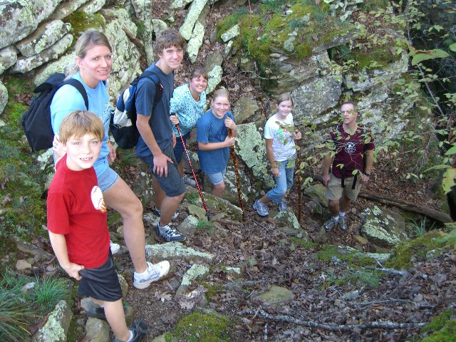
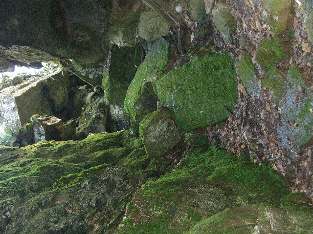
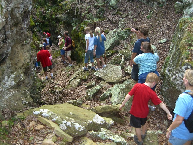
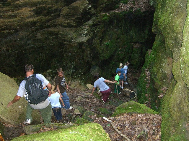
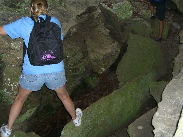
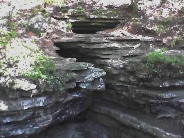
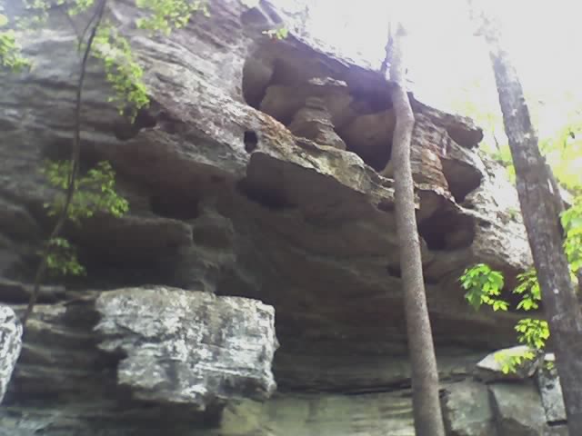
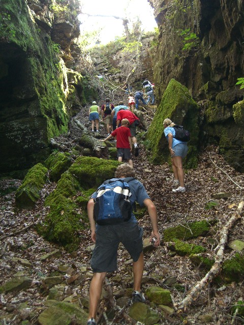
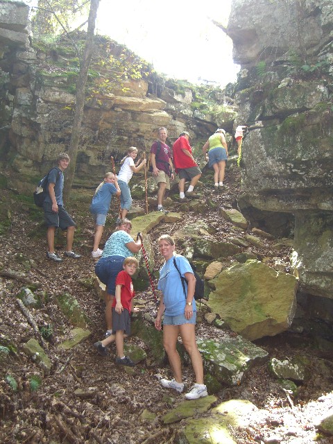
Many outdoor enthusiasts visit Devil's Den State Park with the express purpose of exploring one or more of its many caves and crevices. Most of the park's caves are crevices associated with a unique sandstone crevice area, the largest such area in the U.S. The longest of these is Devil's Den Cave (550 feet). You can visit on your own (flashlights required), or participate in a strenuous guided cave exploration hike offered once a week during the summer. Others may wish to explore Farmer's Cave, a relatively small, gated limestone cave located at the west end of the park. Parties interested in exploring this cave must meet set guidelines in order to obtain a free first-come, first-served permit at the visitor center. The presence of both sandstone and limestone caves at one park is quite rare and makes for a unique caving opportunity at Devil's Den State Park.
Butterfield Hiking Trail
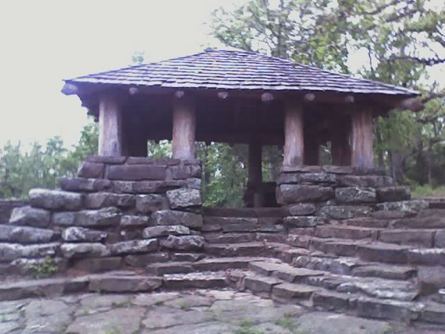
The Butterfield Hiking Trail gets its name from the Butterfield Stagecoach which ran in the area between 1858-1861. The Butterfield Trail is one of the few looped backpacking trails in the state. Beginning in Devil's Den State Park near the park's pavilion, the trail crosses Hwy. 74 and passes near Mount Olive. Scenic views, such as Blackburn Creek and Vista Point, are plentiful. Rock formations and mountainous outcroppings provide photographers with dramatic subjects. Backpackers must obtain a free permit at the park office before beginning their hike.
CCC Interpretive Trail
This self-guided trail winds through the Civilian Conservation Corps camp. Hikers learn about the CCC program and gain a better appreciation for the park. Several trail-side exhibits interpret the CCC camp.
Cross Country Mountain Bike Trail
This trail has something to offer for every biker -- scenic views, creek crossings, dirt roads, single-track, long downhills and taxing uphills. The trail is divided into three different loops outside the park in the Ozark National Forest. Riders must obtain a free permit at the park Visitor Center to ride this trail.
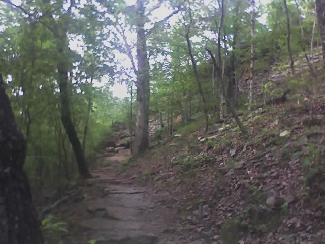
Devil's Den Self-Guided Trail (National Recreation Trail)
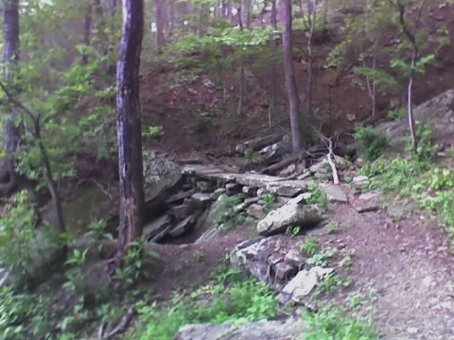
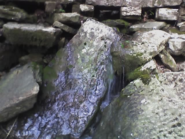
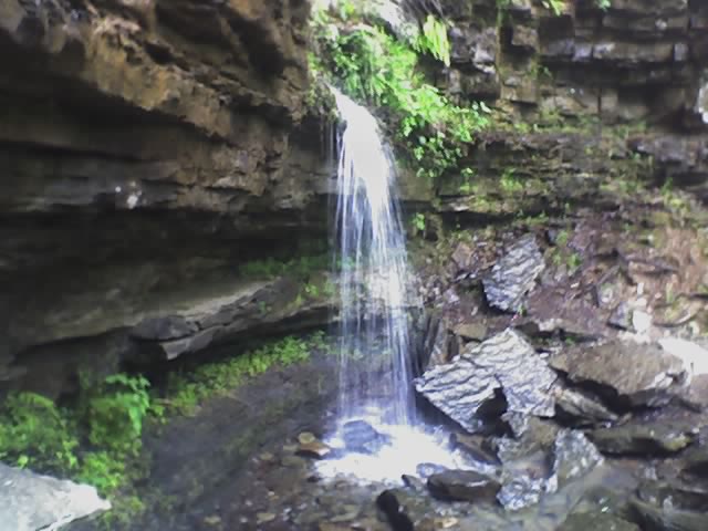
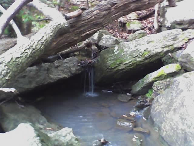
The Devil's Den Trail, one of the most popular trails within the park, features two fracture caves: the Devil's Den and the Devil's Icebox. Gravity flow springs, peculiar erosional remnants of sandstone strata, wet weather waterfalls, and lush Ozark plant and animal life are just a few of the sights you can expect as you wind through the rugged Boston Mountain terrain. A flashlight is necessary to explore the caves. Extreme caution should be used while walking in the cave area due to open crevasses! Trailheads are located behind the visitor center and by the Highway 170 bridge at Lee Creek. Parking is available at both locations.Fossil Flats
Riders can choose three different loops to ride on this trail. There are two creek crossings on each. Racer's Hill contains technical single track and should be ridden by experienced mountain bikers only.
Gorley King
This trail coincides with Vista Point Trail to the top of Holt Ridge and Holt Ridge Overlook. Riders should avoid this trail during high water since there are four creek crossings. The trail is marked with red signs.
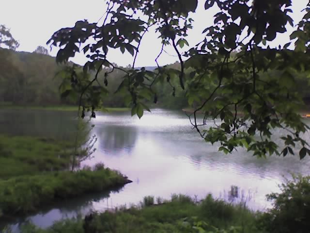
Lake Trail
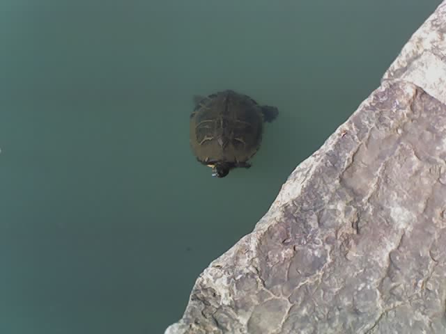
This trail provides views of the lake and Lee Creek. It's also a good place for birding and to observe other wildlife.
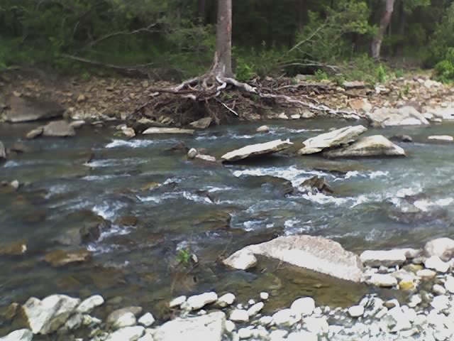
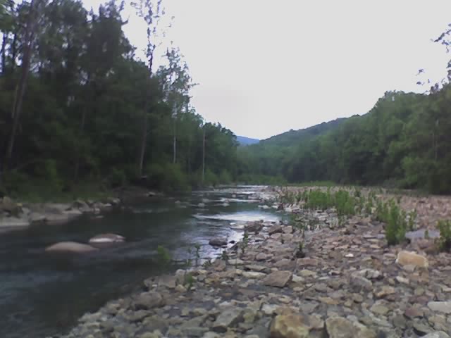
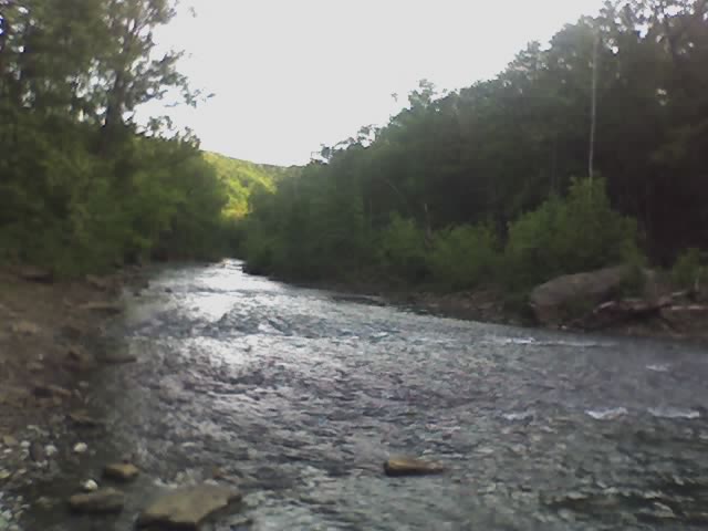
Lee Creek Trail
This loop trail takes hikers up the Lee Creek Valley and returns to the trailhead via the creek bed. Highlights include an abundance of fossils and a seam of coal. The creek bed should be avoided when water is high.
Old Road Trail
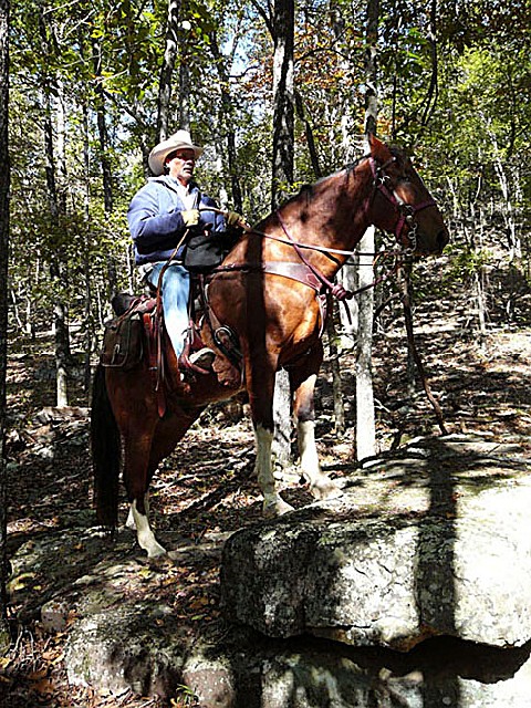
The trailhead is across State Road 220 from the horse camp. This is the easiest of the park's three horse trails. Much of the trail follows the original route of Hwy. 170. Caution is advised at the two locations where it crosses Hwy. 170. The trail is marked with yellow signs.
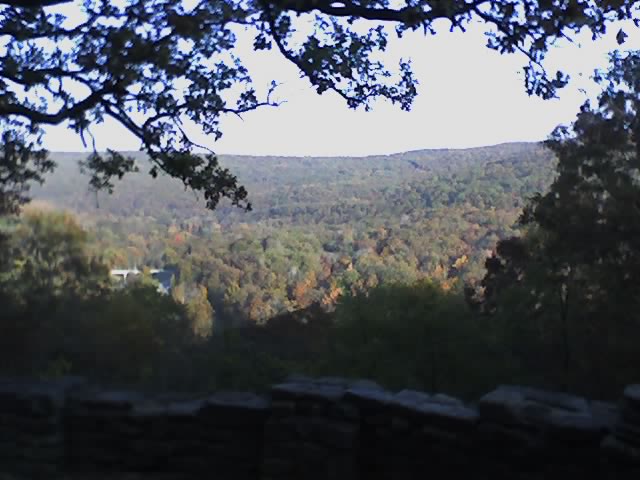
Vista Point Trail
From the horse camp this trail crosses Lee Creek and climbs to the top of Holt Ridge. The highlight of this trail is two overlooks. Vista Point looks out over Blackburn Valley and Holt Ridge Overlook affords riders views of Lee Creek Valley and the park down below. The trail is marked with green signs.
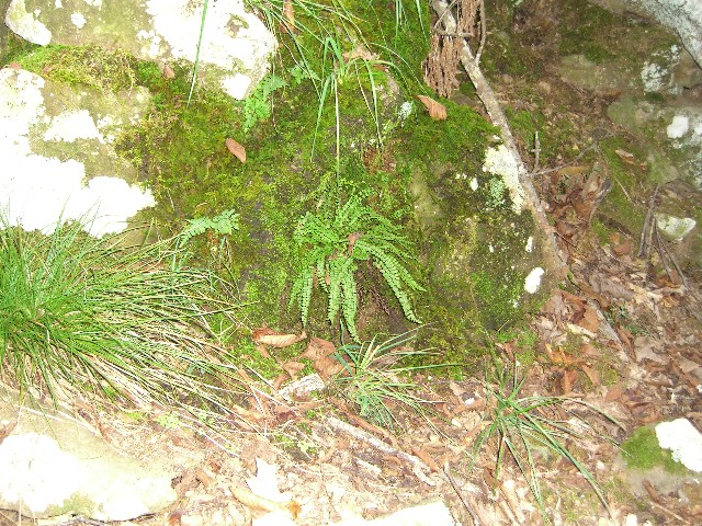
Woody Plant Trail
This short, self-guided trail begins near either bathhouse in Camping Area E and meanders through the woods surrounding the campgrounds. To help visitors learn more about the diversified plant life found in this part of the Ozarks, plants along the trail have been numbered to correspond with an identification sheet which is available at the visitor center.
Yellow Rock Trail
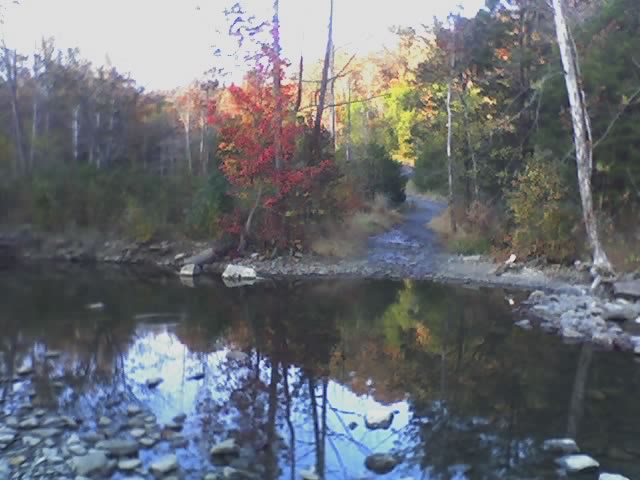
The highlight of this trail is the view from Yellow Rock Bluff. It's an excellent trail to hike in the fall when the leaves are changing. A component of the National Trails System.
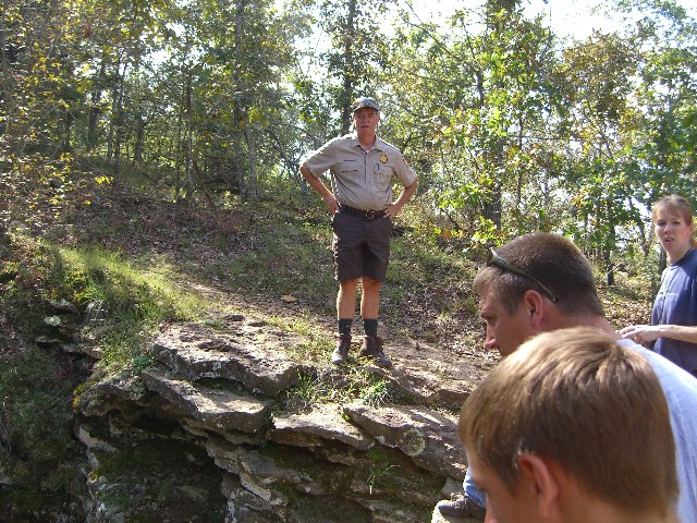
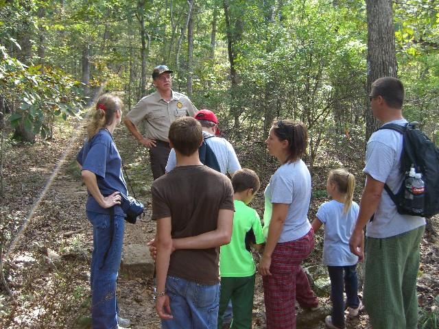
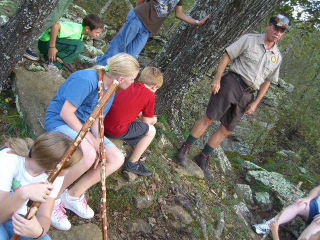
Park interpreters provide guided hikes along several miles of trails including the 15-mile Butterfield Hiking Trail. Games and programs are hosted daily during summer. Interpretive programming is available during spring, fall and winter by request.
To reach Devil's Den State Park, travel eight miles south of Fayetteville on I-540 to Exit #53 (West Fork), then go 17 miles southwest on Ark. 170; or I-540 at Exit #45 (Winslow) and go 7 miles west on Ark. 74 to the park. [TRAILERS LONGER THAN 26 FT. SHOULD USE CAUTION WHEN USING ARK. 74 DUE TO THIS MOUNTAINOUS ROAD.]


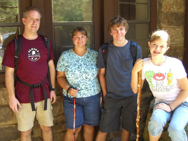
 Share Your Devils Den State Park Photos (click here)
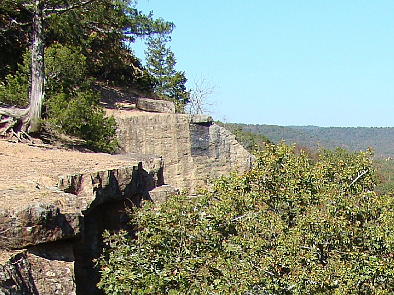