DELAWARE STATE PARK
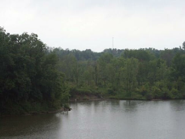
Dense woodlands, expansive meadows and a shimmering reservoir blend to create Delaware State Park. Once home to the Delaware Indians, this recreational area offers camping, swimming, boating, fishing and wildlife viewing for outdoor enthusiasts.
Delaware State Park rests in the midst of the fertile agricultural till plains of Delaware County. In contrast to the surrounding farmlands, the park offers a variety of natural features. The area lies upon Columbus limestone. Formed over 350 million years ago, this bedrock outcrops in a north-south band through Ohio. The rock has been quarried for years and utilized in many ways including the construction of the state capitol building in Columbus.
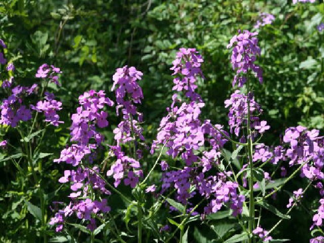
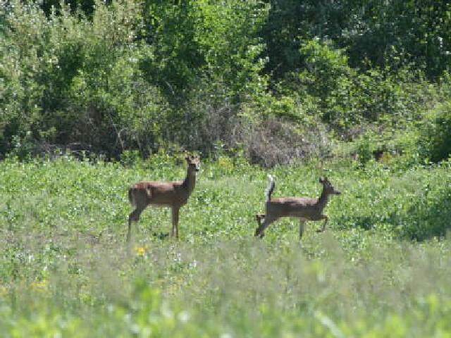
Before settlement of the area, a rich beech-maple forest covered the landscape. That original forest has long since been cut, but a healthy second growth forest is preserved in the park. The woodlands and meadows harbor a diverse array of plant and animal life. Interested observers can find large-flowered trillium, wild blue phlox, Queen Anne's lace and New England asters. The fields and woodlots are home to the fox squirrel, woodchuck, rabbit and white-tailed deer. The adjacent wildlife area is populated with ring-necked pheasant, while the lake and wetlands are a mecca for waterfowl. Birdwatching is popular here as many species of songbirds nest in the area. A bluebird management trail attracts this beautiful cavity-nesting bird.
The town, county and park of this area are all named for the Delaware tribe. These people were referred to by other Indians as Na-Be-Naugh-a or "people from the east." They moved westward from their ancestral home in the Delaware Valley to escape pressure exerted upon them by the fierce Iroquois nation. The tribe assumed the name of Delaware, derived from the designation of their eastern valley. The word originates from the name of Lord Delaware, once the governor of Virginia.
In Ohio, the Delaware joined with other tribes including the Wyandot and Shawnee to block the western expansion of the settlers. A reminder of this long struggle is reflected in the ruins of Fort Morrow located on private property north of SR 229.
In the early 1800s, a route near present U.S. 23 was well worn by folks destined for Lake Erie. A brick tavern, constructed in 1810, served as a resting place for the travelers. The structure was built on a small hill overlooking the valley now holding the reservoir. In response to the coming war with the British and Indians, a Captain Taylor directed the building of a palisade around the tavern. The new Fort Morrow served to protect the establishment as well as to function as a sanctuary for local settlers in case of Indian attack. Although several scares brought families to its protective cover, no actual attacks were recorded.
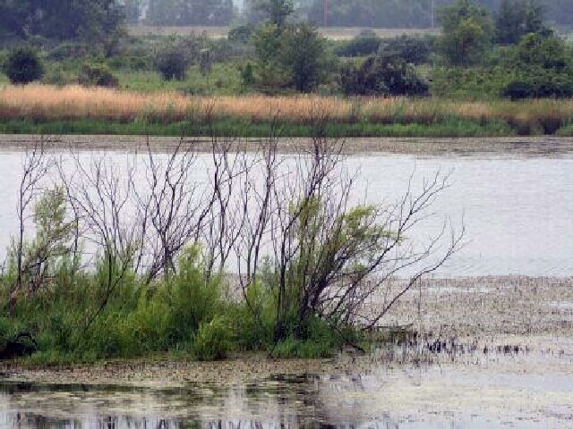
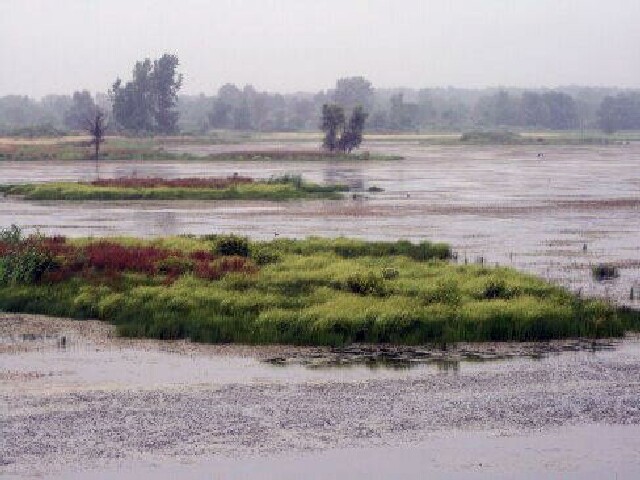
Delaware Lake was created by the U.S. Army Corps of Engineers with the construction of a flood control dam in 1951. The flood control reservoir was dedicated as a state park later that year.
Ohio does not have an annual pass and does not charge entrance fees to state parks.
GeneralLand, acres1,686
Water, acres1,330
Nearby Wildlife Area, acres4,670
Day-UseFishingyes
Huntingyes
Hiking Trail, miles7
Picnickingyes
Picnic Sheltersyes
Swimming Beach, feet800
Beach Concessionyes
Nature Programsyes
BoatingBoat Rentalyes
Boating LimitsUnlimited HP
Seasonal Dock Rental273
Launch Ramps, #2
Fuel For Saleyes
CampingElectric Sites, #211
Pets Permittedyes
Flush Toiletsyes
Dumpstationyes
Showersyes
Youth Group Camp, capacity100
Rent-A-Yurt, #2
WinterSleddingyes
Cross-Country Skiingyes
Ice Skatingyes
Ice Fishingyes
The campground offers 214 sites suitable for tents or trailers. The campground features flush toilets, showers, laundry facilities and a dump station. Electricity is supplied at 164 of the sites. A group camp is available for organized youth groups on a reservation basis. Pets are permitted at designated sites. Three Rent-A-Camp units, consisting of a tent, sheltered picnic table and other equipment, may be reserved during the season.
The public beach at Delaware is popular with park visitors. Facilities include bathhouse, showers and a snack bar. Two boat/swim areas are designated on the lake.
Boating with unlimited horsepower is permitted. Boat-launching ramps are conveniently located around the lake. Boat and dock rentals are offered seasonally. A fully equipped marina offers fuel, fishing and boating supplies.
You can fish from the shoreline or a boat in the 1,300-acre reservoir. Species include largemouth bass and crappie.
The park also offers fishing for bluegill, channel catfish, saugeye and white bass.
Ice fishing is popular during winter months when conditions are safe enough to venture onto frozen water bodies.
Fishing equipment rental services are available within the park if you don't have your own gear.
A valid Ohio Fishing License is required before casting lines into any of these waters.
Delaware State Park is located near Delaware, Galena and Lewis Center
Many picnic tables are located in quiet, scenic spots overlooking the lake. A shelter house is available for rental. Call the park office for details.
In the heartland of Ohio, a park offers several bicycling options. Be aware that some trails are multi-use.
The 4-mile multipurpose trail is paved and suitable for all skill levels. Stay alert for pedestrians or joggers.
Mountain bikers can explore an off-road bike path but should be cautious due to its challenging nature.
Remember safety gear when cycling on these paths; helmets are recommended especially on more difficult routes.
For those seeking longer rides, there's access to the regional 14-mile Meredith State Road Trail nearby - exercise caution here too!
Always respect other users' space while enjoying your ride in this beautiful natural setting located within Buckeye state boundaries.
A network of trails aid visitors in their exploration of the park. The trails connect the lakeshore with each of the four camping areas, transecting meadows, woodlands and wetlands.
The park offers a variety of birding opportunities with over 200 species recorded. It is home to various habitats including woodlands, meadows and wetlands that attract different types of birds throughout the year. Birdwatchers can spot waterfowl in winter months while spring brings warblers and other migratory songbirds. The area also supports nesting pairs of bald eagles which are often seen soaring above Alum Creek Lake.
Delaware Wildlife Area offers 4,670 acres managed by the ODNR Division of Wildlife for public hunting and fishing. A number of the area's 55 stocked ponds are open to anglers. Information can be obtained at the park office or the Division of Wildlife office on State Route 229. Alum Creek State Park southeast of Delaware offers boating, fishing, swimming and camping.
Two nature preserves are located in Delaware County. High banks, owned and managed by the Metropolitan Park District of Columbus, is a scenic preserve with geological, botanical and cultural features. Seymour Woods State Nature Preserve contains deep ravines, heavily wooded ridge tops and open fields. Access to Seymour Woods is by written permission only from the Chief of the Division of Natural Areas and Preserves.
The Columbus Zoo and the Wyandot Lake Amusement Park are located within a short distance of the park.
Norton Sporting Goods
100 Norton Rd
Waldo, OH
(740) 726-2616
Surf Bait & Tackle
230 E Main St
Lakeside Marblhd, OH
(419) 798-9003
K J T Distributing Co
8549 E Northshore Blvd
Lakeside Marblhd, OH
(419) 798-5556
Bay Point Marina
10948 E Bayshore Rd
Lakeside Marblhd, OH
(419) 798-4434
Lighthouse Resort
614 E Main St
Lakeside Marblhd, OH
(419) 798-9600
Little Ted's Cottages & Family Resort
8390 E Northshore Blvd
Lakeside Marblhd, OH
(419) 798-5507
Hotel Lakeside & Fountain Inn
236 Walnut Ave
Lakeside Marblhd, OH
(419) 798-4461
Cottages and Cabins
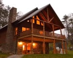
Trickle Creek offers luxury cabins in Hocking Hills. The cabins are situated on nearly 236 acres of secluded cabin rentals in the deep wooded ravines in the foothills of the Appalachian Mountains in Hocking County, Ohio.
62.7 miles from park*
Cottages and Cabins
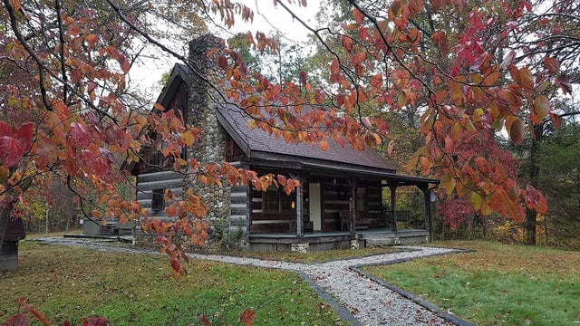
Hidden Cave Cabin is an authentic log cabin with 2 bedrooms in a private wooded setting. It is located on one of the most scenic drives in Hocking Hills and just 3.6 miles to Rock House and less than 10 miles to Conkle's Hollow and Old Man's Cave.
64.9 miles from park*
From Cleveland, Ohio: I-71 South to State Route 36-37, go West on State Route 36-37. Go North on U.S. 23 in Delaware City. Park entrance is on U.S. 23 5 miles North of the city of Delaware.From Columbus, Ohio: North on U.S. 23, 5 miles North of the city of Delaware, park entrance is on the East side of the road at the traffic light.From Cincinnati, Ohio: North on I-71, exit at State Route 36-37 ( Delaware Sunbury Exit). Travel West on State Route 36-37. Go North on U.S. 23, 5 miles North of the city of Delaware.From Toledo, Ohio: South on U.S. 23 , the park entrance is located on U.S. 23 9 miles South of the city of Marion.From Delaware, Ohio: Take U.S. 23 5 miles North of the city of Delaware.


 Share Your Delaware State Park Photos (click here)