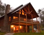
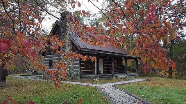
BUCKEYE LAKE STATE PARK
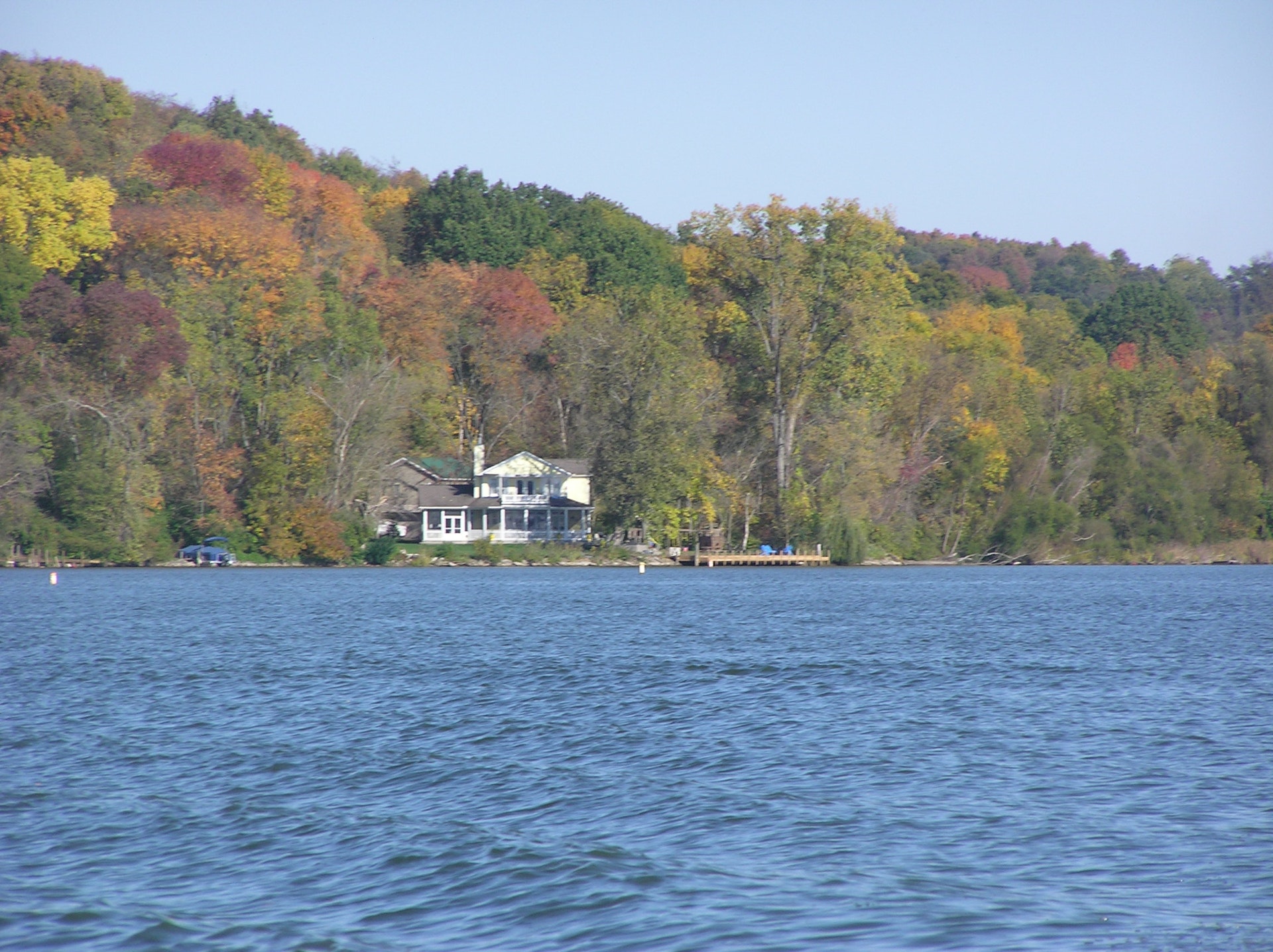
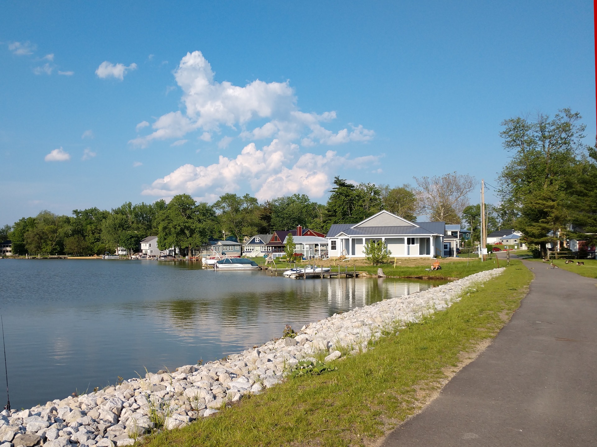
Buckeye Lake, constructed as a canal feeder lake in 1826, is Ohio's oldest state park. The park has long been a popular vacation spot and offers endless water-related recreational opportunities including swimming, skiing, boating and fishing.
Park Map (pdf)At one time, the ground now known as Buckeye Lake was swampland resulting from glaciation. Thousands of years ago the glaciers moved south across Ohio altering drainage systems and landscape. Natural lakes, known as kettles, were created when huge chunks of ice broke off the glacier and melted in depressions. Other lakes were formed when the glacier blocked existing water outlets. As time progressed, clay and silt settled out of the still water into the bottom of the lakes.
Today as we study the landscape, we can learn of the old lake locations by the nature of the underlying clay and silt. The large area of fine clay sediment in the Buckeye Lake region indicates that the glacial lake was broader than the present man-made lake.
When the white man began settling in Ohio, only a few of the ancient lakes remained. They were shallow and swampy, and more correctly classified as bogs or marshes. Explorer Christopher Gist, while traveling the Scioto-Beaver Trail just south of Buckeye Lake, camped by the watery bog's edge. In 1751, he named the area Buffalo Lick or Great Swamp in his journal. The Great Swamp included two long narrow ponds that were joined during high water. A considerable part of the wetland was a cranberry-sphagnum bog. Cranberry Bog, a state nature preserve and a National Natural Landmark, is situated in Buckeye Lake. When the lake was impounded in 1826, Cranberry Bog broke loose from the bottom and became a floating island which may conceivably be the only one of its kind in the world. Most of the islan
d is an open sphagnum moss meadow with an abundance of cranberries and pitcher plants making the area a naturalist's delight. Access to the island is by permit only from the ODNR Division of Natural Areas and Preserves.
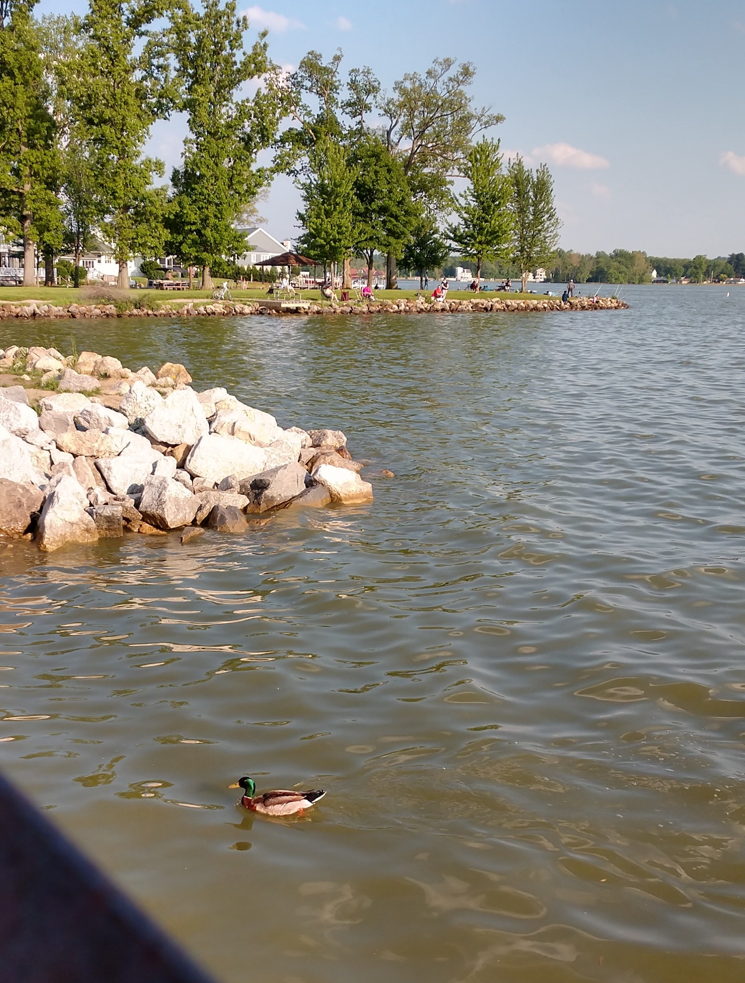
Buckeye Lake's shoreline offers excellent habitat for waterfowl. Good bird-watching opportunities exist especially during the spring and fall migrations. One of the state's largest great blue heron rookeries is situated on adjacent private land, but the birds can often be seen in the park.
In order to provide interconnecting waterways for a growing state, a canal system was developed in the early 1800's. The system required feeder lakes to supply the water necessary to maintain the four-foot canal water level. Because of their location, areas such as St. Marys, Indian Lake, Lake Loramie, Guilford and Buckeye lakes were to be developed as part of the project.
The canal project was formally started by Governor Jeremiah Morrow on July 4, 1825 in a special ceremony near Newark. In attendance was New York's DeWitt Clinton, the father of the Erie Canal. Ohio's canal system was becoming a reality.
Construction of the dike blocking drainage into the South Fork of the Licking River began in 1826 and was completed in 1830, forming the Licking Summit Reservoir which would eventually become Buckeye Lake. Before impoundment, the forests were not cleared leaving large tracts of timber and brush emergent in the newly formed lake.
As the water level rose, several large mats of sphagnum moss broke loose from the bottom and became "floating islands". Other islands were created because the land was above the water level.
During the canal era, canal boats traveled along the original western end of the lake. This lake however, was not large enough to supply the necessary water for the canal so it was enlarged. Later, in order to provide an even larger amount of water, another lake was developed north and west of the original one. A dike, known as "Middle Wall", separated the Old Reservoir and New Reservoir. This dike was used as a towpath for the canal.
With the advent of railroads, the canal system became outdated. Many miles of canal fell into disuse and were abandoned or sold. In 1894, the General Assembly of Ohio set a policy whereby the feeder reservoirs were established as public parks. At that time, the name of Licking Summit Reservoir was changed to Buckeye Lake.
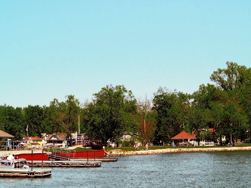
By 1900, there were numerous cottages and several amusement parks around Buckeye Lake. In the early 1900's, as recreational use increased and power boats became popular, the "North Bank" was reinforced and the "Middle Wall" removed. Development continued around the lake. During the 1940's and 50's, many folks traveled to the Buckeye Lake Amusement Park to see big-band stars, dance and picnic.
In 1949, when the Ohio Department of Natural Resources was created, the area officially became Buckeye Lake State Park.
Ohio does not have an annual pass and does not charge entrance fees to state parks.
GeneralLand, acres176
Water, acres3,173
Day-UseFishingyes
Huntingyes
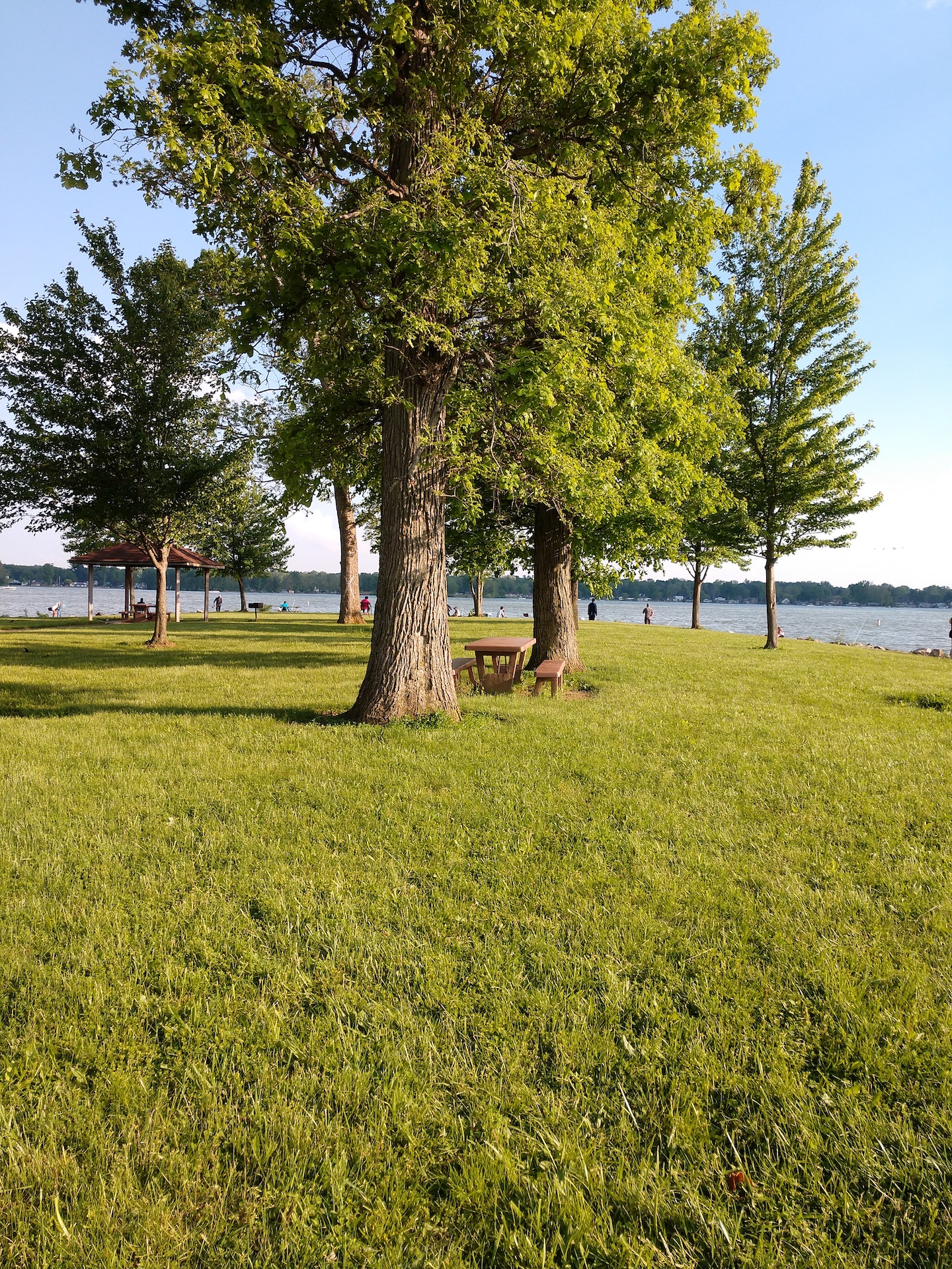
Picnickingyes
Picnic Shelters, #4
Swimming Beachyes
BoatingBoating LimitsUnlimited HP
Seasonal Dock Rental136
Launch Ramps, #9
Fuel For Saleyes
WinterCross-Country Skiingyes
Ice Boatingyes
Ice Skatingyes
Ice Fishingyes
Public swimming areas with parking facilities, change booths and latrines are located at Fairfield Beach and at Brooks Park on the south side of the lake. Beaches are open from Memorial Day to Labor Day. Two boat/swim areas are offered as well.
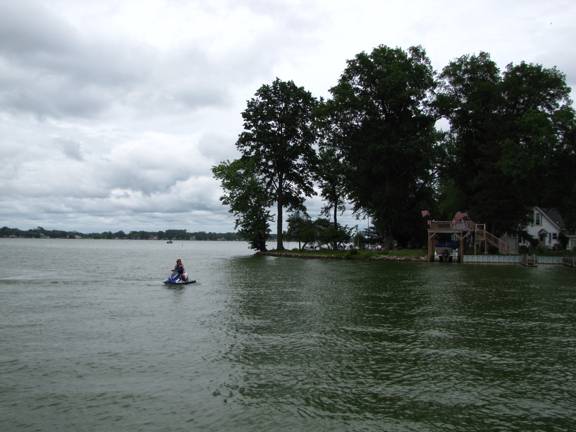
The 3,300-acre Buckeye Lake is designated as an unlimited horsepower lake, but pontoons, sailboats, canoes and rowboats are also common. Access to the lake is available at several public launch ramps.
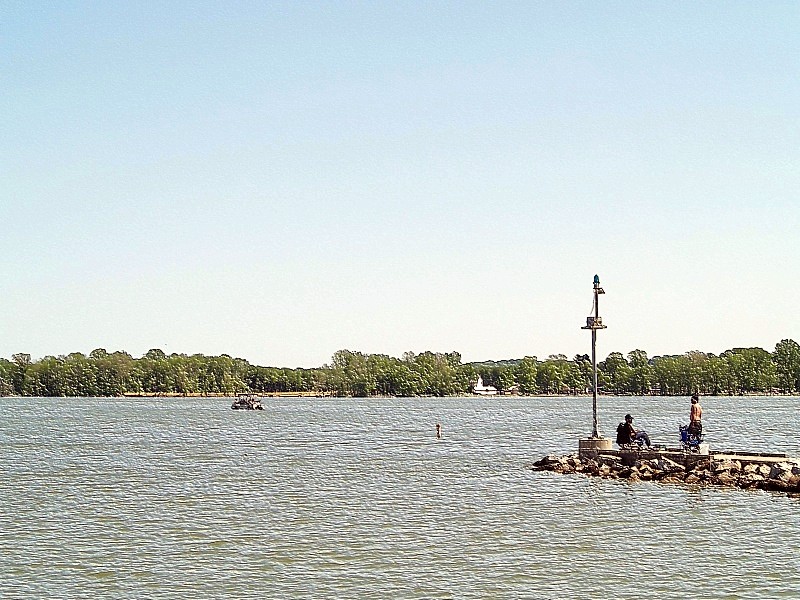
Lake Map (pdf)Buckeye Lake State Park in Ohio offers a variety of fishing options for both novice and experienced anglers. The lake is home to several species including largemouth bass, bluegill, crappie, channel catfish and saugeye which can be caught from the shore or by boat. There are multiple public access points around the lake where you can cast your line directly into its waters.
For those who prefer boating while they fish, there's an accessible launch ramp available at Lieb's Island on South Bank Road that allows easy entry onto Buckeye Lake's water surface. Boat rentals are also offered within the park if visitors do not have their own vessel.
In addition to traditional rod-and-reel methods, bowfishing is permitted as well during daylight hours only with longbow or compound bows; crossbows however aren't allowed.
Ice fishing becomes popular when conditions permit safe ice formation over winter months but it should always be done with caution due to varying thickness across different parts of this large body of water.
Fishing tournaments often take place throughout warmer seasons providing competitive opportunities for serious fishermen/women visiting Buckeye Lake State Park too!


 Share Your Buckeye Lake State Park Photos (click here)
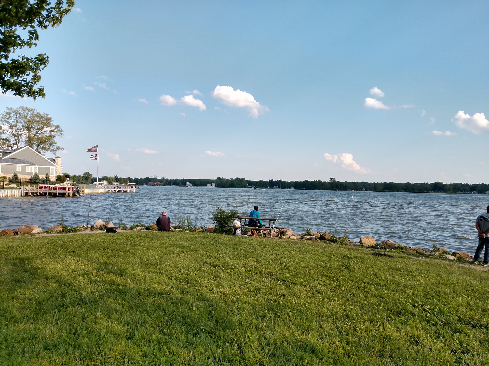