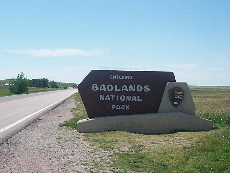
BADLANDS NATIONAL PARK
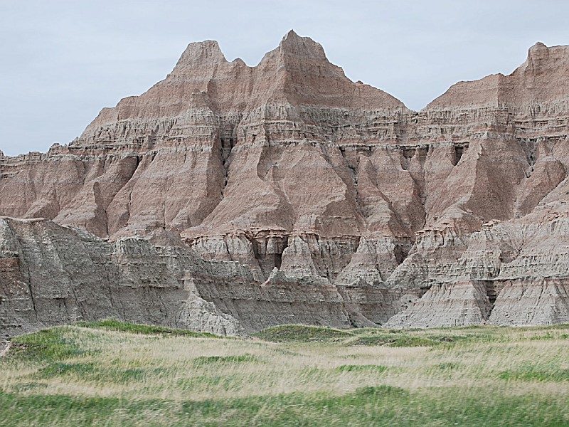
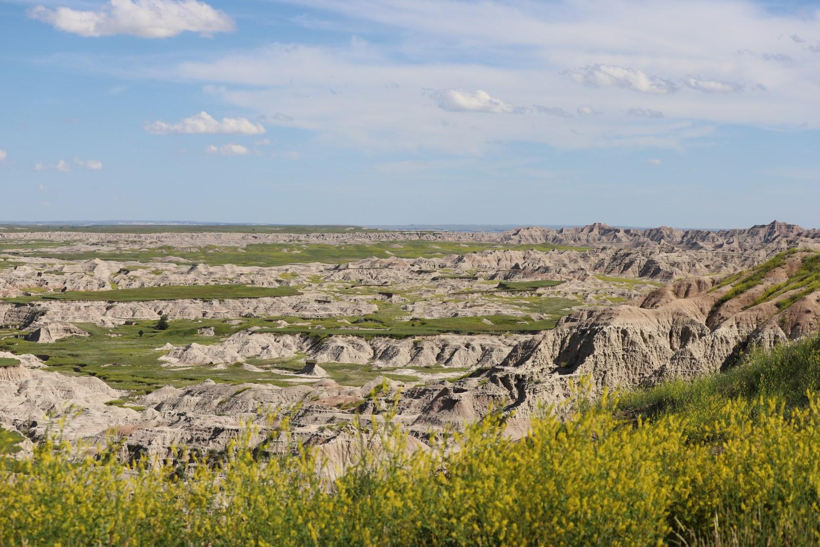
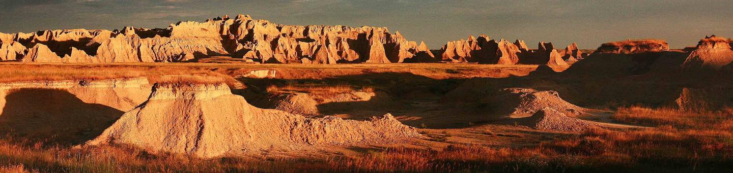
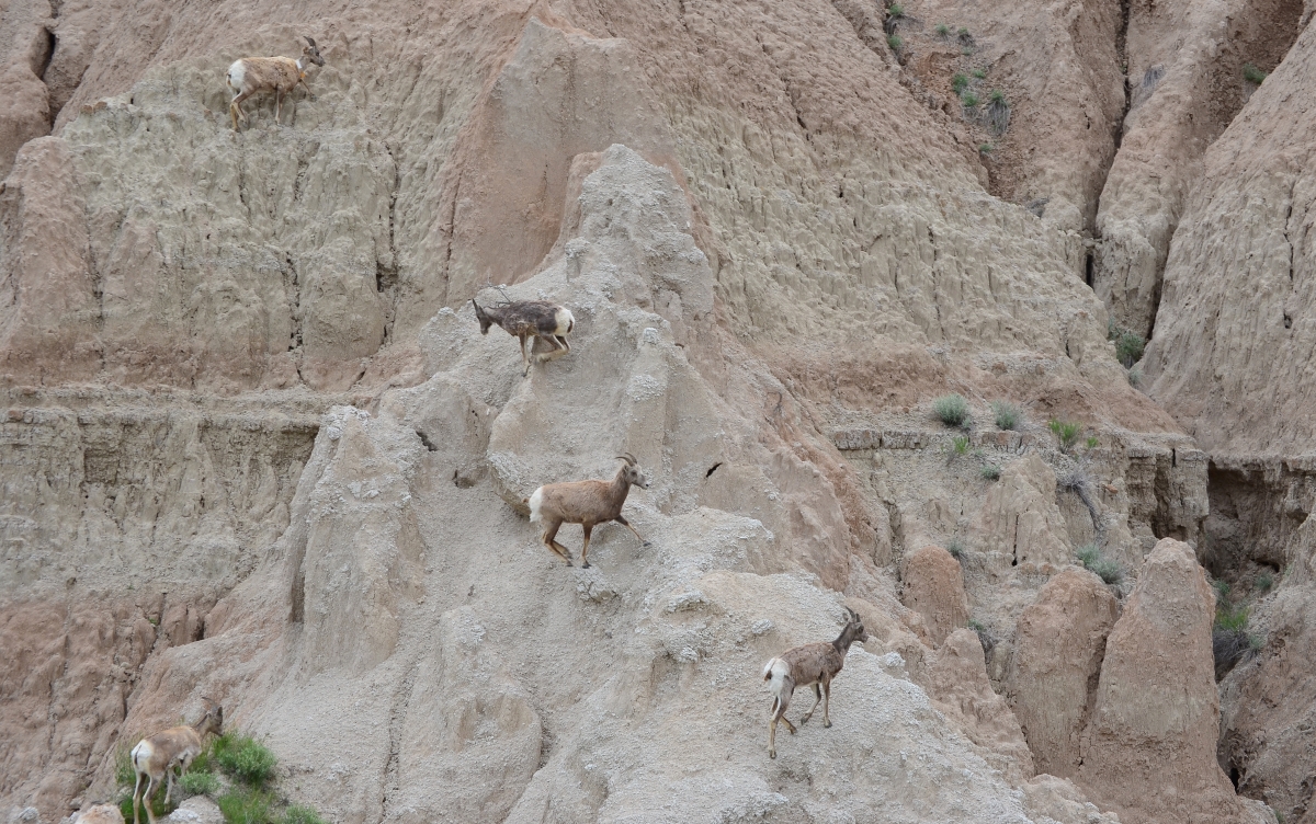
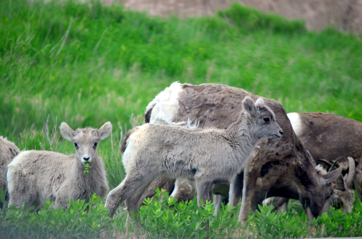
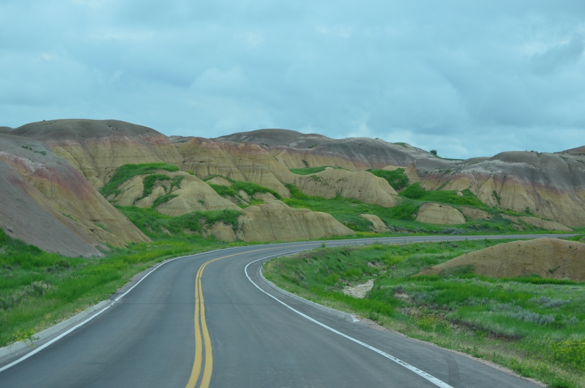
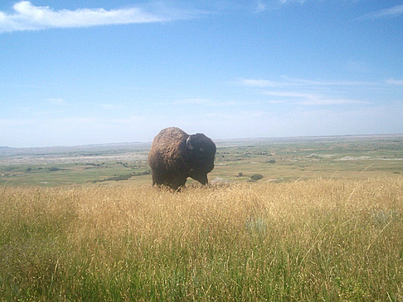
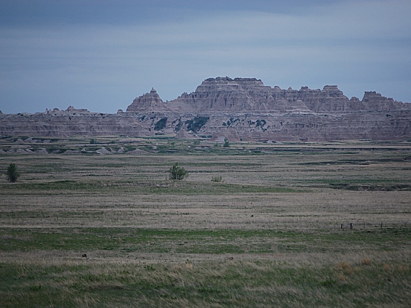
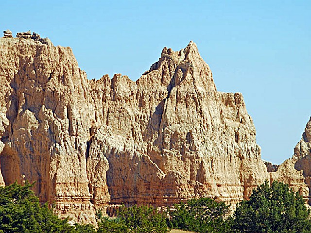
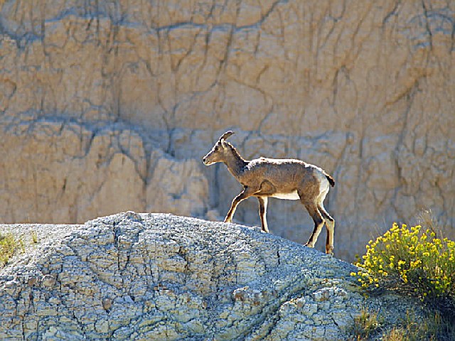
Located in southwestern South Dakota, Badlands National Park consists of 244,000 acres of sharply eroded buttes, pinnacles and spires blended with the largest, protected mixed grass prairie in the United States. The Badlands Wilderness Area covers 64,000 acres and is the site of the reintroduction of the black-footed ferret, the most endangered land mammal in North America. The Stronghold Unit is co-managed with the Oglala Sioux Tribe and includes sites of 1890s Ghost Dances. Established as Badlands National Monument in 1939, the area was redesignated "National Park" in 1978. Over 11,000 years of human history pale to the ages old paleontological resources. Badlands National Park contains the world's richest Oligocene epoch fossil beds, dating 23 to 35 million years old. Scientists can study the evolution of mammal species such as the horse, sheep, rhinoceros and pig in the Badlands formations.
 Cedar Pass Campground
Surrounded by the vast, open prairie and featuring expansive views of the Badlands, Cedar Pass Campground is a great base camp from which to explore Badlands National Park. Featuring 96 sites, this seasonal campground is open from late March through mid-October, and is conveniently located within easy walking distance of Cedar Pass Lodge Restaurant and the
....moreBADLANDS PRAIRI:
Badlands National Park is located at the western edge of the mixed grass prairie. The mixed grass prairie of the central United States is actually a transition zone between the more arid shortgrass prairie to the west and the more moist tallgrass prairie to the east, but because of its size is considered worthy of separate distinction. Warm or cool-season plants, grasses make efficient use of seasonal trends. Cool-season grasses grow early in the season as well as in the late summer and fall attaining greater heights than the warm-season species that come alive during the hot summer months. They are distributed along a continuum from east to west, decreasing in height with a general decrease in available moisture.
Most of the 56 different types of grasses found in the Badlands are native, having developed over millions of years. Taller western wheatgrass, green needlegrass, and needle-and-thread grass dominate low moist spots while shortgrass communities of blue grama and buffalo grass cover drier, rocky outcrops. A number of exotic grasses were introduced as settlers immigrated to this country.
GEOLOGY:
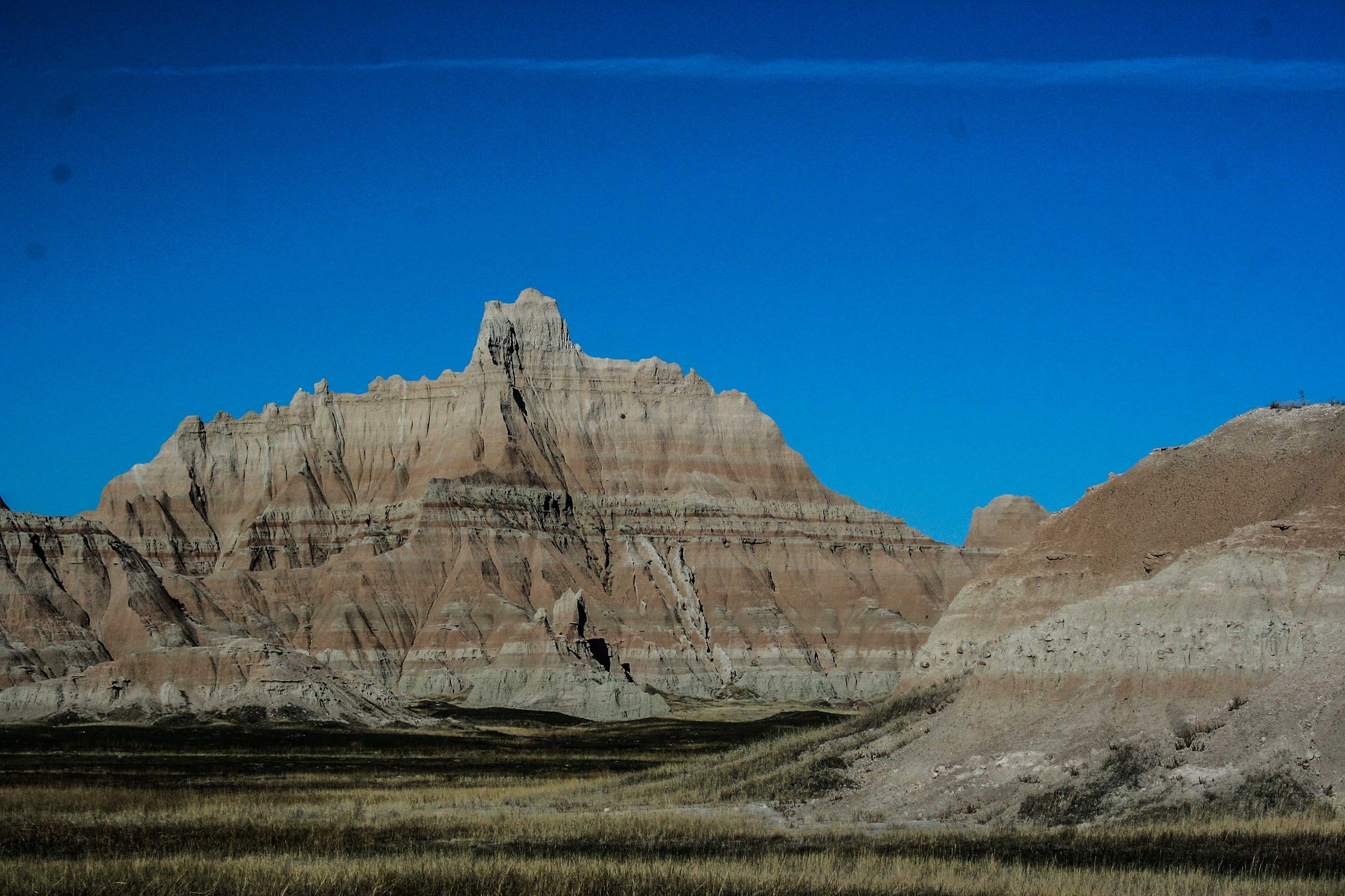
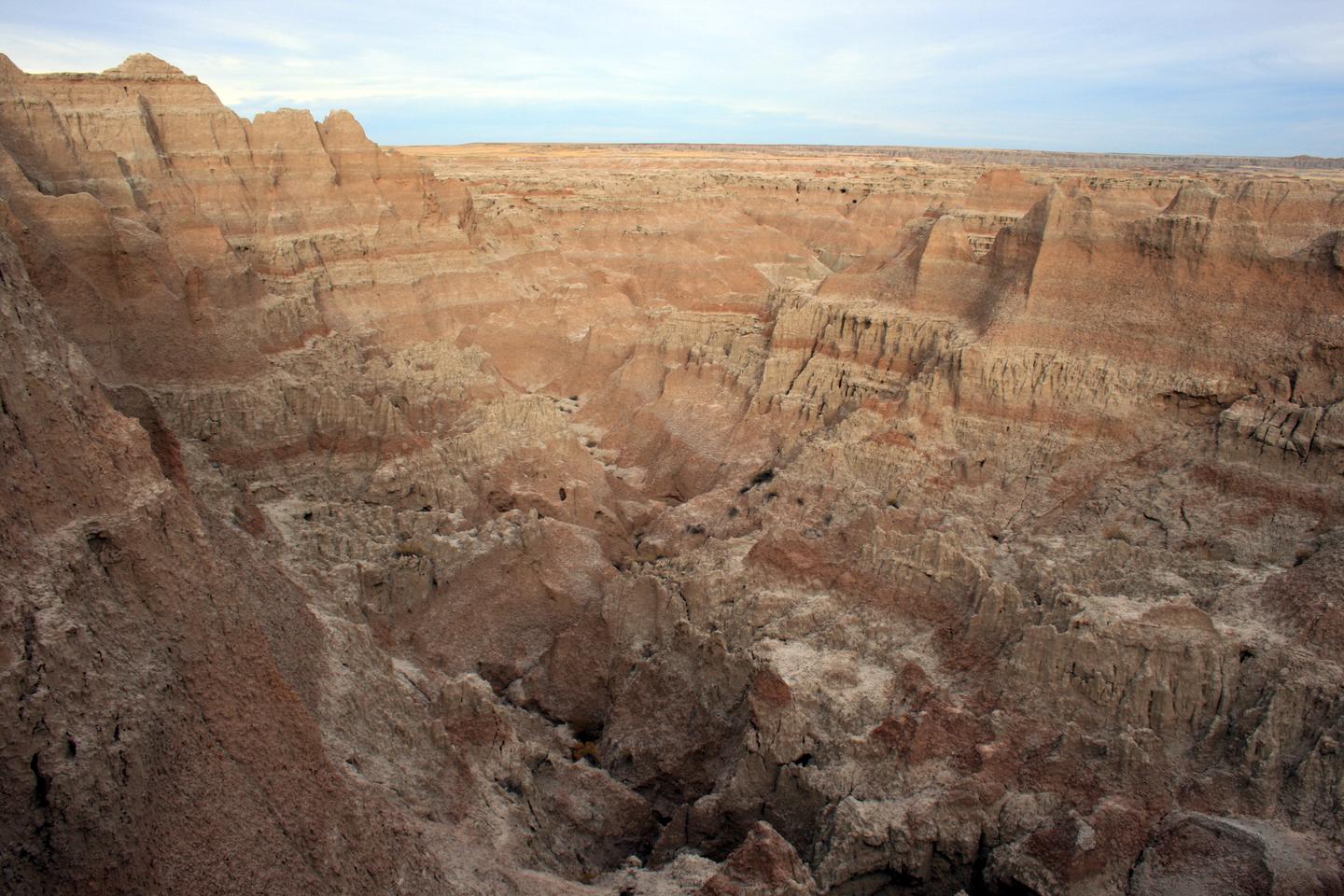
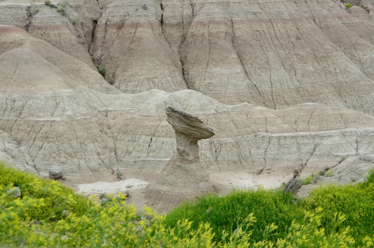
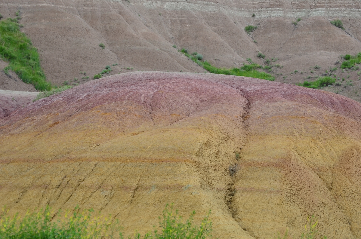
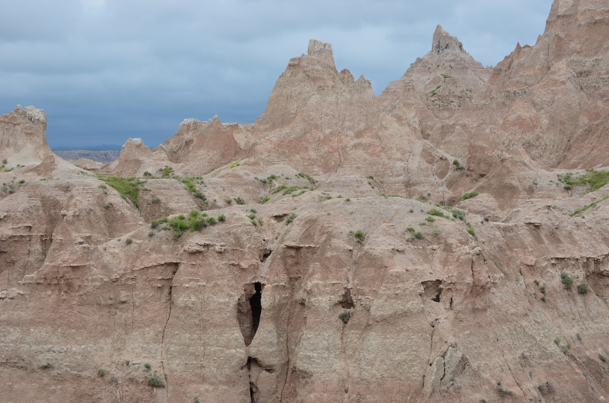
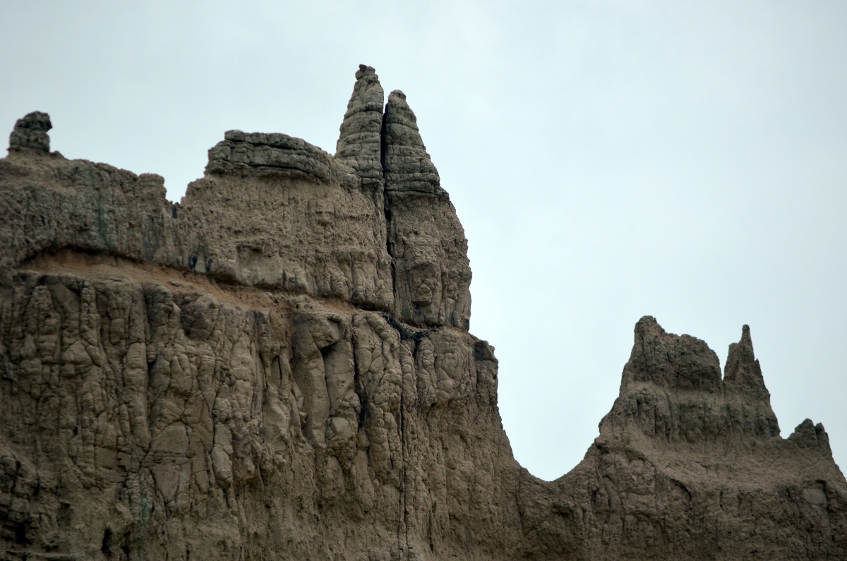
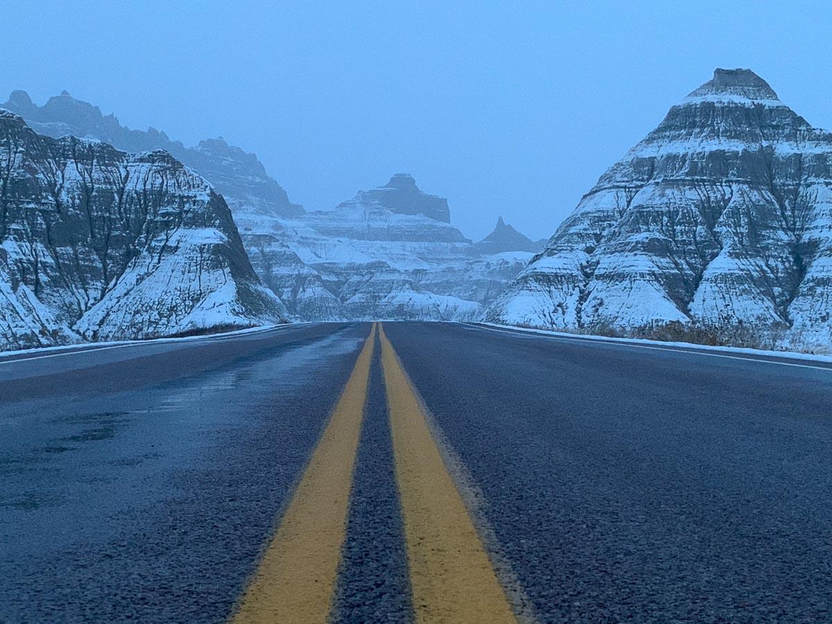
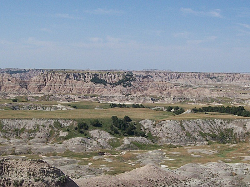
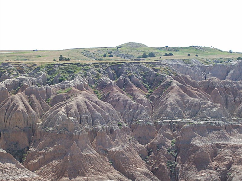
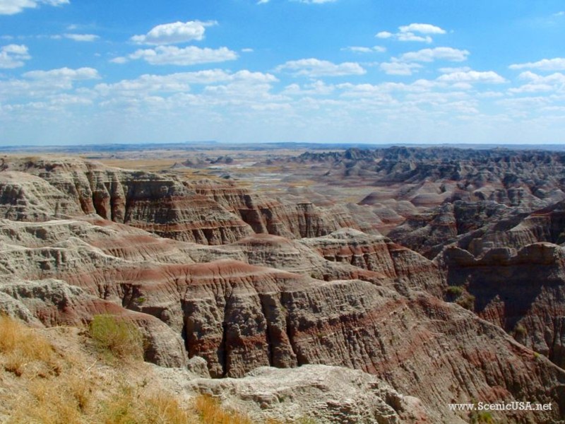
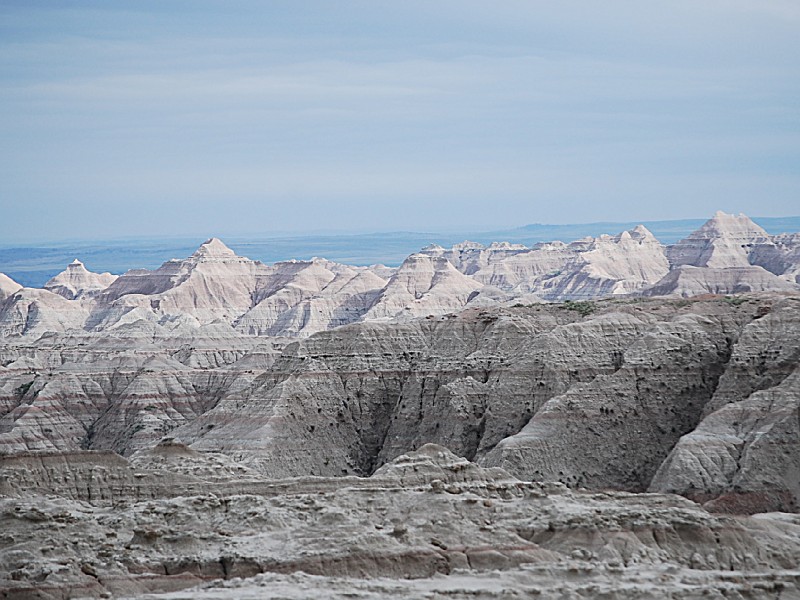
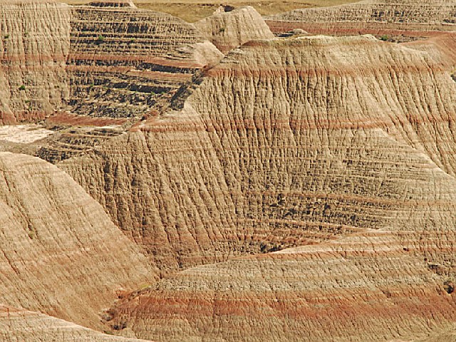
At Badlands National Park, weird shapes are etched into a plateau of soft sediments and volcanic ash, revealing colorful bands of flat-lying strata. The stratification adds immeasurably to the beauty of each scene, binding together all of its diverse parts. A geologic story is written in the rocks of Badlands National Park, it is an account of 75 million years of accumulation with intermittent periods of erosion that began when the Rocky Mountains reared up in the West and spread sediments over vast expanses of the plains. The sand, silt, and clay, mixed and interbedded with volcanic ash, stacked up, layer upon flat-lying layer, until the pile was thousands of feet deep. In a final phase of volcanism as the uplift ended, white ash rained from the sky, completing the building stage.
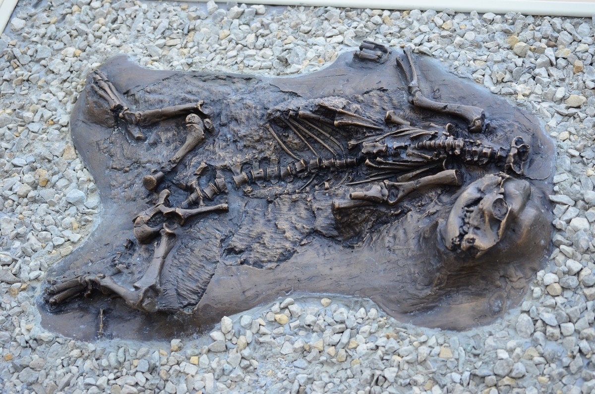
During the Oligocene epoch 40 to 25 million years ago, the region that is now the White River Badlands supported many kinds of animals. The land was then lush, well watered, and much warmer than now. The animals, mostly mammals, roamed the floodplains; many died in floods and were quickly buried in river sediments. Conditions for preservation were excellent; the Oligocene beds are one of the world's richest vertebrate fossil sites, though they represent only a short segment of Earth history.
Broad regional uplift raised the land about 5 million years ago and initiated the erosion that created the Badlands. The White River, which now flows west to east five or ten miles south of the park, eroded a scarp, the beginning of what is now called the Wall. Numerous small streams and rills furrowed the scarp face and eventually intersected to create the Badlands topography.
The history of the White River Badlands as a significant paleontological resource goes back to the traditional Native American knowledge of the area. The Lakota found large fossilized bones, fossilized seashells and turtle shells. They correctly assumed that the area had once been under water, and that the bones belonged to creatures which no longer existed. Paleontological interest in this area began in the 1840's. Trappers and traders regularly traveled the from Fort Pierre to Fort Laramie along a path which skirted Badlands National Park. Fossils were occasionally collected, and in 1843 a fossilized jaw fragment collected by Alexander Culbertson of the American Fur Company found it's way to a physician in St. Louis by the name of Dr. Hiram A. Prout.
In 1846, Prout published a paper about the jaw in the American Journal of Science in which he stated that it had come from a creature he called a Paleotherium. Shortly after the publication, the White River Badlands became popular fossil hunting grounds and, within a couple of decades, numerous new fossil species had been discovered in the White River Badlands. By 1854 84 distinct species had been discovered in North America - 77 of which were found in the White River Badlands. In 1870 a Yale professor, O. C. Marsh, visited the region and developed more refined methods of extracting and reassembling fossils into nearly complete skeletons. From 1899 to today, the South Dakota School of Mines has sent people almost every year and remains one of the most active research institutions working in the White River Badlands. Throughout the late 1800's and continuing today, scientists and institutions from all over the world have benefited from the fossil resources of the White River Badlands. Comparisons between the fossils here and fossils of similar age around the world have helped paint a picture of life on earth millions of years ago.
THE STRONGHOLD DISTRICT:
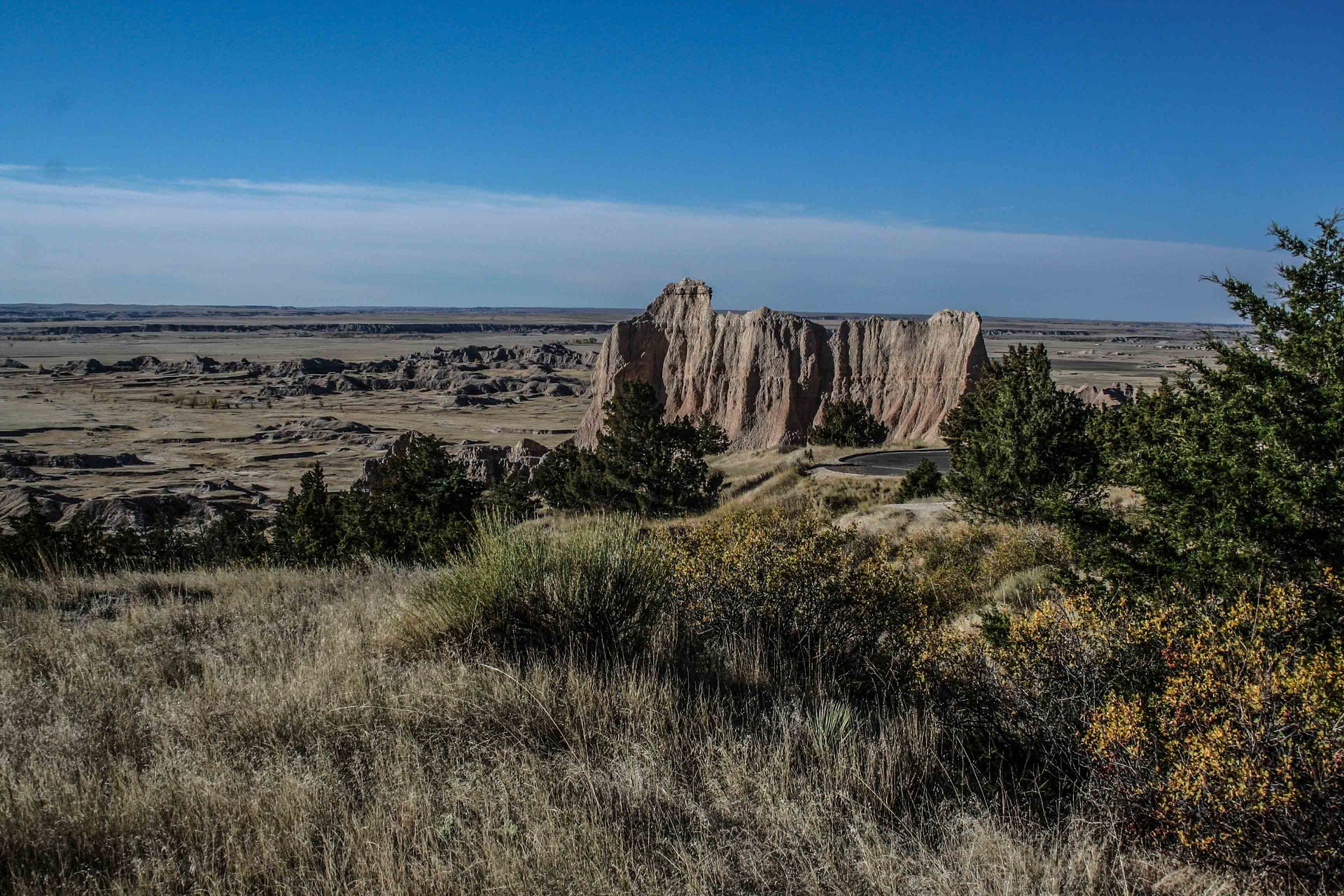
The Stronghold District of Badlands National Park offers more than scenic badlands with spectacular views. Co-managed by the National Park Service and the Oglala Sioux Tribe, this 133,300 acre area is also steeped in history. Deep draws, high tables, and rolling prairie hold the stories of the earliest Plains hunters, the paleo-Indians, as well as the present day Lakota Nation. Homesteaders and fossil hunters have also made their mark on the land. There is a more recent role this remote, sparsely populated area has played in U.S. history: World War II and the Badlands gunnery range.
As a part of the war effort, the U.S. Air Force (USAF) took possession of 341,726 acres of land on the Pine Ridge Reservation for a gunnery range. Included in this range was 337 acres from then Badlands National Monument. This land was used extensively from 1942 through 1945 as air-to-air and air-to-ground gunnery ranges. Old car bodies and 55 gallon drums painted bright yellow were used as targets. Bulls-eyes 250 feet across were plowed into the ground and used as targets by bombardier bombing flights. Precision and demolition bombing exercises were also quite common. After the war, portions of the bombing range were used as an artillery range by the South Dakota National Guard. In 1968, most of the range was declared excess property by the USAF. 2500 acres are retained by the USAF but are no longer used. Today, the ground is littered with discarded bullet shells and unexploded ordnance.
Day-UseHiking Trailyes
Picnickingyes
CEDAR PASS CAMPGROUND:
Summer Camping Fee: $10 per site
Winter Camping Fee: $8 per site
- "First Come, First Served" only
- Campground Hosts on site Memorial Day through Labor Day
- NO CAMPFIRES ARE ALLOWED.
SAGE CREEK CAMPGROUNG:
Sage Creek Campground is a free facility. Reservations are not accepted, and camping availability is on a "First Come, First Served" basis only. The campground has no running water, although pit toilets are available for use by visitors. The campground is used by horseback riders frequently.
The campground is accessible from the unpaved Sage Creek Rim Road. To travel on Sage Creek Rim road, it is recommended that vehicles have a high ground clearance, owing to the uneven road surface.
As with Cedar Pass Campground, no fires are permitted in the Sage Creek Campground without exception.
BACKCOUNTRY CAMPING:
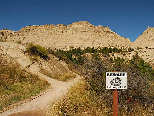
Backpackers may camp anywhere in the park that is at least one-half mile from any road or trail and not visible from park roads. Because only the Castle Trail strays far from the main road, most backpackers set out cross country on routes of their own. When doing so, topographic maps are strongly recommended, if not essential. In the North Unit, the 64,250 acre Sage Creek Wilderness is ideal for backpackers. Leave your car at the primitive campground, and follow Sage Creek into the wilderness.
Elsewhere, the Stronghold and Palmer Creek Units, in the Pine Ridge Indian Reservation, provide variations on badlands topography. Largely undeveloped, these areas of the park contain rough and isolated landscapes. Unimproved roads provide access deep into the Stronghold Unit.
The best times to camp are during the spring and fall, when days are pleasant and nights are cool. The months of April and May are often rainy, although storms are possible year round, so always carry rain gear and extra clothing. Fall is generally cool and clear, but don't be caught unprepared for an early blizzard.
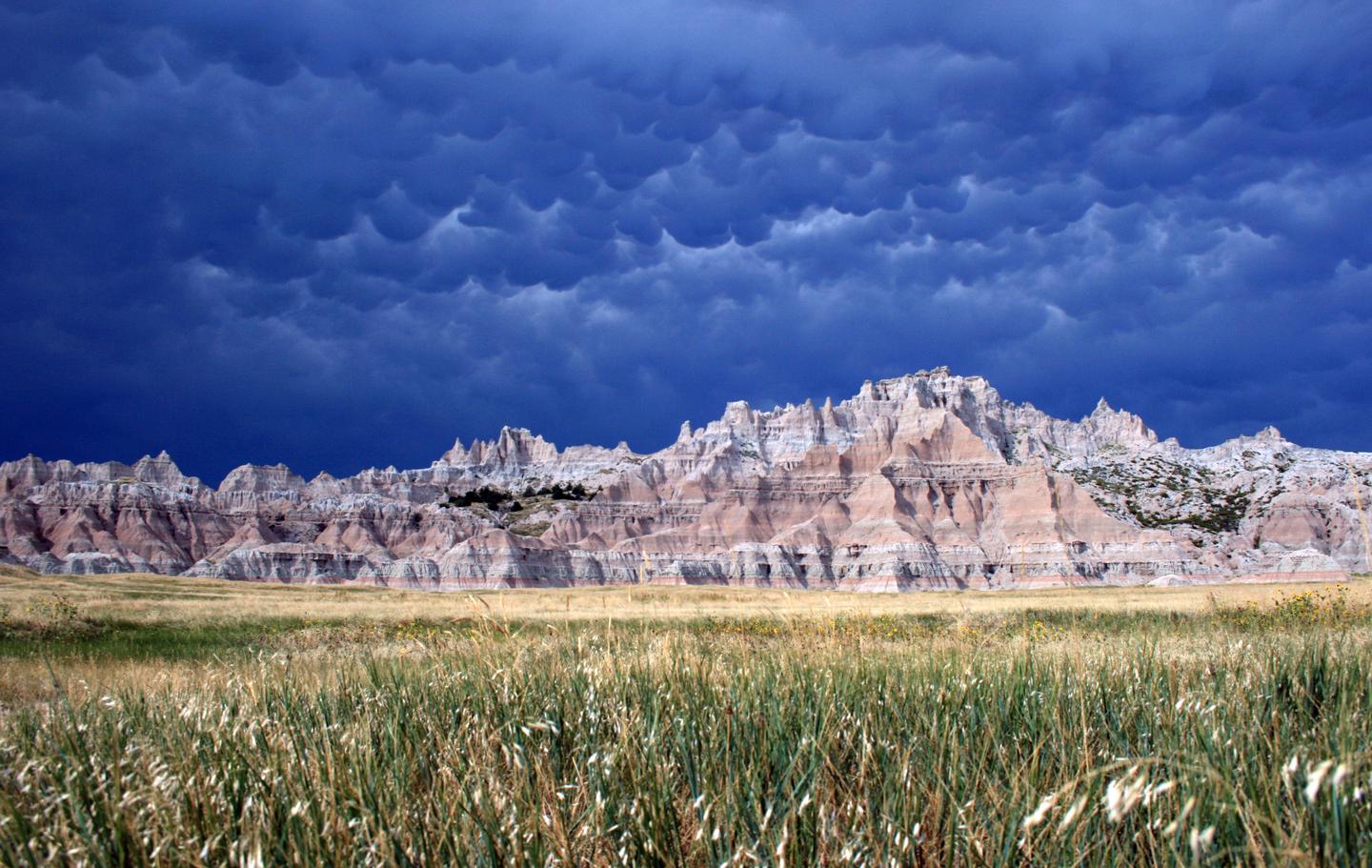
In summer, temperatures exceeding 100? F can pose serious health hazards. Avoid heat sickness by drinking water (at least one gallon or more a day), and staying out of the sun at midday. Be alert for symptoms of heat exhaustion or stroke - cramps (especially in legs and abdomen), weakness, nausea, and dizziness. Hot summer weather is often interrupted by severe thunderstorms, complete with large hail and lightning. If caught in a sudden storm, look for shelter from high winds. Avoid ridges, exposed areas, and isolated trees where lightning may strike.
Only the hardiest hikers attempt backpacking trips in winter. Weather is unpredictable at best. Although days can be sunny, with temperatures comfortably above 30? F, sudden blizzards occasionally send the mercury plunging well below zero. Combined with strong winds, severe winter temperatures make backcountry survival difficult for those unprepared. Hypothermia is a very real threat. Winter backpackers should speak with a ranger at the Ben Reifel Visitor Center before setting out.
The Cedar Pass Lodge, located next to the Cedar Pass Contact Station, offers food service and air conditioned cabins from April until the season ends in mid-October. It has a gift shop, restrooms, and public telephone. For reservations, call (605) 433 - 5460. You can also write: Cedar Pass Lodge, P.O. Box 5, Interior, South Dakota 57750


 Share Your Badlands National Park Photos (click here)