ANDREW MOLERA STATE PARK
In the spectacular Big Sur area, this park is still relatively undeveloped and offers visitors great hiking, fishing and beachcombing.
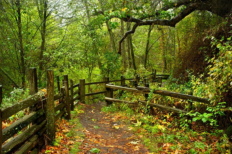
Miles of trails wind through meadows, beaches and hilltops. A primitive walk-in trail camp, popular with hikers and bikers, is located approximately one third mile from the parking area.
Was once part of a Mexican land grant given to Juan Bautista Alvarado. In 1858 it became property of John B.R. Cooper who sold it to Andrew Molera's family around 1890s.
Andrew Molera commercialized artichokes and his sister Frances inherited the ranch after he passed away in 1931. She maintained ownership until her death in 1968 when The Nature Conservancy purchased the area for preservation purposes.
In an agreement with state officials, they transferred control over to California State Parks system by early-1972 where public access has been allowed ever since.
Andrew Molera SP Trail Camp:
There are 24 identified sites. Camping is allowed only at these sites with a maximum of four people per site. Registration will continue to be on a first-come, first-served basis.
The establishment of 24 sites with a limit of four people per site will allow for maximum availability of individual campsites, yet continue to meet the required carrying capacity. Due to these changes, however, group camping at Trail Camp is no longer feasible. Please contact the park for additional information.
Swimming is not recommended at Andrew Molera State Park due to strong rip currents and cold water temperatures.
Located on the Big Sur coastline, this park offers surf fishing opportunities. Anglers can catch striped bass and perch.
Andrew Molera State Park is located near Carmel, Salinas
Andrew Molera State Park offers scenic picnicking spots near the Big Sur River and along coastal bluffs with ocean views.
Beach, Headlands Trails
3 miles round trip
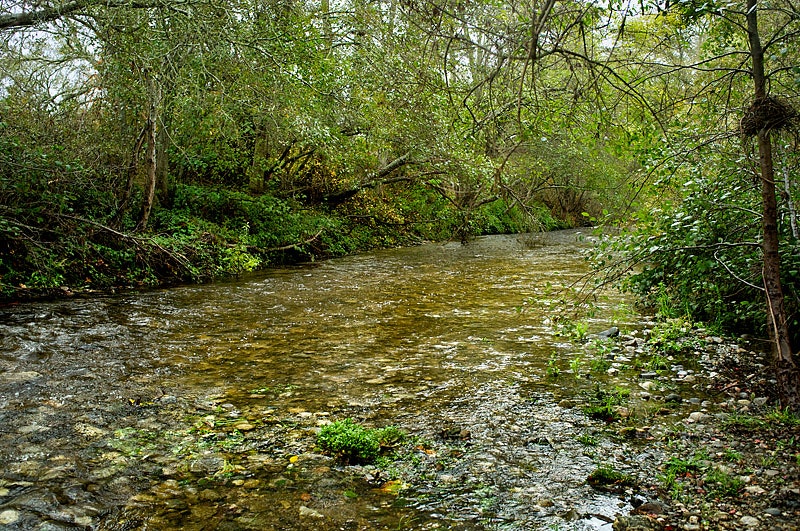
Mountains, meadows and the mouth of Big Sur River are some of the highlights of a walk through Andrew Molera State Park, largest state park along the Big Sur coast. More than 20 miles of trail weave through the park, which has a diversity of ecosystems. You can hike along the bluffs overlooking three miles of beach, and climb through meadows and oak woodland. At the river mouth are a shallow lagoon and beautiful sandy beach.
In 1855, Yankee fur trader Juan Bautista Roger Cooper acquired this land, formerly part of the Mexican land grant Rancho El Sur. Grandson Andrew Molera, who inherited the ranch, had a successful dairy operation. His Monterey Jack cheese was particularly prized.
A good leg-stretcher walk is to take Beach Trail to the beach at the mouth of the Big Sur River, then return via Creamery Meadow Trail. Beach Trail and a number of other park roads are old dirt roads, which allow side-by-side walking, thus appealing to sociable hikers. A longer tour of the park can be made via the Bluff, Panorama and Ridge trails. The coastal views from these trails are magnificent.
You may hear a number of foreign languages en route. The state park?s walk-in campground is very popular with European visitors.
Note that the round trip loop described below relies on wading across the mouth of the Big Sur River. At times of high water, you?ll have to make this trip an out-and-back or get your feet (and possibly much more) wet by crossing the river.
Directions to trailhead: Andrew Molera State Park is just off Highway 1, some 21 miles south of Carmel.
The hike: From the parking lot, cross the Big Sur River on the seasonal footbridge. Walk 100 yards of so along a broad path that soon splits. Bear right onto Beach Trail. (The left fork joins Creamery Meadow Trail, an ideal return route for those who like loop trails.) The trail stays near the river, whose banks are crowded with thimbleberry and blackberry, honeysuckle vines, willow and bay laurel.
At 0.3 mile, you pass through the park?s campground. A side trail leads to Cooper Cabin, an 1861 redwood structure that?s the oldest building on Big Sur?s coast.
At the river mouth is a small beach and shallow lagoon, frequented by sanderlings, willets and many more shorebirds. A short path (Headlands Trail) leads above the beach to Molera Point, where you can watch for whales (January through April) or passing ships. The beach to the south is walkable at low tide.
Loop around the point and then either return the same way or via Creamery Meadow Trail on the south side of the Big Sur River.
Birding enthusiasts can explore diverse habitats including coastal scrub, riparian corridors, and grasslands. Over 300 bird species have been recorded here. Notable sightings include the California condor and black swifts during migration seasons. The Big Sur River attracts waterfowl like mergansers while raptors such as peregrine falcons soar above headlands. Trails offer access to prime spots for spotting songbirds, woodpeckers, and warblers among others.
The park is 20 miles south of Carmel on Highway 1, Latitude/Longitude: 36.2833 / -121.8333.


 Share Your Andrew Molera State Park Photos (click here)
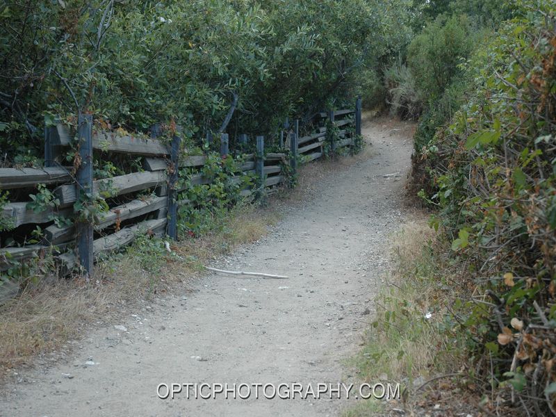